What's New
Charts added:
Lake Superior East
Maui-Oahu
Hawaii-Maui
Johnston Atoll
Lake Michigan North
North Channel
Lake Michigan South
Georgian Bay Northeast
Main Channel
Lake Erie West
App Description
Beautifully designed from the ground up (and the sky down), FlyToMap will change the way you see the world.
Map elements are vector based, so graphics and text are incredibly detailed — even when you zoom all the way in — and panning is smooth. Tilt and rotate to view an area, and everything remain consistent.
"This App offers the full access to the FlyToMap cartography with the in App purchase business model of Apple.
You have all functions of the FlyToMap all in one and the display of the on line data.
You can then purchase all the maps: Marine, Travel, Parks, Lakes etc.. at reasonable cost for using them offline."
Live AIS
Real time map view of your boat & boats near you, worldwide.
No AIS receiver required, just your mobile!
Various icons depict different vessel categories.
Select any target to see vessel details such as name, MMSI, IMO, call sign, status, speed, heading, coordinates, distance from your GPS location, & more.
Free Features and Functions:
√ Latitudes and Longitudes to go to your favorite places
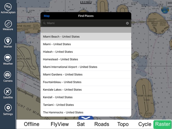
√ Search your Favorite points directly
√ Zoom, Rotate and Pan by a finger touch
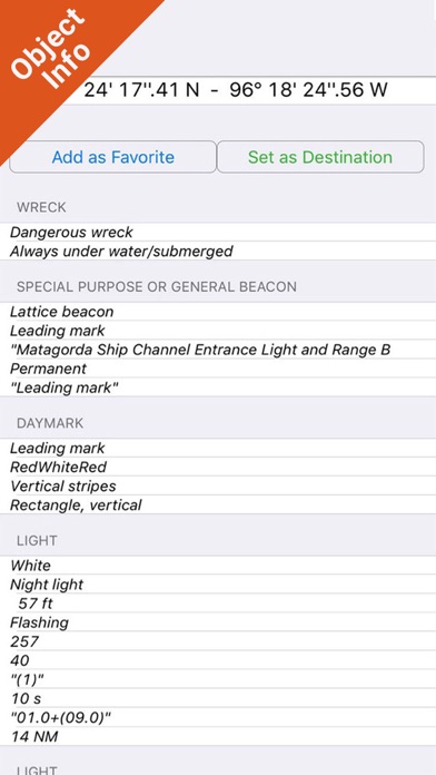
√ Quick Object information just tapping, thanks to vector technology
√ GPS Heading
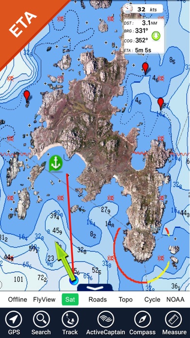
√ Distance Measurement Tool to easily calculate the distance
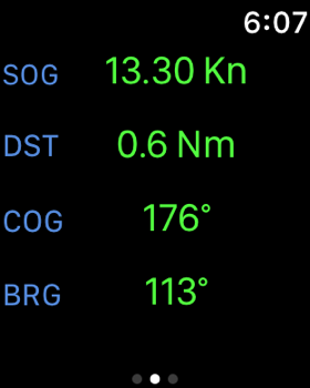
√ Route planning, Waypoints - Insert the destination and see in real time your speed, distance and bearing
√ Magnifying Lens for all info
√ Unlimited Tracks, Markers, Geo-tagged photos, records. Share via email, visible on Google, Flytomap Viewer, KMZ format
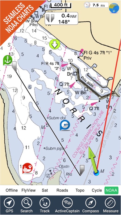
√ Select Depth Contours
√ Menu slider
√ Flytomap works in background as well. You can swap with another app, make calls and send sms while recording a track.
√ Optimized battery usage
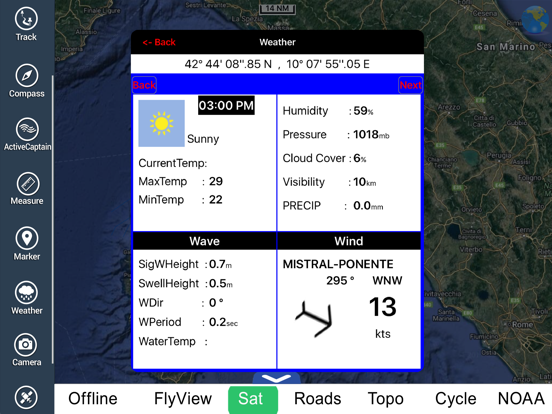
√ Local Marine Weather forecast at a quick tap provide you:
• Day max and min temperature - Current temperature
• Significant wave height, Swell height, Swell period, Swell direction
• Tide data
• Sea temperature
• Wind Speed and direction
• Weather description
• Precipitation & Humidity
• Visibility
• Pressure
• Cloud cover in percentage
• Wind chill/Feels like Temperature
• Water Temperature
• Dew Point Temperature
• Heat Index Temperature
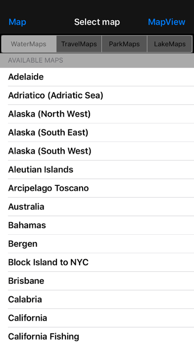
- MARINE MAPS
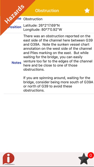
Detailed Electronic Nautical Charts (ENC) which include Coastline, Anchoring areas, Fishing areas, Restricted areas, Obstructions, Rocks, Buoys, Beacons, Lights, Depth contours, Spot Soundings and more.
- LAKE MAPS
High quality lake maps with detailed information and important features: Depth Contours, Boat Ramps, Fishing spots etc. Maps also include Trails, Roads and Railways information.
- PARK MAPS:
Advanced electronic charts containing all kinds of trails (Hiking, Biking, Equestrian trails etc.,) and Points of interests (POI) like Campgrounds, Visitor Centers, Lookout points, Eating places, Ranger Stations, Picnic areas, Boat/Canoe ramps, Parking areas etc..
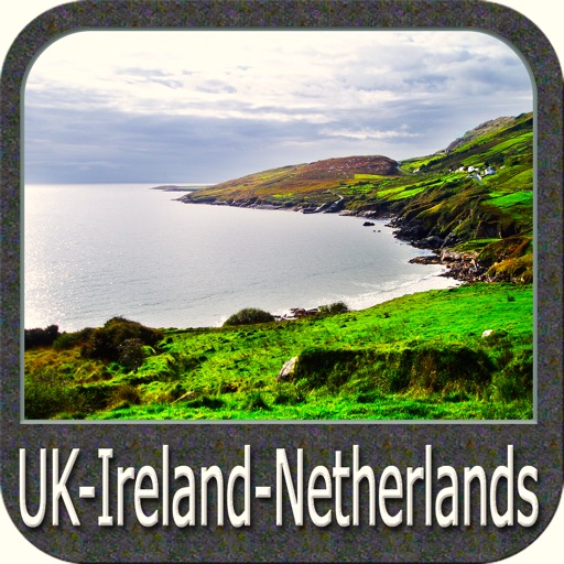
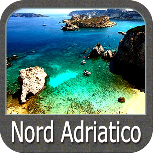
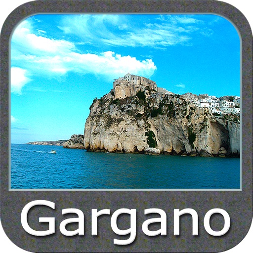
- TRAVEL MAPS
Maps of the most interesting touristic areas that include Sea and Land information to allow you a complete travel experience.
Follow us:
▶ Twitter @flytomap
▶ Web Site flytomap.com
▶ Facebook facebook.com/flytomap
iPhone Screenshots
(click to enlarge)


iPad Screenshots
(click to enlarge)


Apple Watch Screenshots
(click to enlarge)


App Changes
- June 17, 2014 Initial release
- November 24, 2015 Price increase: FREE! -> $1.99
- June 14, 2019 New version 4.9
- June 14, 2019 Price decrease: $1.99 -> FREE!
- June 14, 2019 Price decrease: $1.99 -> FREE!
- June 15, 2019 Price decrease: $1.99 -> FREE!
- June 15, 2019 Price decrease: $1.99 -> FREE!
- June 15, 2019 Price decrease: $1.99 -> FREE!
- June 16, 2019 Price decrease: $1.99 -> FREE!
- June 29, 2019 New version 5.1
- August 17, 2019 New version 5.2
- August 29, 2019 New version 5.2.1
- September 30, 2019 New version 5.2.2
- October 22, 2019 New version 5.2.3
- November 05, 2019 New version 5.2.4
- November 12, 2019 New version 5.2.5
- November 26, 2019 New version 5.2.6
- December 24, 2019 New version 5.2.7
- January 07, 2020 New version 5.2.8
- July 15, 2020 New version 5.4.6
- October 23, 2020 New version 5.5.4
- November 12, 2020 New version 5.5.5
- December 10, 2020 New version 5.5.6
- September 16, 2023 New version 6.3.18
Other Apps From Flytomap