
What's New
Track improvement
Marine Weather algorithm update
App Description
- FlyToMap – “Solutions for your Trip”
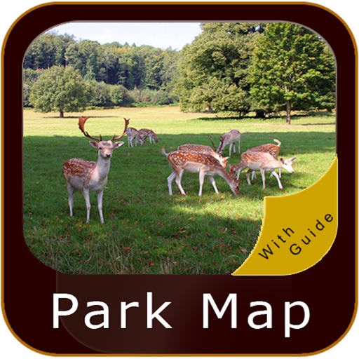
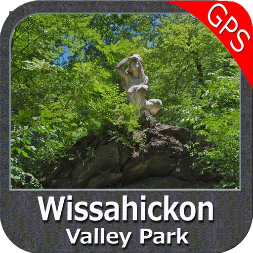
The Wissahickon Valley Park has been a hot spot for over a century and a half. Long before it became a Park, this picturesque ravine inspired and rejuvenated tourists from all over the globe.
Map contains all Trails, Picnic areas, Point of interests, Offline Maps with satellite overly.
User Friendly:
Magnetic Compass
GPS Functionality
Save & Send Tracks
Send by Email your Photos & Favorites
Advanced Search of POI
……………more
“A Guide is provided for Quick reference”
“Offline maps help you view & utilize all the functionalities when out of coverage”
! Enjoy happy voyage!
Note:
"Continued use of GPS running in the background can dramatically decrease battery life."
"Turn off GPS when not in use"
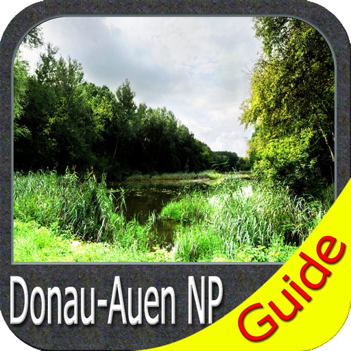
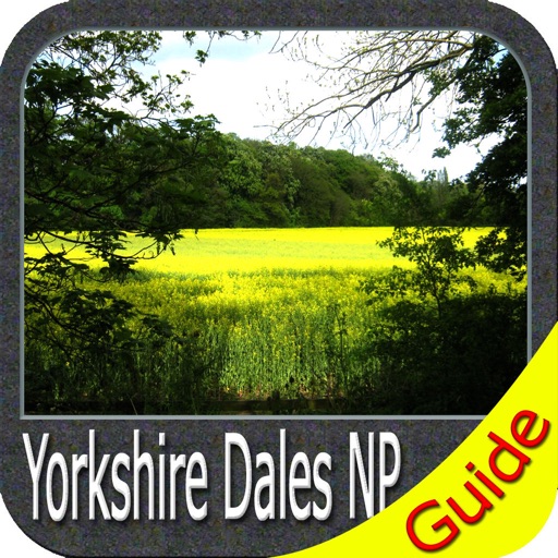
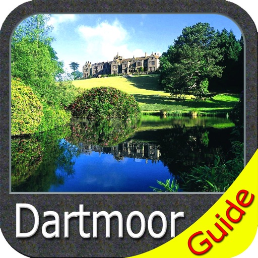
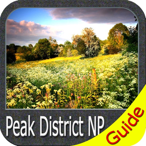
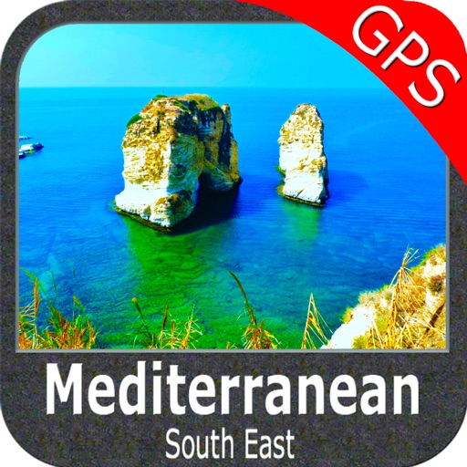
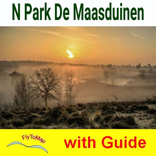
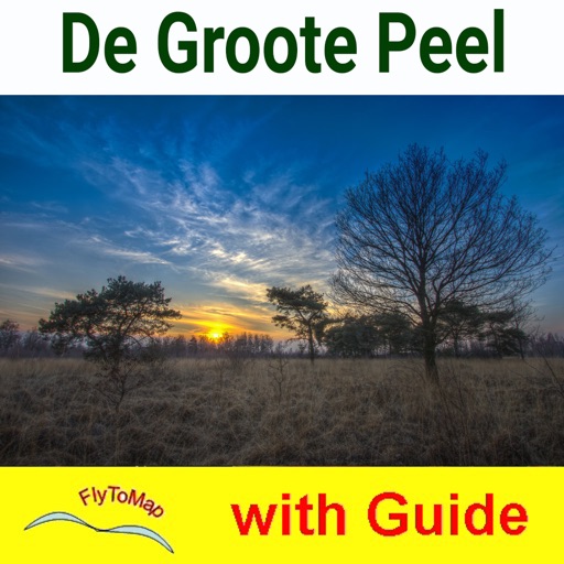
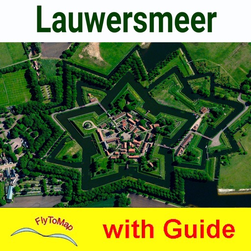
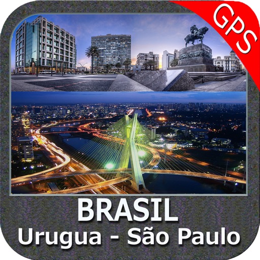
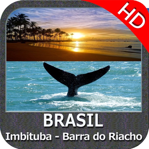
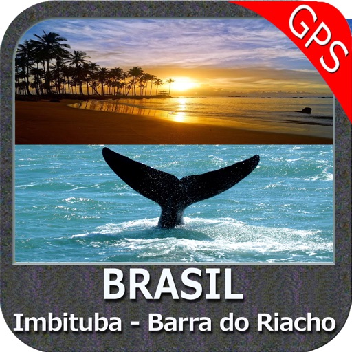
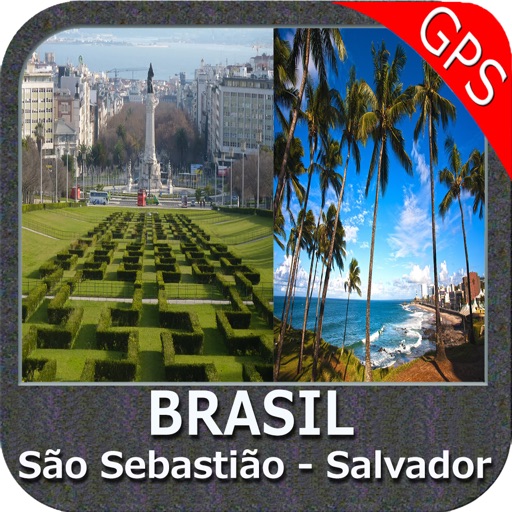
iPhone Screenshots
(click to enlarge)


App Changes
- August 27, 2011 New version 3.1
- February 18, 2012 New version 3.3
- September 14, 2012 Price increase: $2.99 -> $5.99
- July 05, 2016 New version 4.7
- June 13, 2019 New version 5.5
- June 13, 2019 Price decrease: $5.99 -> $4.99
- June 14, 2019 Price decrease: $5.99 -> $4.99
- June 14, 2019 Price decrease: $5.99 -> $4.99
- June 15, 2019 Price decrease: $5.99 -> $4.99
- June 15, 2019 Price decrease: $5.99 -> $4.99
- June 15, 2019 Price decrease: $5.99 -> $4.99
- June 16, 2019 Price decrease: $5.99 -> $4.99
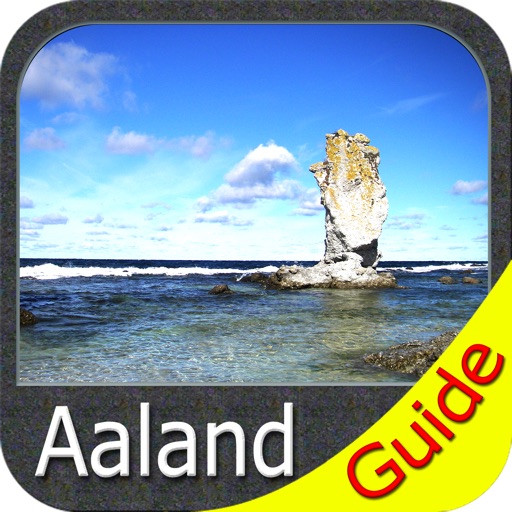
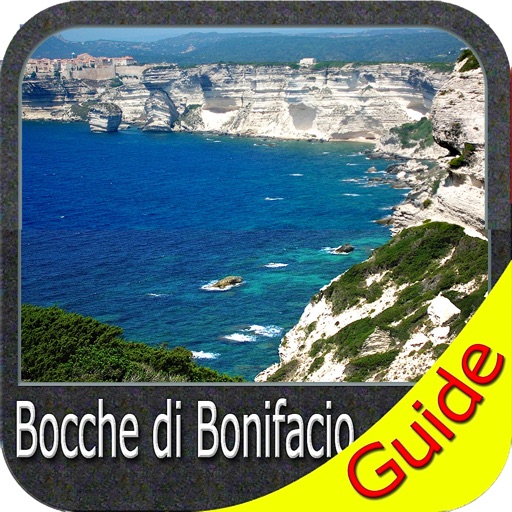
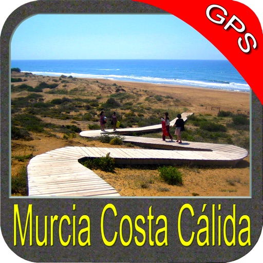
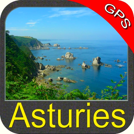
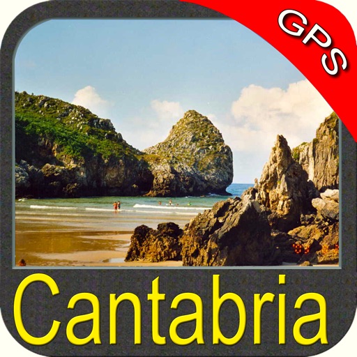
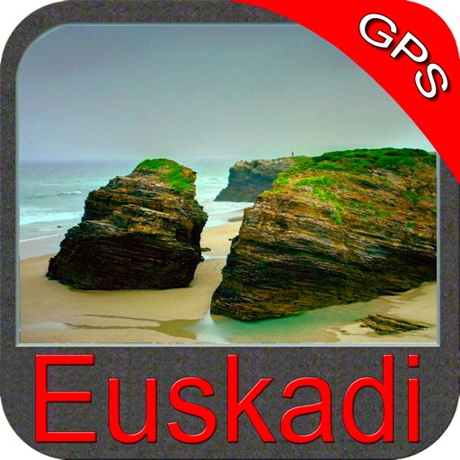
Other Apps From Flytomap