
What's New
Track improvement
Marine Weather algorithm update
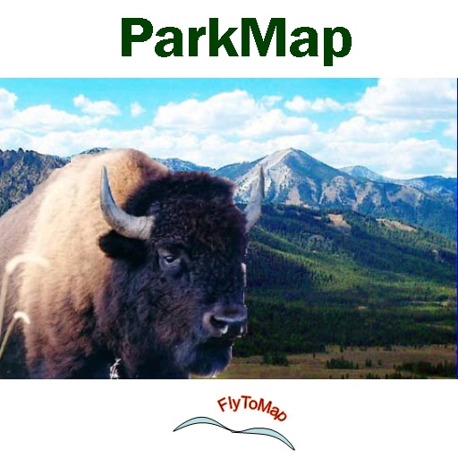
App Description
FlyTMap – “Solutions for your journey”
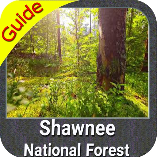
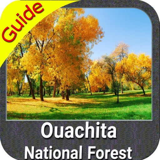
Park Map Contains:
Guide
Interactive Offline Map
Trails
POI (Points of Interest)
Satellite Overlay
GPS Technology
Compass
Photo Management
Track-(Save & Email)
Insert Unlimited Favorites
Search places using Co-ordinates
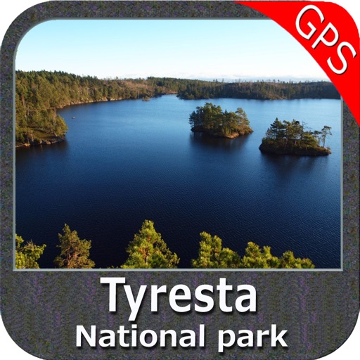
Tyresta National Park map is extremely advanced app which contains embedded electronic charts with all info collected from the National Park Service and local sources. The maps contain all multiple trails (Hiking, biking, Stairway trails, Bicycle trails, Equestrian trails etc.,) and Point of interests (POI) like Campgrounds, Eating places, Ranger Stations, Picnic areas, Boat/Canoe launching, Parking areas etc.,
NOTE:
"Continued use of GPS running in the background can dramatically decrease battery life."
“Enjoy Sweet Journeys”
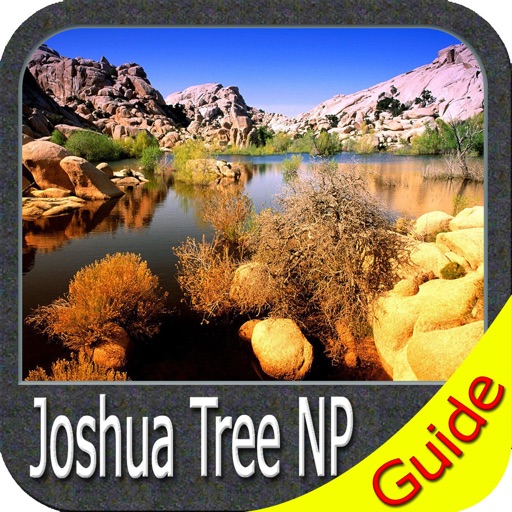
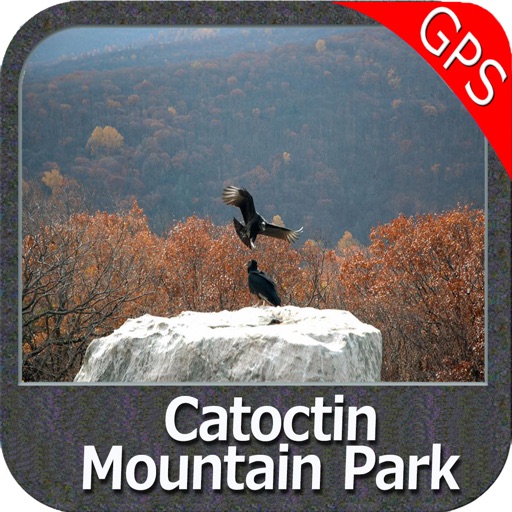
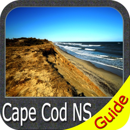
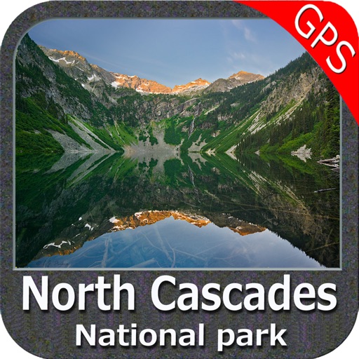
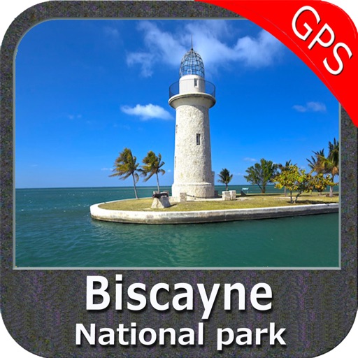
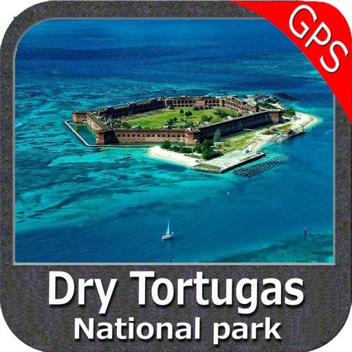
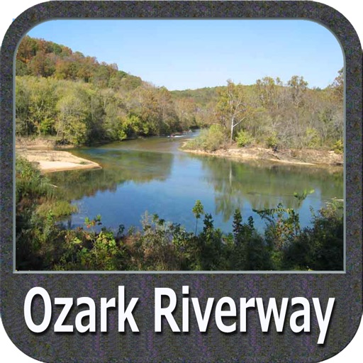
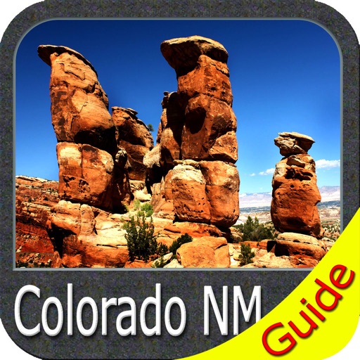
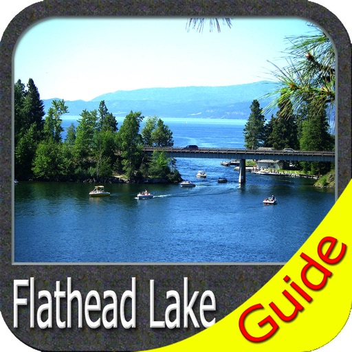
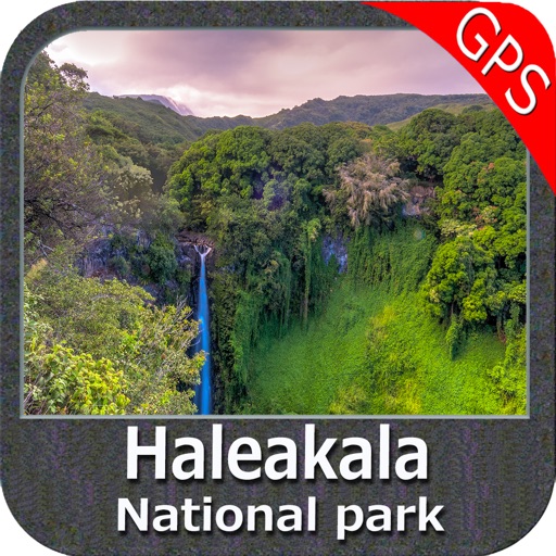
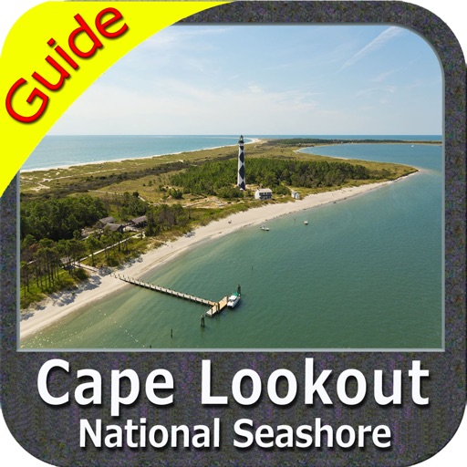
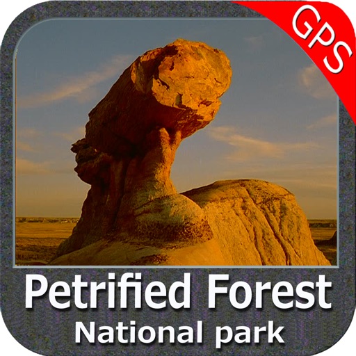
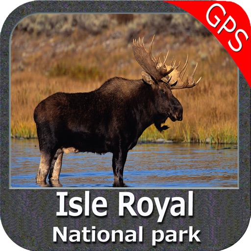
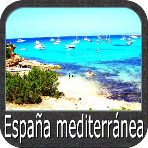
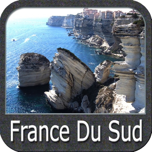
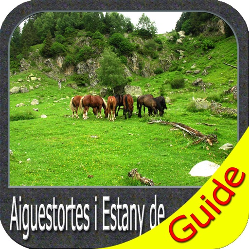
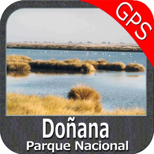
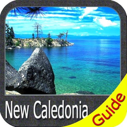
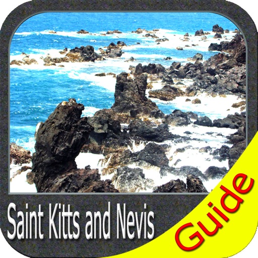
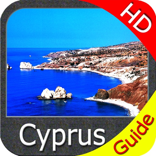
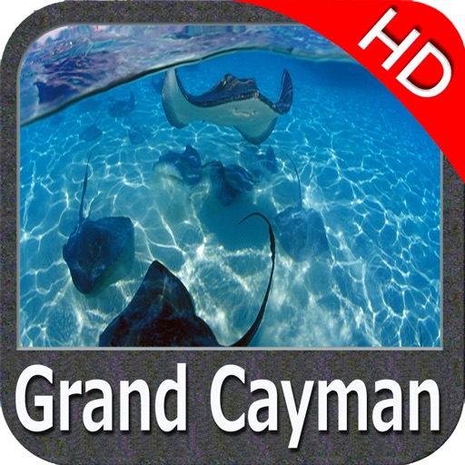
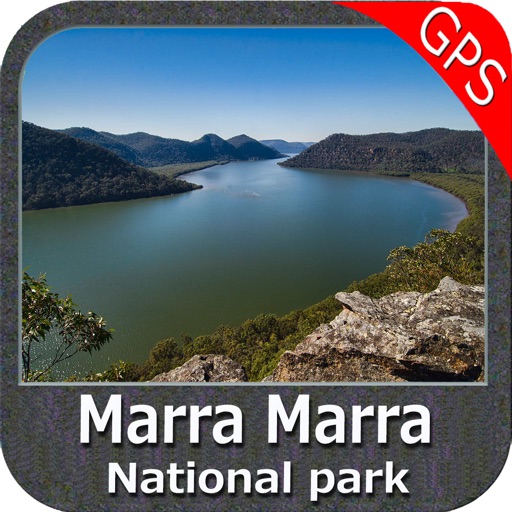
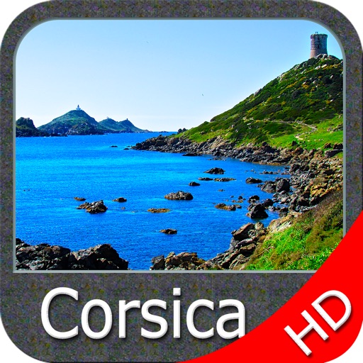
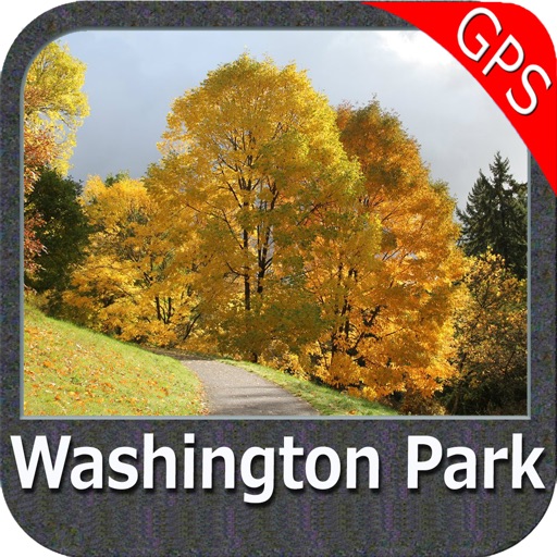
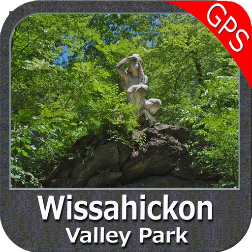
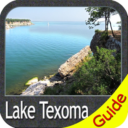
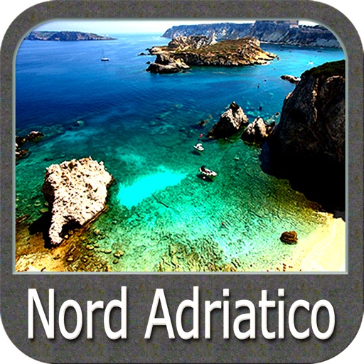
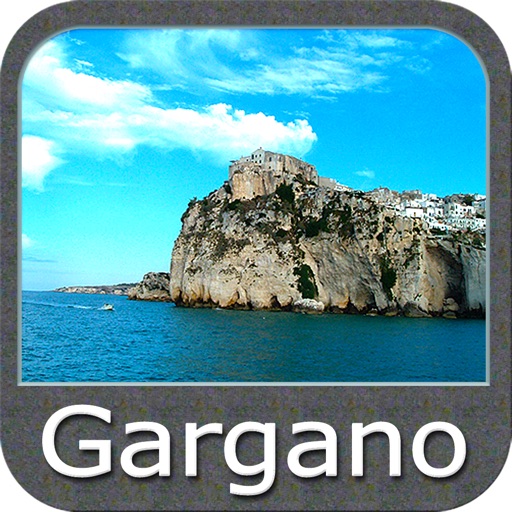
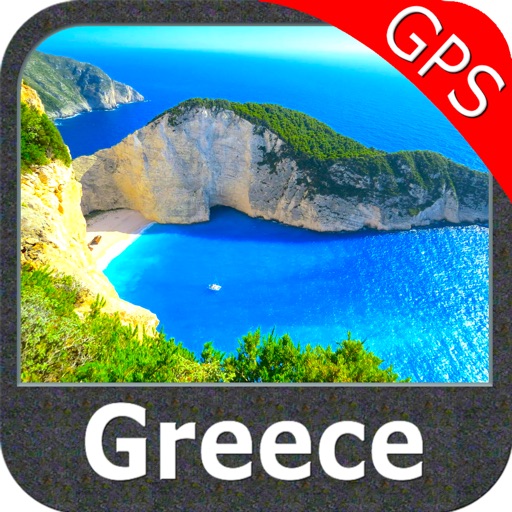
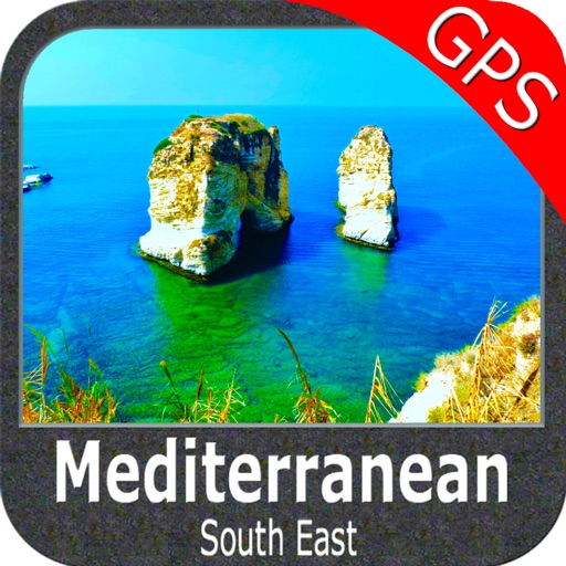
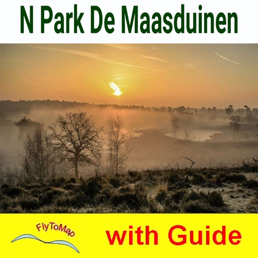
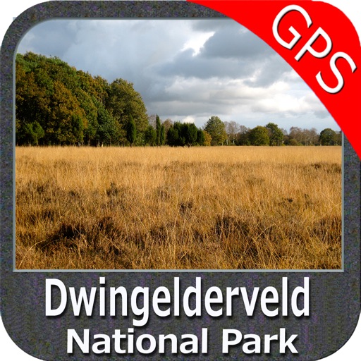
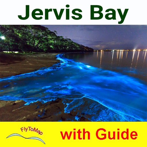
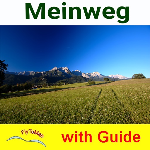
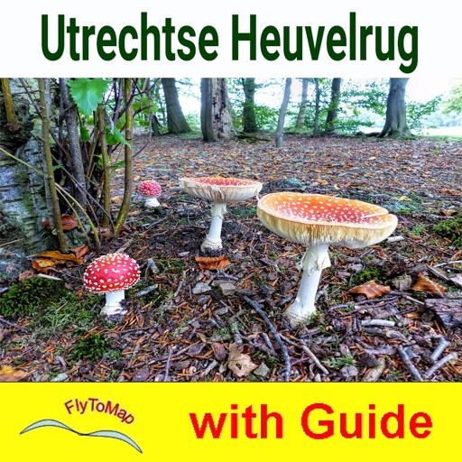
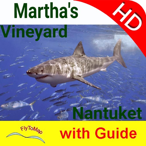
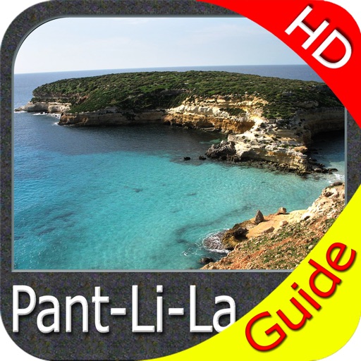
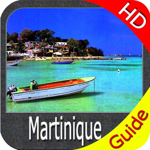
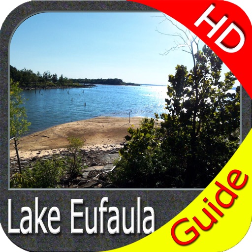
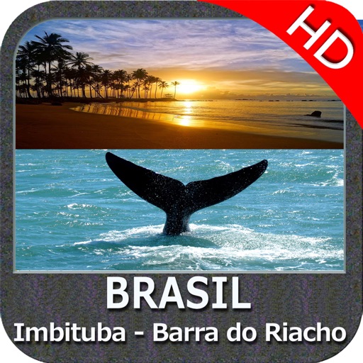
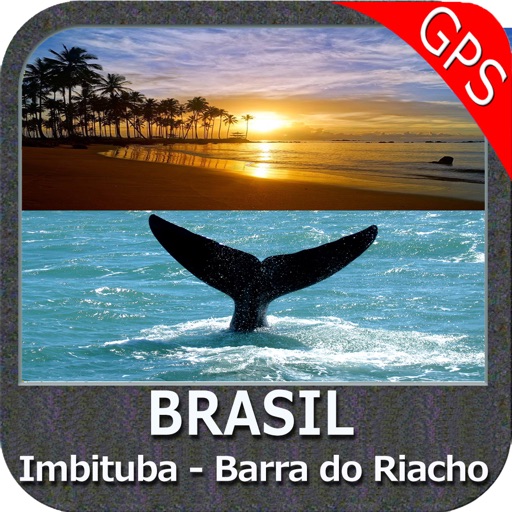
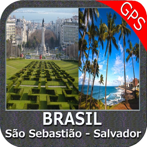
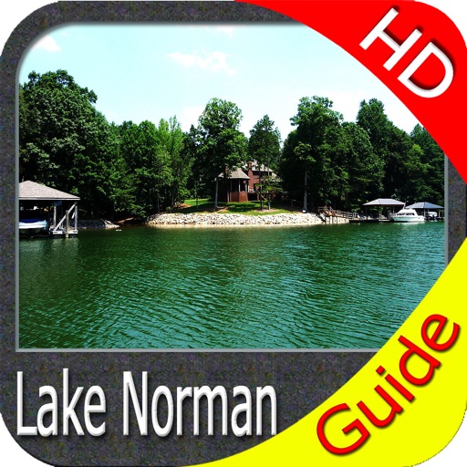
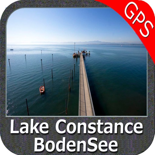
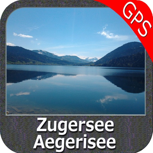
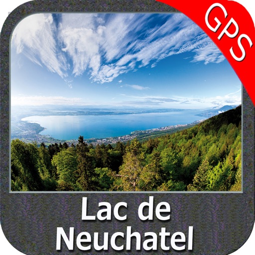
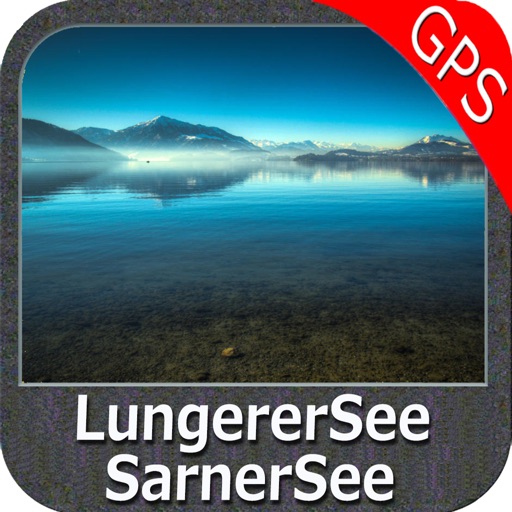
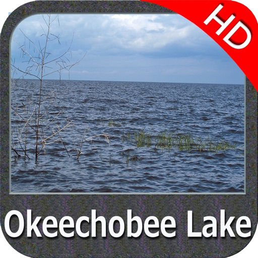
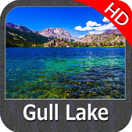
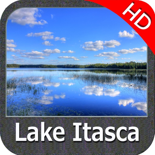
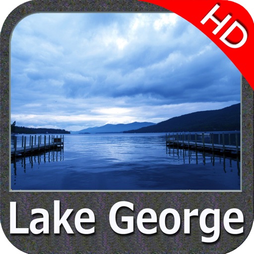
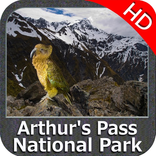
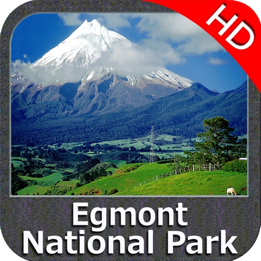
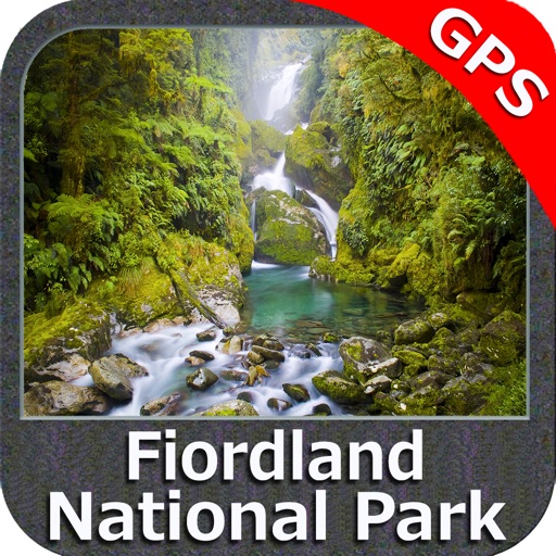
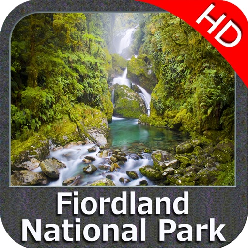
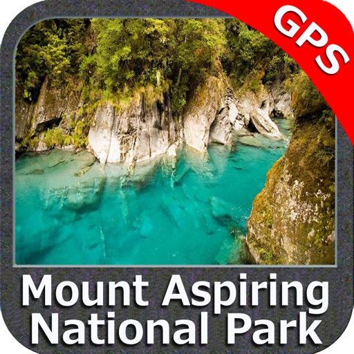
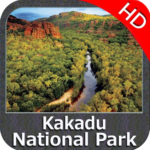
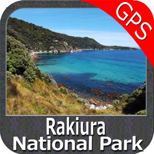
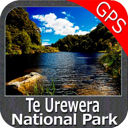
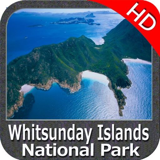
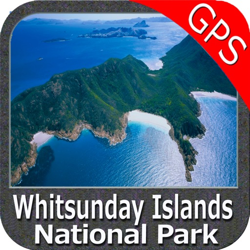
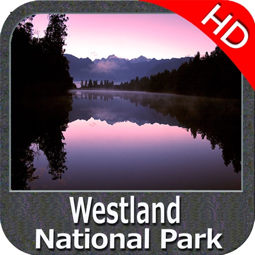
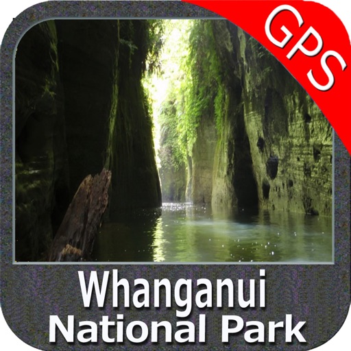
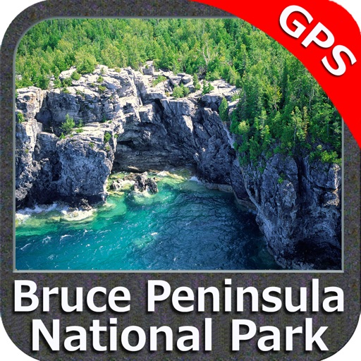
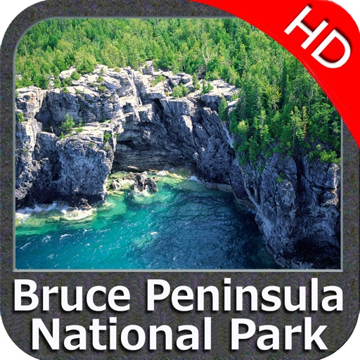
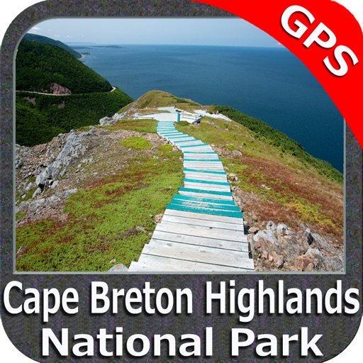
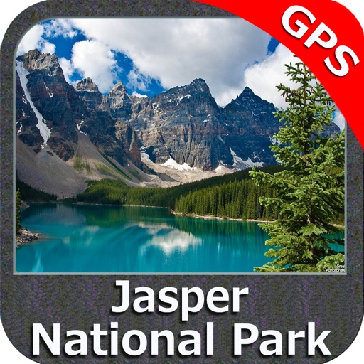
iPhone Screenshots
(click to enlarge)


App Changes
- August 23, 2011 New version 3.1
- September 14, 2012 Price increase: $2.99 -> $5.99
- June 23, 2016 New version 4.7
- June 13, 2019 New version 5.5
- June 13, 2019 Price decrease: $5.99 -> $4.99
- June 13, 2019 Price decrease: $5.99 -> $4.99
- June 14, 2019 Price decrease: $5.99 -> $4.99
- June 14, 2019 Price decrease: $5.99 -> $4.99
- June 15, 2019 Price decrease: $5.99 -> $4.99
- June 15, 2019 Price decrease: $5.99 -> $4.99
- June 16, 2019 Price decrease: $5.99 -> $4.99
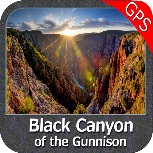
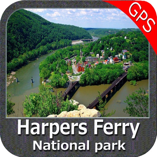
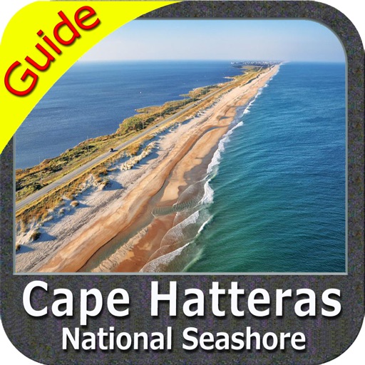
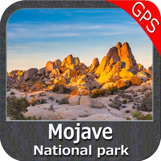
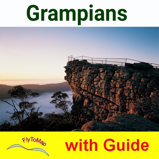
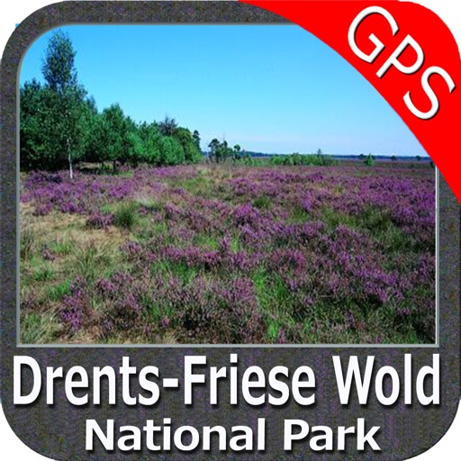
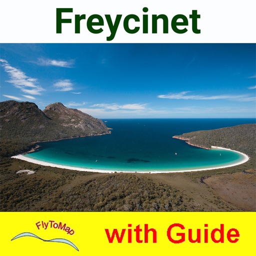
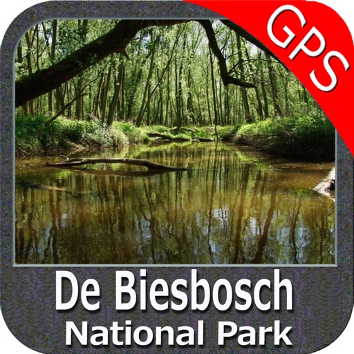
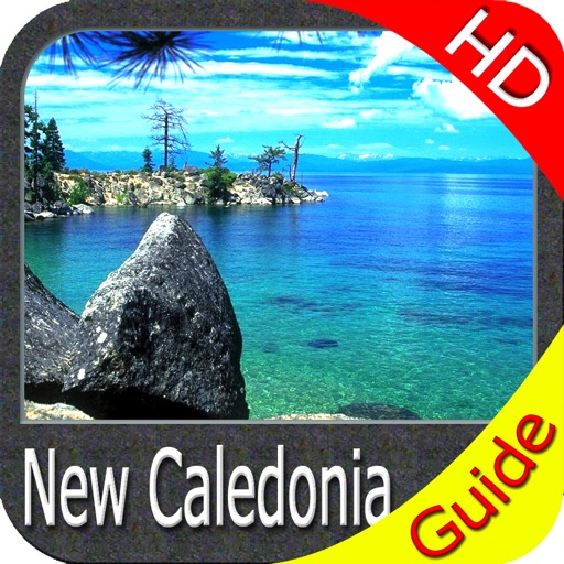
Other Apps From Flytomap