
What's New
Track improvement
Marine Weather algorithm update
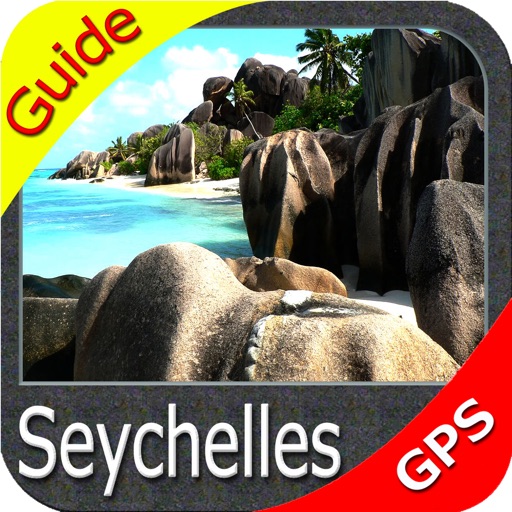
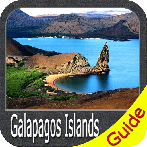
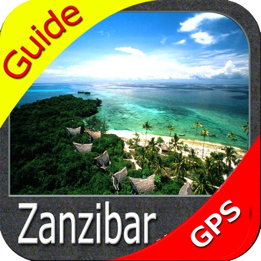
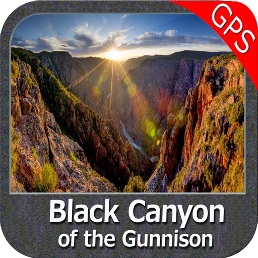
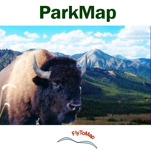
App Description
FlyToMap – “Solutions for your Voyage”
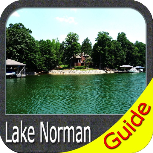
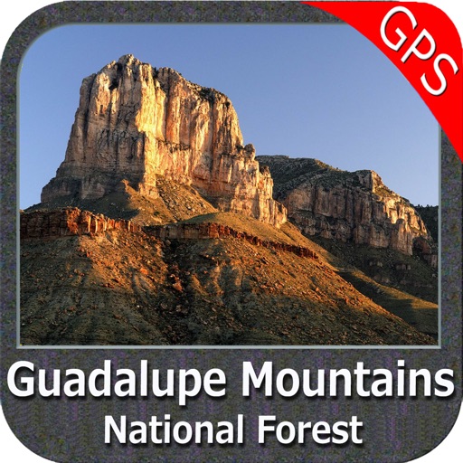
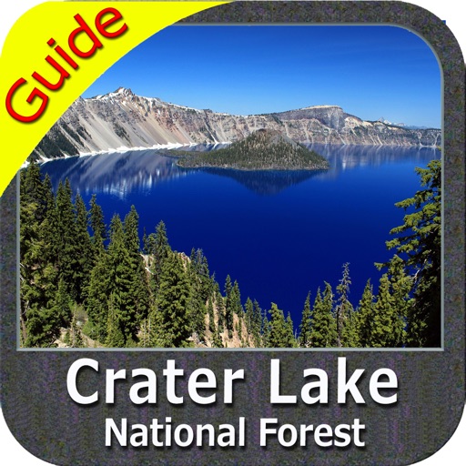
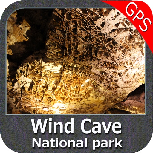
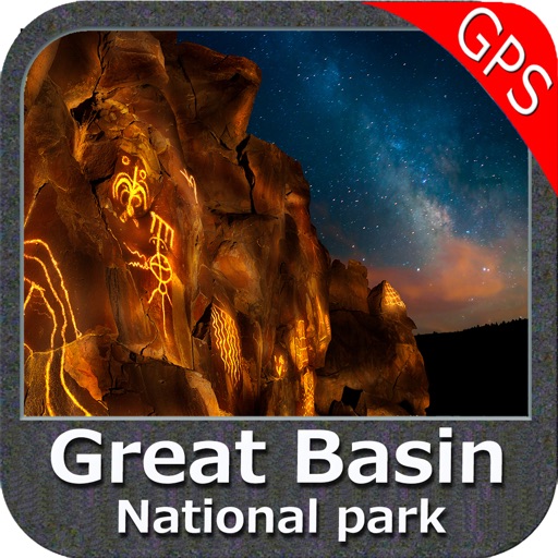
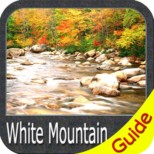
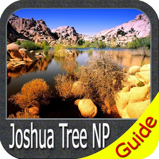
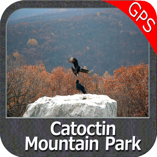
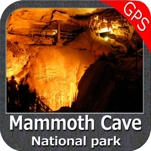
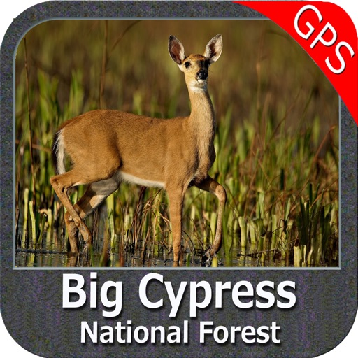
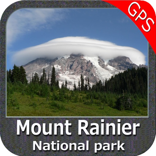
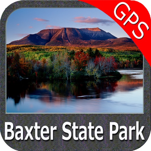
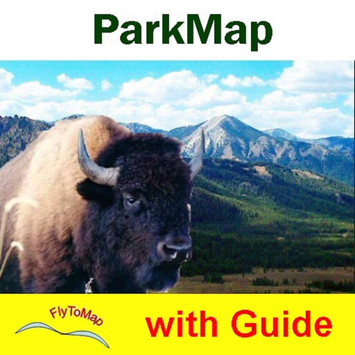
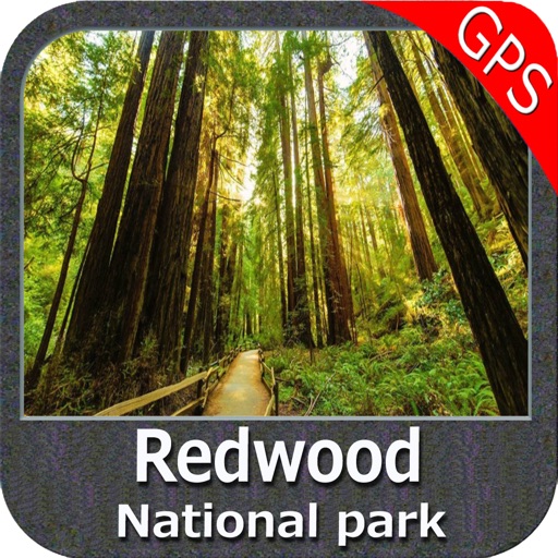
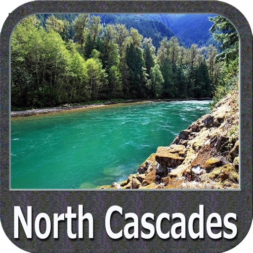
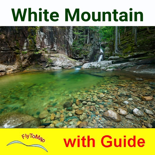
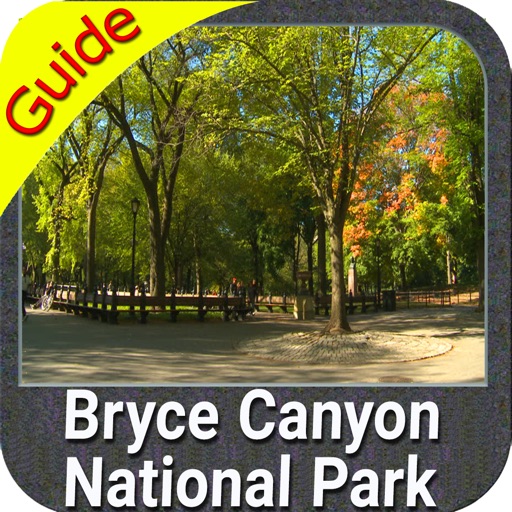
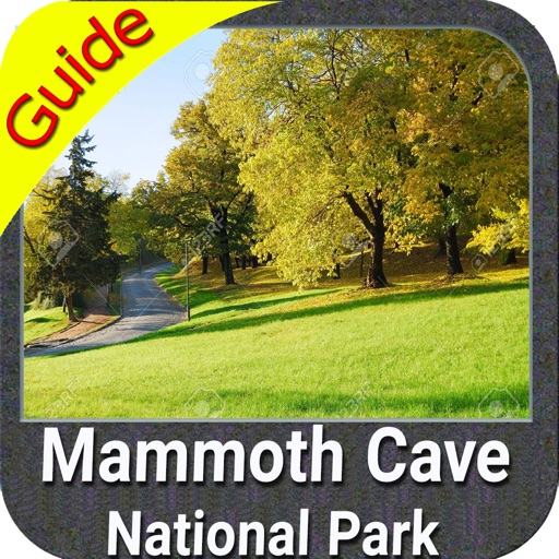
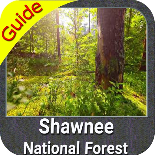
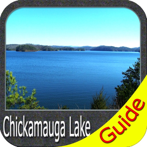
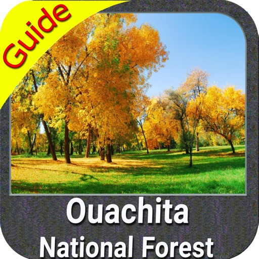
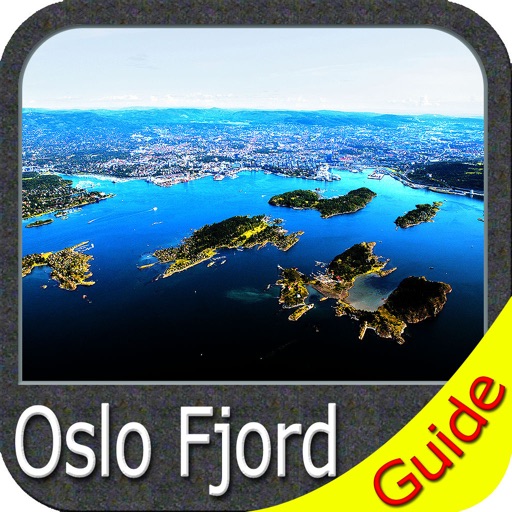
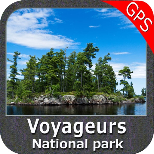
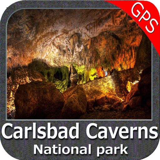
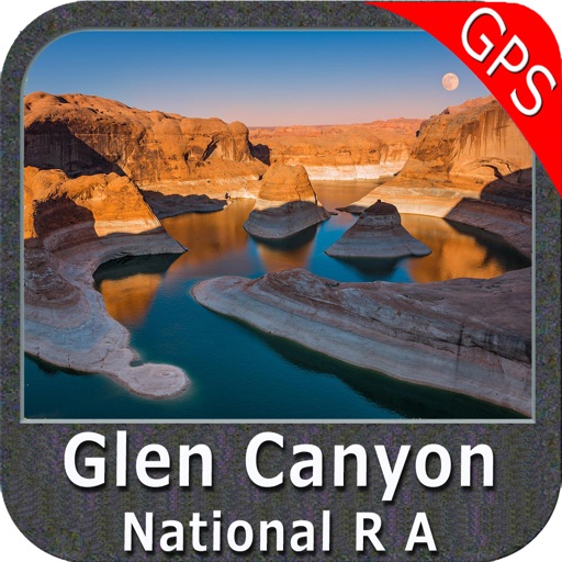
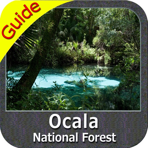
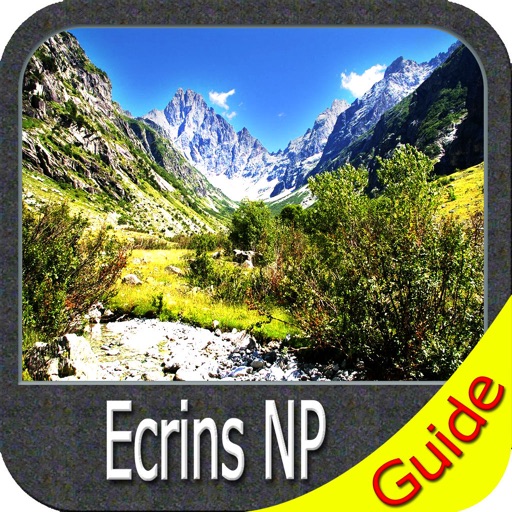
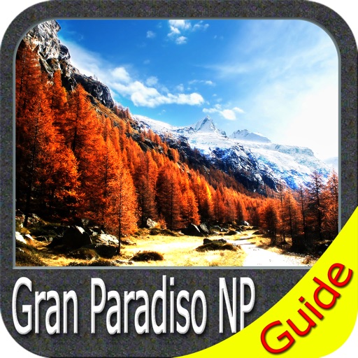
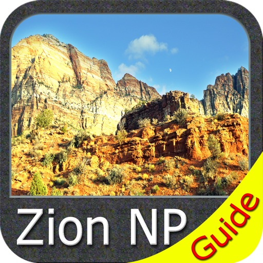
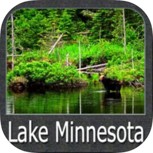
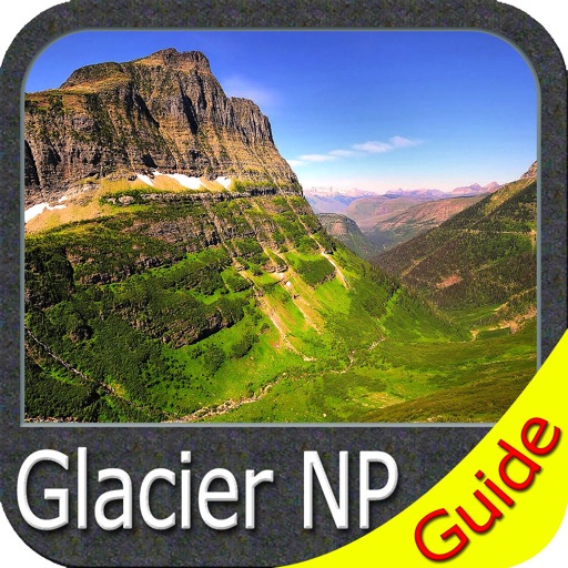
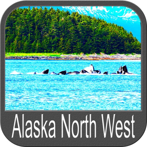
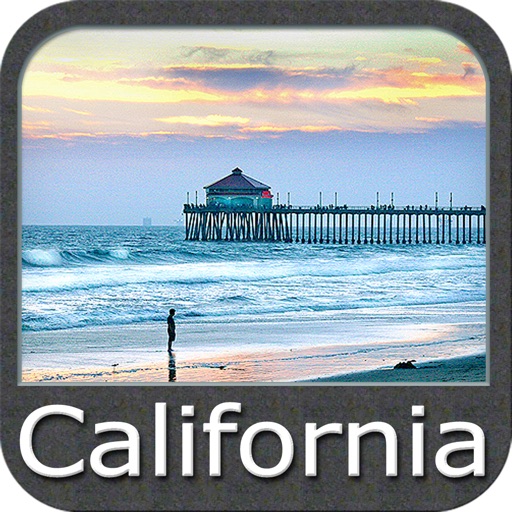
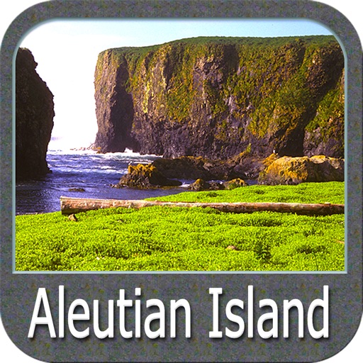
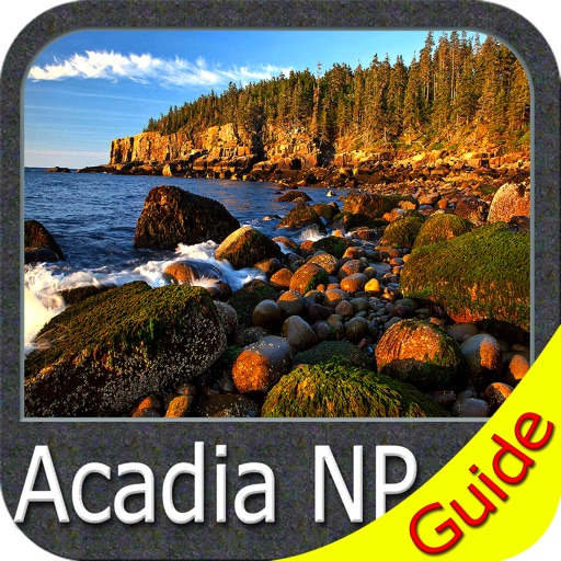
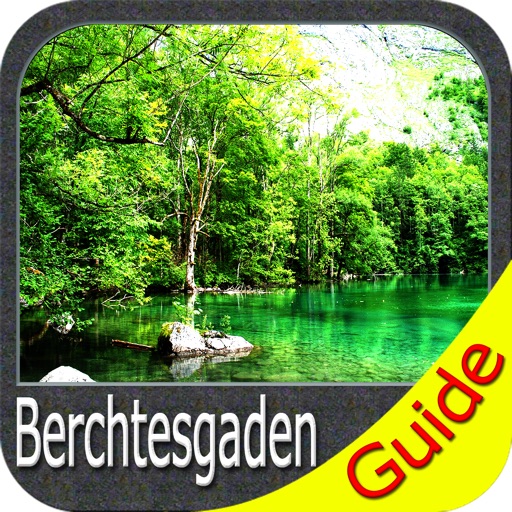
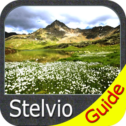
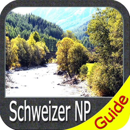
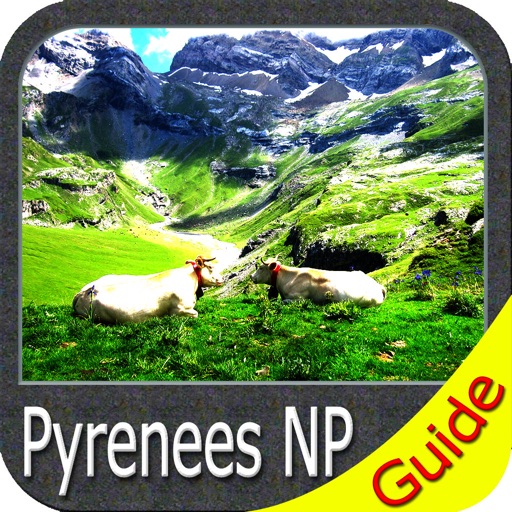
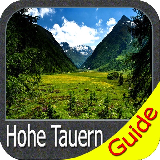
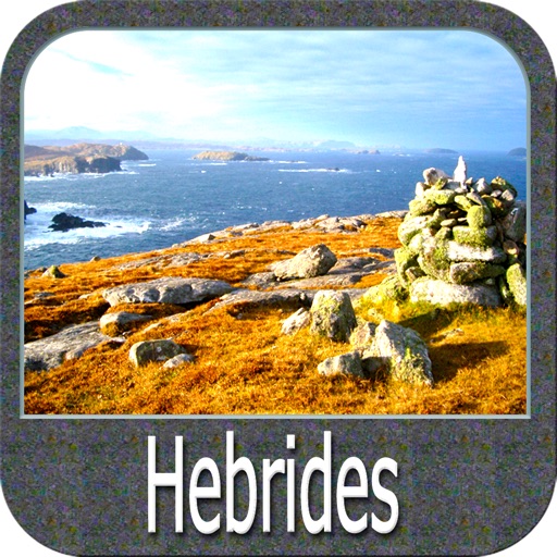
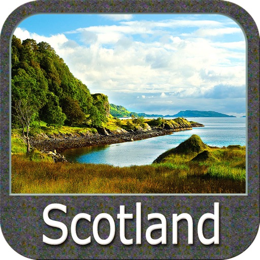
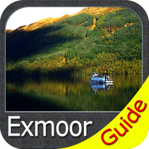
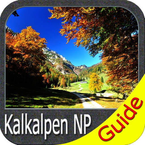
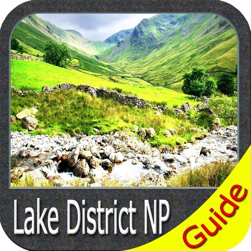
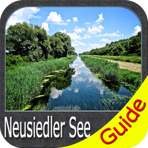
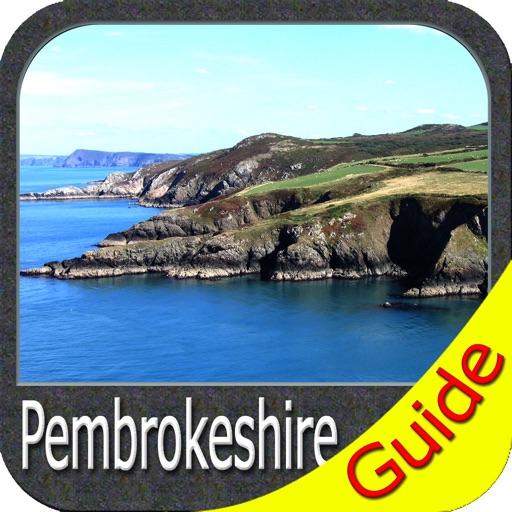
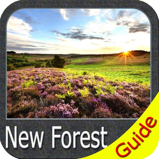
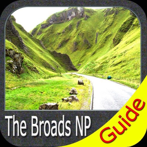
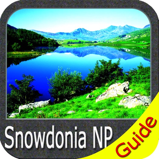
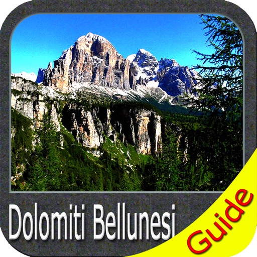
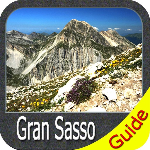
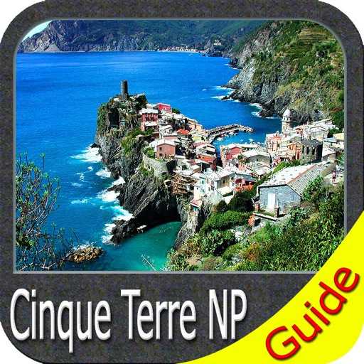
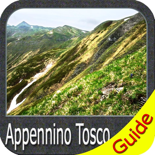
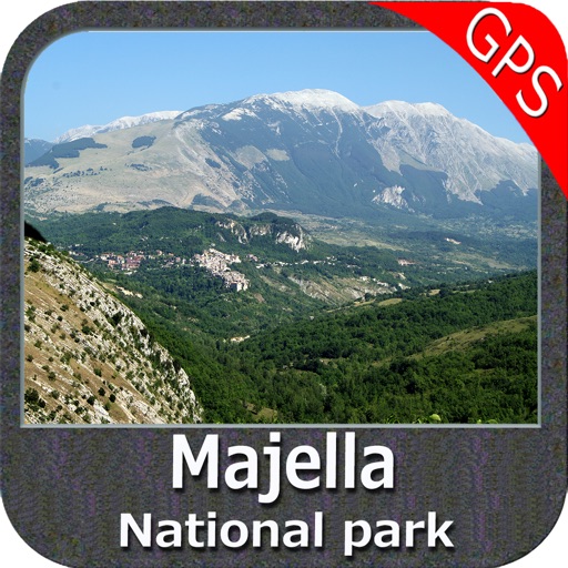
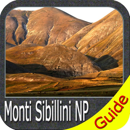
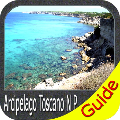
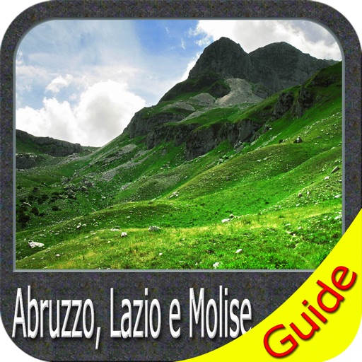
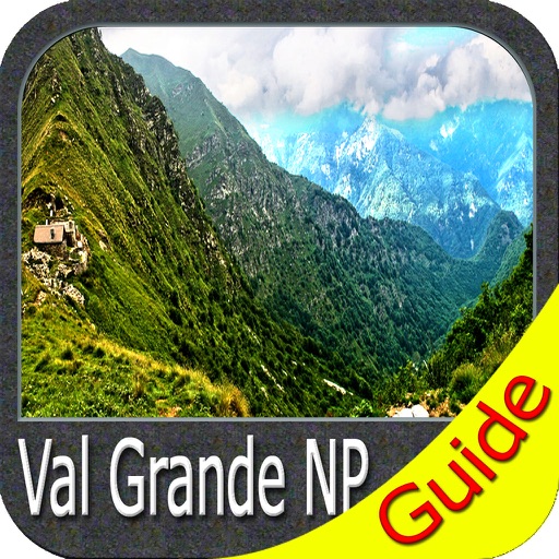
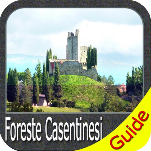
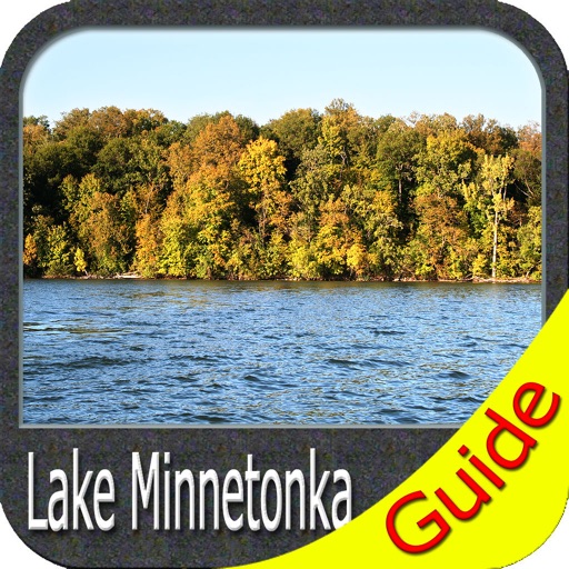
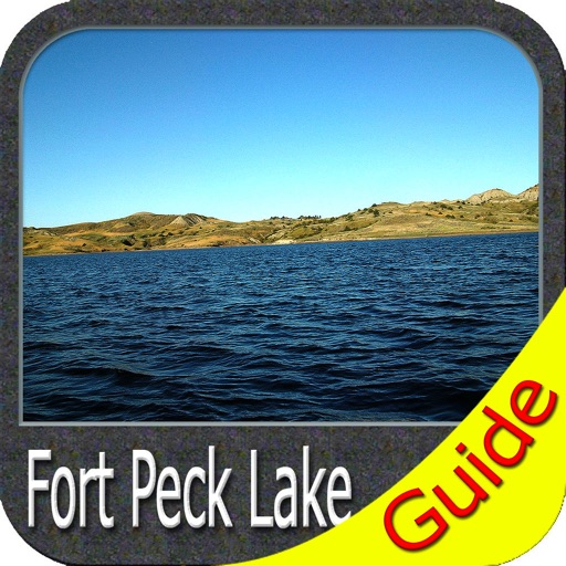
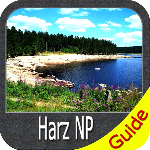
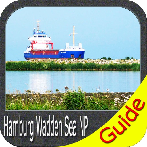
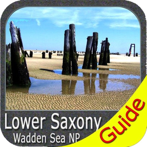
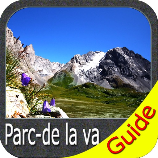
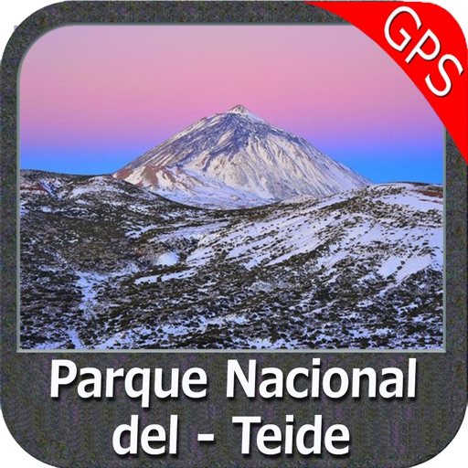
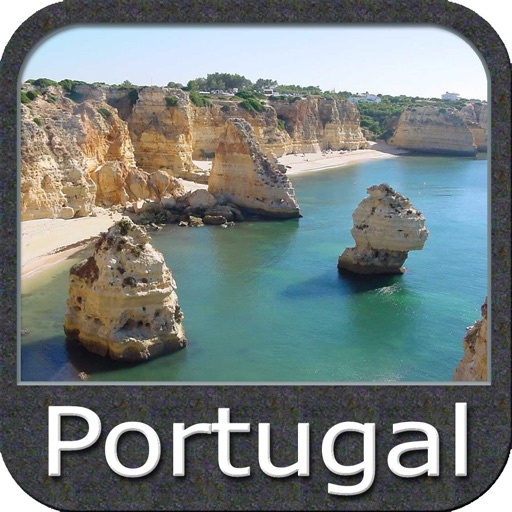
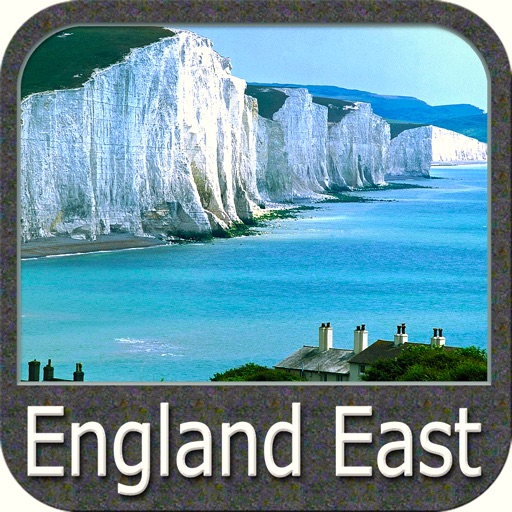
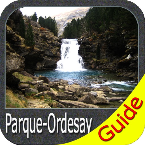
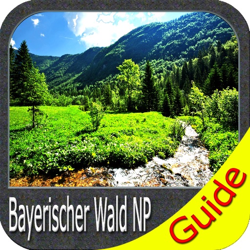
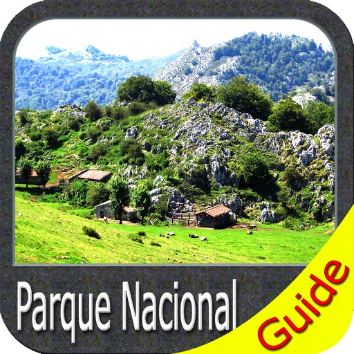
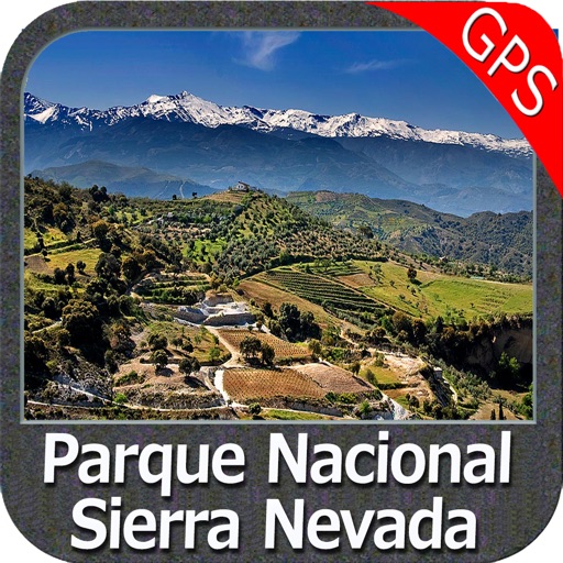
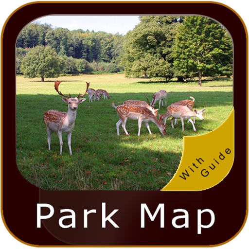
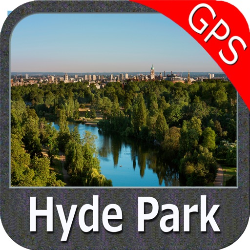
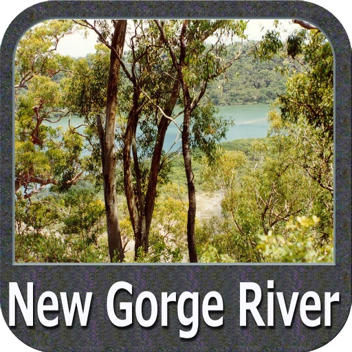
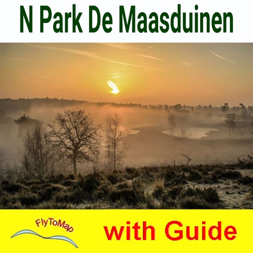
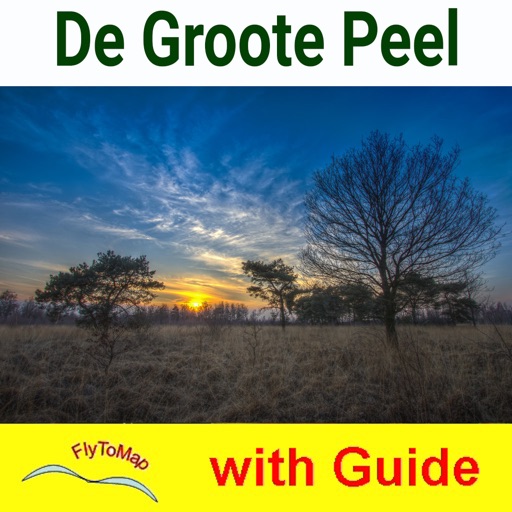
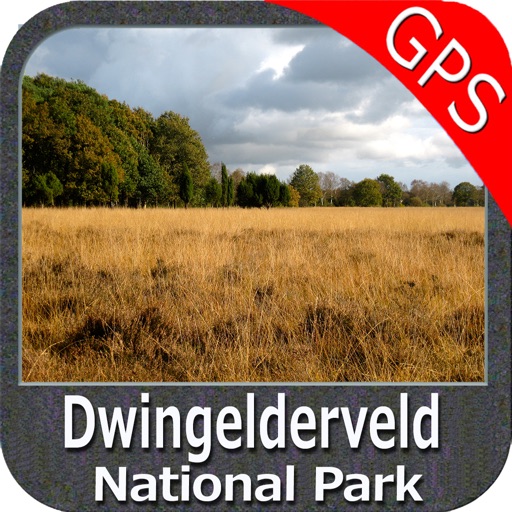
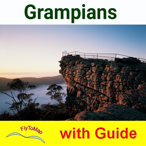
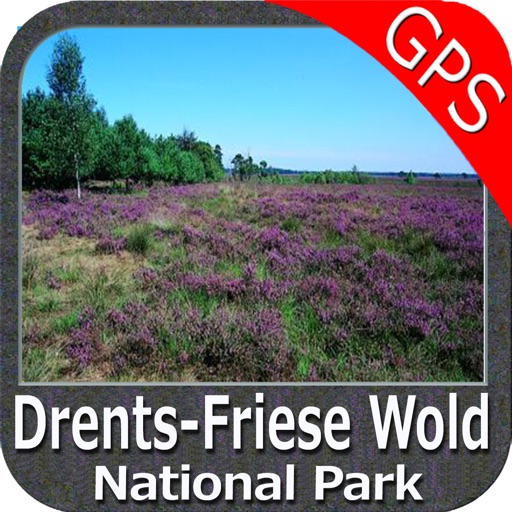
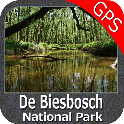
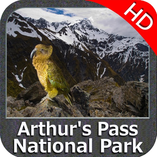
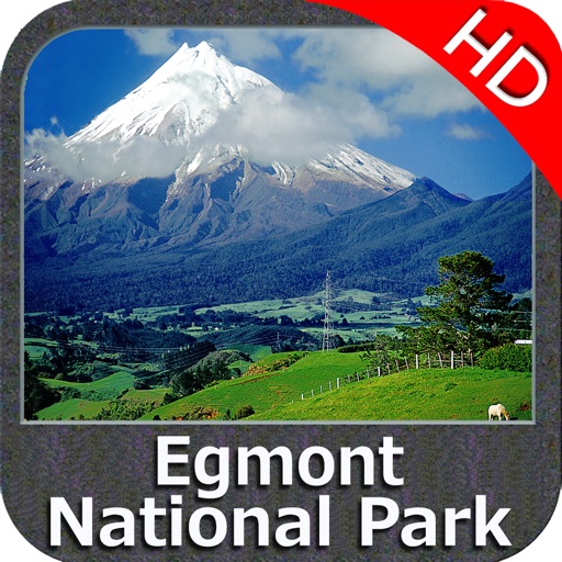
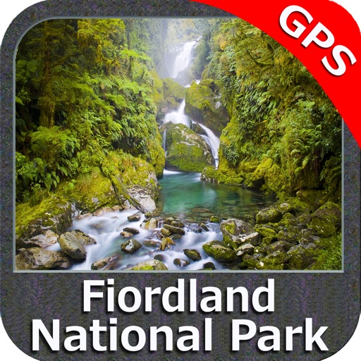
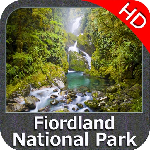
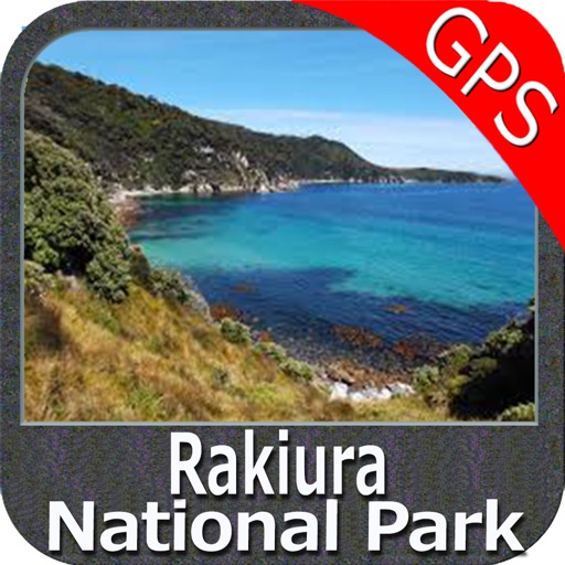
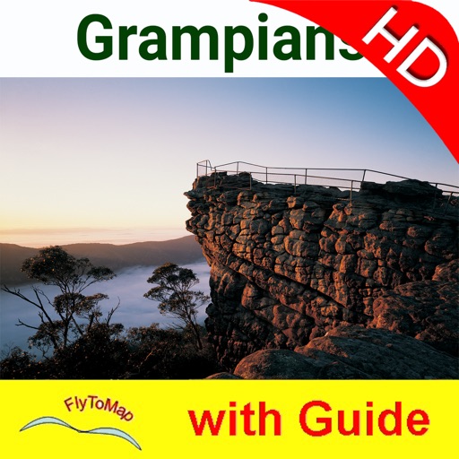
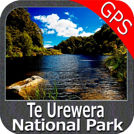
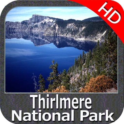
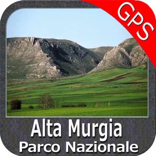
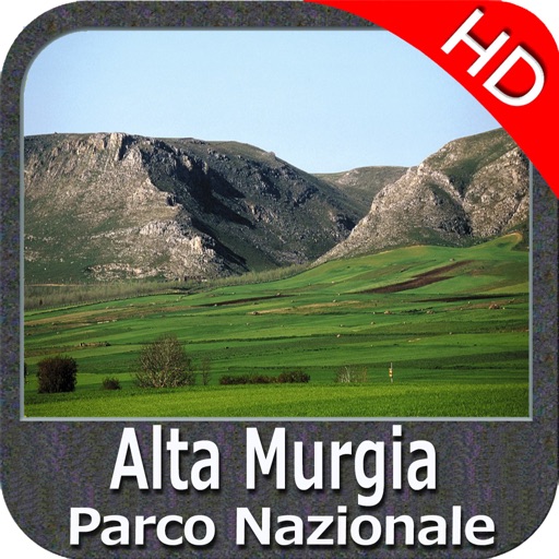
Park Map contains extremely advanced embedded electronic charts in offline with all information collected from the National Park Service and local sources. The map contains all multiple trails (Hiking, Biking…) and point of interests like Campgrounds, Picnic grounds, mountain summits, Road & Rail information from tiger etc.
Map Features:
•Travel Guide
•Search Favorites using Latitudes/Longitudes
•Insert Destination Waypoint and track Distance, Speed & Direction
•Gps (also in low signal conditions)
•Advanced Photo Managing
•Track Routes & Email them & more…
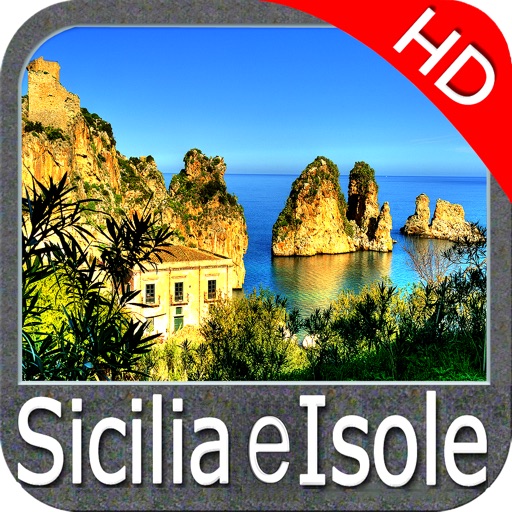
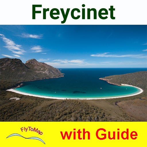
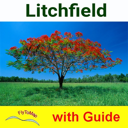
FlyToMap provides rich maps for all parks and recreational regions in US & Other major parts of the World.
! Enjoy Great Voyages!
Note:
"Continued use of GPS running in the background can dramatically decrease battery life."
"Turn off GPS when not in use"
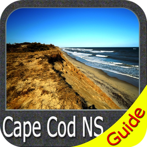
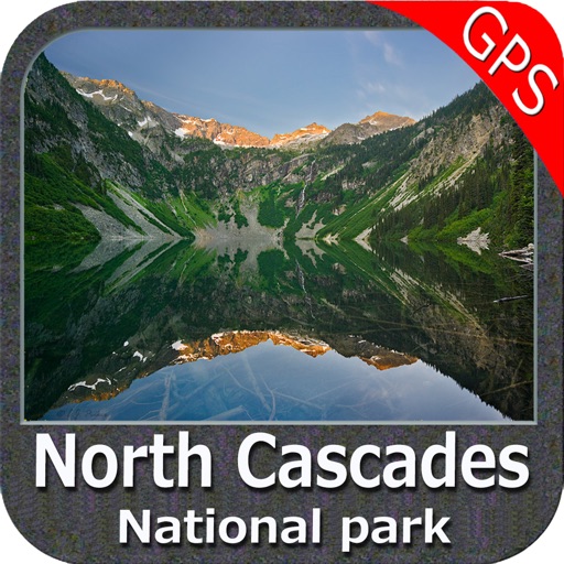
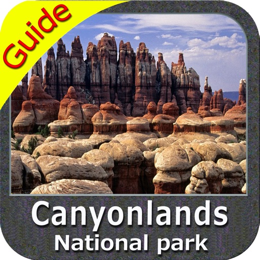
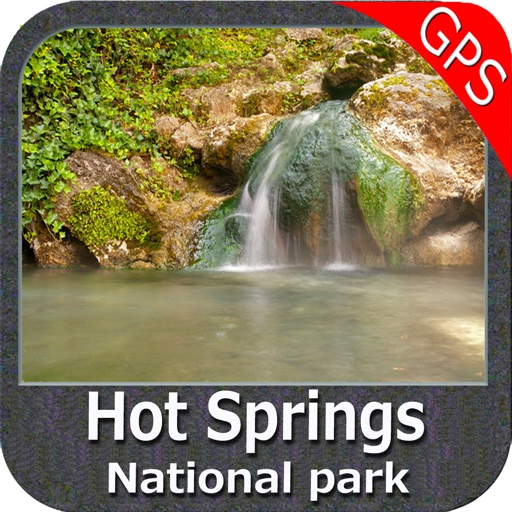
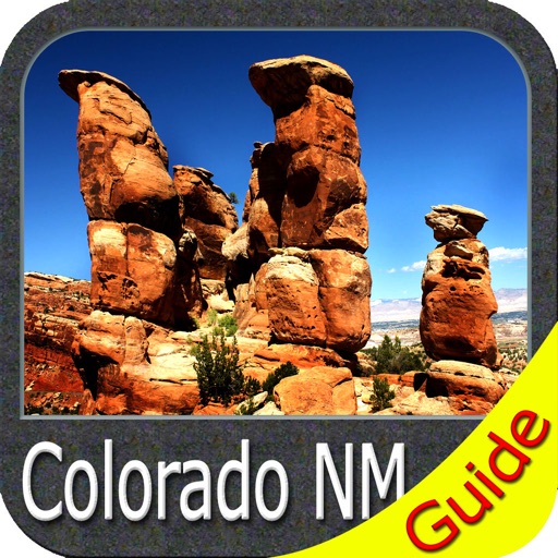
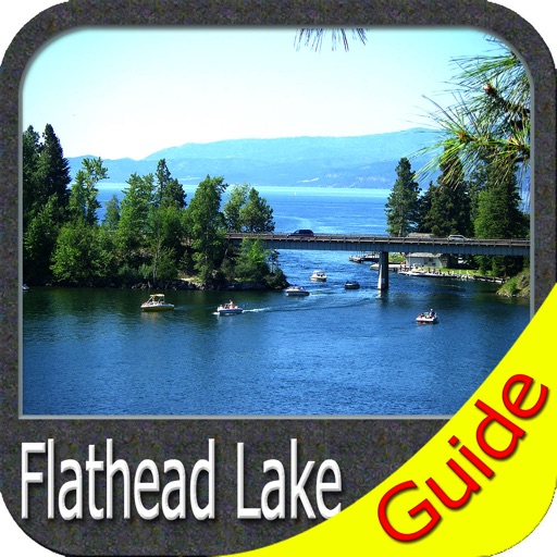
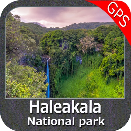
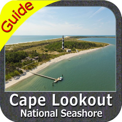
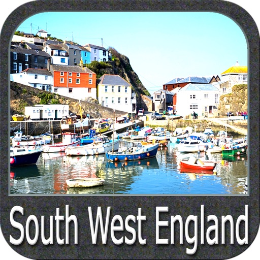
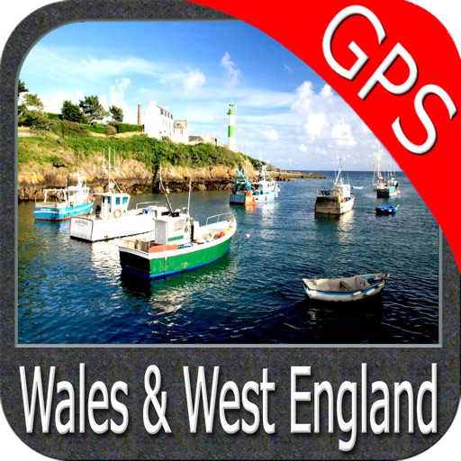
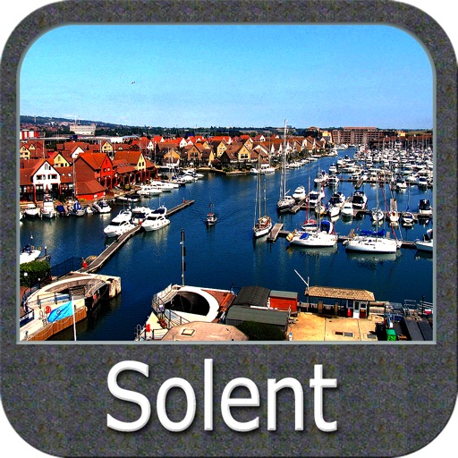
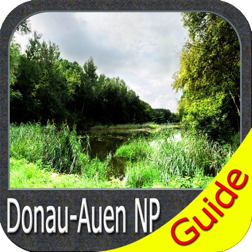
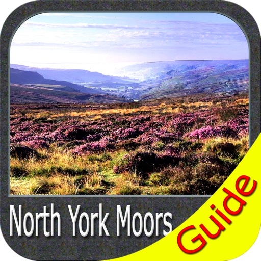
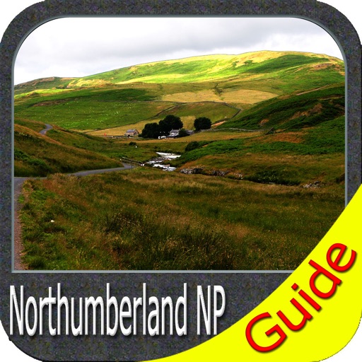
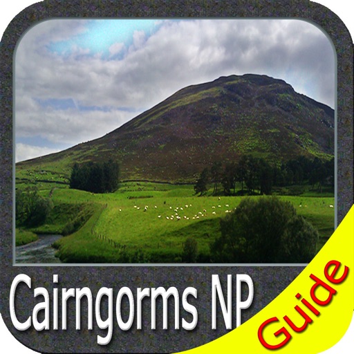
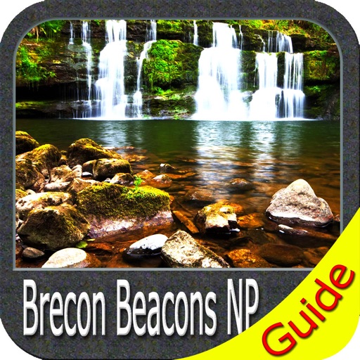
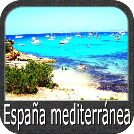
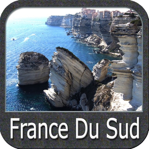
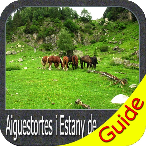
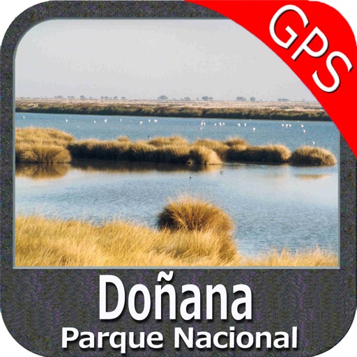
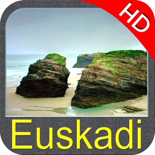
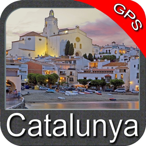
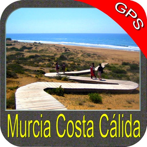
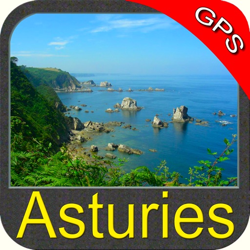
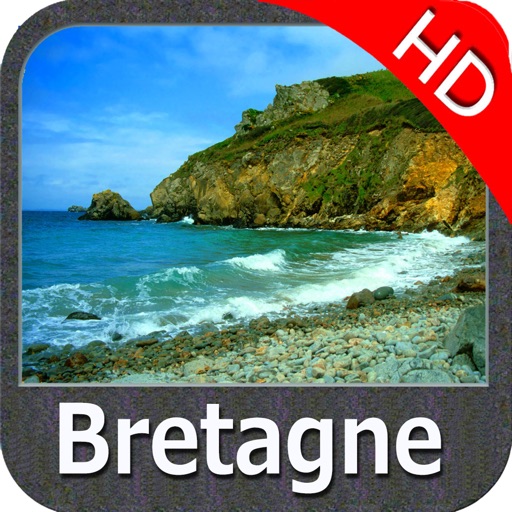
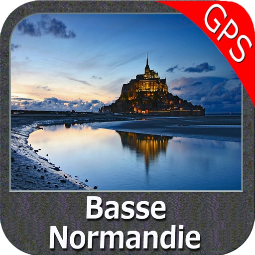
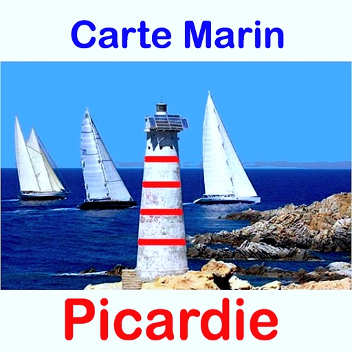
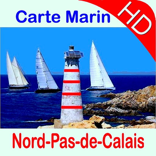
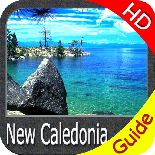
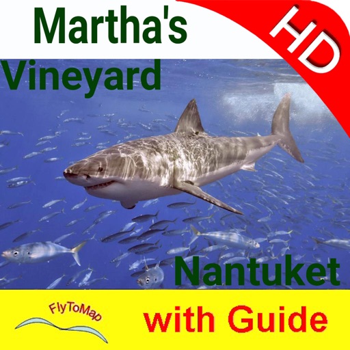
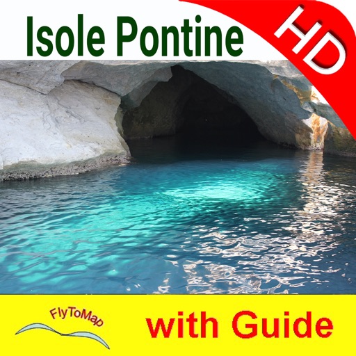
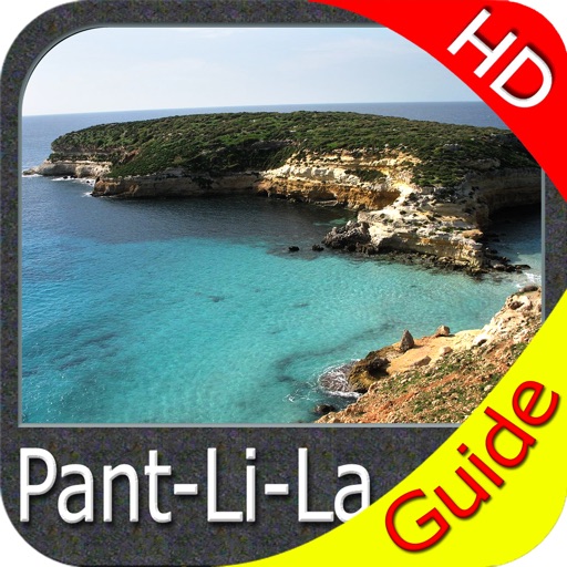
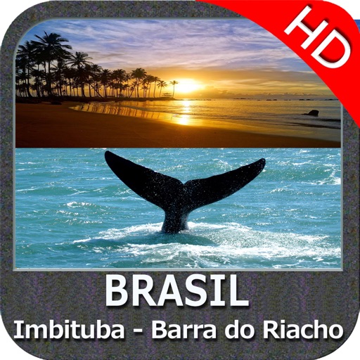
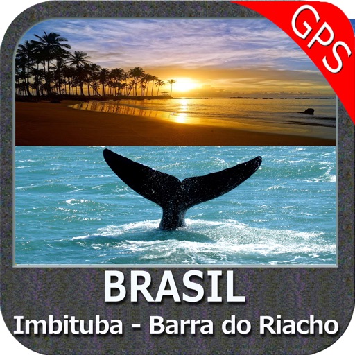
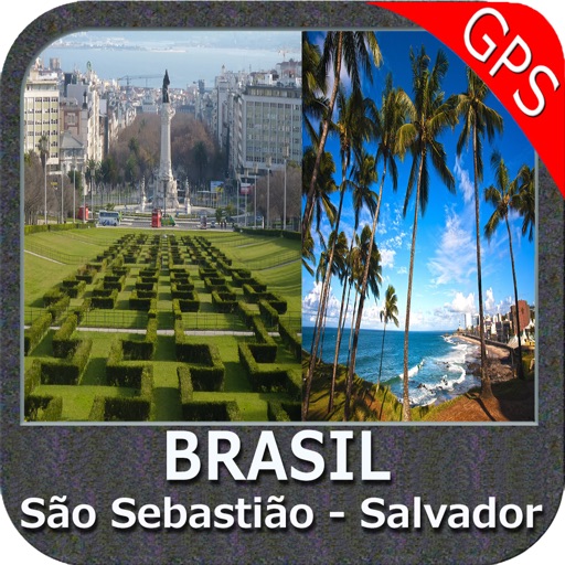
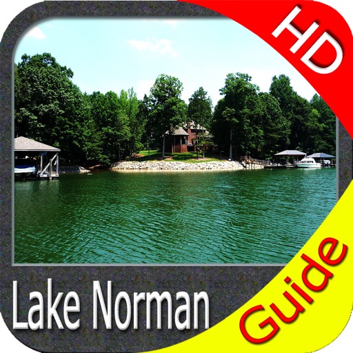
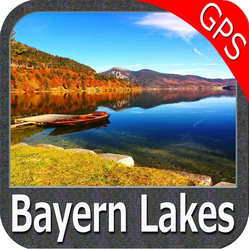
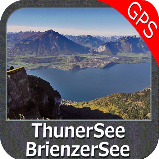
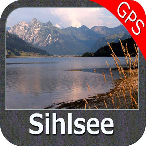
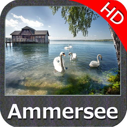
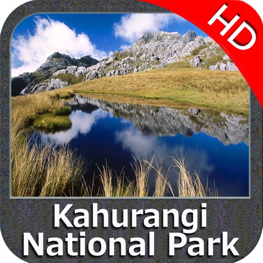
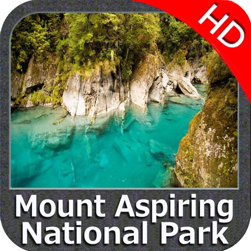
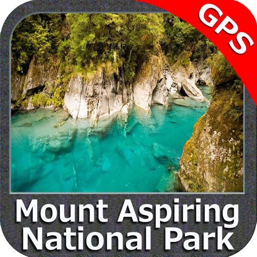
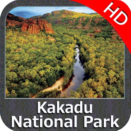
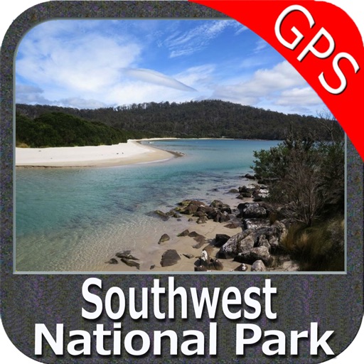
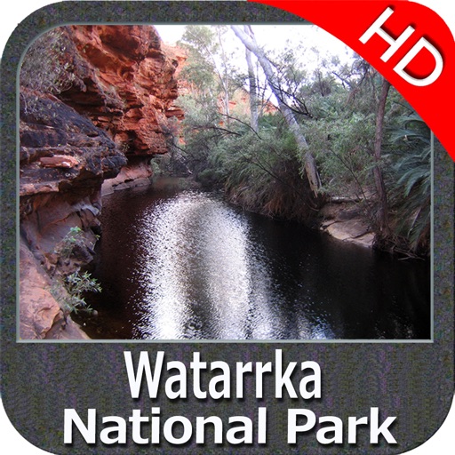
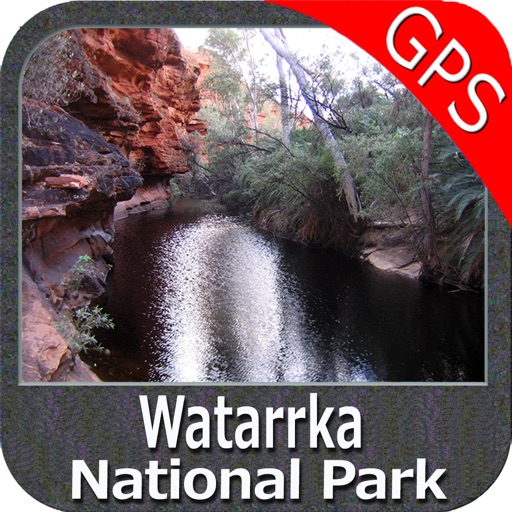
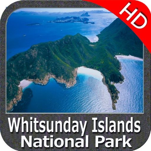
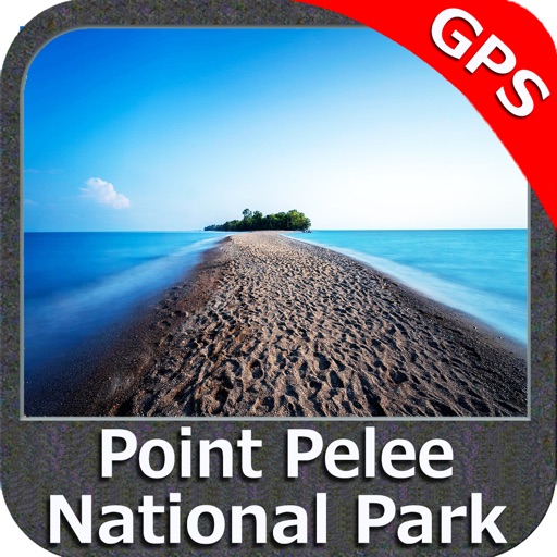
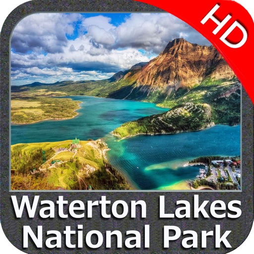
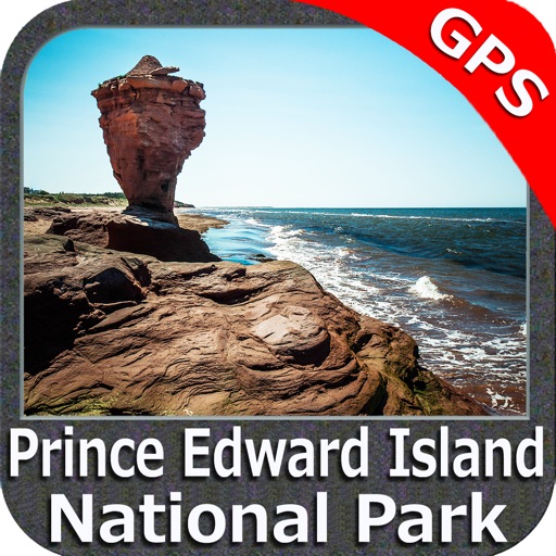
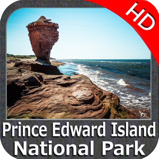
iPhone Screenshots
(click to enlarge)


App Changes
- August 27, 2011 New version 3.1
- February 18, 2012 New version 3.3
- September 14, 2012 Price increase: $2.99 -> $5.99
- June 23, 2016 New version 4.7
- June 13, 2019 New version 5.5
- June 13, 2019 Price decrease: $5.99 -> $4.99
- June 13, 2019 Price decrease: $5.99 -> $4.99
- June 14, 2019 Price decrease: $5.99 -> $4.99
- June 14, 2019 Price decrease: $5.99 -> $4.99
- June 15, 2019 Price decrease: $5.99 -> $4.99
- June 15, 2019 Price decrease: $5.99 -> $4.99
- June 16, 2019 Price decrease: $5.99 -> $4.99
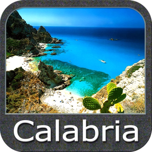
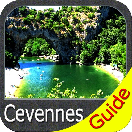
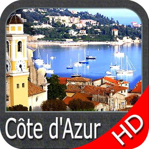
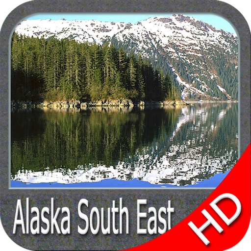
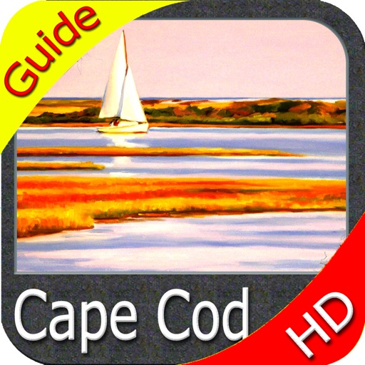
Other Apps From Flytomap