
What's New
Track improvement
Marine Weather algorithm update
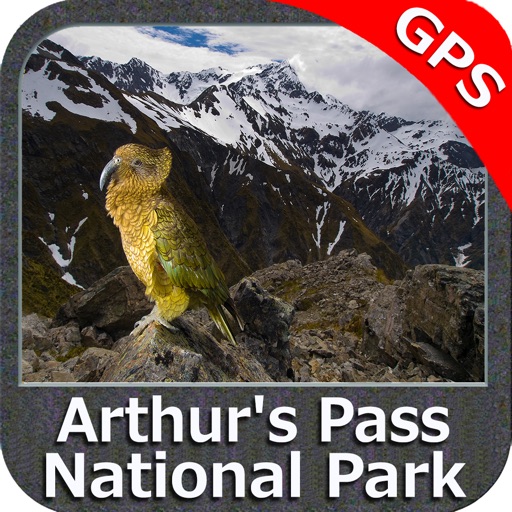
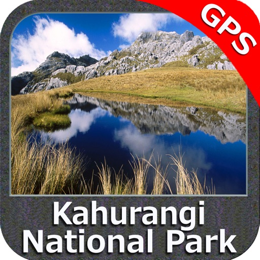
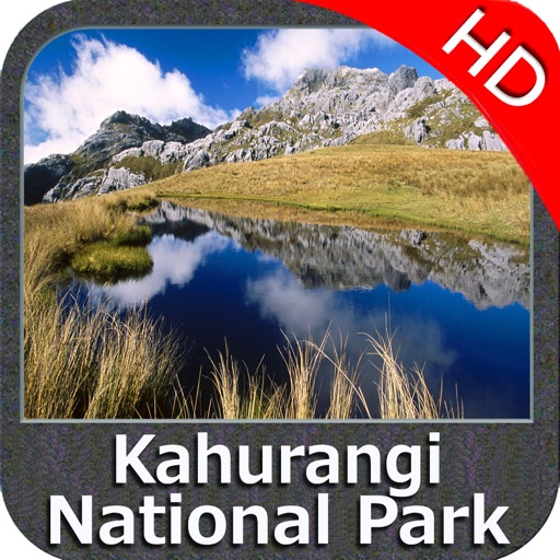
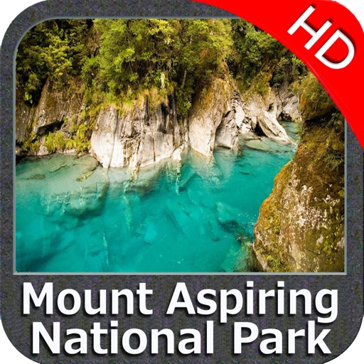
App Description
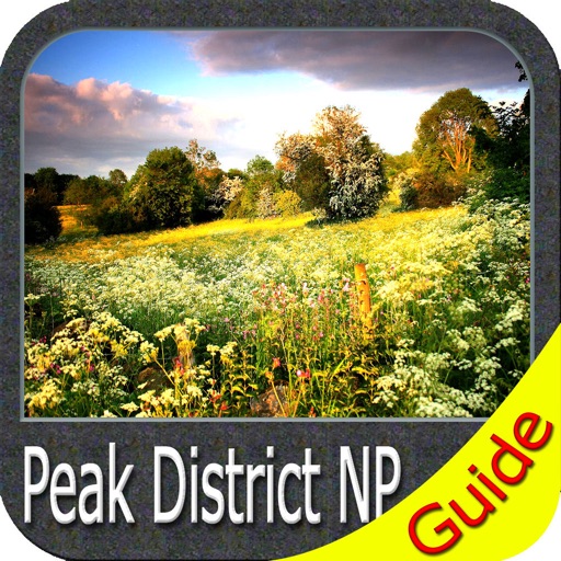
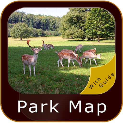
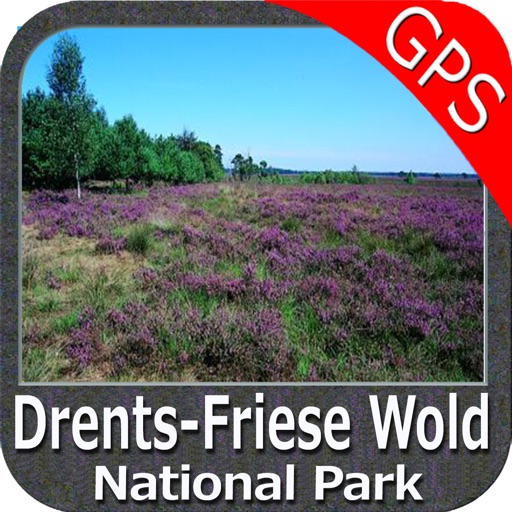
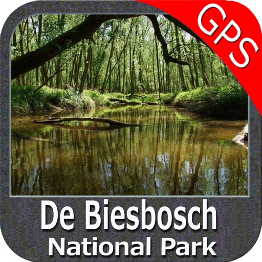
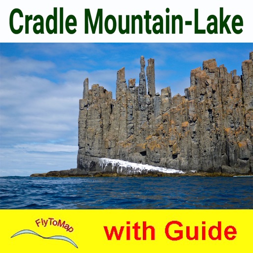
The Cradle Mountain-Lake St Clair National Park - and World Heritage area that encompasses both Cradle Mountain and Lake St. Clair is one of the most spectacular regions in Australia
The Mountain dominates the north part of the island, and the long, deep lake is to its south. Between them lie steep slopes, grass plains, majestic alpine forests, dozens of lakes and several rivers.
The park contains an extensive network of walking tracks to suit everyone's tastes.
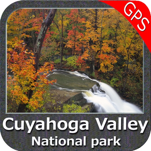
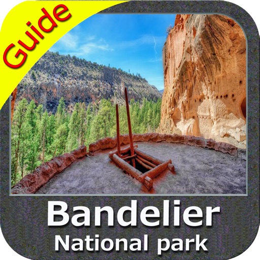
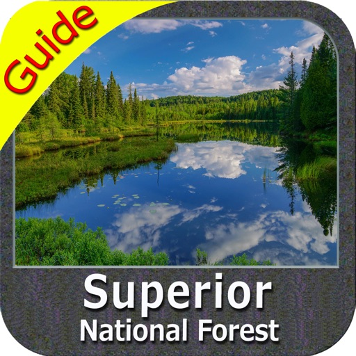
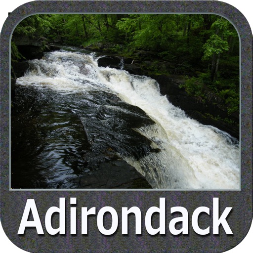
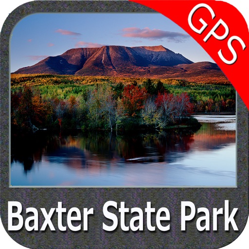
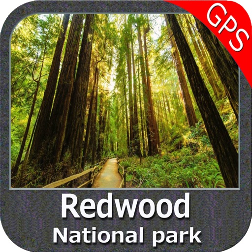
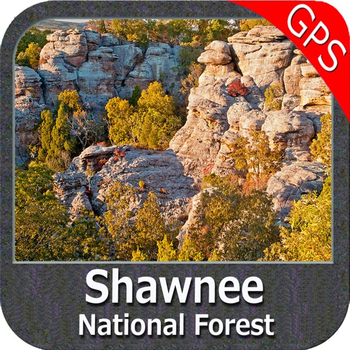
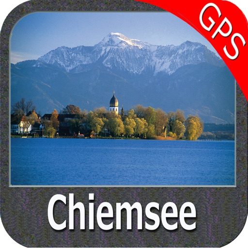
Explore Map:
Park map applications are extremely advanced contains embedded electronic charts with all information collected from the National Park Service and local sources. The maps contain all multiple trails (Hiking, biking, Stairway trails, Bicycle trails, Equestrian trails etc.,) and Point of interests (POI) like Campgrounds, Eating places, Ranger Stations, Picnic areas, Boat/Canoe launching, Parking areas etc.
Gps
Compass
Track & Email routes (kmz files)
Advanced Search
Insert Unlimited Markers
Search Favorites using Latitudes, Longitudes
Guide
Help (User)
& more features inside map………………………………!
“Covers all Trails, Lakes and Rivers within the Parks”
“Elevation Contours with 10 meters interval”
“Mountain Summits”
“All Roads and Railways”
“Enjoy Great Journeys”
"Continued use of GPS running in the background can dramatically decrease battery life."
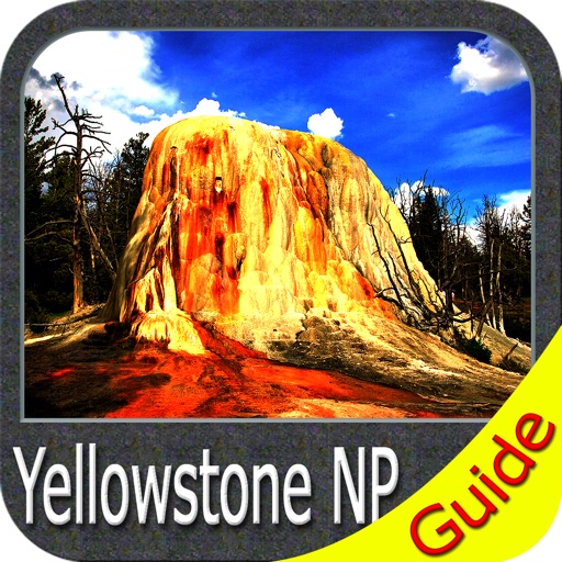
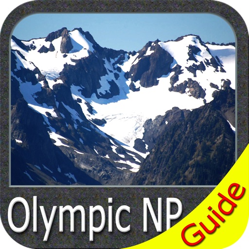
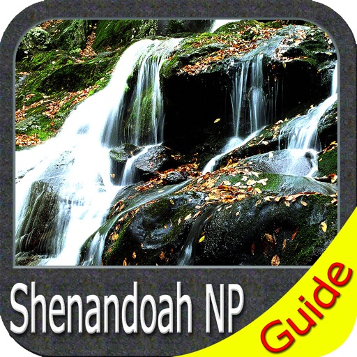
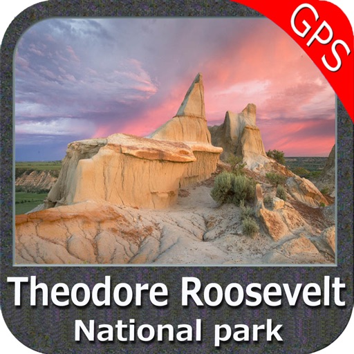
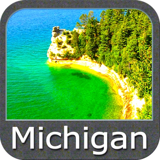
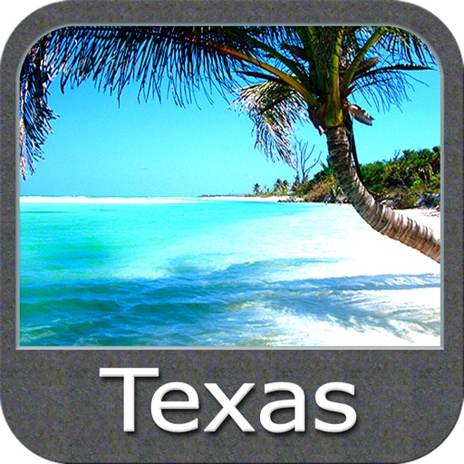
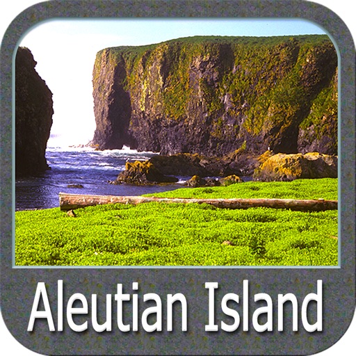
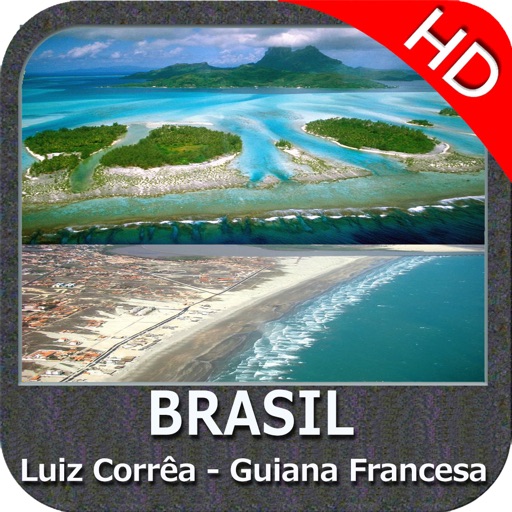
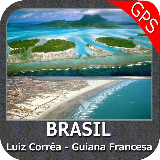
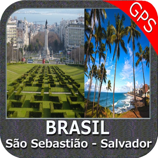
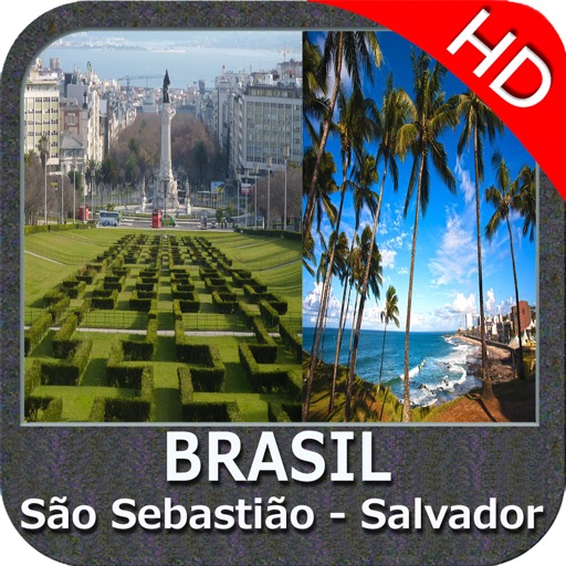
iPhone Screenshots
(click to enlarge)


App Changes
- February 03, 2016 Initial release
- June 22, 2016 Price increase: $2.99 -> $4.99
- June 13, 2019 New version 5.5
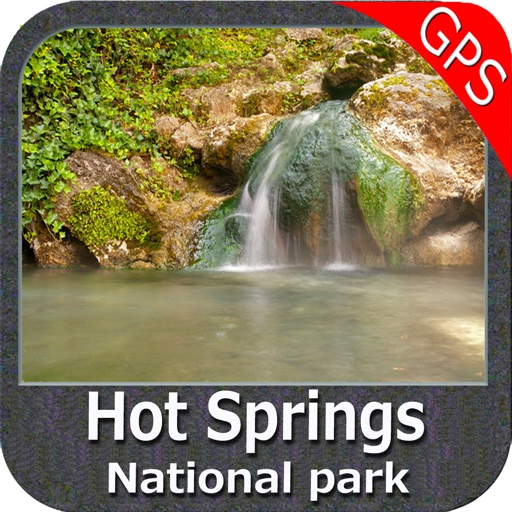
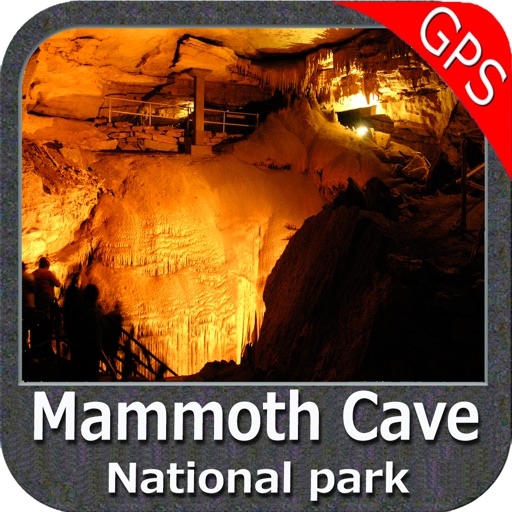
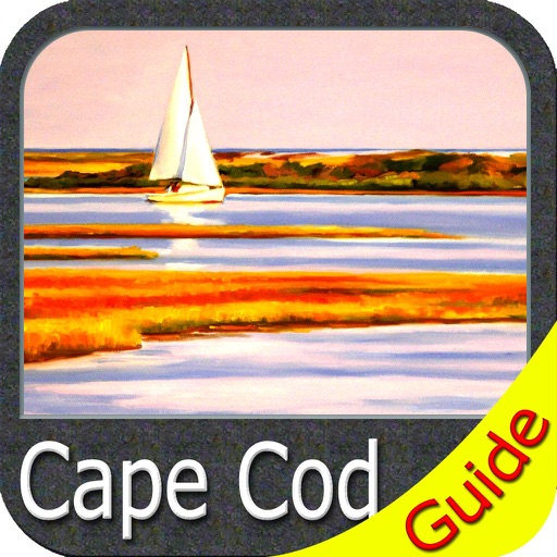
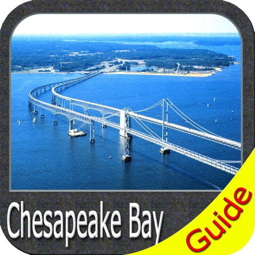
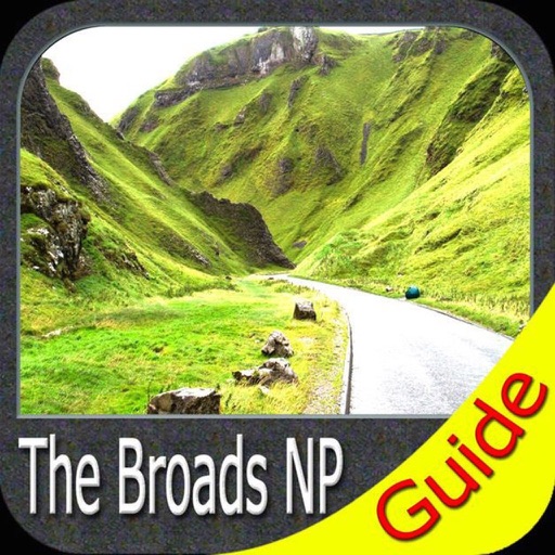
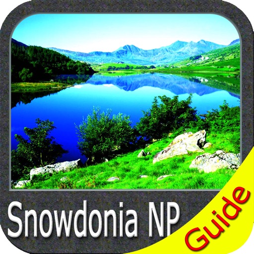
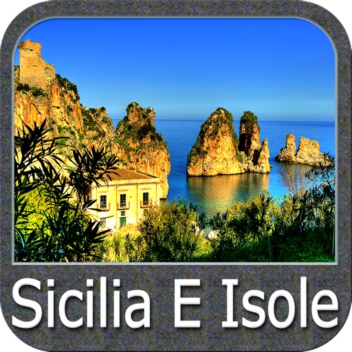
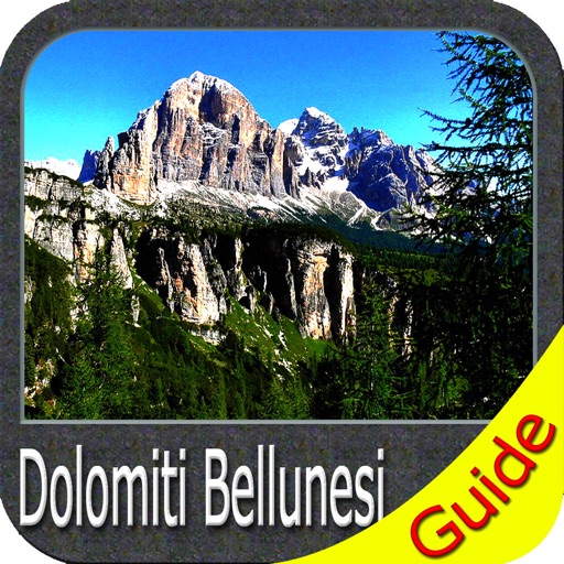
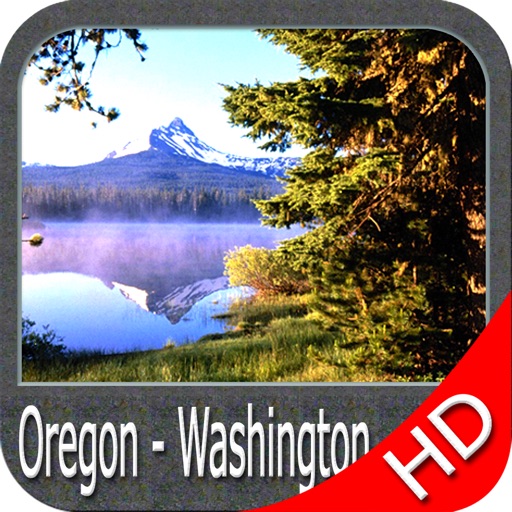
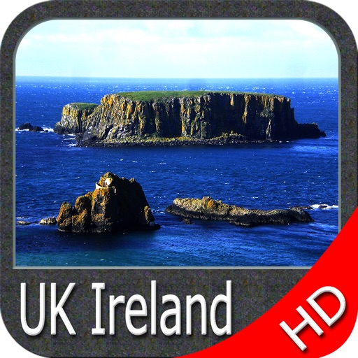
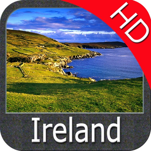
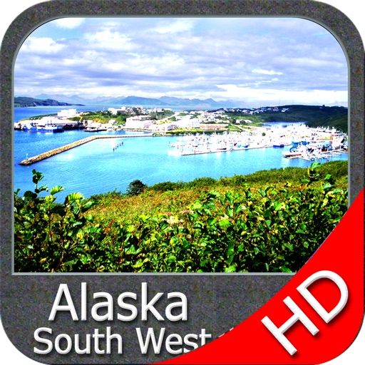
Other Apps From Flytomap