
What's New
nautical chart view improved
App Description
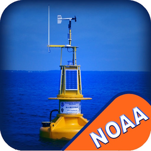
NOAA Buoy data viewer allows you to retrieve info like tides, wave height and period, wind speed and direction, air and water temperature, humidity, dew point, atmospheric pressure, rising and falling indicator, visibility, tsunami and typhoon warnings on detailed marine chart thanks to viewer.flytomap.com
All stations, buoys and ships are drawn on the world marine map, you can easily search the nearest stations and retrieve all NOAA info.
Just tap and get the info you require.
Advise and info are coming directly from NOAA's National Data Buoy Center.
A must for boaters, sailors, anglers and divers.
Detailed Features:
* View buoys near you
* Use GPS or manually enter your choosen location on a very detailed Marine Map.
* Works on all iPhone, iPod, and iPad versions.
* Detailed live buoy data with access to location specific forecasts.
* Buoys sorted by proximity to your selected location.
* Tide Predictions.
* Moon phases.
**For all buoy locations available on the NOAA BUOY app, check: http://www.ndbc.noaa.gov/
iPhone Screenshots
(click to enlarge)


iPad Screenshots
(click to enlarge)


App Changes
- June 14, 2014 Initial release
- January 10, 2016 Price increase: $0.99 -> $1.99
- January 14, 2016 New version 1.1
- January 26, 2016 Price increase: $1.99 -> $2.99
- November 30, 2016 New version 1.3
- June 14, 2019 New version 1.7
- July 15, 2020 New version 1.8.1
- November 12, 2020 New version 1.8.4
- August 06, 2021 New version 1.8.7
- September 16, 2023 New version 1.8.9
Other Apps From Flytomap