
What's New
Compass update
NOAA at boot
Random crash at boot fixed
Magnifier added
Flyviewer is now in feet and meters
Help Page Updated
App Description
FlyToMap™ is a valid and interesting alternative, Benetti Yachts
Top Ten since 2008
Featured in : On the Deck
► The charts downloaded are resident in the app. It works WITHOUT mobile coverage!
Flytomap All In One HD works on all Apple devices
FlyToMap™ offers a revolutionary app; you can download any chart worldwide (500+) free of charge
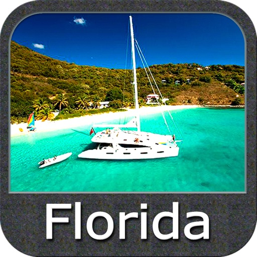
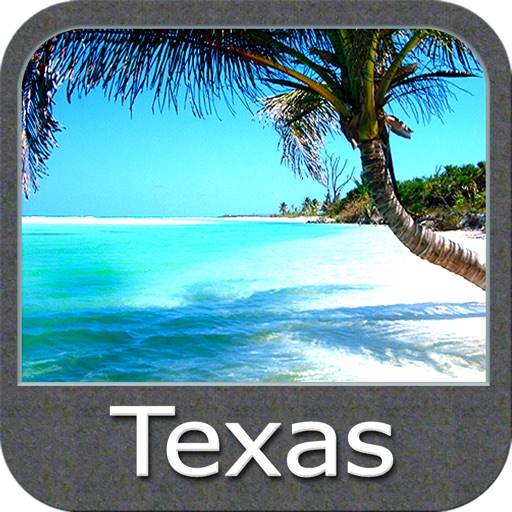
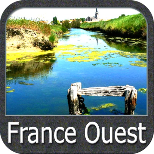
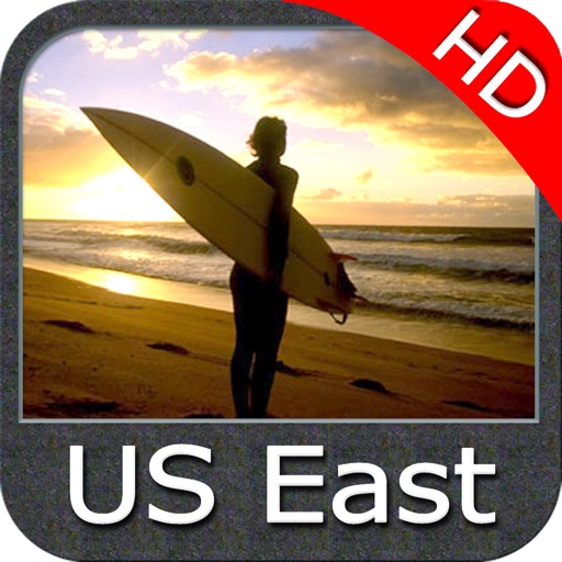
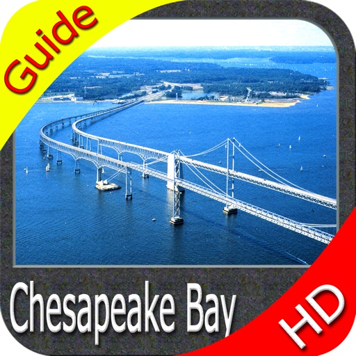
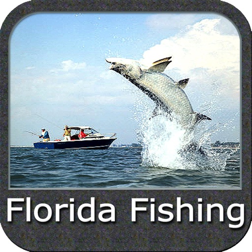
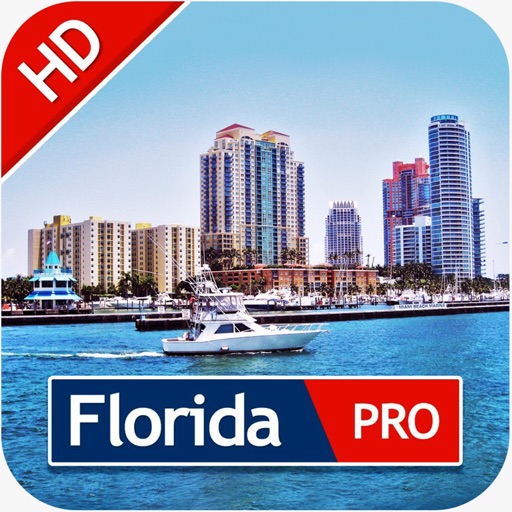
- All USA Marine charts (US All, East, West, Great Lakes, Major Rivers,Florida, Texas, California, etc.)
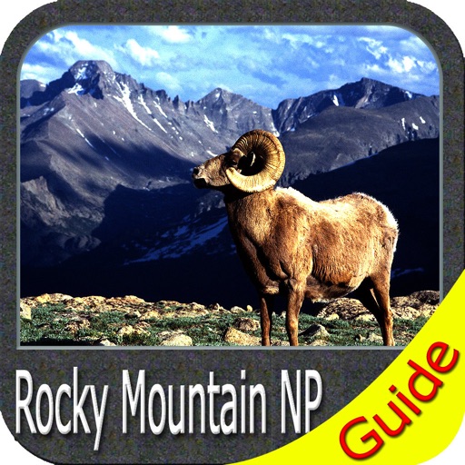
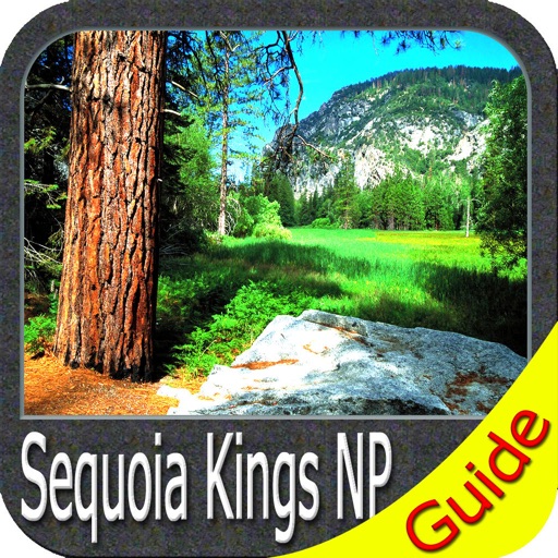
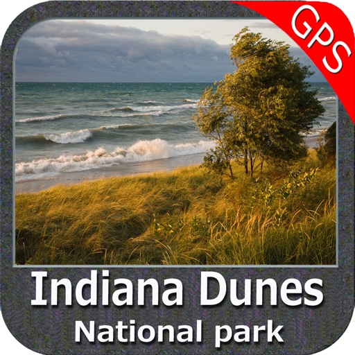
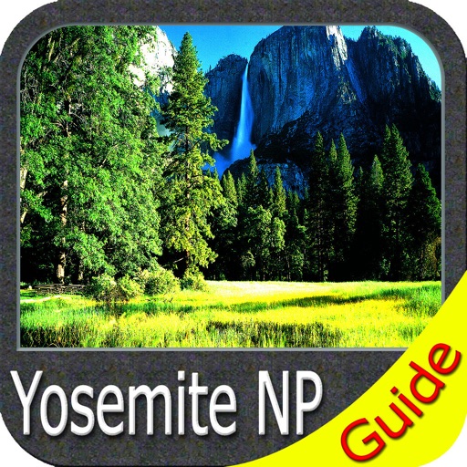
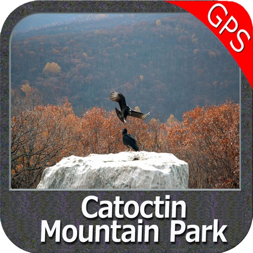
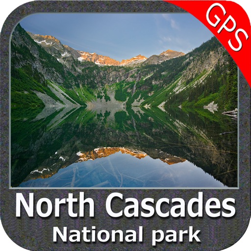
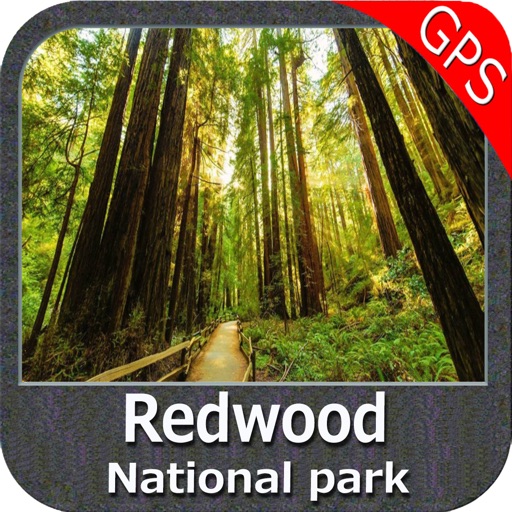
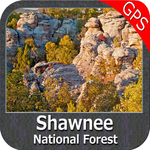
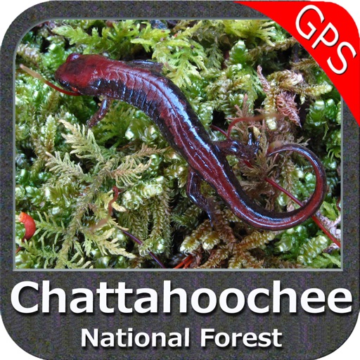
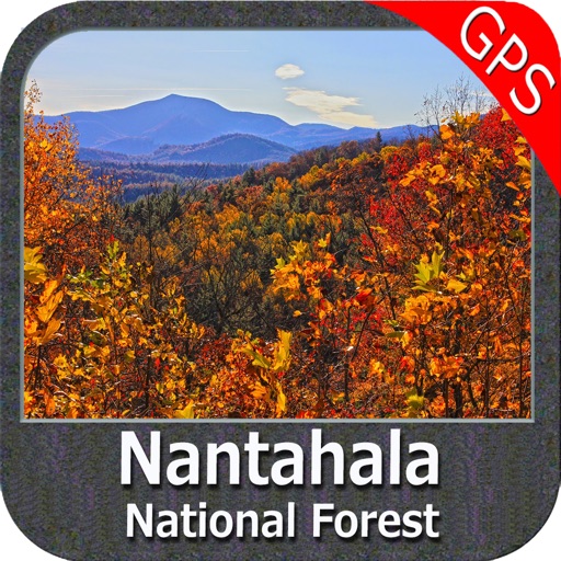
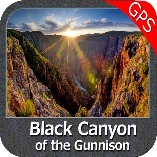
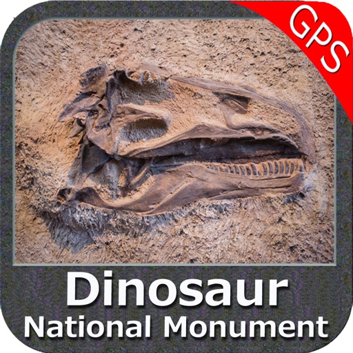
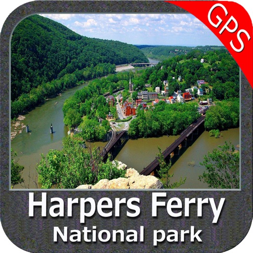
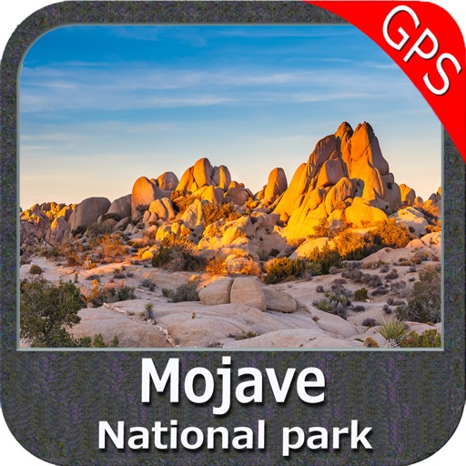
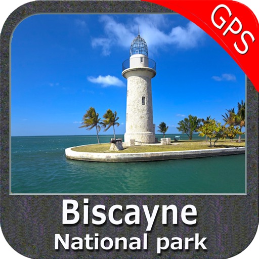
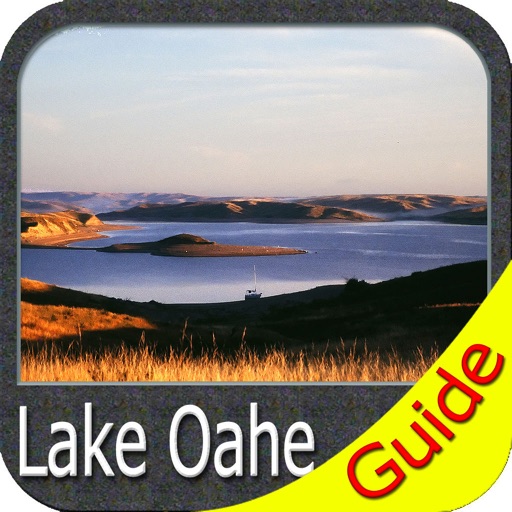
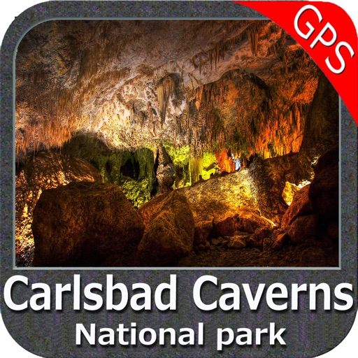
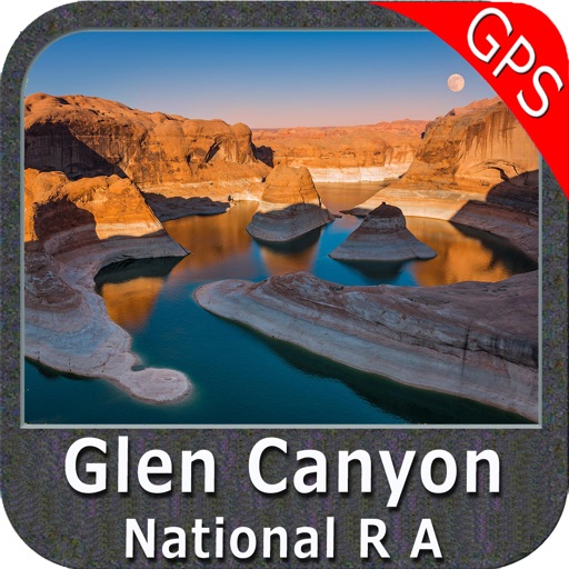
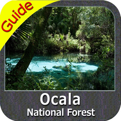
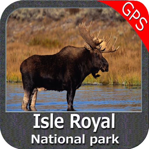
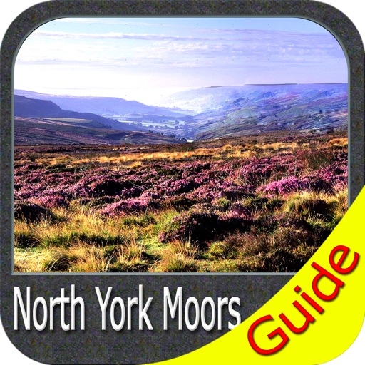
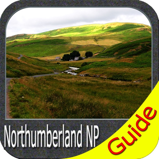
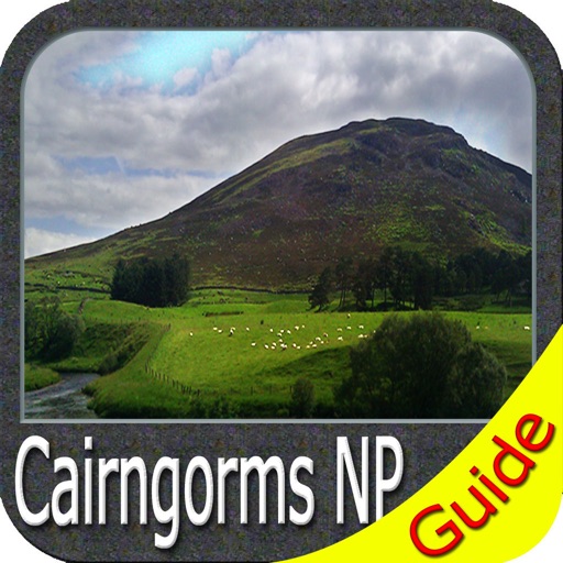
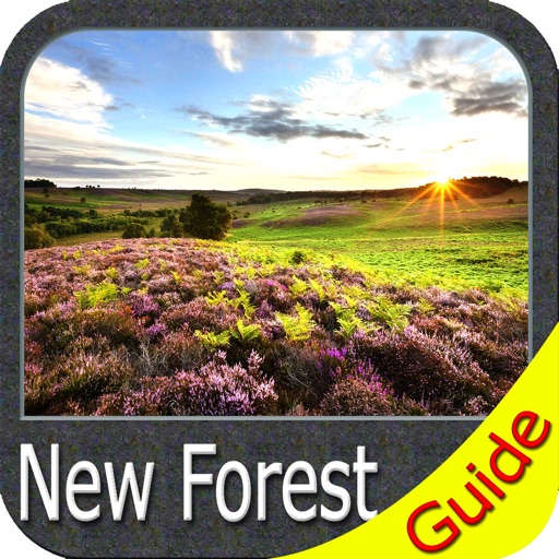
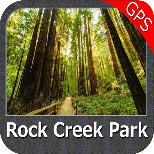
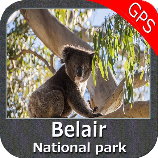
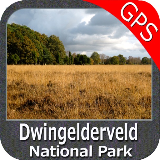
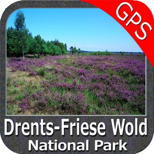
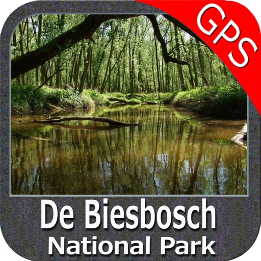
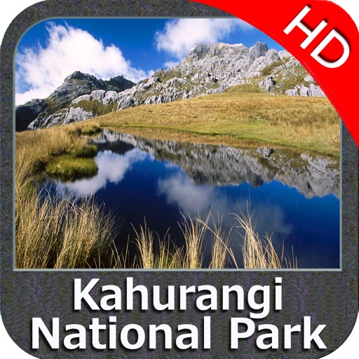
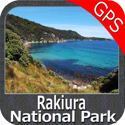
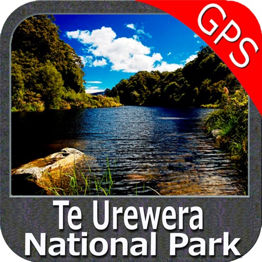
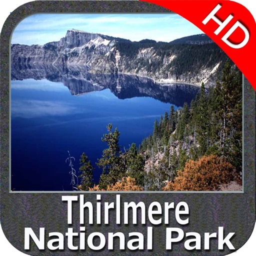
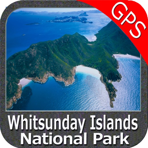
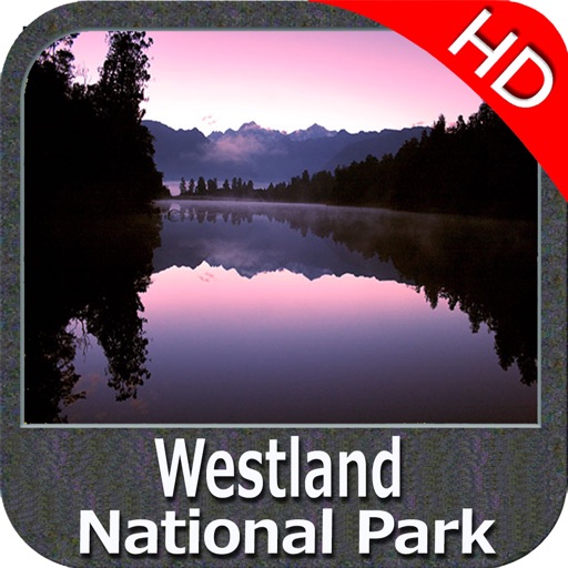
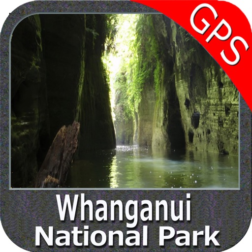
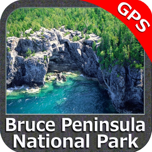
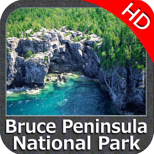
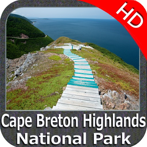
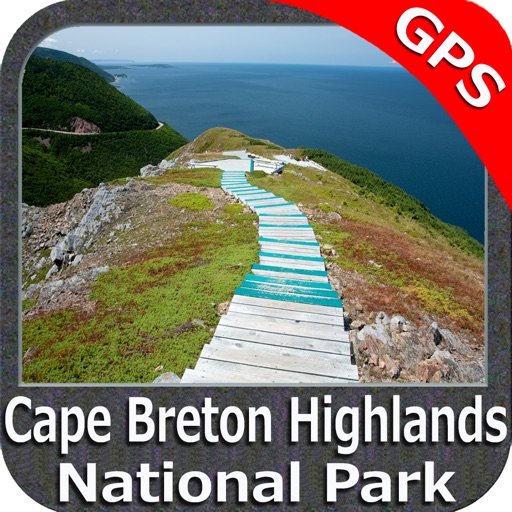
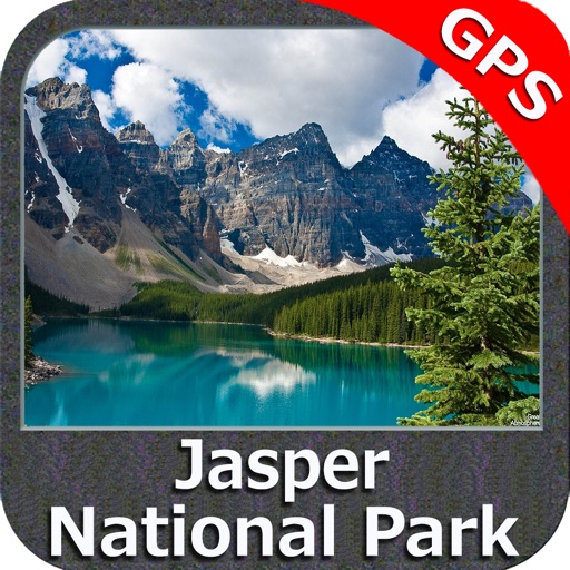
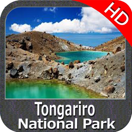
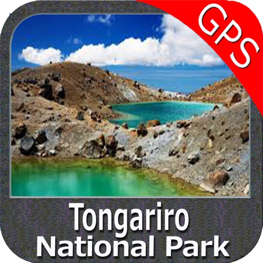
- more than 150 US Parks and Forests
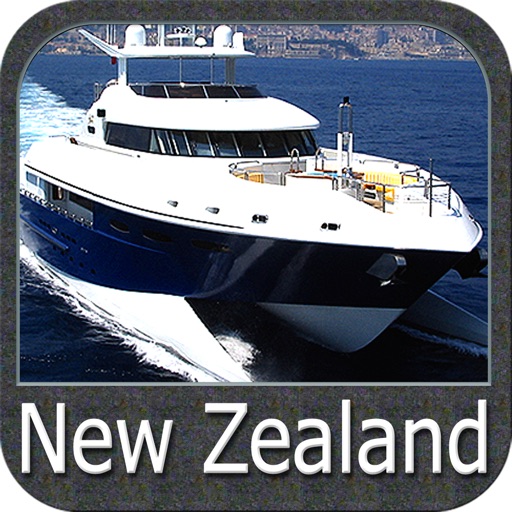
- New Zealand Nautical charts
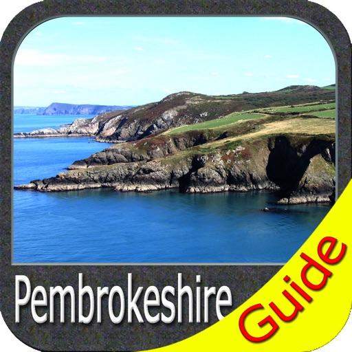
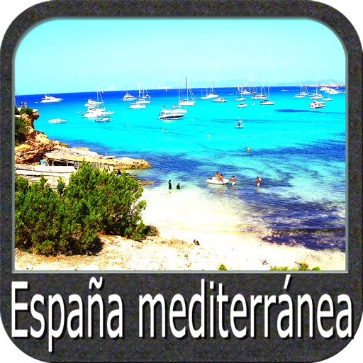
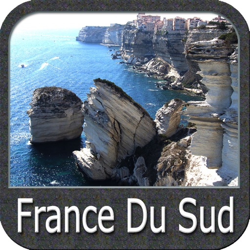
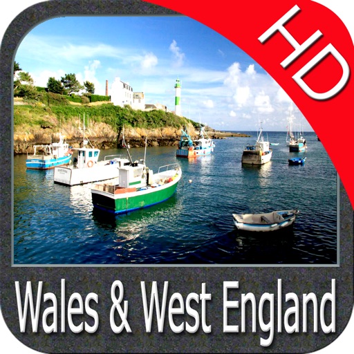
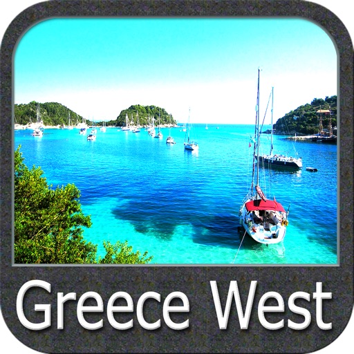
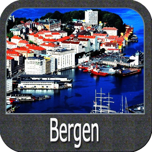
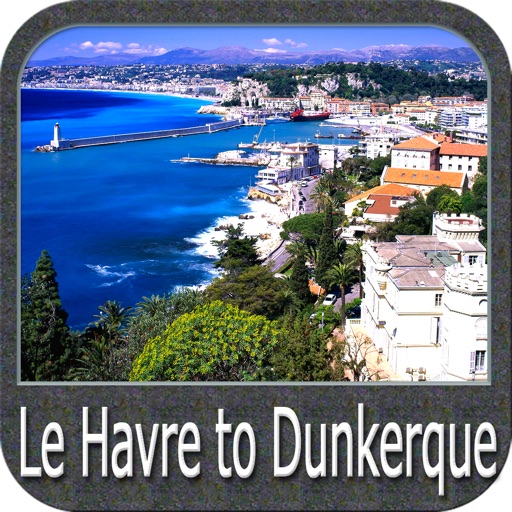
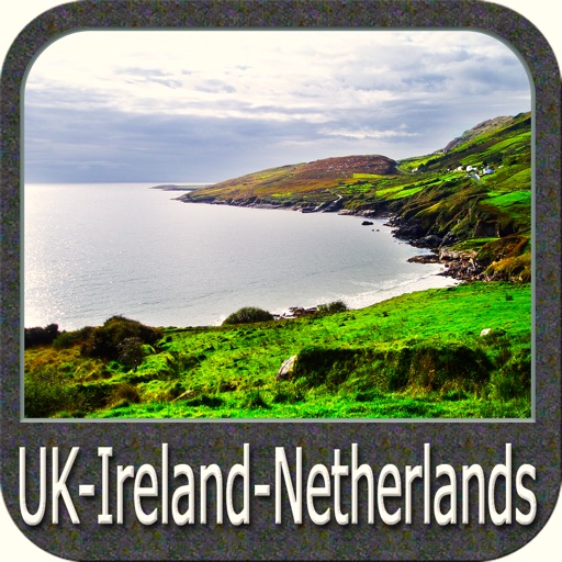
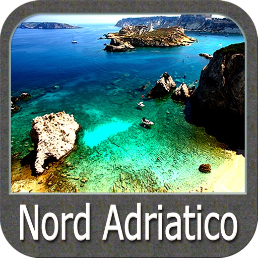
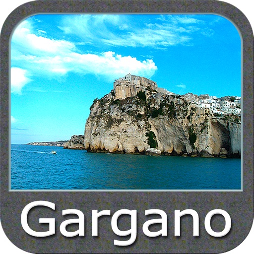
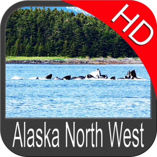
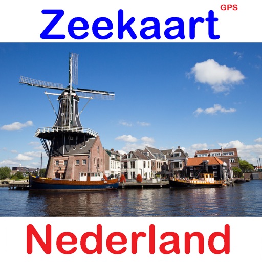
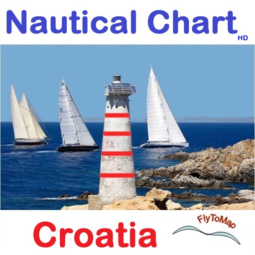
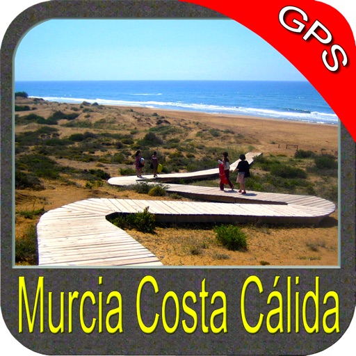
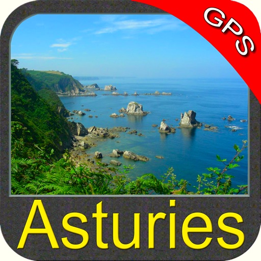
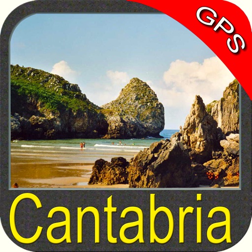
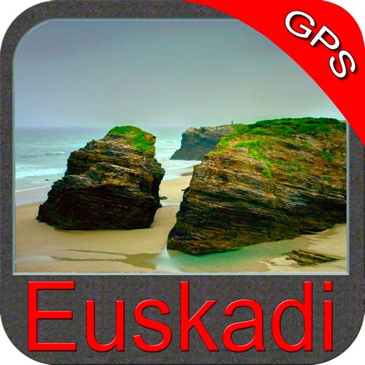
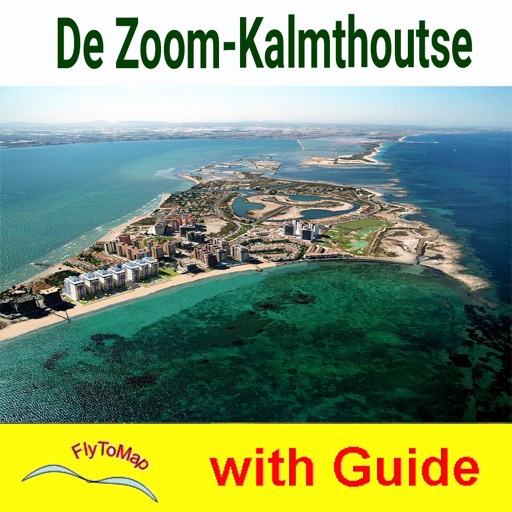
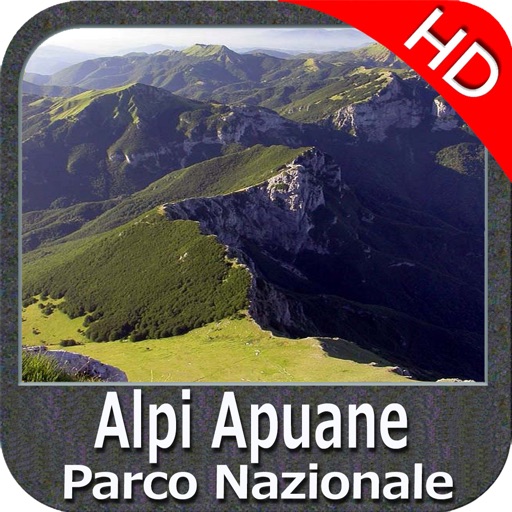
- All Europe marine charts
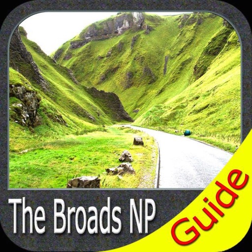
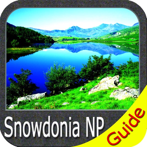
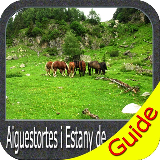
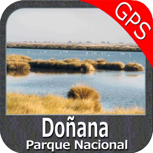
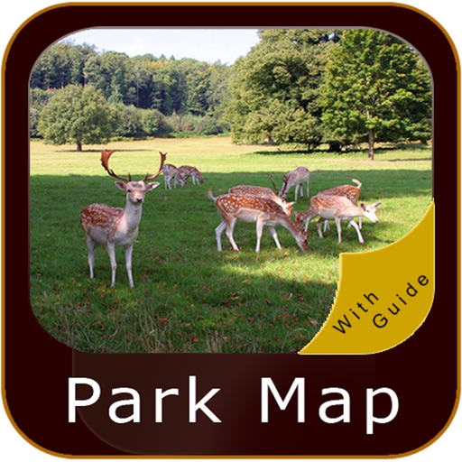
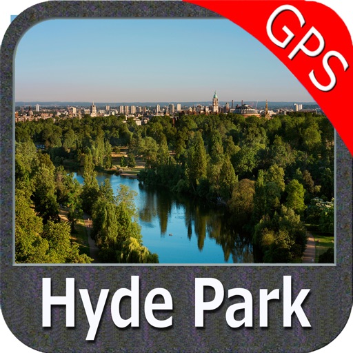
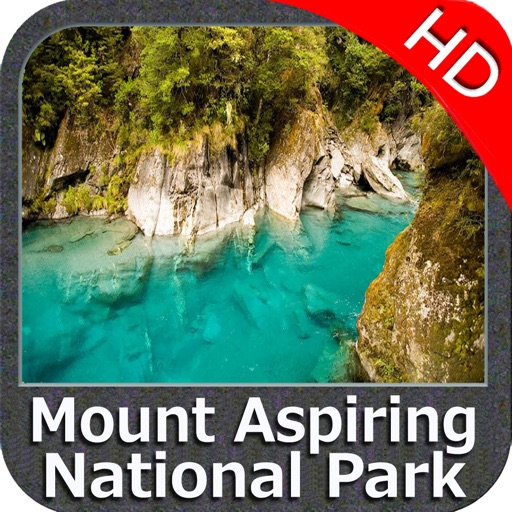
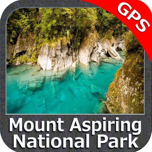
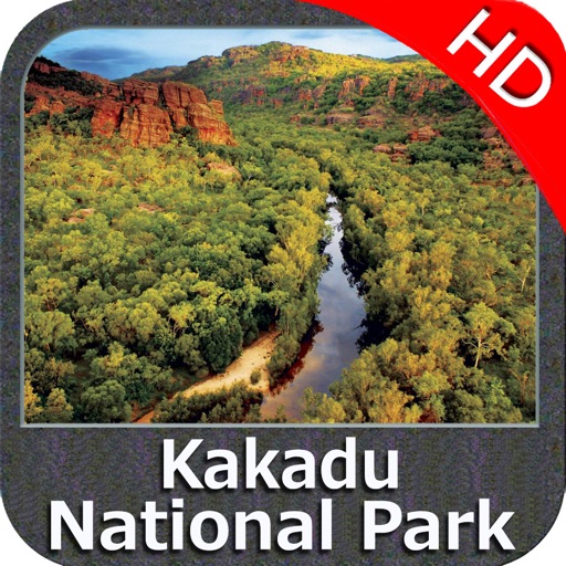
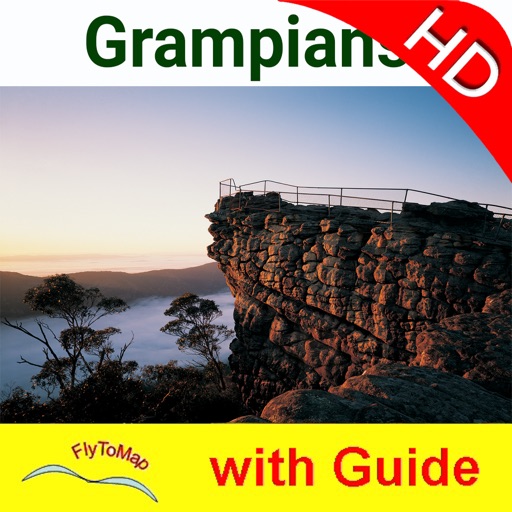
- 200+ major EU parks
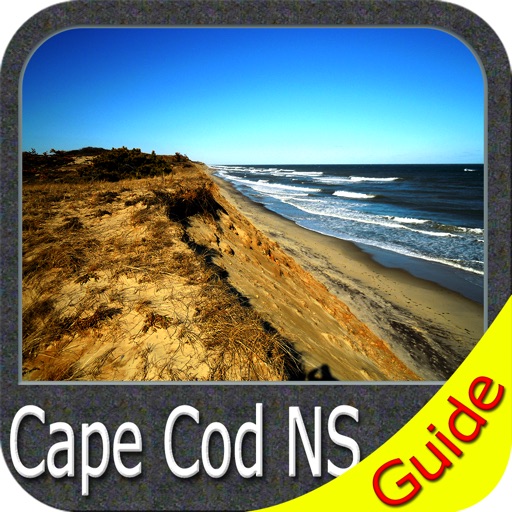
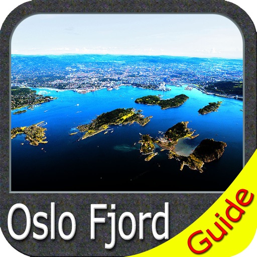
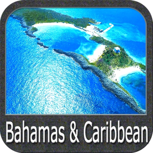
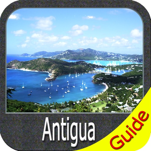
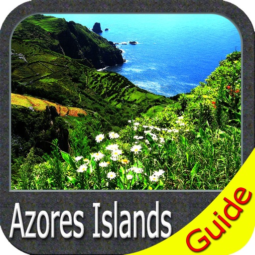
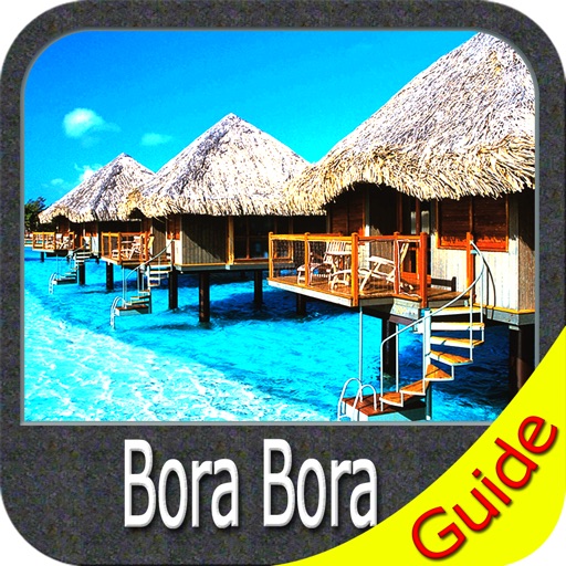
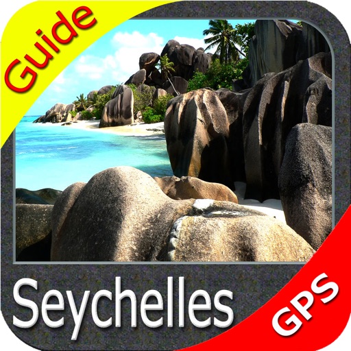
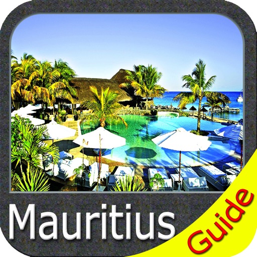
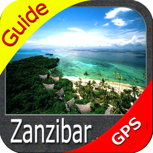
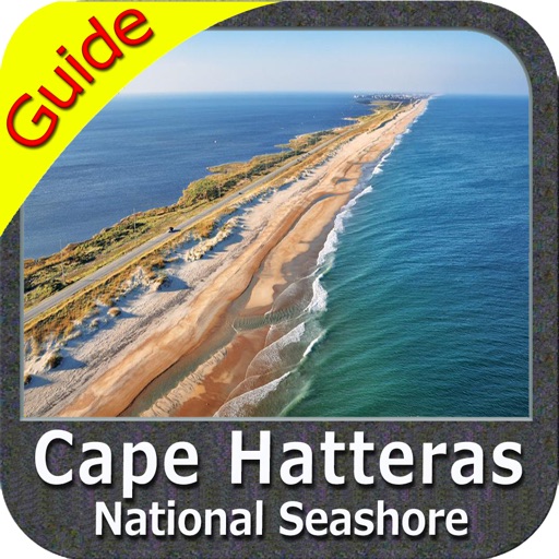
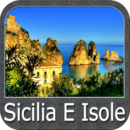
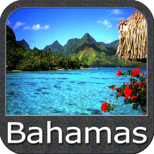
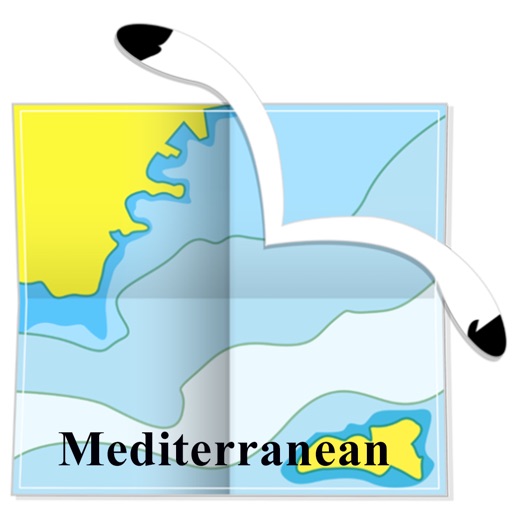
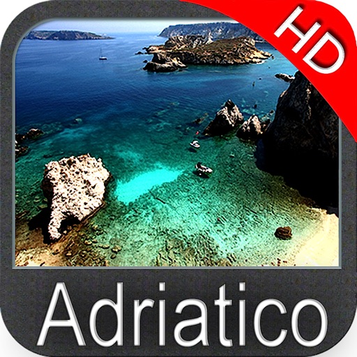
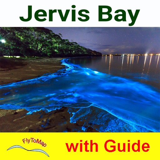
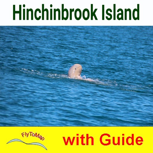
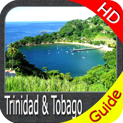
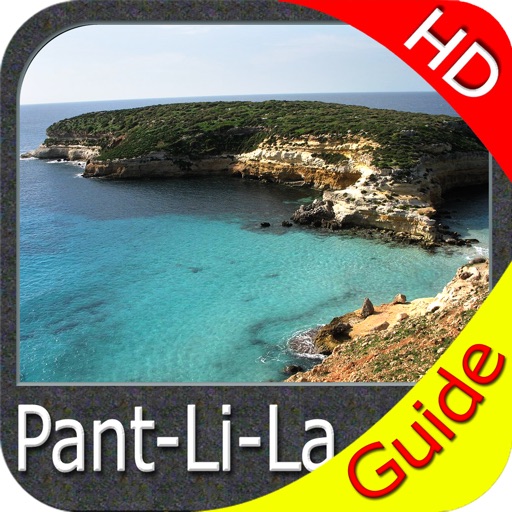
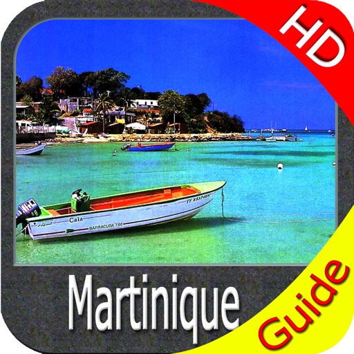
- most famous world holiday ie: Caribbean, Seychelles, Mauritius, Maldives, Canary Islands, Azores, Bora Bora, Bali, Oslo Fjord .. and many more.
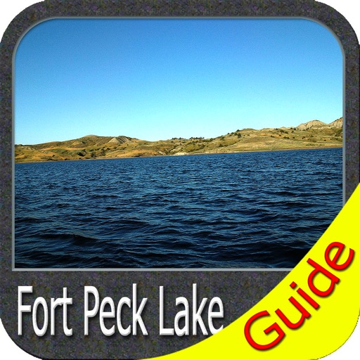
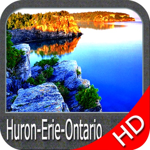
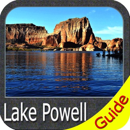
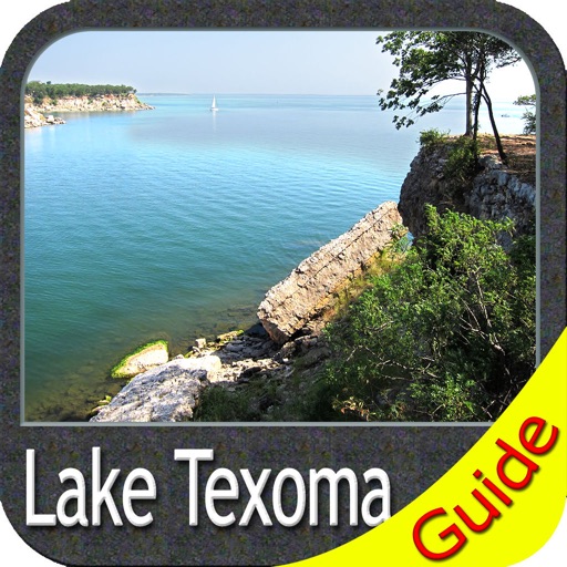
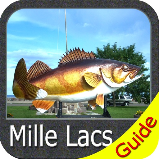
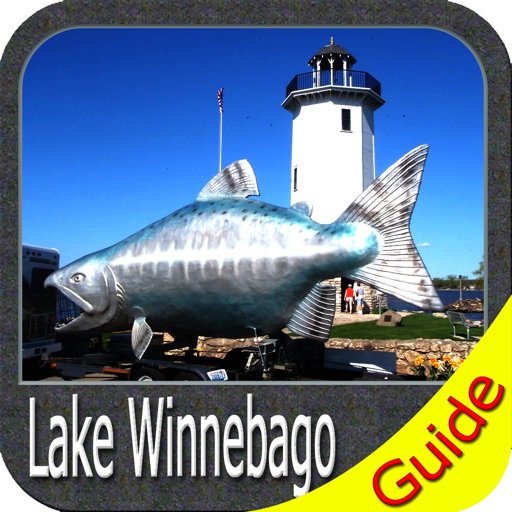
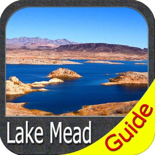
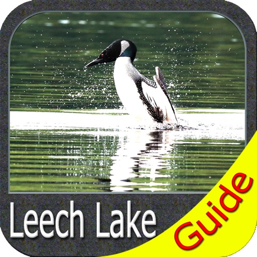
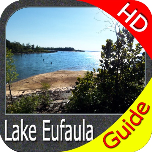
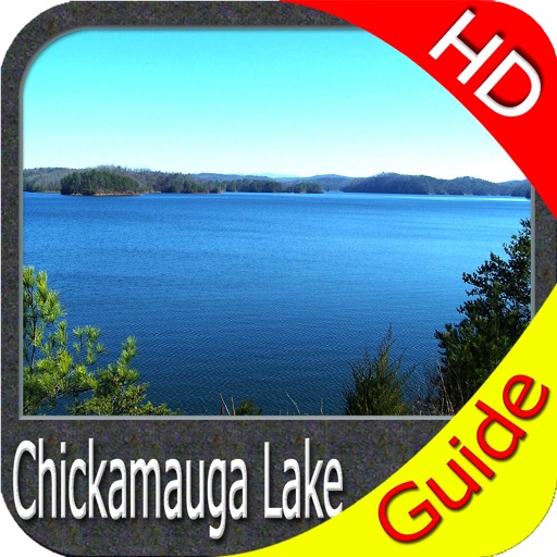
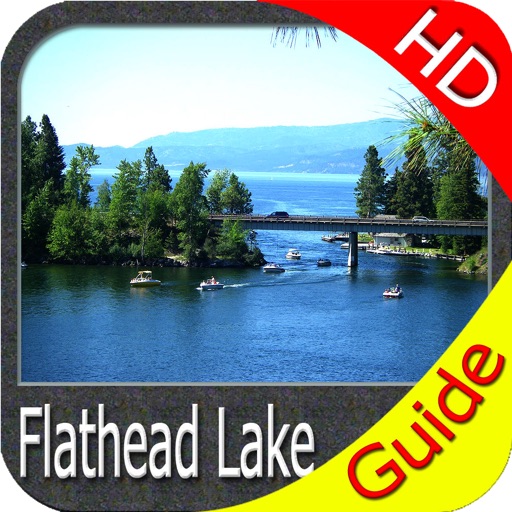
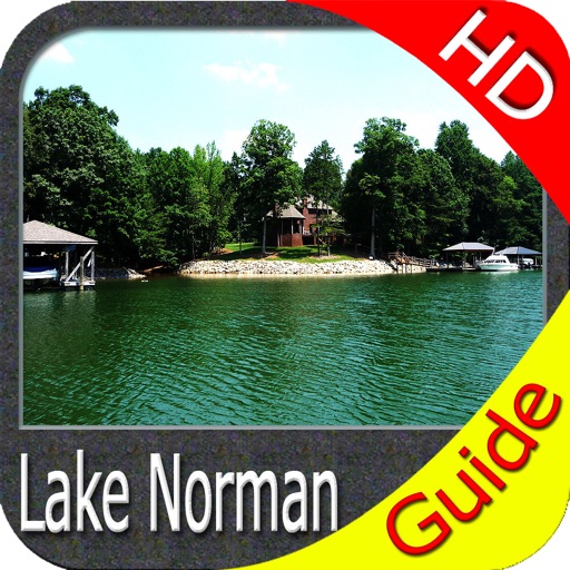
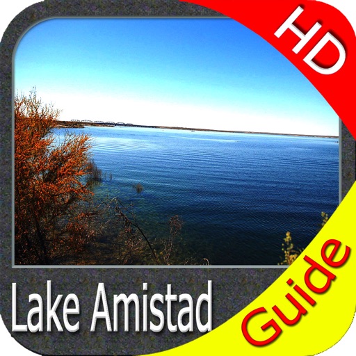
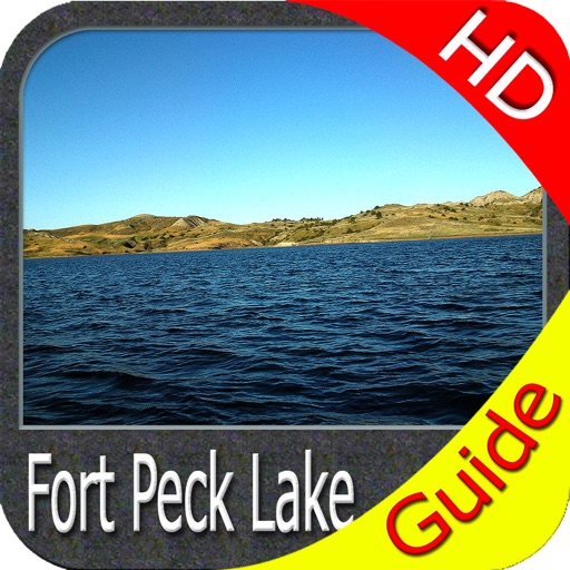
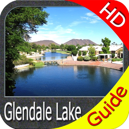
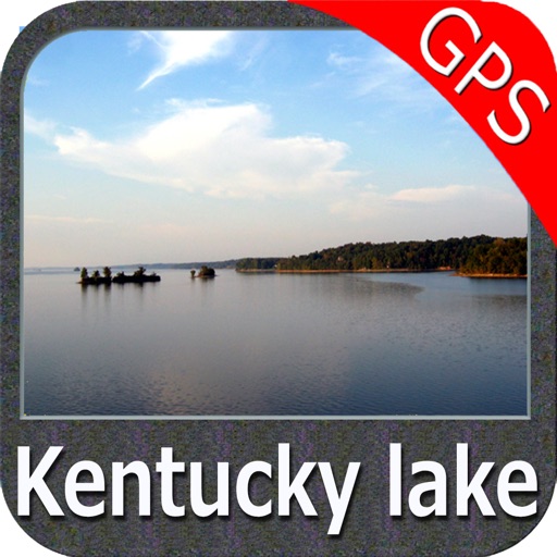
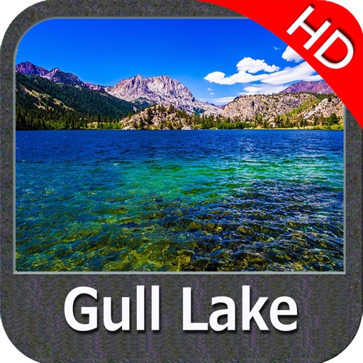
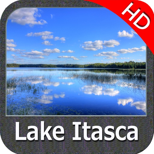
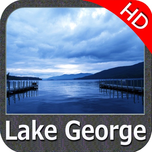
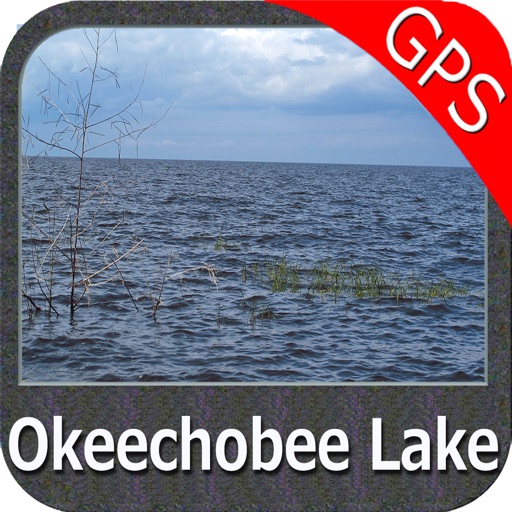
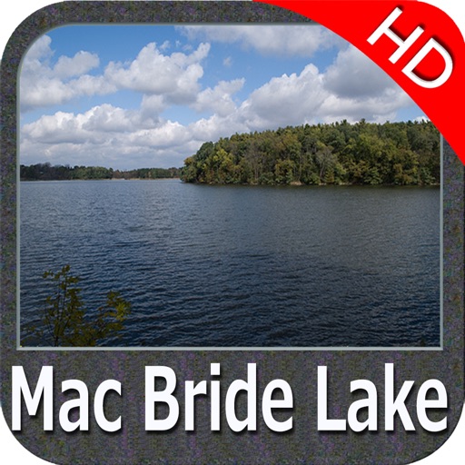
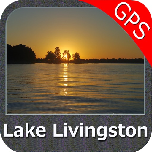
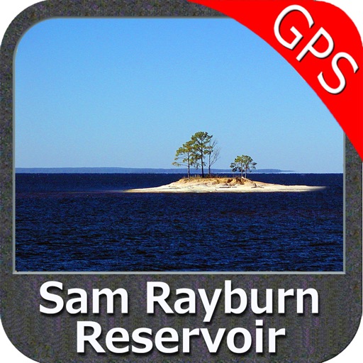
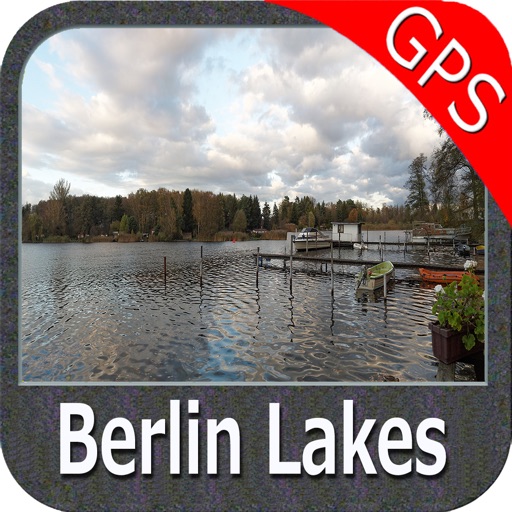
- USA Lake Maps 15000+ : Minnesota, Maine, Michigan, Massachusetts, Wisconsin, Texas,California, Florida,Iowa,North and South Dakota...and many more.
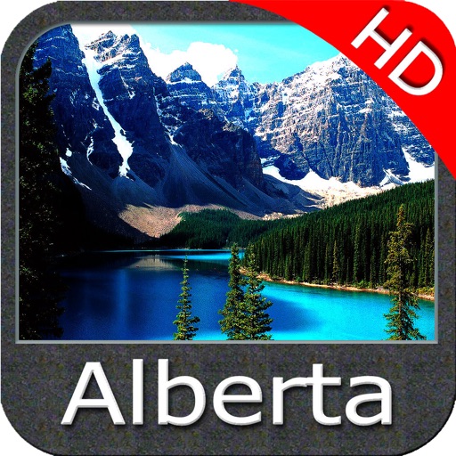
-Canada Lake Maps: Alberta, Lake of the Wood.. and many more.
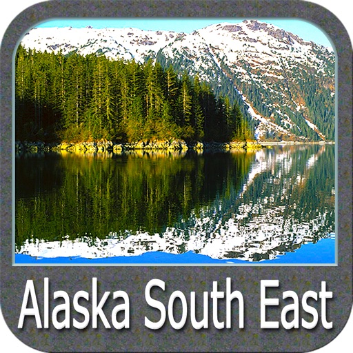
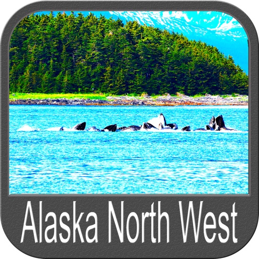
► Worldwide Marine and Outdoor Maps available, thanks to viewer.flytomap.com
► Worldwide Satellite images overlay on charts
► Worldwide Terrain features overlay on charts, thanks to Open Street Map, Open Cycle Map, Bing,Earth,GMap
►Interactive Weather forecast
►NOAA raster charts seamless with continuous updates from the official Government server
Now with ActiveCaptain - Worldwide boaters community, with * 200.000 + Captains
Use to Explore:
√ Latitudes and Longitudes to go to your favorite places
√ Search your Favorite points directly
√ Zoom, Rotate and Pan fast just by a finger touch
√ Quick Object information just tapping, thanks to vector technology
√ GPS Heading Vector Towards the direction movement
√ Distance Measurement Tool to easily calculate the distance from one location to another
√ Route planning, Waypoints - Insert the target/destination and see in real time your speed, distance and bearing
√ Magnified Lens for all info
√ Unlimited Tracks, Markers, Geo-tagged photos, records and share via email, visible on Google, Flytomap Viewer, KMZ format - Store your track without the need of cellular data or mobile signal
√ Select Depth Contours
√ a la carte menu
√ iOS background mode - Flytomap works in background as well, you can swap with another app and receive/make calls send sms while track recording.
√ Optimized battery usage
√ And so much more to come - It’s the only app you will ever need! Our charts are installed on: GARMIN NAVICO LOWRANCE B&G NORTHSTAR EAGLE SIMRAD
Follow us:
▶ Twitter @flytomap
▶ Web Site flytomap.com
▶ Facebook facebook.com/flytomap
FlytoMap™ has a wide range of Applications and Maps for you to use - Free of charge on Flytomap All In One !
- WATER MAPS
Electronic Nautical Charts (ENC) from NOAA and Corps of Engineers compressed to store the largest coverage. You can transform your device in a chart plotter with best NOAA-USACE, ENC S57 cartography; which includes Coastline, Anchoring areas, Fishing areas, Restriction areas, Obstructions, Rocks, Buoys, Beacons, Lights, Depth contours, Spot Soundings and more.
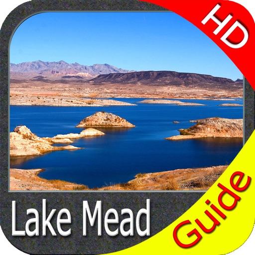
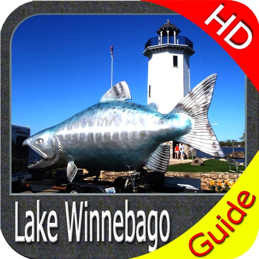
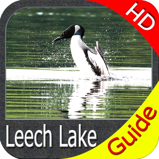
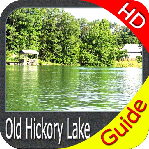
- LAKE MAPS
High quality lake maps with detailed information and important features compressed to assure the larger coverage. Lake maps contain the most important lakes with detailed Depth Contours, Boat Ramps, Fishing spots etc. Maps also include Trails, Roads and Railways information.
- PARK MAPS:
Extremely advanced embedded electronic charts with all information collected from the National/State Park and Forest Services and many other local sources. The maps contain all trails (Hiking, Biking, Equestrian trails etc.,) and Points of interests (POI) like Campgrounds, Visitor Centers, Lookout points, Eating places, Ranger Stations, Picnic areas, Boat/Canoe ramps, Parking areas etc..
- TRAVEL MAPS
These Maps cover most interesting touristic areas combining Sea and Land information to allow you a complete travel experience.
Continued use of GPS running in background can decrease battery life.
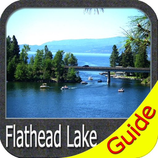
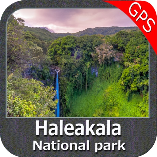
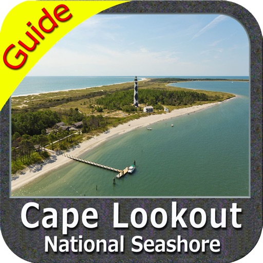
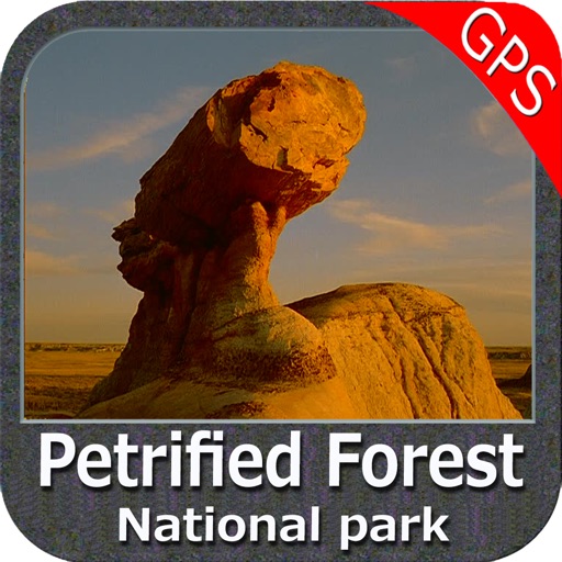
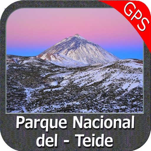
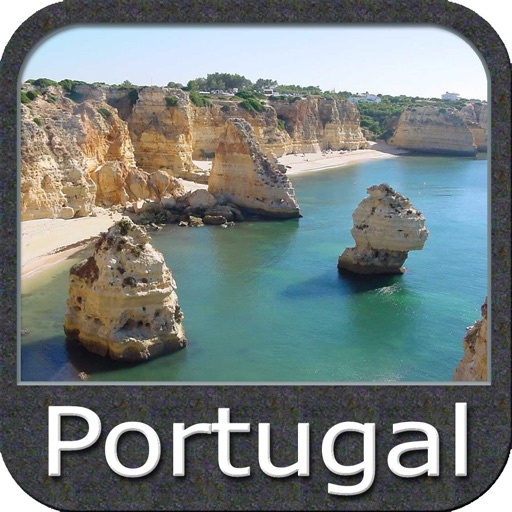
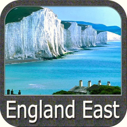
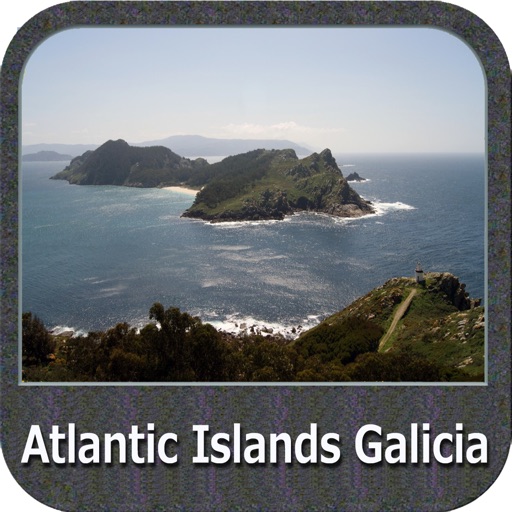
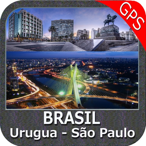
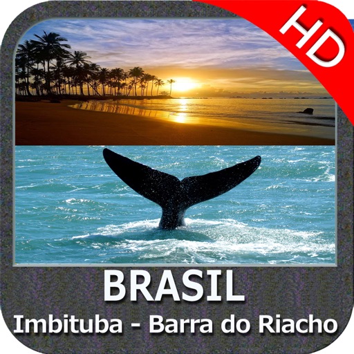
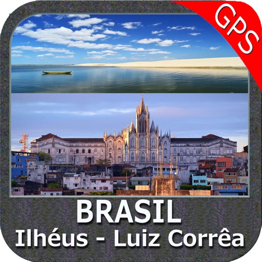
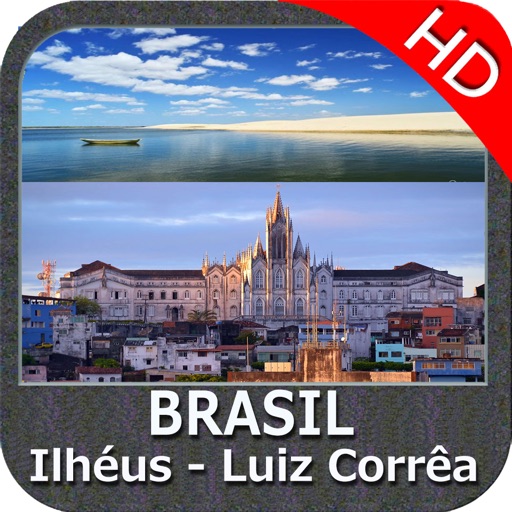
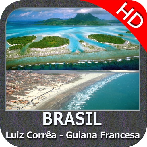
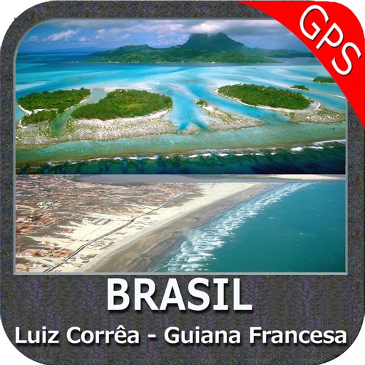
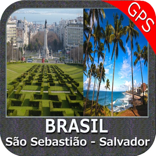
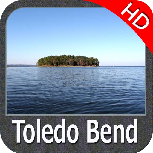
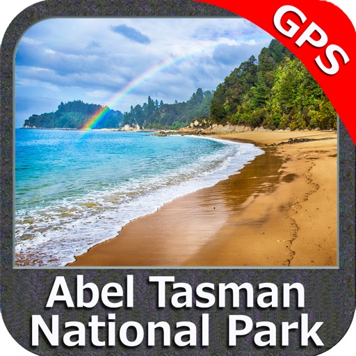
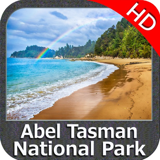
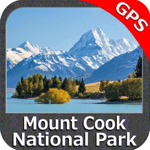
iPhone Screenshots
(click to enlarge)


App Changes
- June 24, 2011 New version 3.0
- July 20, 2011 New version 3.1
- August 13, 2011 New version 3.2
- August 27, 2011 New version 3.2.1
- October 22, 2011 New version 3.3
- December 05, 2011 New version 3.3.1
- December 21, 2011 New version 3.4
- February 09, 2012 New version 3.4.1
- March 04, 2012 New version 3.5
- March 06, 2012 New version 3.5.1
- May 28, 2012 New version 3.5.2
- June 07, 2012 New version 3.5.3
- July 12, 2012 New version 3.5.4
- July 26, 2012 New version 3.5.5
- September 01, 2012 New version 3..5.6
- October 23, 2012 New version 3.6
- December 14, 2012 New version 3.6.1
- March 22, 2013 New version 3.6.2
- March 14, 2016 New version 4.7
- June 23, 2016 New version 4.7.1
- August 19, 2016 New version 4.9
- November 06, 2016 New version 4.9.1
- November 11, 2016 New version 5.1
- June 13, 2019 New version 5.3.2
- June 13, 2019 Price increase: $9.99 -> $11.99
- June 13, 2019 Price increase: $9.99 -> $11.99
- June 14, 2019 Price increase: $9.99 -> $11.99
- June 14, 2019 Price increase: $9.99 -> $11.99
- June 15, 2019 Price increase: $9.99 -> $11.99
- June 15, 2019 Price increase: $9.99 -> $11.99
- June 16, 2019 Price increase: $9.99 -> $11.99
Other Apps From Flytomap