
What's New
Update for the Mets 2011 Trade show
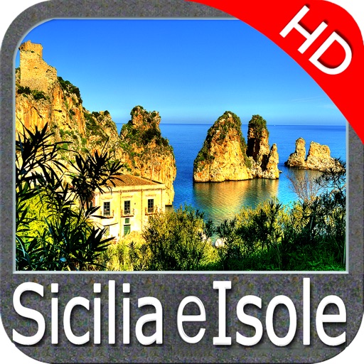
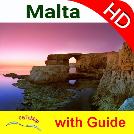
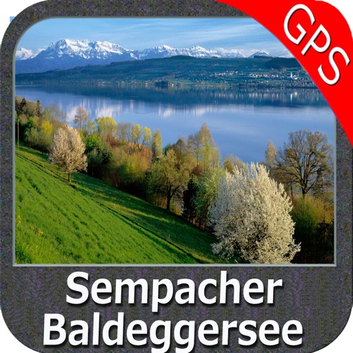
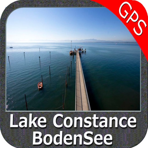
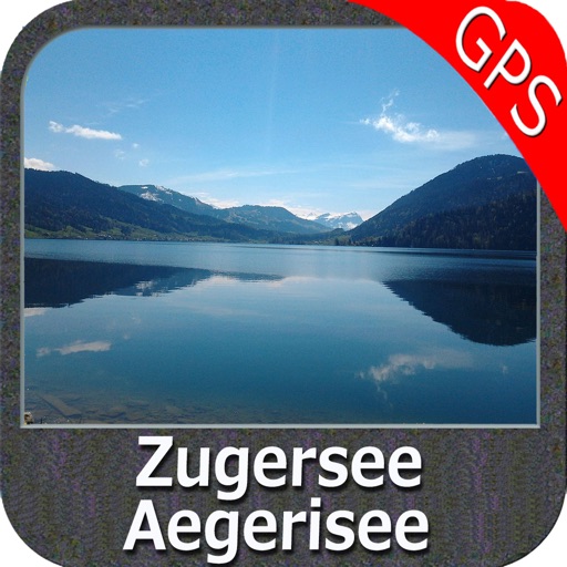
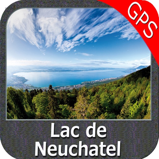
App Description
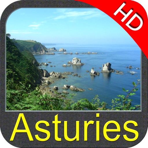
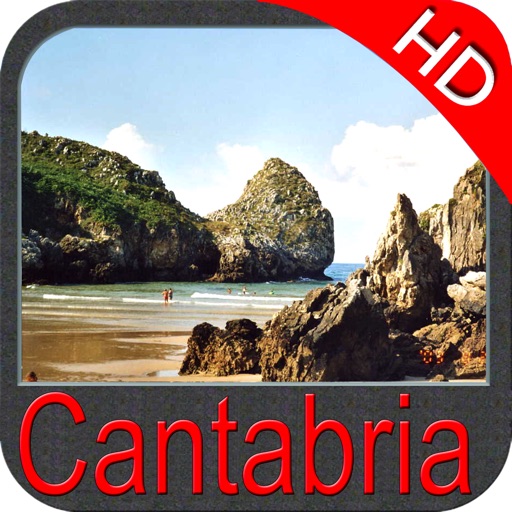
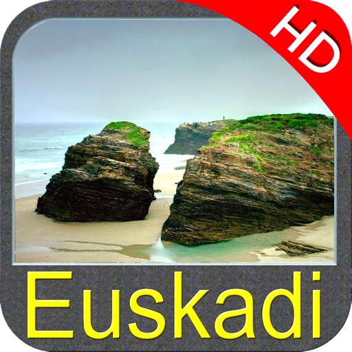
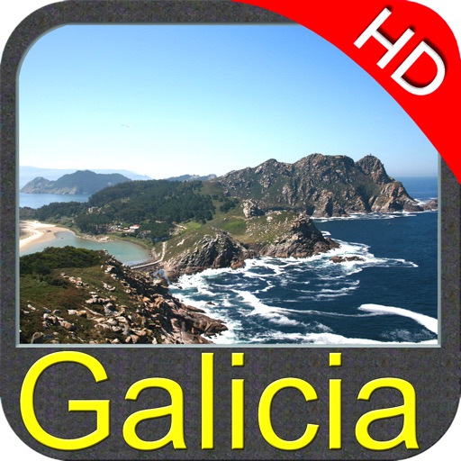
FlyToMap offers for free this unique application, with an OFFLINE map, to all the people visting the METS (Marine Equipment Trade Show) in Amsterdam.
You can use functions available in this applications with an offline cartography dedicated to the METS Show in Amsterdam as well as the whole Amsterdam City.
The map contains the most important POI of Amsterdam, all roads, marine maps of the area and a detailed map of the METS Show area with all the boots present in the exhibition.
You can put your favorite places and search for a boot number or a company name finding its location at the show.
Track your travels, search for POI looking at the roads, taking Geo-Tagged photo and much more…
You can overlap the dedicated map with Google and have the best cartographic experience.
Other functions: “Zoom and Pan fast just by a finger touch” “Use Latitudes and Longitudes to go to your favorite places” "Record your GPS Track" “Detailed touristic guide at your finger's disposal” “Navigate and see your GPS position on the map” “Geo-Tagged photo management” “Insert the target/destination ‘Waypoint’ and see in real time your speed, distance and direction to destination” “Insert Unlimited Markers near favorite places on the map” “Search your Favorite points or any location by name” “Set On/Off Elevation Contours if you feel data is cluttering” –
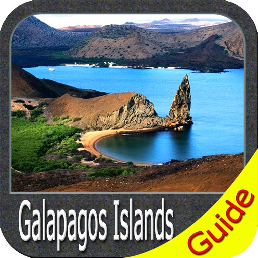
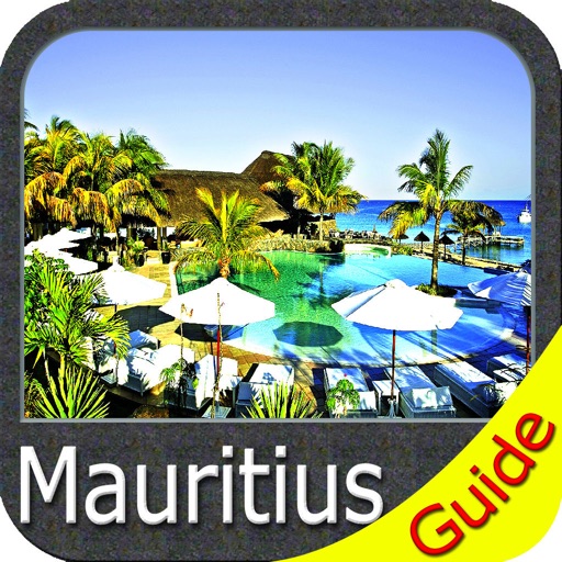
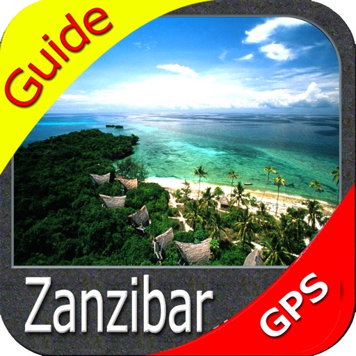
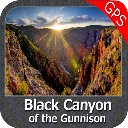
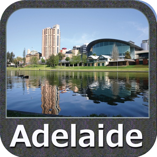
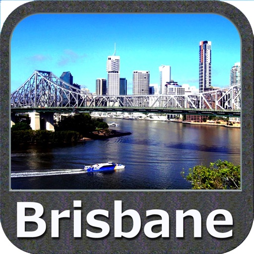
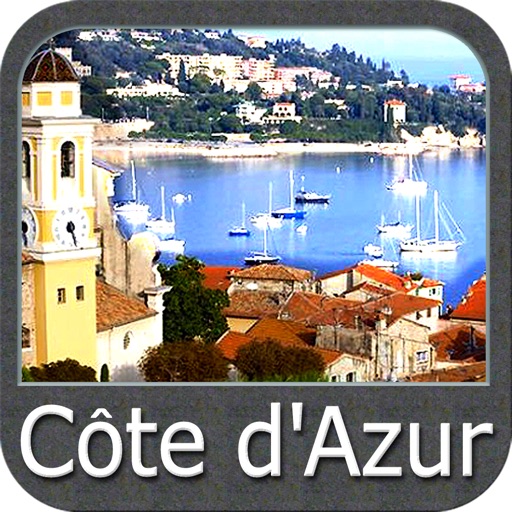
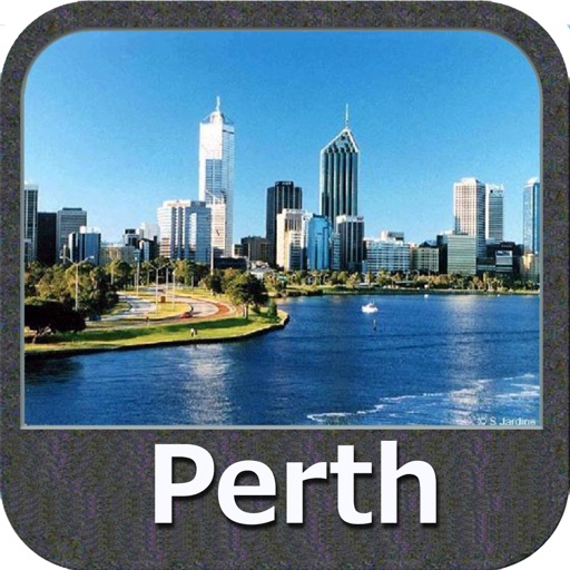
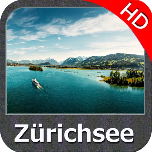
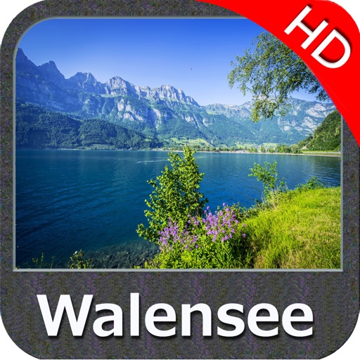
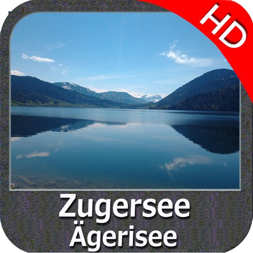
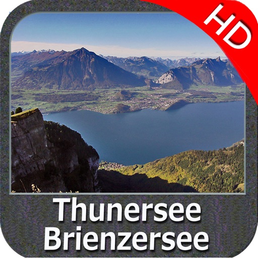
iPhone Screenshots
(click to enlarge)


App Changes
- October 29, 2011 New version 2.0
Other Apps From Flytomap