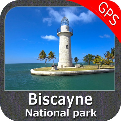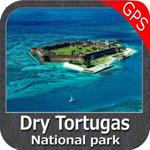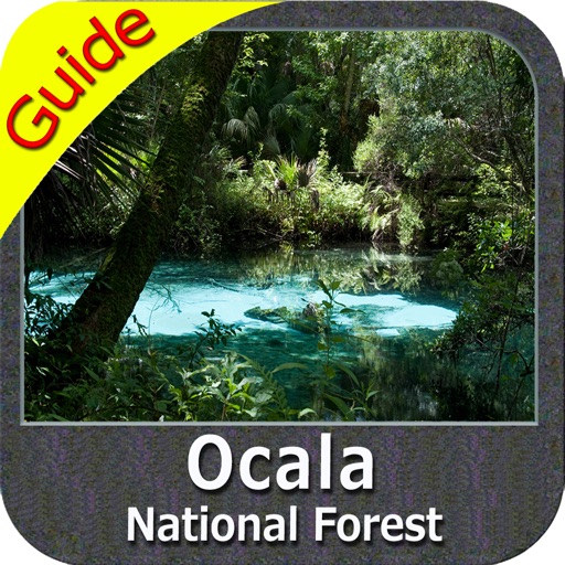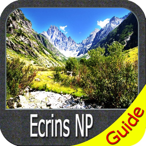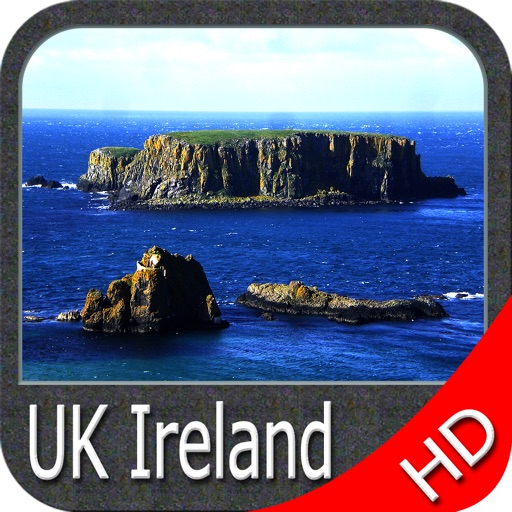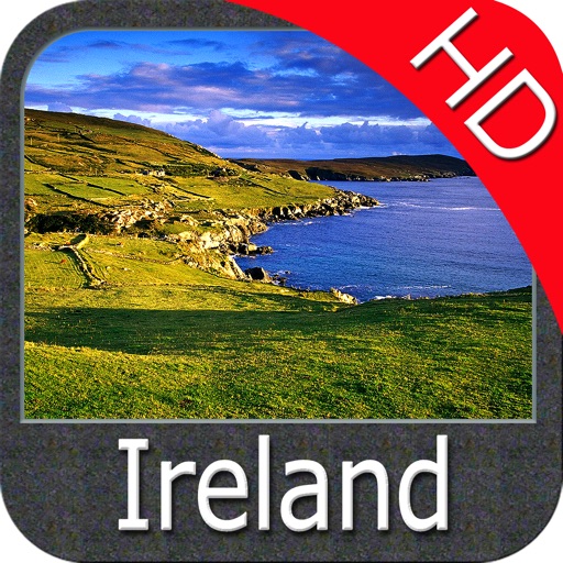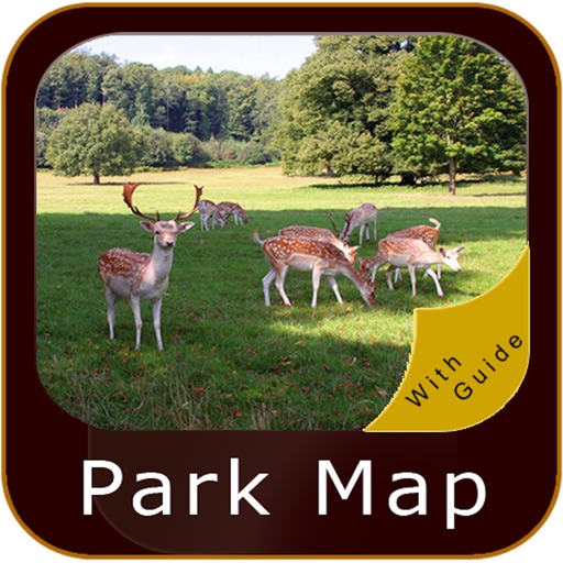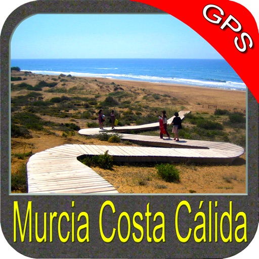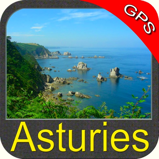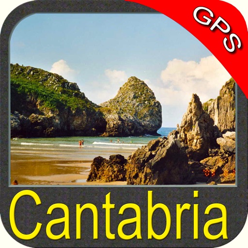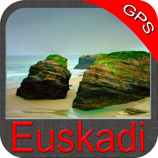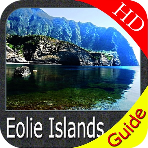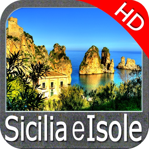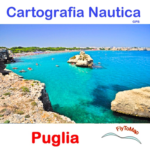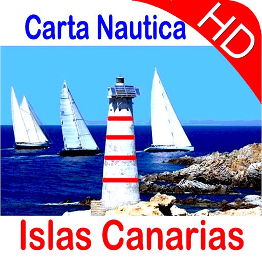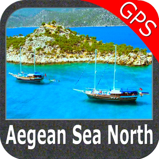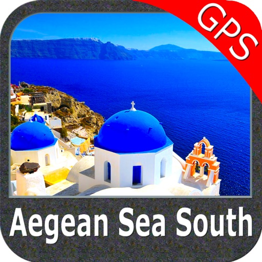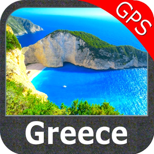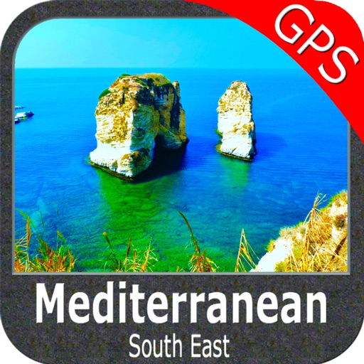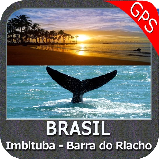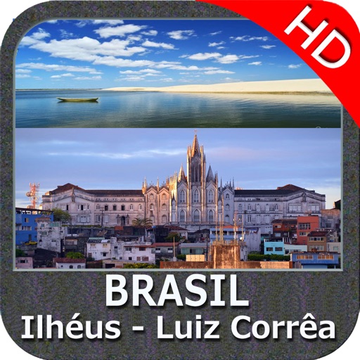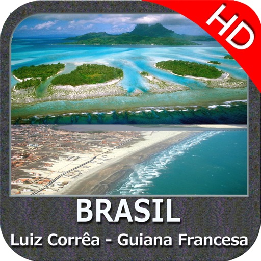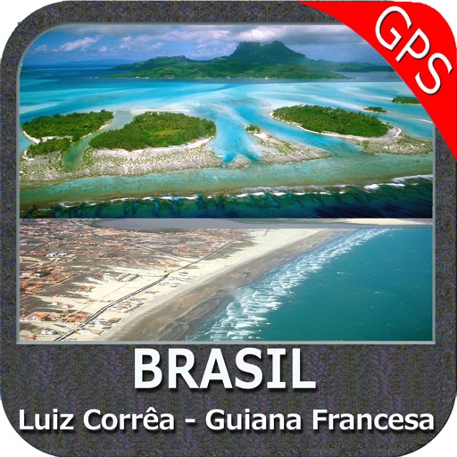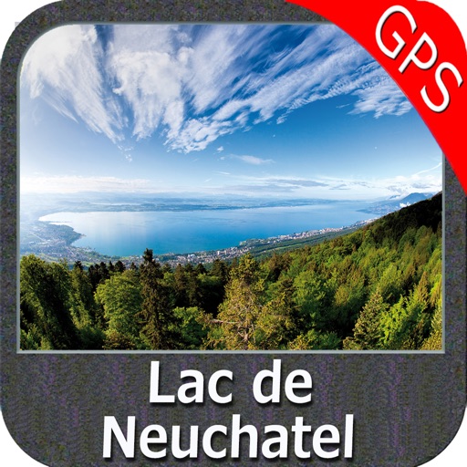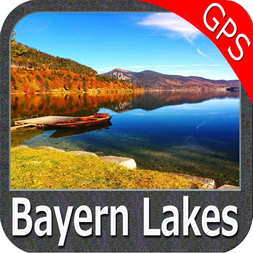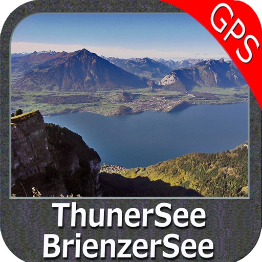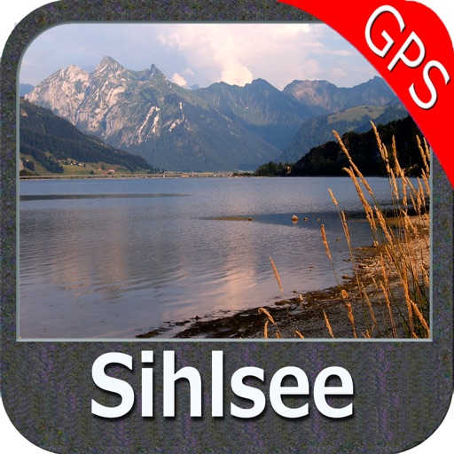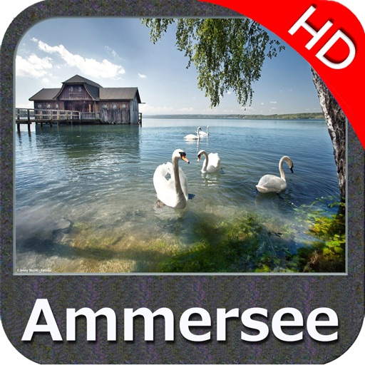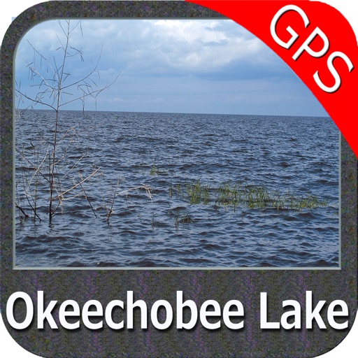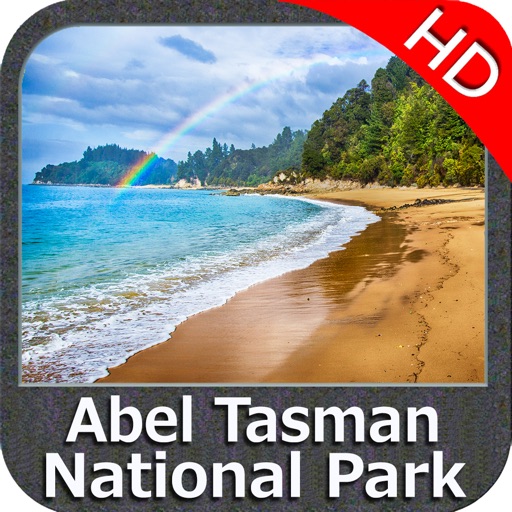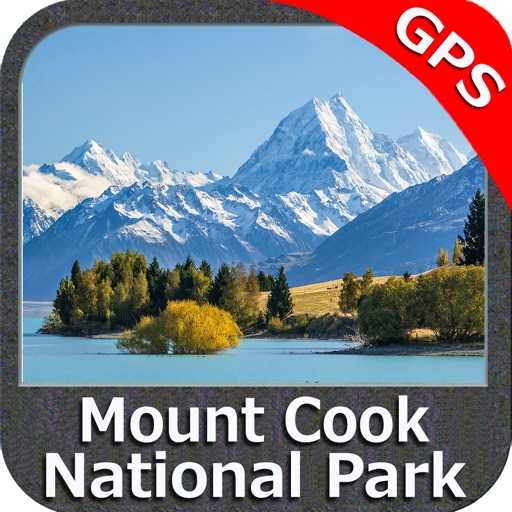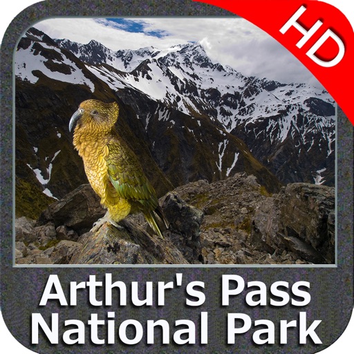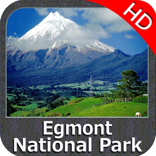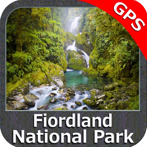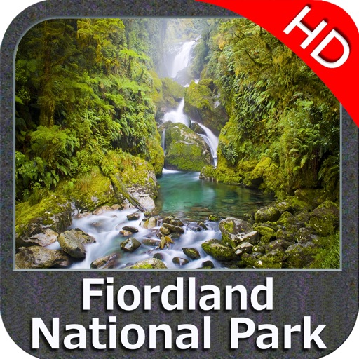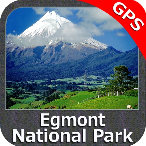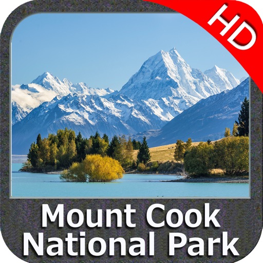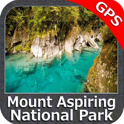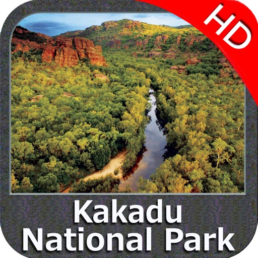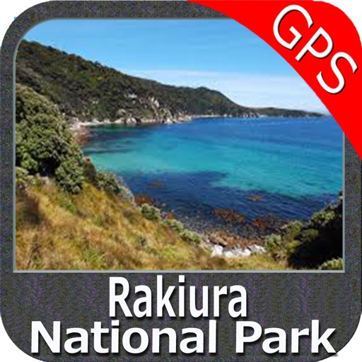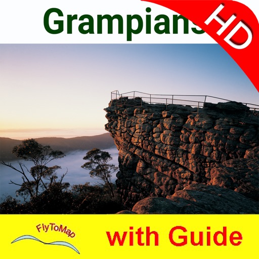

App Description
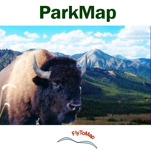
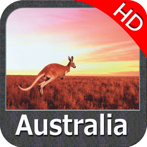
National Park:
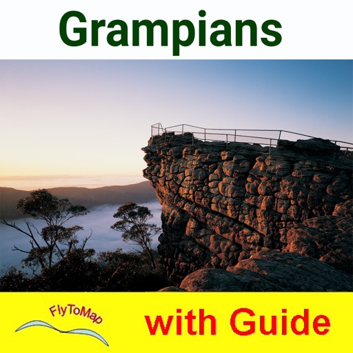
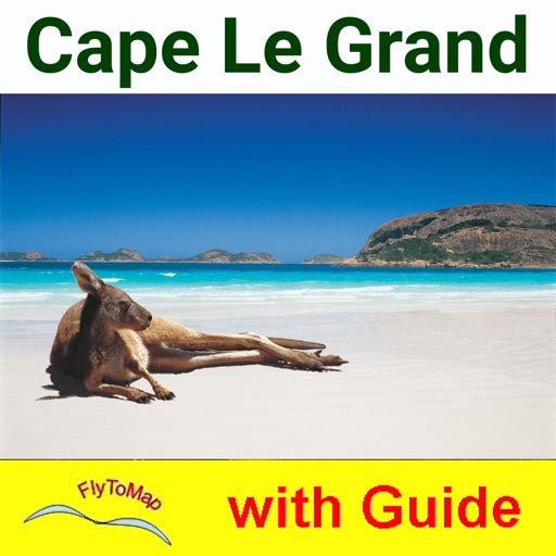
“Wild incredible coastal scenery, rugged granite peaks, and sweeping heath lands characterize Cape Le Grand National Park. Popular features in the park include attractive bays with wide sandy beaches set between rocky headlands.
Bays are home to a colony of friendly kangaroos which are often seen soaking up the sun.
Park also offers a great campsite and picnic area. With beachside views and tranquil atmosphere makes it the best and must visit park”
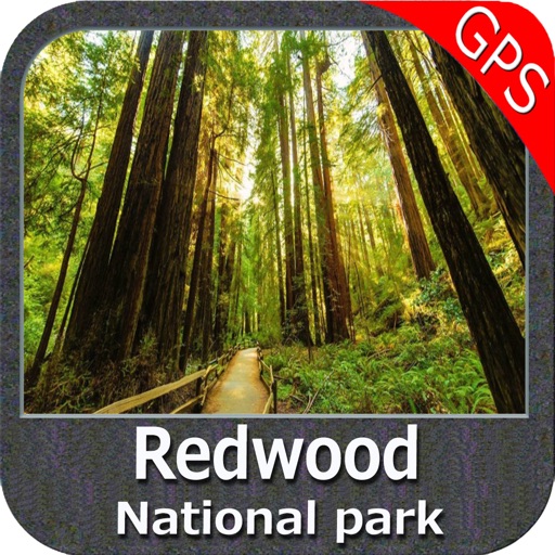
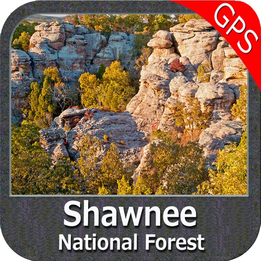
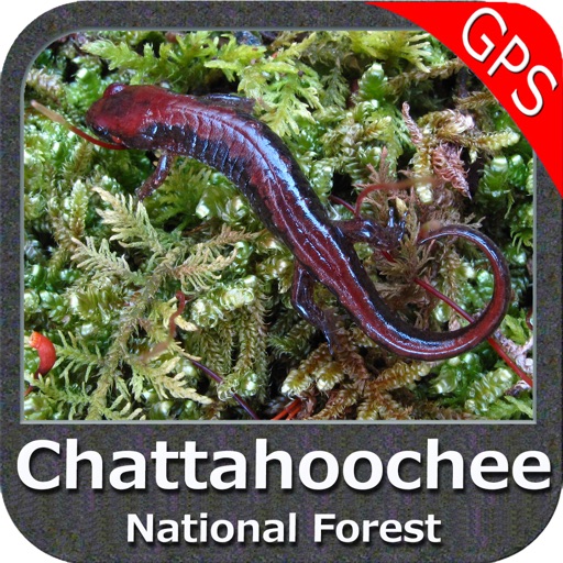
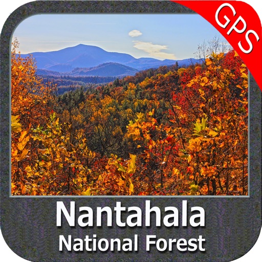
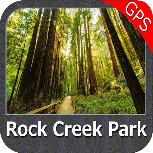
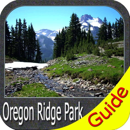
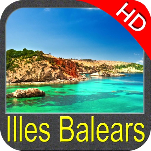
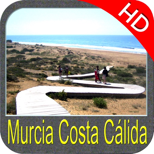
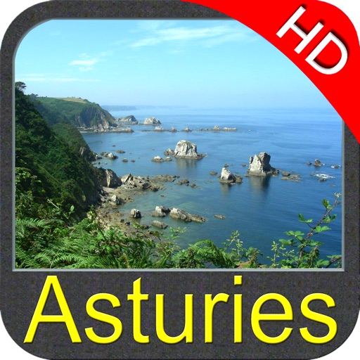
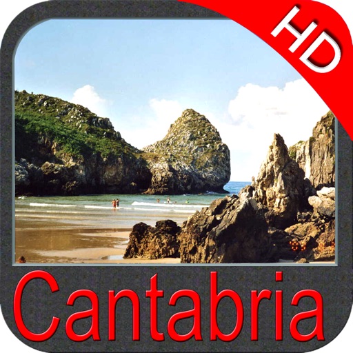
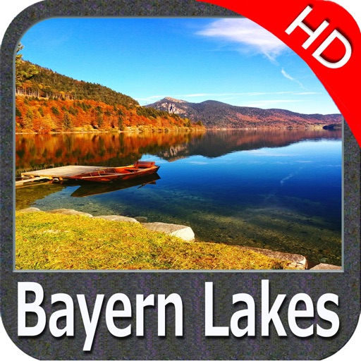
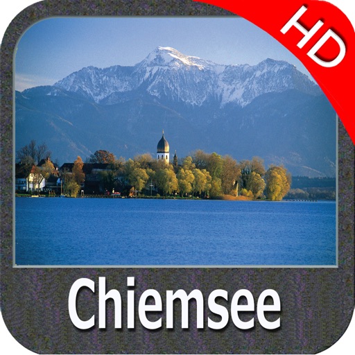
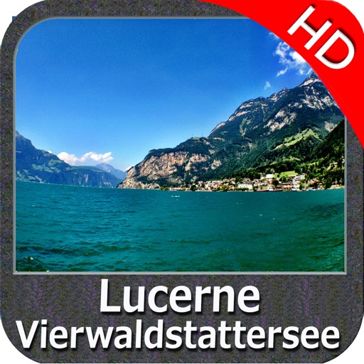
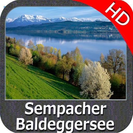
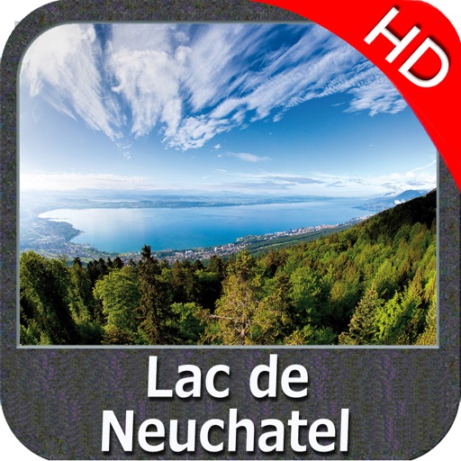
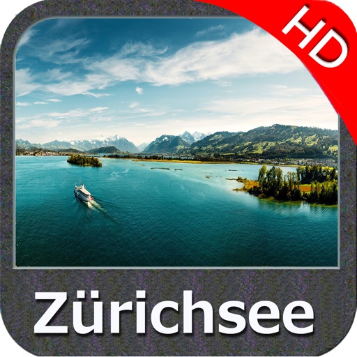
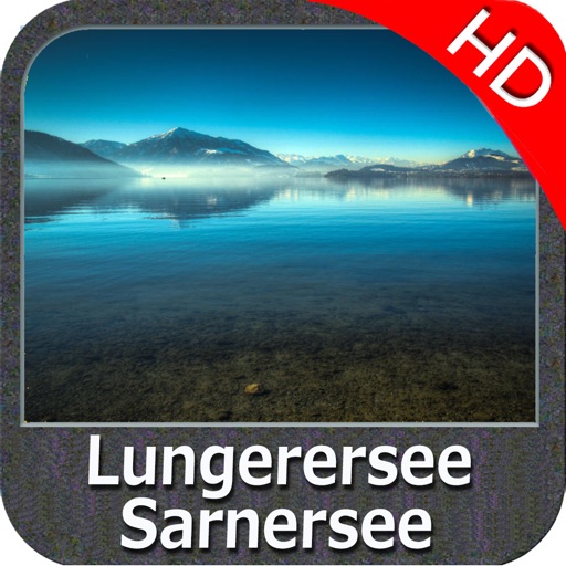
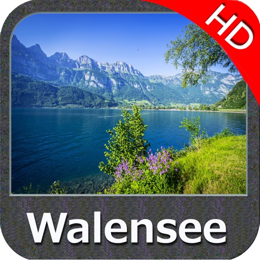
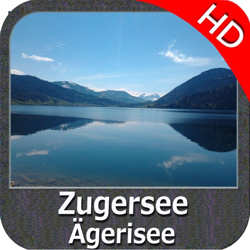
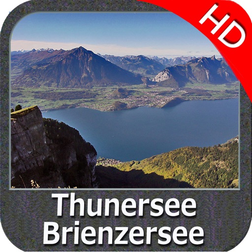
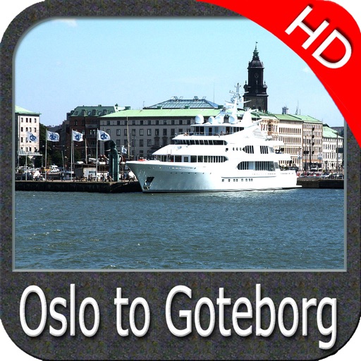
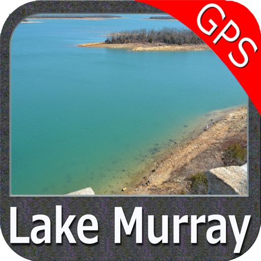
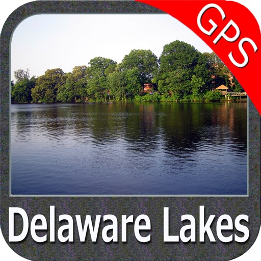
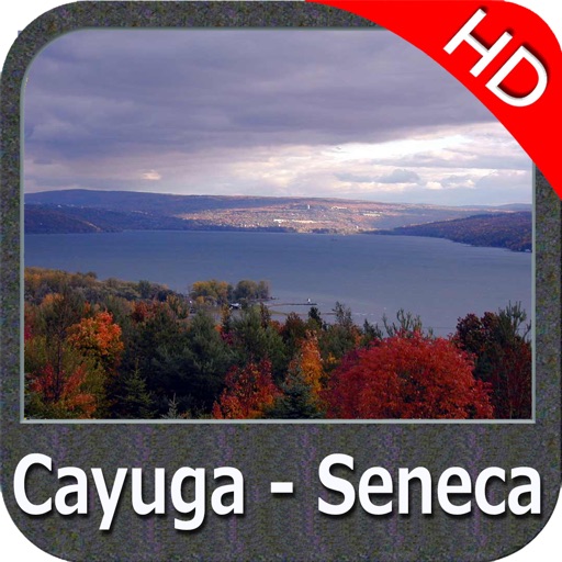
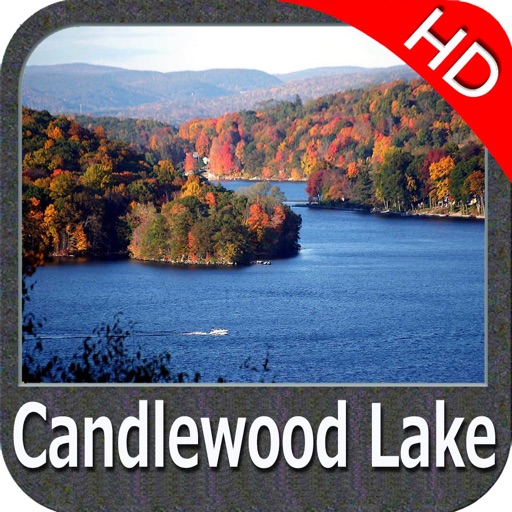
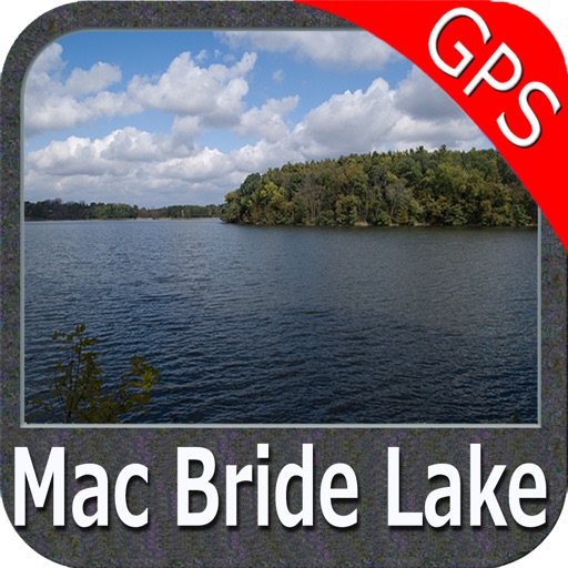
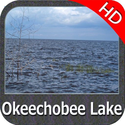
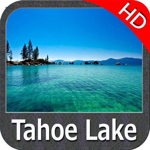
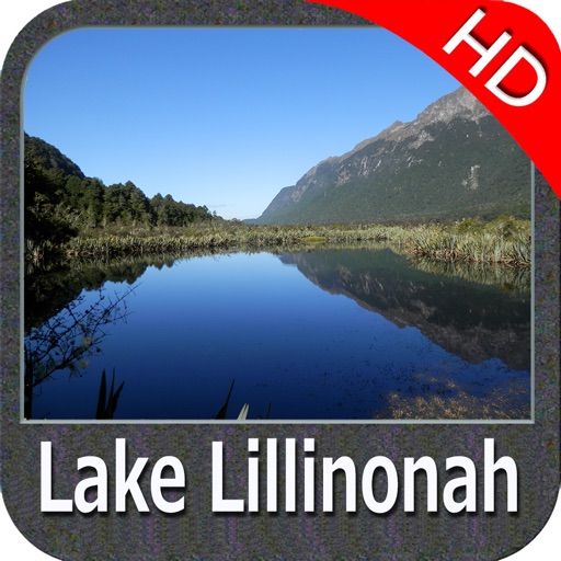
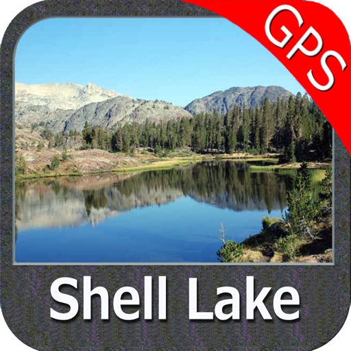
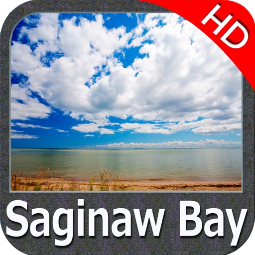
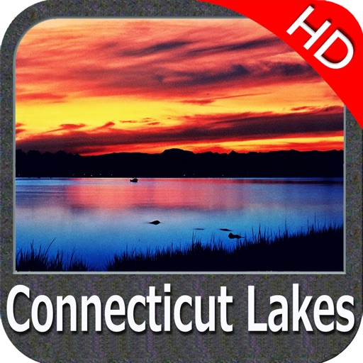
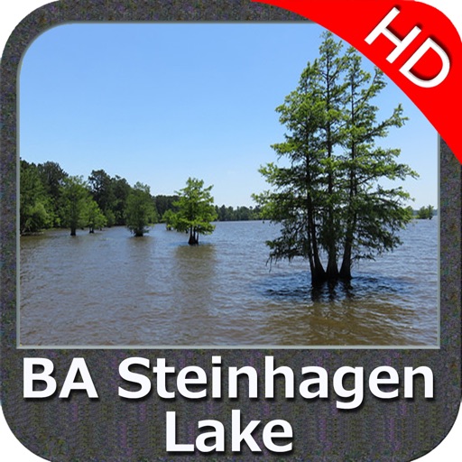
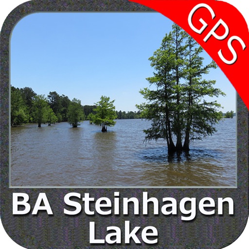
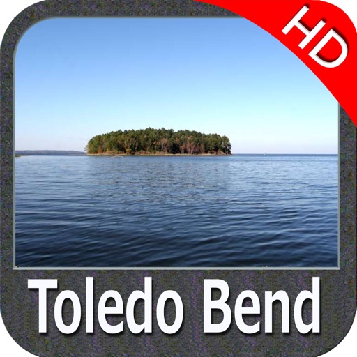
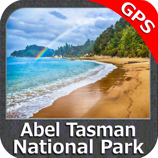
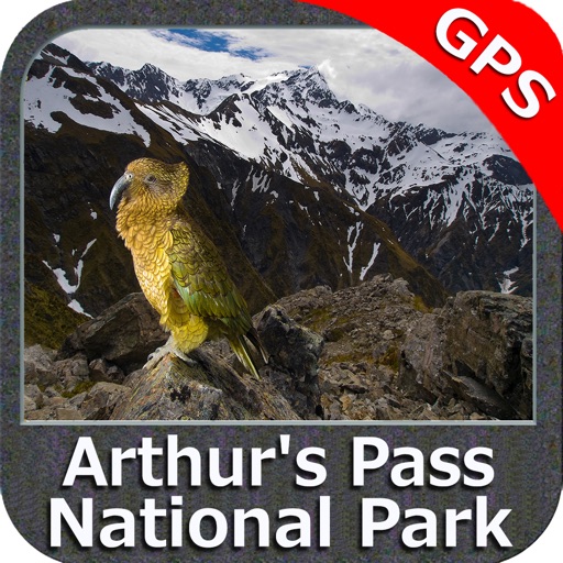
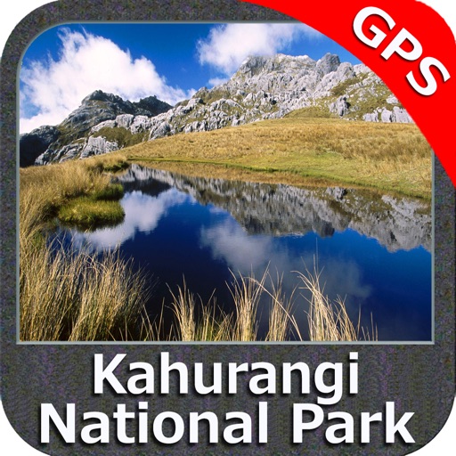
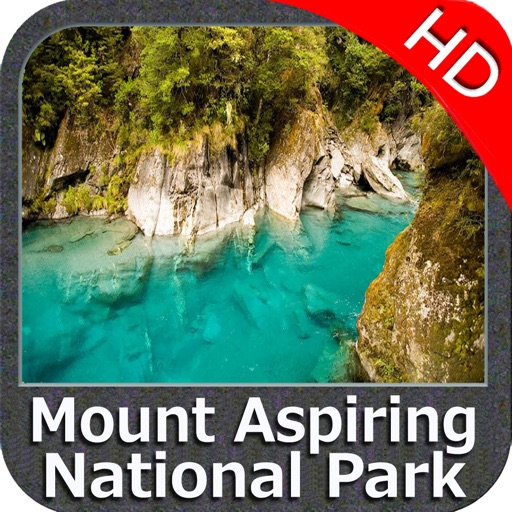
Park map applications are extremely advanced contains embedded electronic charts with all information collected from the National Park Service and local sources. The maps contain all multiple trails (Hiking, biking, Stairway trails, Bicycle trails, Equestrian trails etc.,) and Point of interests (POI) like Campgrounds, Eating places, Ranger Stations, Picnic areas, Boat/Canoe launching, Parking areas etc., which are provided depending on the relevant park areas they exists.
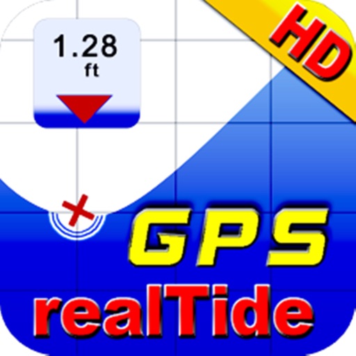
Use to Explore:
“Use Latitudes and Longitudes to go to your favorite places”
“Find Distance & Speed towards Destination”
“View Gps Position on Map”
“Insert Unlimited Markers”
“Search your Favorite points directly”
“Navigation Compass”
“Geo-Tagged photo management”
“Offline & Street Map”
“Set On/Off Elevation Contours”
And find more features inside the Map.
A Guide is also provided for user quick reference.
“Enjoy Great Voyages”
"Continued use of GPS running in the background can dramatically decrease battery life."
iPhone Screenshots
(click to enlarge)


App Changes
- February 05, 2016 Initial release
Other Apps From Flytomap