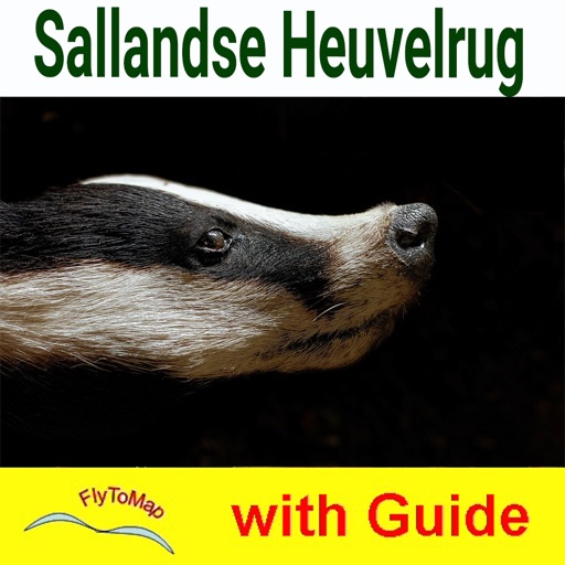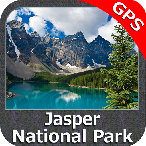

App Description
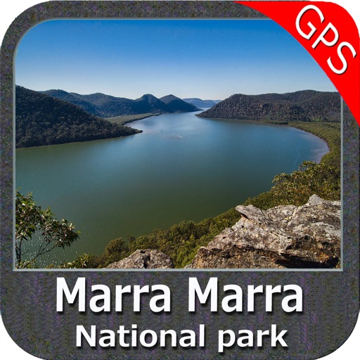
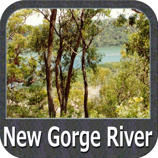
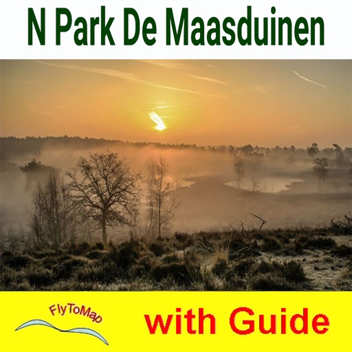
Mungkan Kaanju (Kandju) National Park is a wilderness park of open woodlands, swamps and rainforest. This park is a living cultural landscape, rich in significance for the native traditional owners. Go Fishing, Walking, Camping, and Wildlife Watching and go bird watching around water lily covered lagoons and forest fringed river banks.
Park map application is extremely advanced contains embedded electronic charts with all information collected from the National Park Service and local sources.
The maps of FlytoMap contain all multiple trails (Hiking, biking, Stairway trails, Bicycle trails, Equestrian trails etc.,) and Point of interests (POI) like Campgrounds, Eating places, Ranger Stations, Picnic areas, Boat/Canoe launching, Parking areas etc., which are provided depending on the relevant park areas they exists.
“Covers all Trails, Lakes and Rivers within the Parks”
“Covers complete park boundary from (NPS)”
“Elevation Contours with 10 meters interval”
“Mountain Summits”
“All Roads and Railways”
Explore:
“Find Favorites using Lat-Lon”
“Insert Target Waypoint & Find Distance, Angle, Speed, Direction”
“Navigation Compass”
“User Guide”
“Insert Unlimited Markers”
“GPS position on the map”
“Geo-Tagged photo management”
“Set On/Off Elevation Contours if you feel data is cluttering”
……………….More…
Every effort is made to be as accurate as possible when presenting information for every destination.
“Have a Great Journey"
"Continued use of GPS running in the background can dramatically decrease battery life."
iPhone Screenshots
(click to enlarge)


App Changes
- February 03, 2016 Initial release
Other Apps From Flytomap