
What's New
GUI re-designed - better usability and clarity
New Aerial Images
Now with Topo charts
New Feature! Flytomap boaters joined the ActiveCaptain
MOB - Man Over Board feature added
Lanscape full chart is now available
Weather info - portrait
Universal App, it works on all iOS devices
Bug fixing and optimizations
Performance Improvement
Local Weather added
Fast chart loading and redraw speed
Intuitive Object Info at finger touch
Flytomap World Wide Viewer update, new parks and travel areas now available!
World Wide Weather feature minor improvement
App Description
“Download any FlytoMap application for Free! By purchasing FlytoMap All-in-One App.”
!! Watch "Flytomap GPS" app video on www.appreview.com and www.youtube.com !!
* New in this Map: “GPS Info Page “
FlytoMap provides complete, quick and easy to use map applications for navigation for iphone. Continues in the tradition of offering depth of information and functionality across expected places all over the world, exploring the map you get maximum details obtaining detailed information of each object on the map.
Use to Explore:
“Use Latitudes and Longitudes to go to your favorite places”
“Insert the target/destination ‘Waypoint’ and see in real time your speed, distance and direction to destination”
“Insert Unlimited Markers near favorite places on the map”
“Search your Favorite points directly”
“Zoom, Rotate and Pan fast just by a finger touch”
“Navigate and see your GPS position on the map”
“Geo-Tagged photo management”
“Set On/Off Elevation Contours if you feel data is cluttering”
FlytoMap processes different types of maps for navigation for different categories:
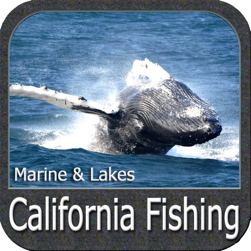
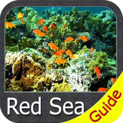
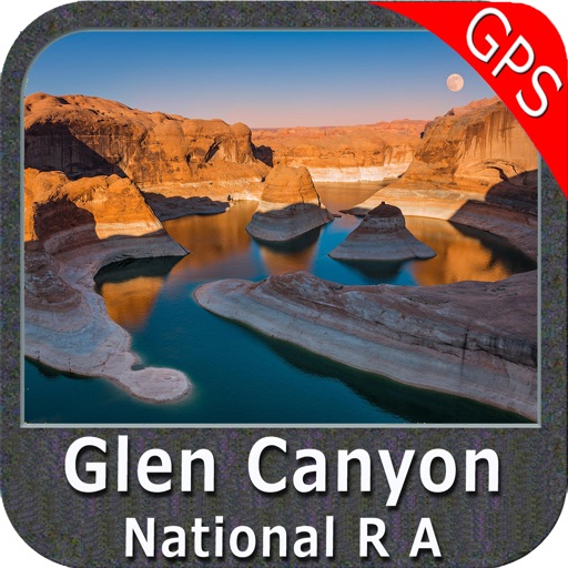
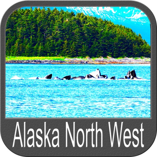
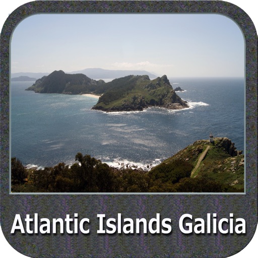
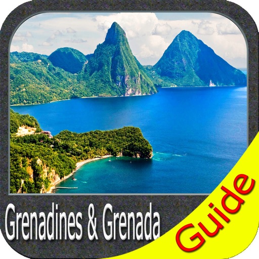
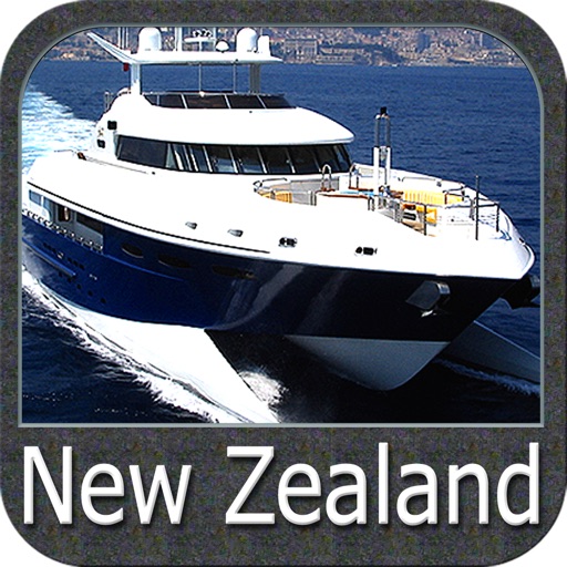
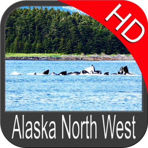
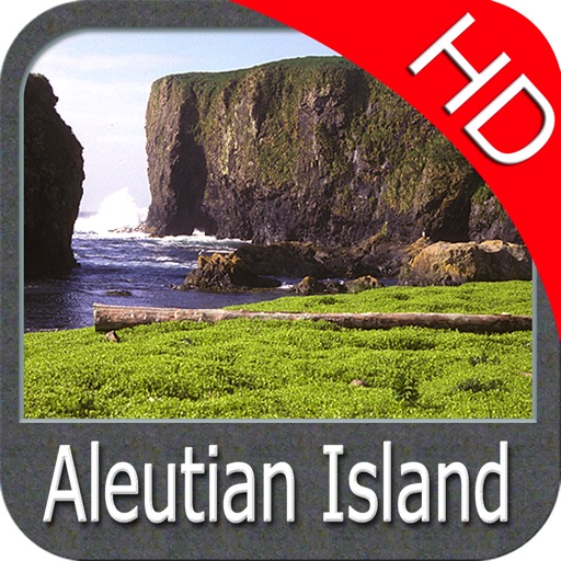
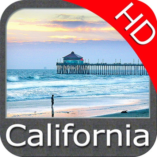
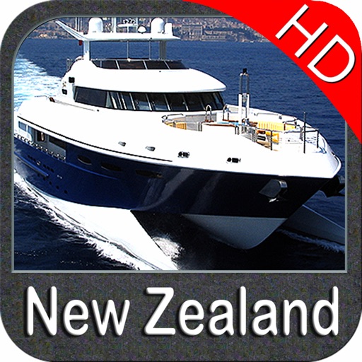
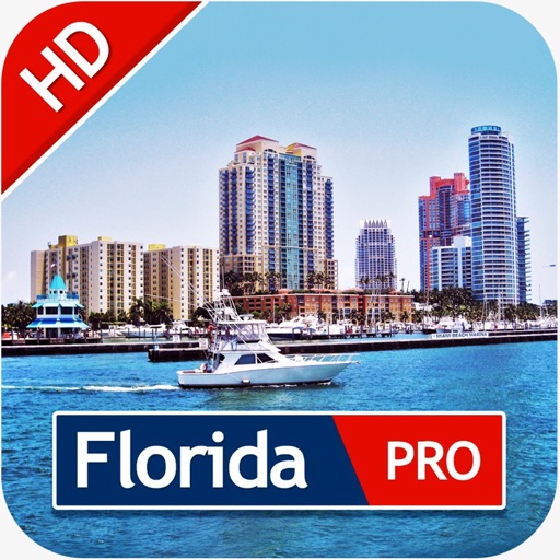
WATER MAPS (Marine):
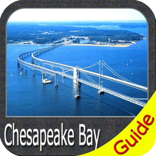
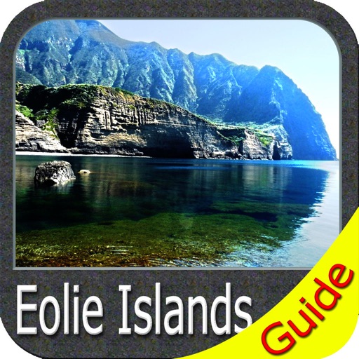
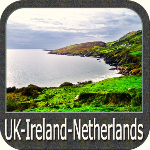
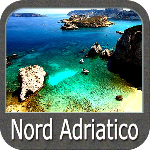
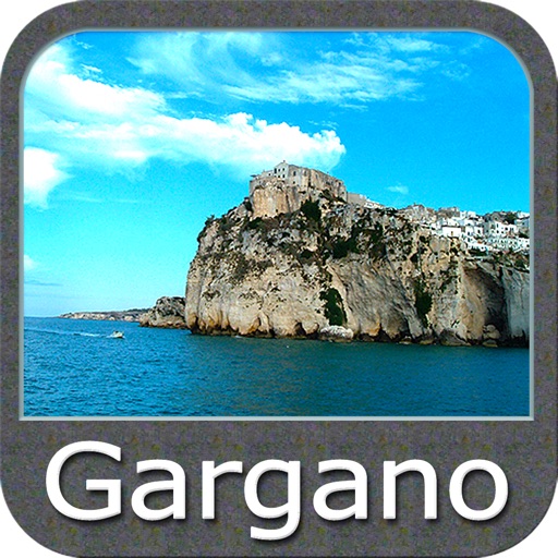
Water map navigator is the new ‘Marine Navigator for iPhone’ contains embedded Electronic Nautical Charts (ENC) from NOAA compressed to a large coverage. You can now download the application and transform your iPhone in a chart plotter with best NOAA, ENC S57 cartography; which includes Anchoring areas, Fishing areas, restriction areas, obstructions, rocks, Buoys, Beacons, Lights, Depth contours with Values display on map, Spot Soundings and more. The only marine app’s available in the market with such huge information. Every effort is made to be as accurate as possible when presenting information for every destination.
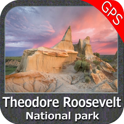
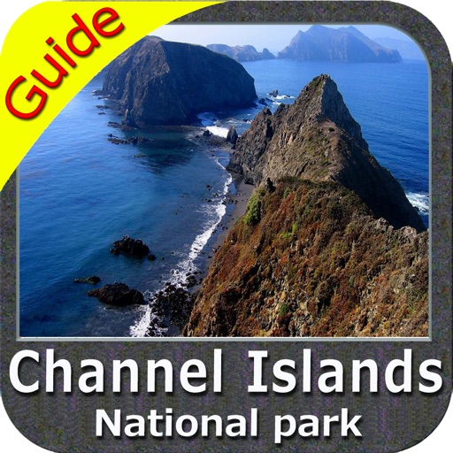
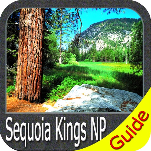
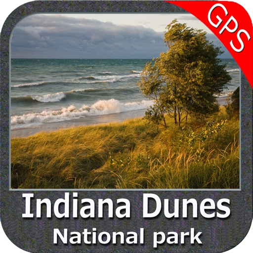
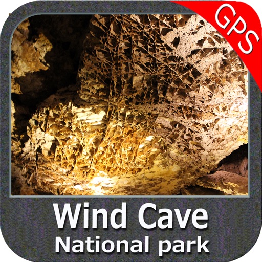
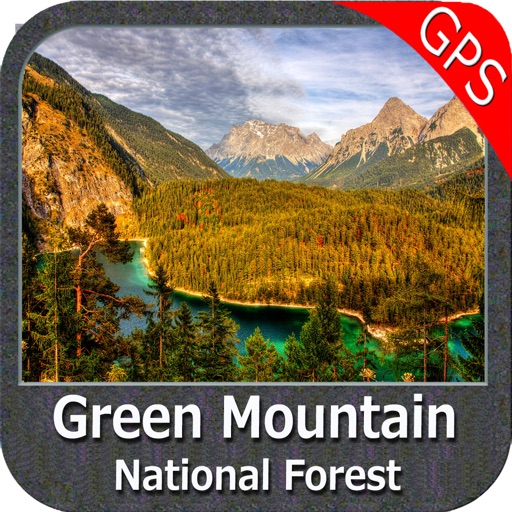
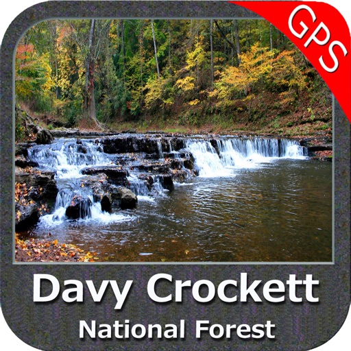
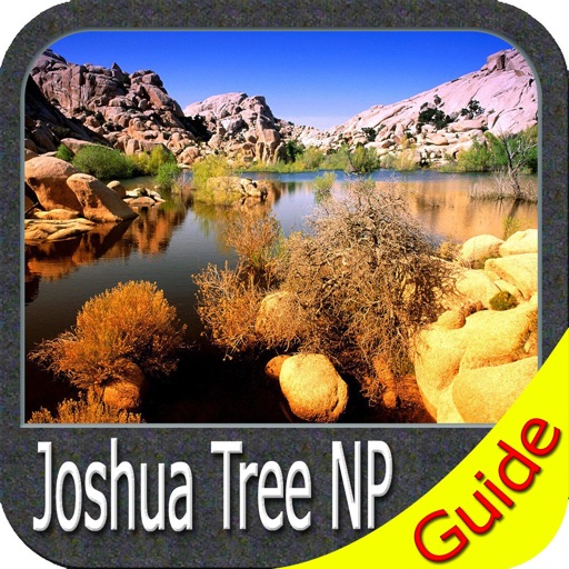
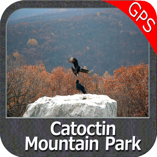
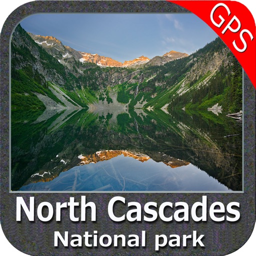
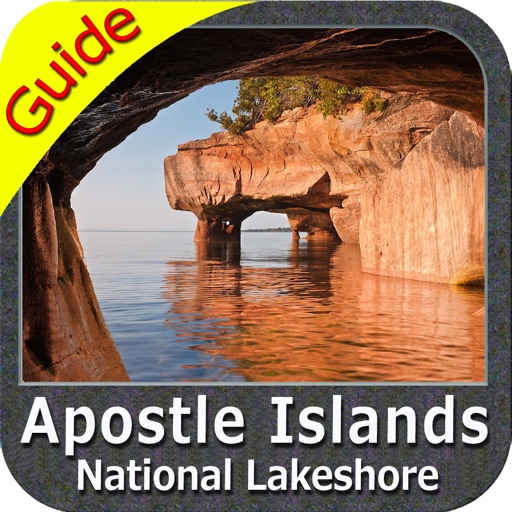
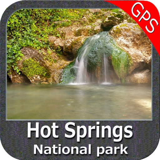
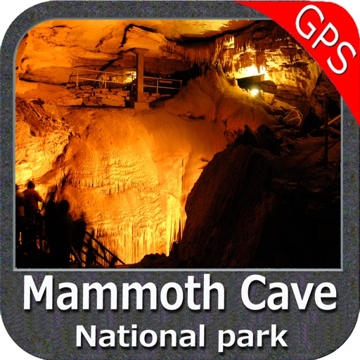
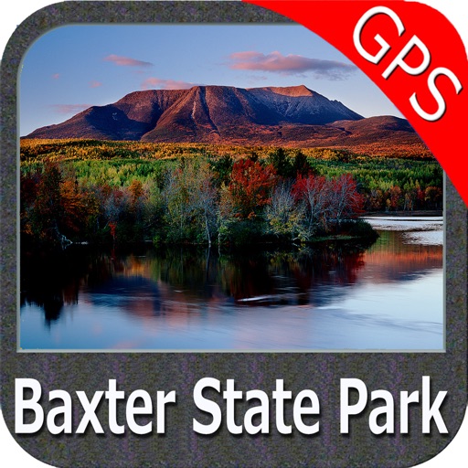
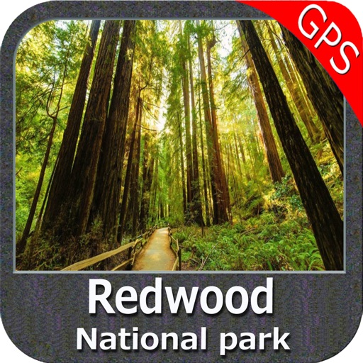
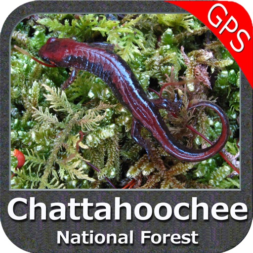
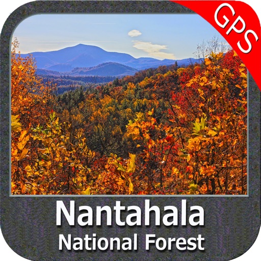
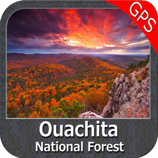
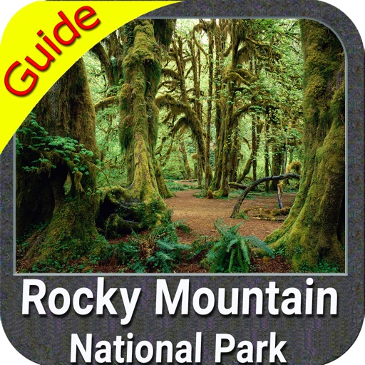
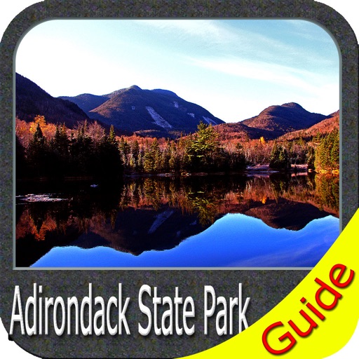
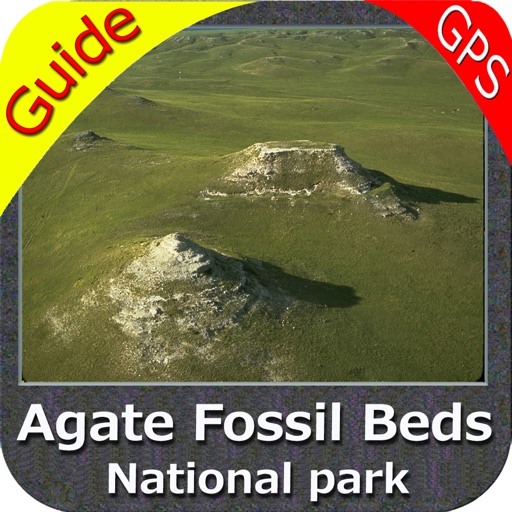
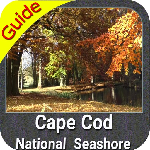
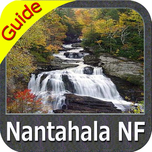
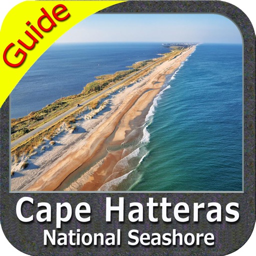
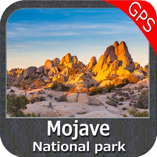
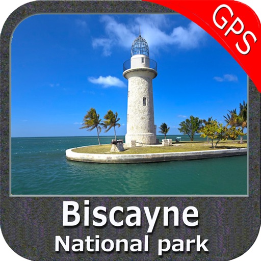
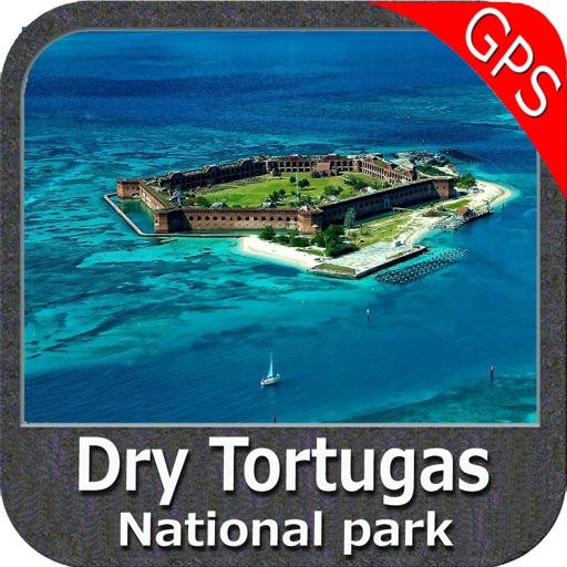
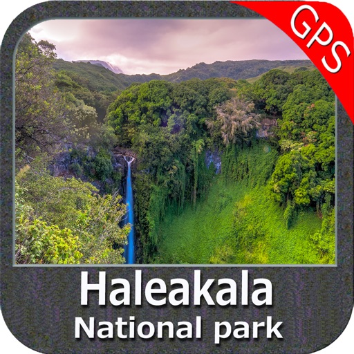
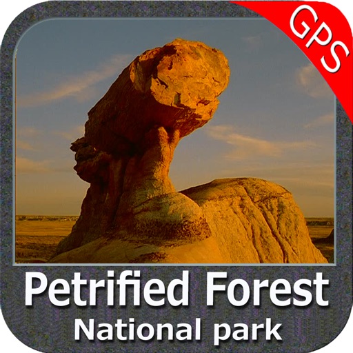
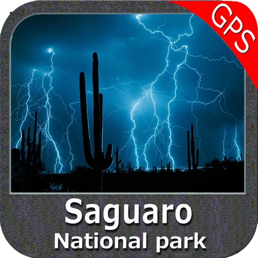
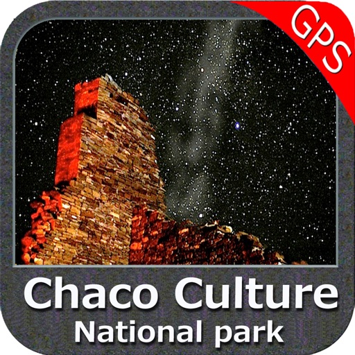
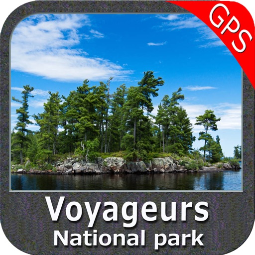
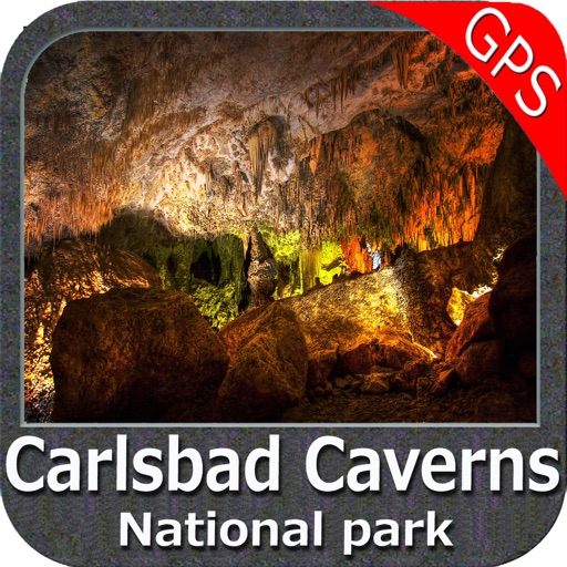
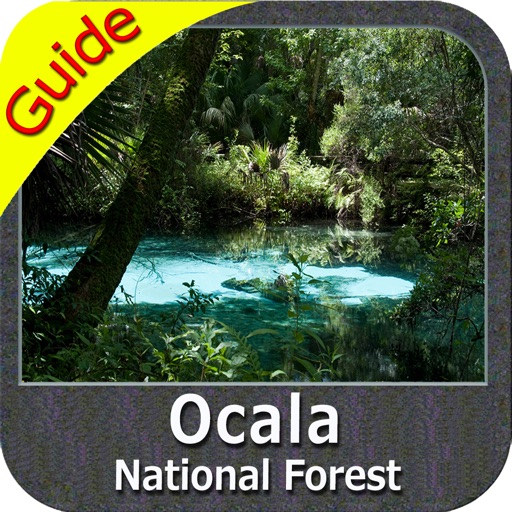
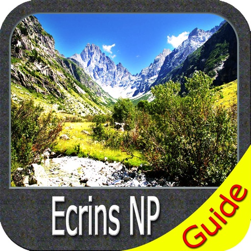
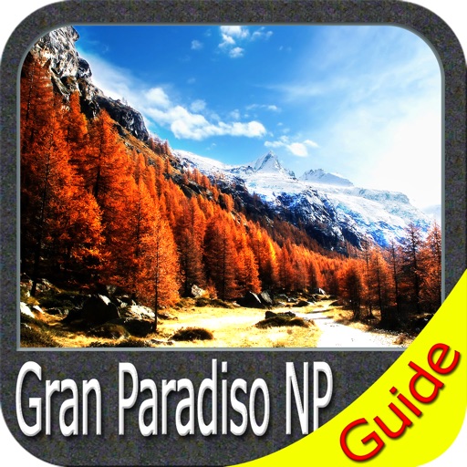
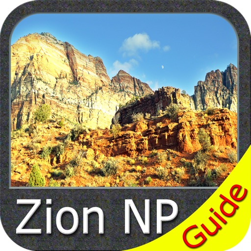
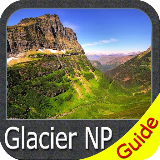
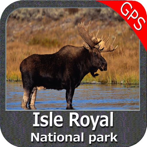
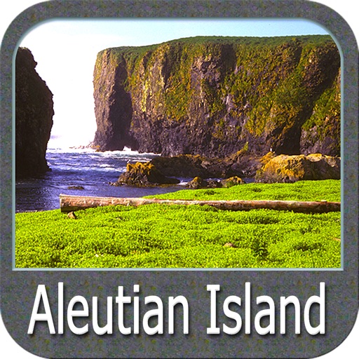
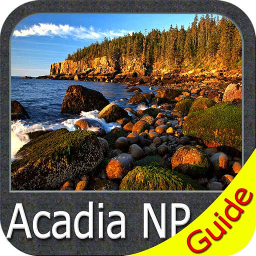
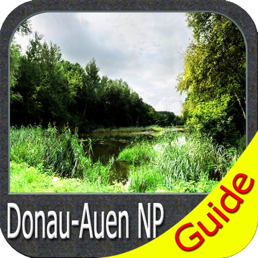
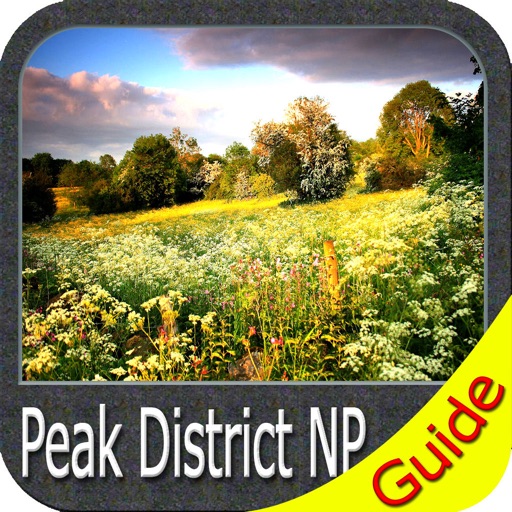
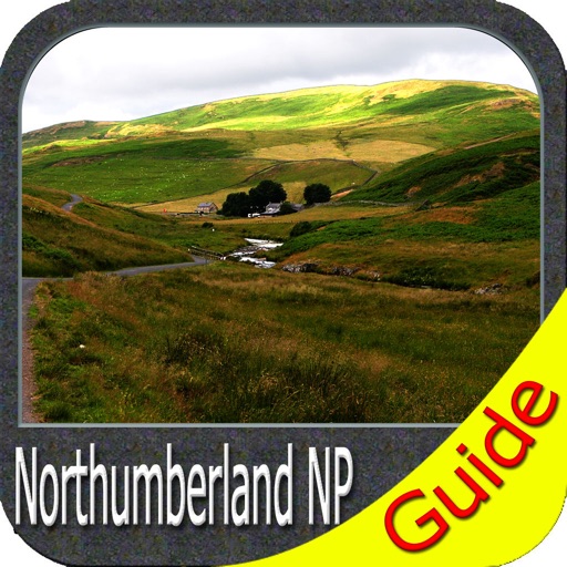
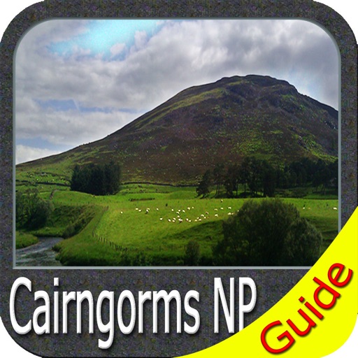
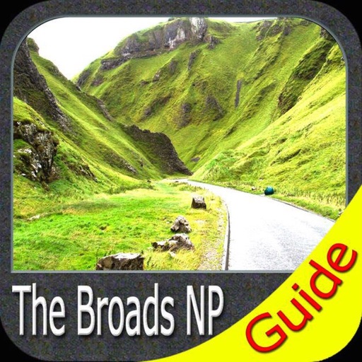
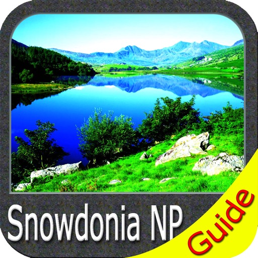
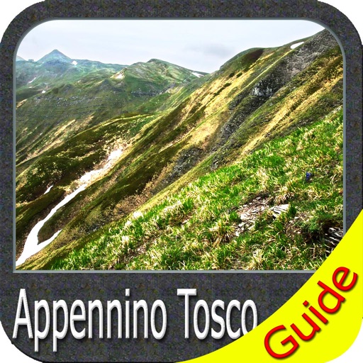
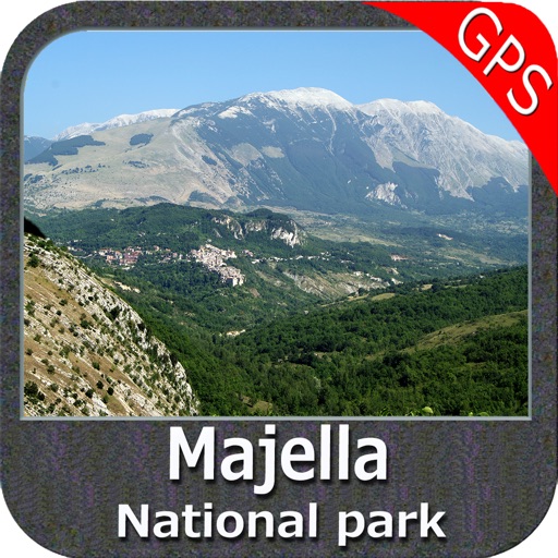
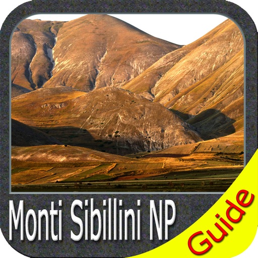
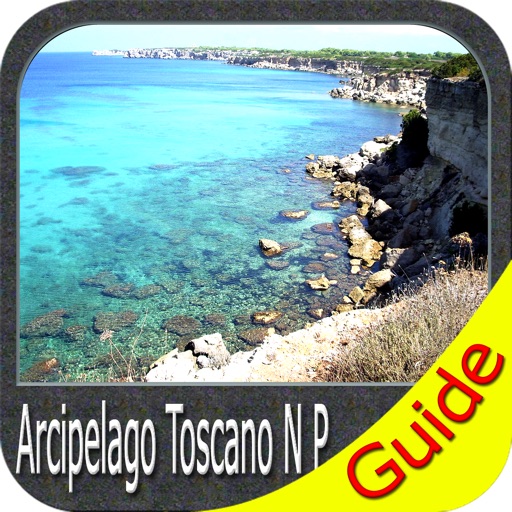
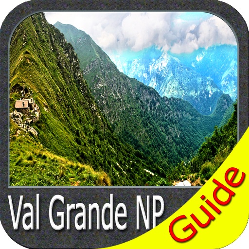
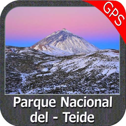
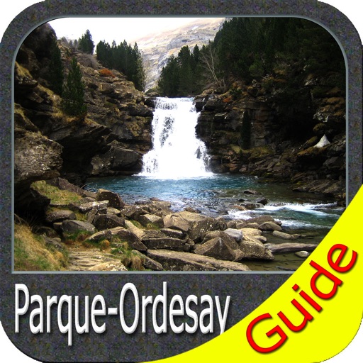
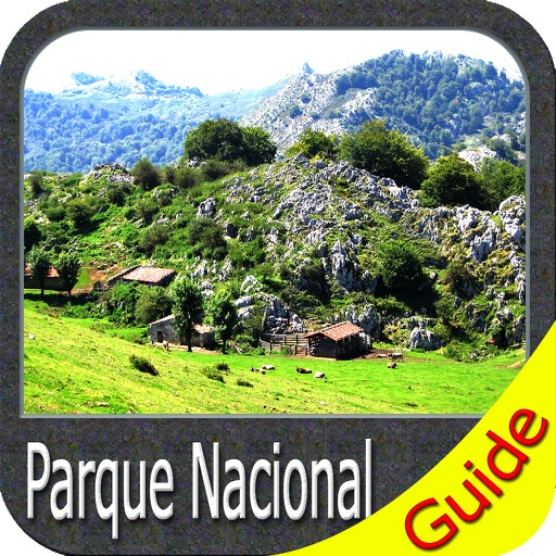
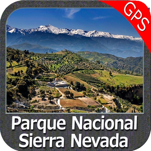
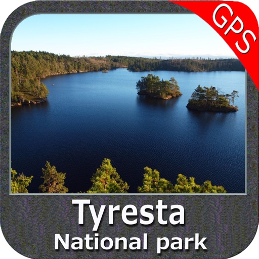
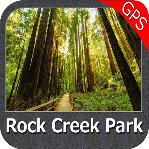
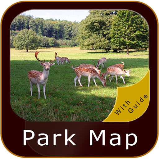
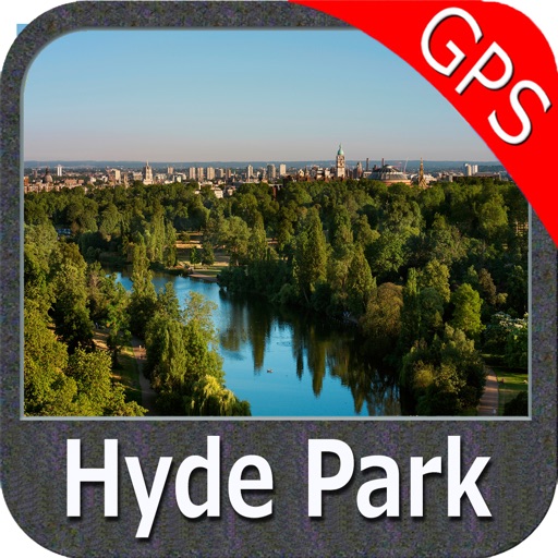
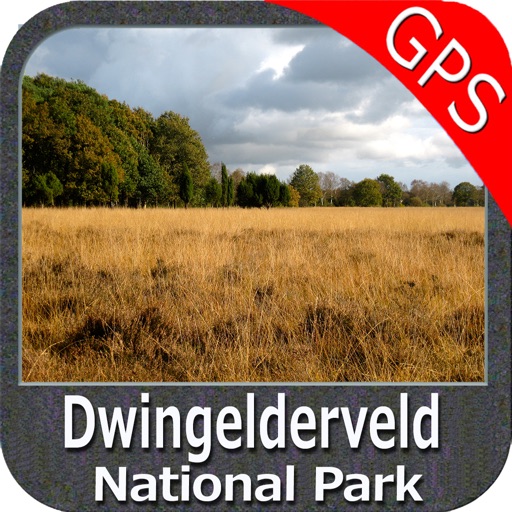
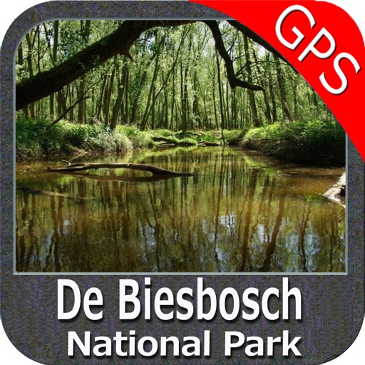
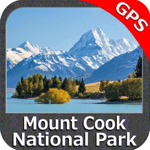
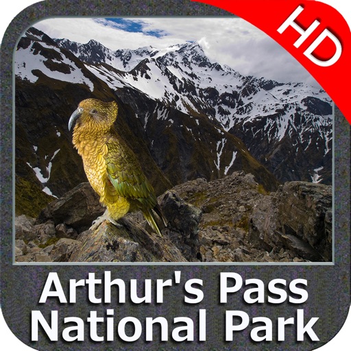
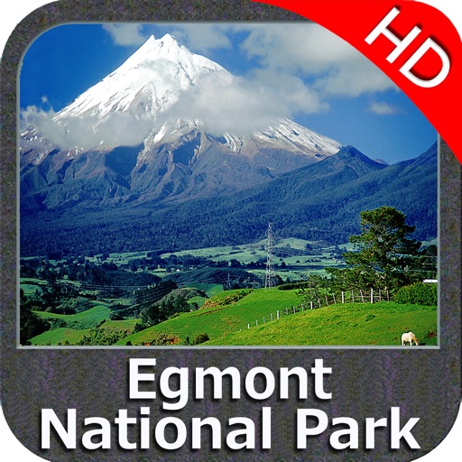
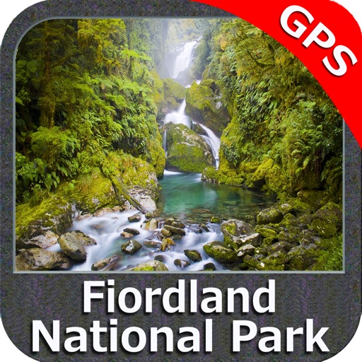
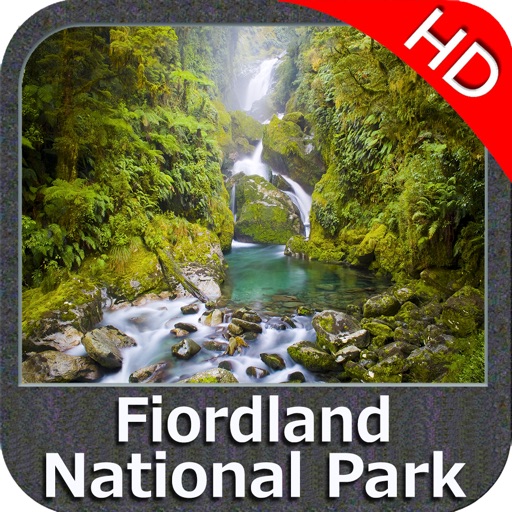
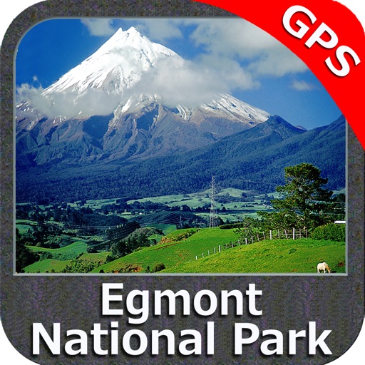
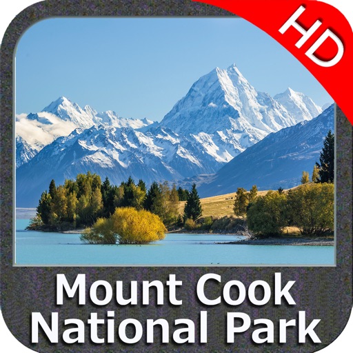
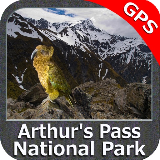
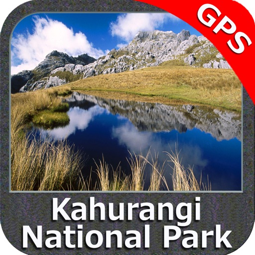
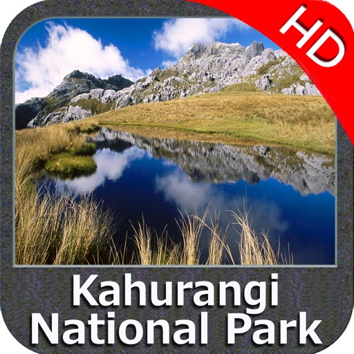
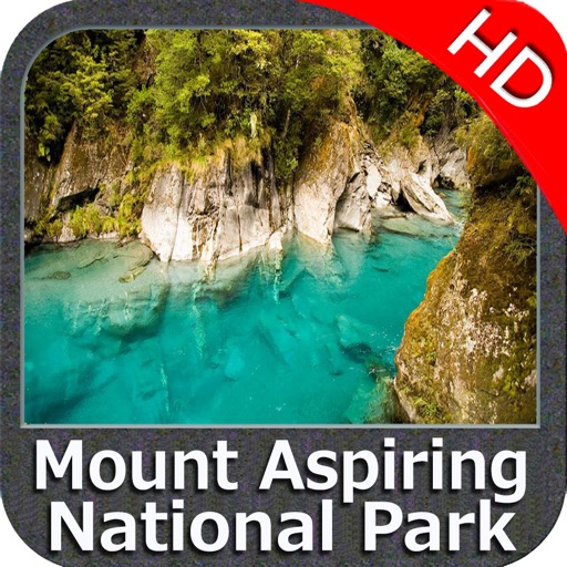
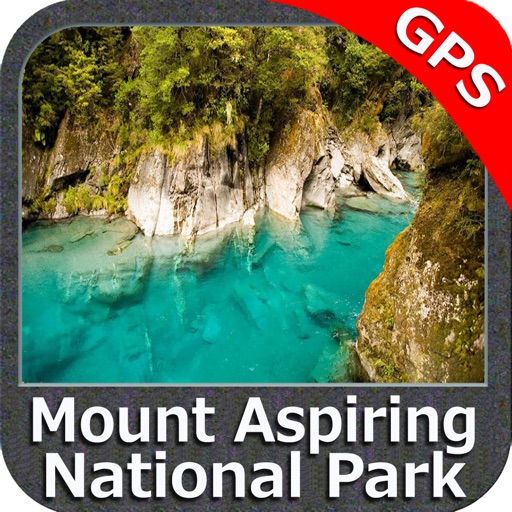
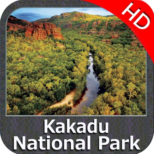
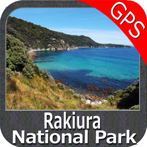
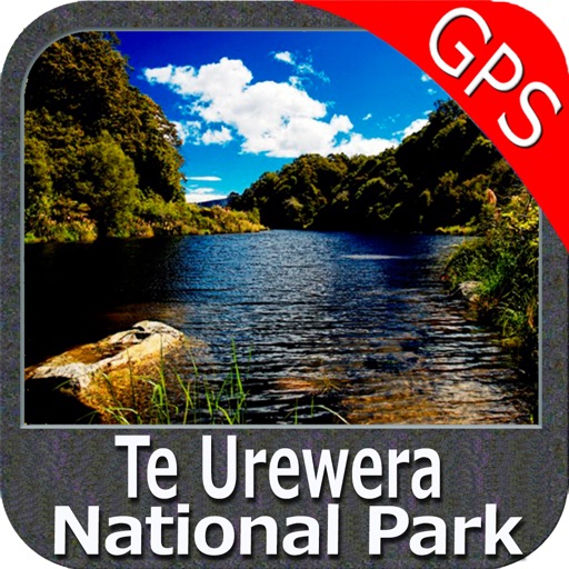
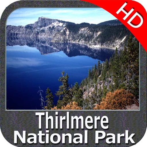
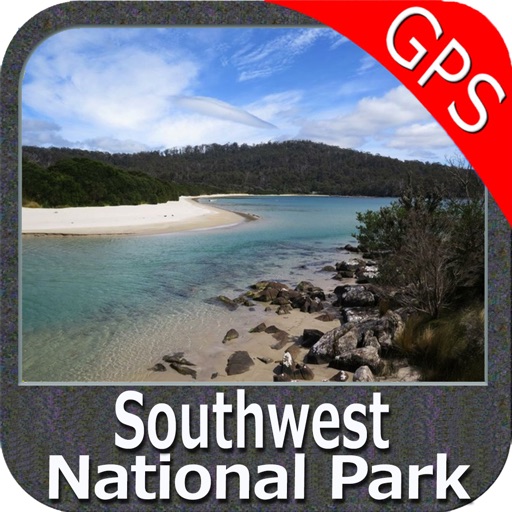
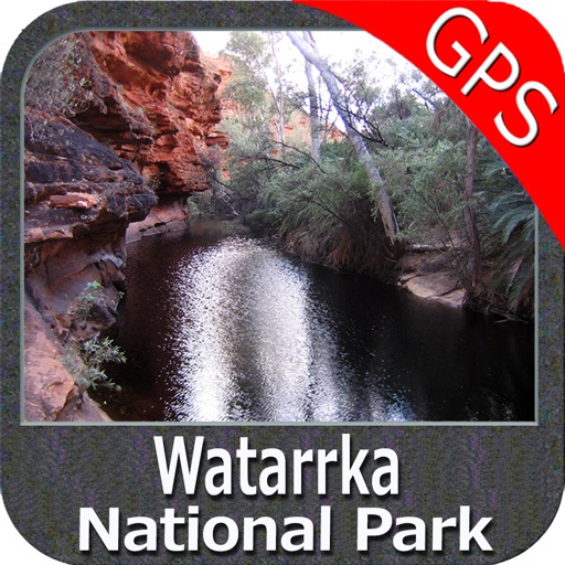
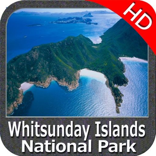
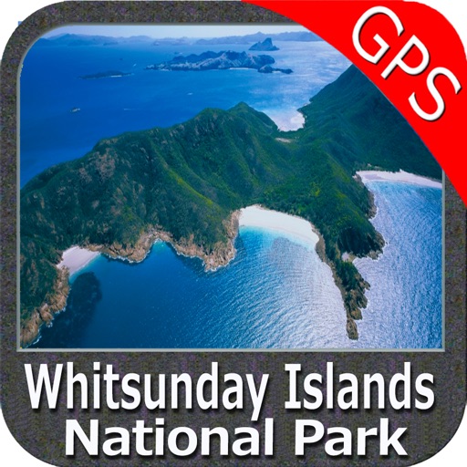
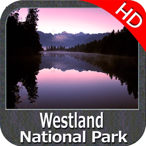
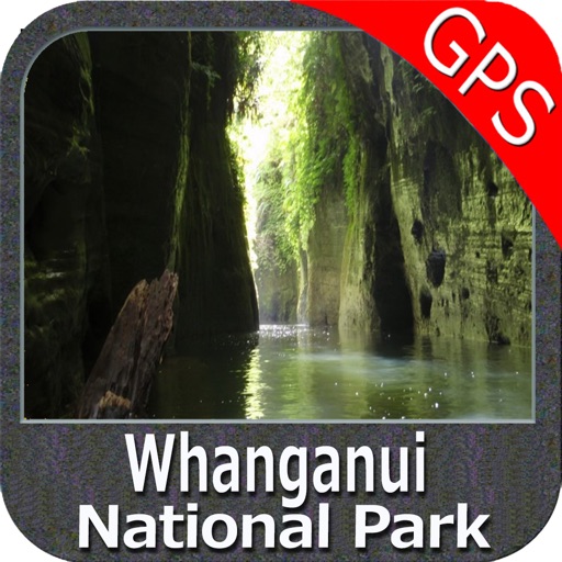
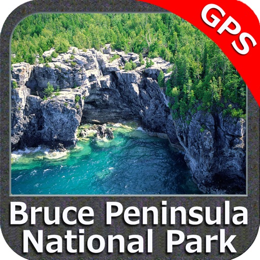
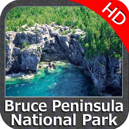
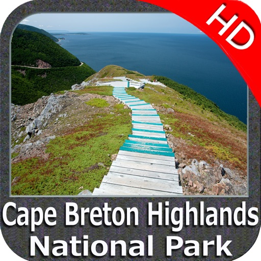
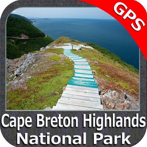
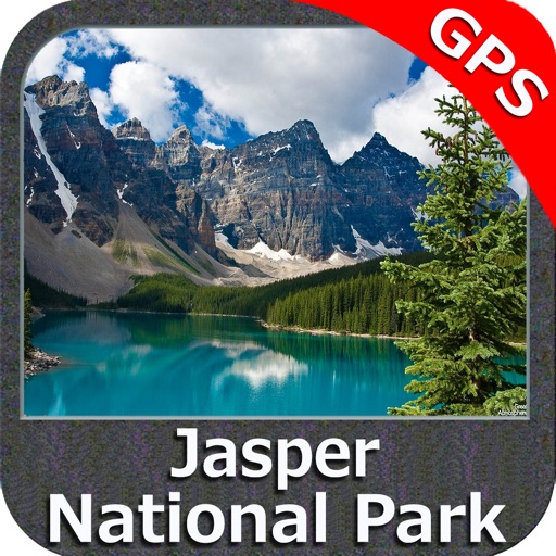
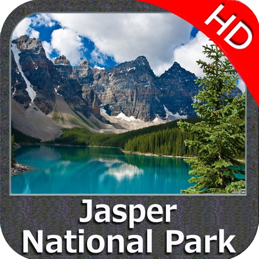
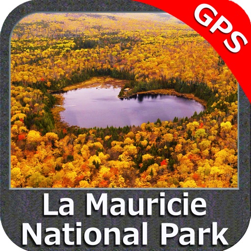
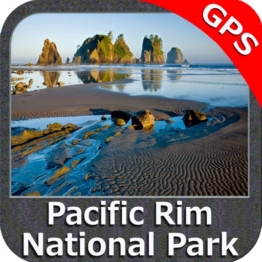
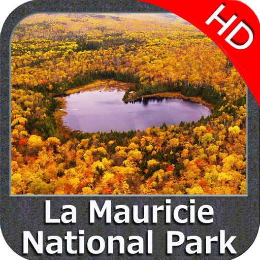
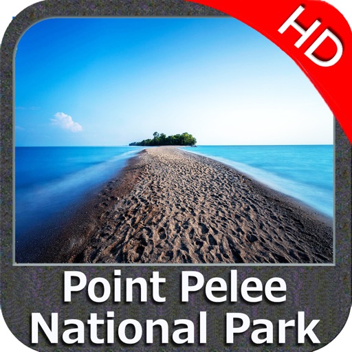
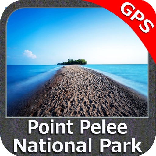
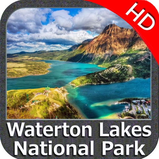
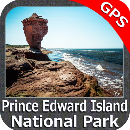
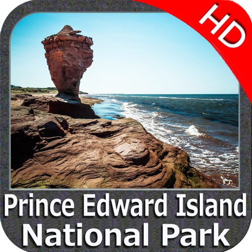
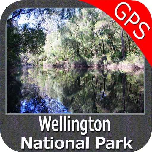
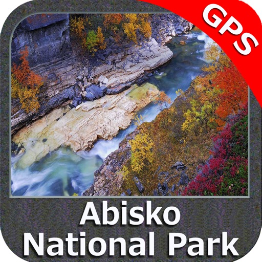
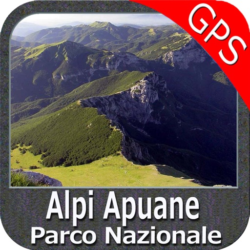
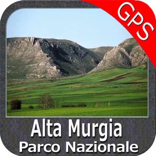
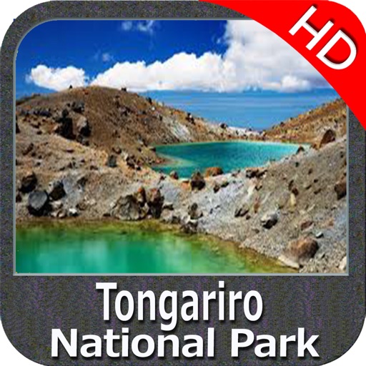
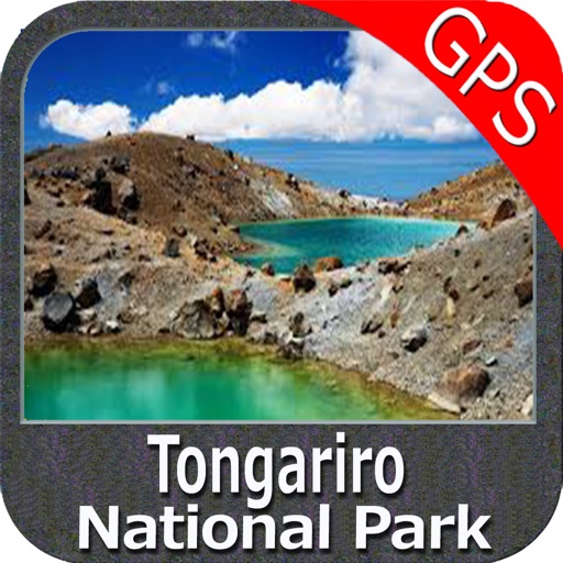
PARK MAPS:
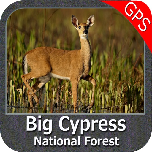
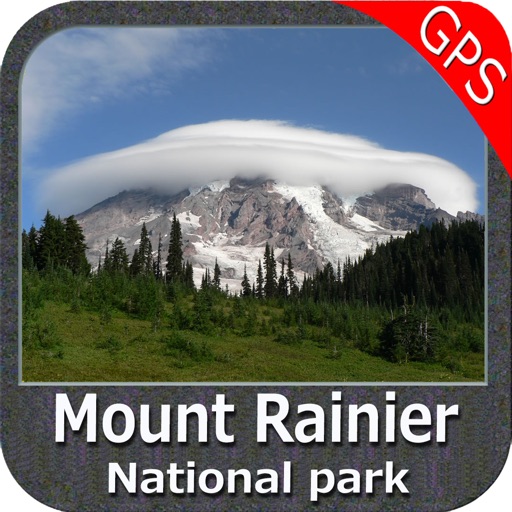
Park map applications are extremely advanced contains embedded electronic charts with all information collected from the National Park Service and local sources. The maps contain all multiple trails (Hiking, biking, Stairway trails, Bicycle trails, Equestrian trails etc.,) and Point of interests (POI) like Campgrounds, Eating places, Ranger Stations, Picnic areas, Boat/Canoe launching, Parking areas etc., which are provided depending on the relevant park areas they exists.
“Covers all Trails, Lakes and Rivers within the Parks”
“Covers complete park boundary from (NPS)”
“Elevation Contours with 10 meters interval”
“Mountain Summits”
“All Roads and Railways from TIGER”
Introducing guide in map navigator for easy references, you can use it without any Active Internet connection!
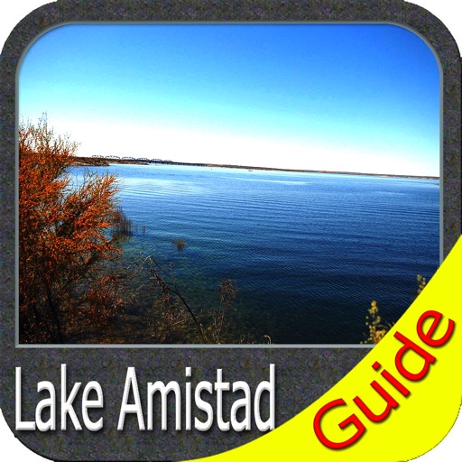
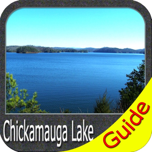
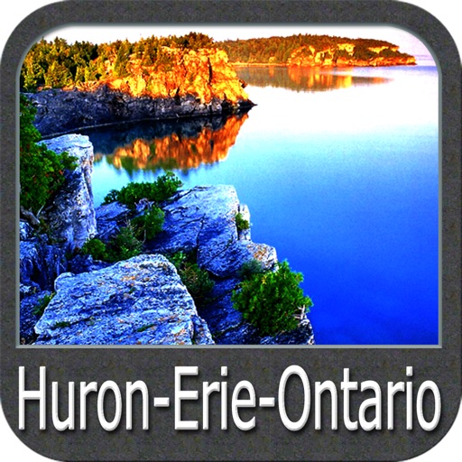
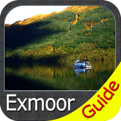
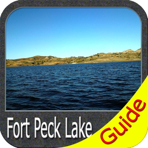
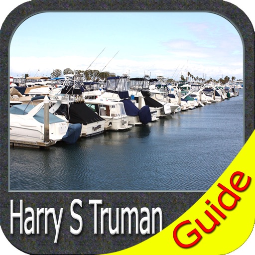
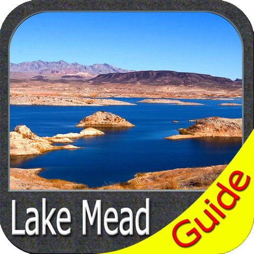
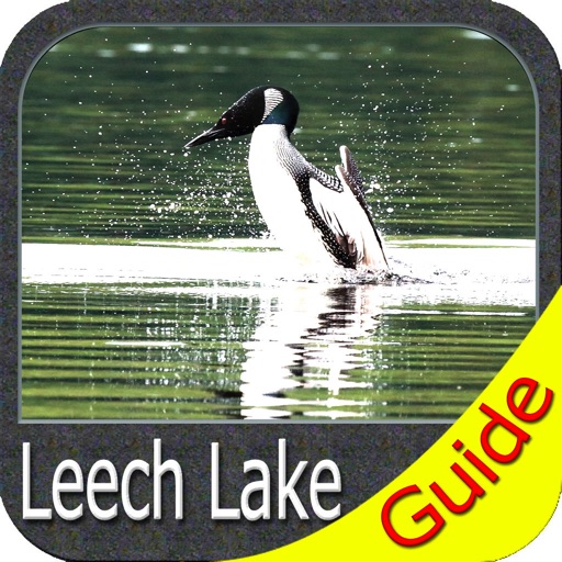
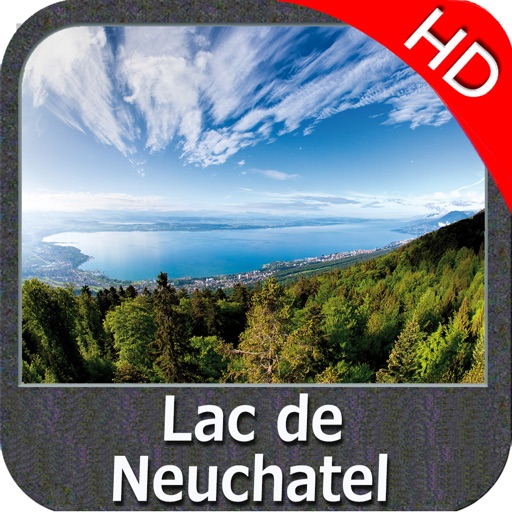
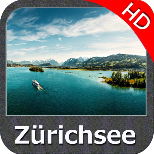
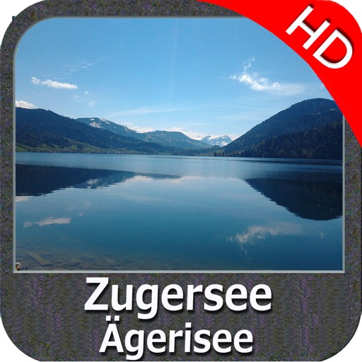
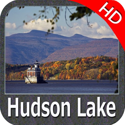
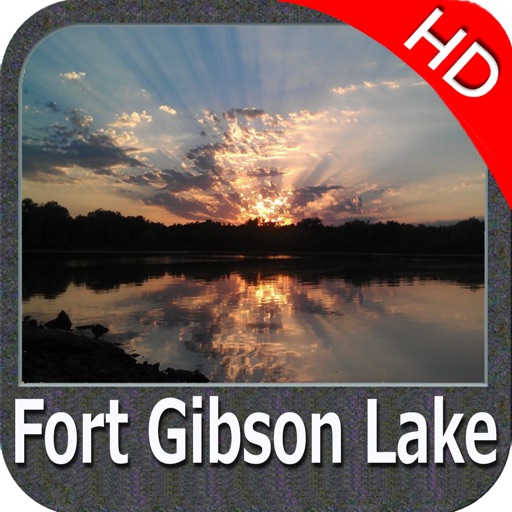
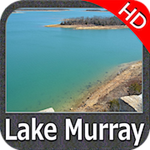
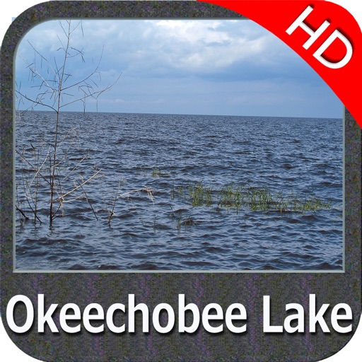
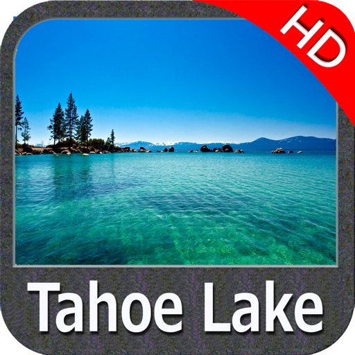
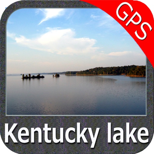
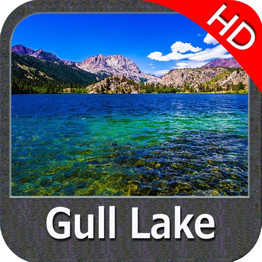
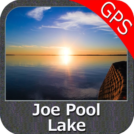
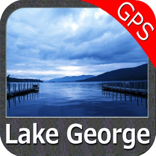
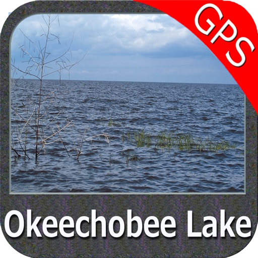
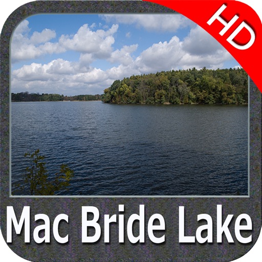
LAKE MAPS:
We offer high quality lake maps with detailed information and important features compressed to assure the larger coverage in USA region. Lake maps contain most important DNR lakes with detailed ‘Depth Contours, Boat Ramps, Fishing spots etc. Also includes Trails, Roads and Railways information.
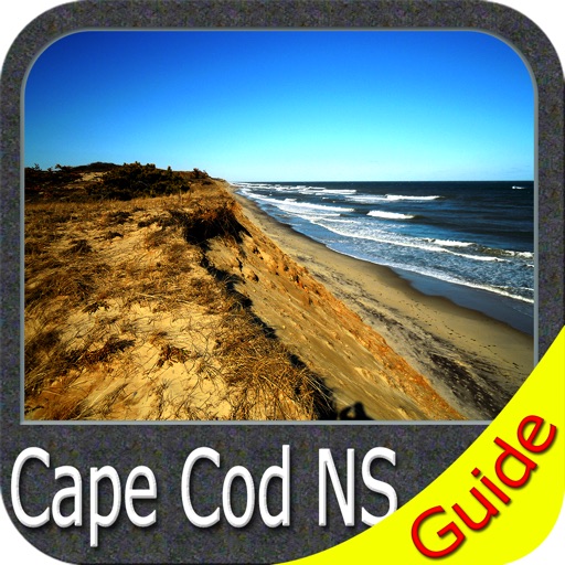
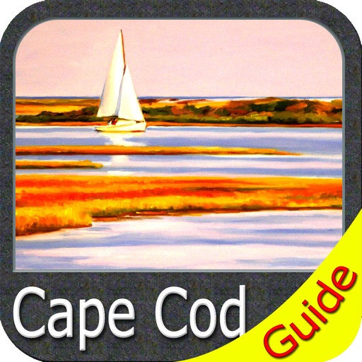
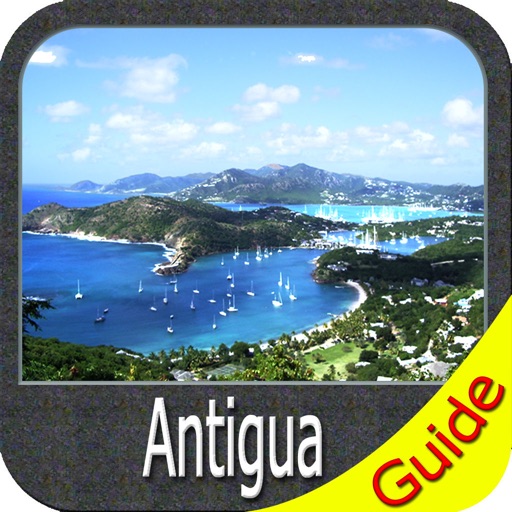
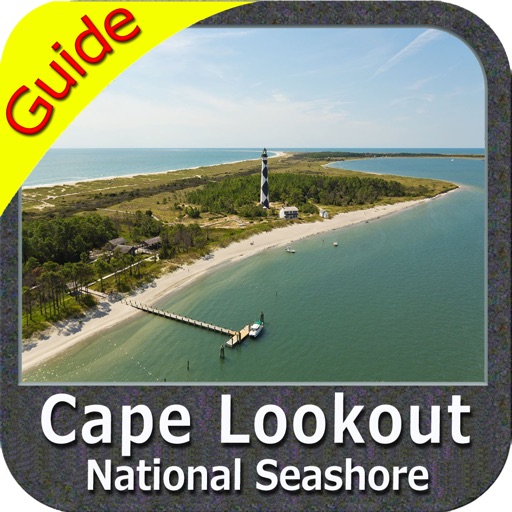
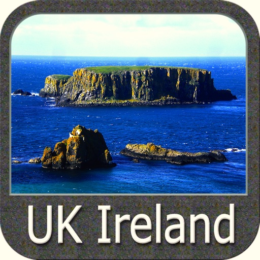
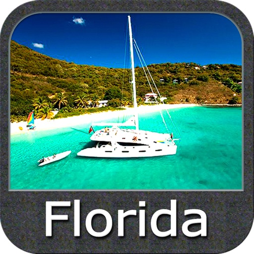
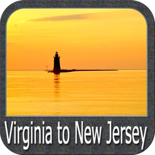
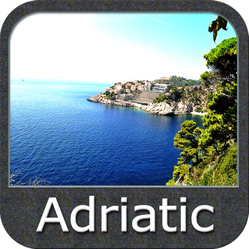
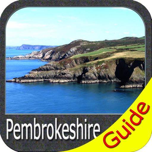
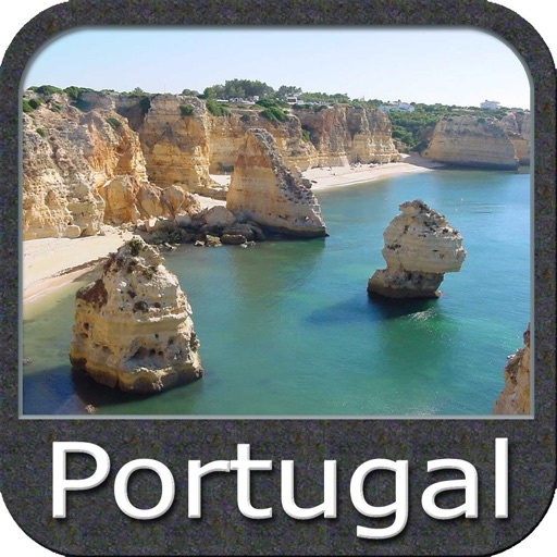
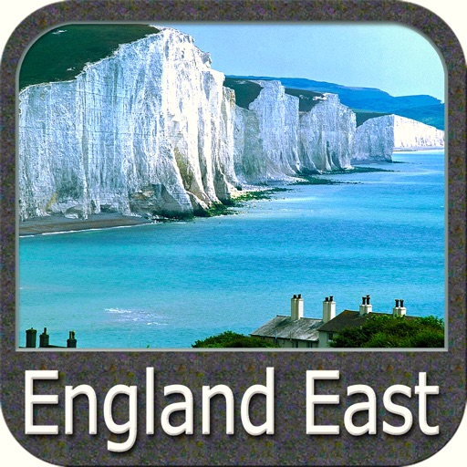
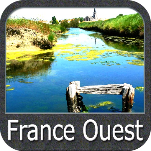
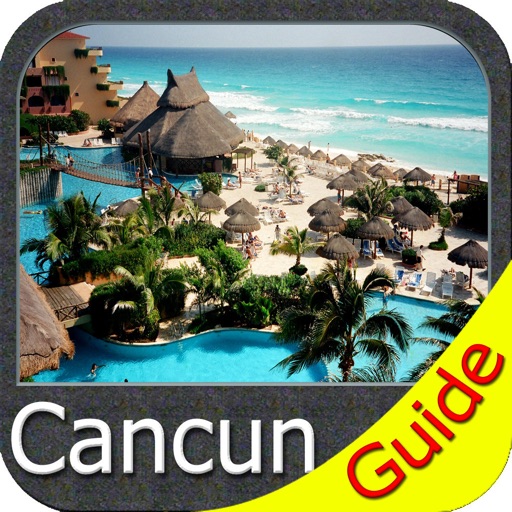
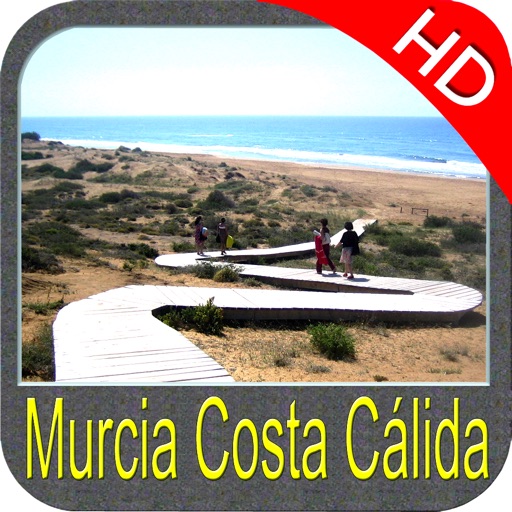
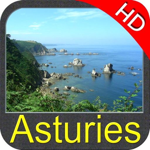
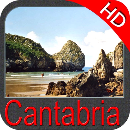
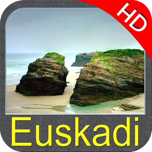
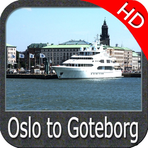
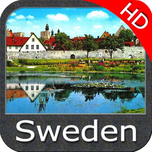
TRAVEL MAPS:
These Maps treat you mostly with information of both Marine and terrain correspondingly. These are the most preferable Maps to travel especially for fascinating recreational voyages, map focus the best Beach spots along the Coast line, Major ports, Sailing, Fishing, Picnic areas, Parks, Hiking, Biking, Clubs, restaurants, Famous Hotels, Museums, Shopping areas, and much more. Introducing guide in map navigator for easy references, you can use it without any Active Internet connection!
“We work to delight your moments”
! Enjoy great Journeys!
Note:
"Continued use of GPS running in the background can dramatically decrease battery life."
"Turn off GPS when not in use"
iPhone Screenshots
(click to enlarge)


App Changes
- June 24, 2011 New version 2.5.1
- August 06, 2011 New version 3.1
- September 29, 2011 New version 3.2.2
- January 17, 2012 New version 3.3
- September 14, 2012 Price increase: $2.99 -> $5.99
- March 07, 2013 New version 3.6.1
- November 05, 2016 New version 4.9
Other Apps From Flytomap