
What's New
Minor bug fixes, and some preparations for a larger update coming in a few months.
App Description
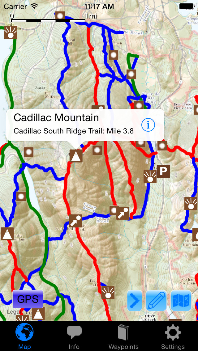
Explore the hiking and biking trails of Acadia National Park with this extensive trail guide!
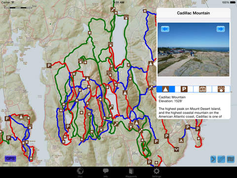
-View the park as a map with all official trails marked over topographic maps or satellite imagery (no cell signal necessary to use this app while on trail).
-GPS enabled, so your location is shown on the map.
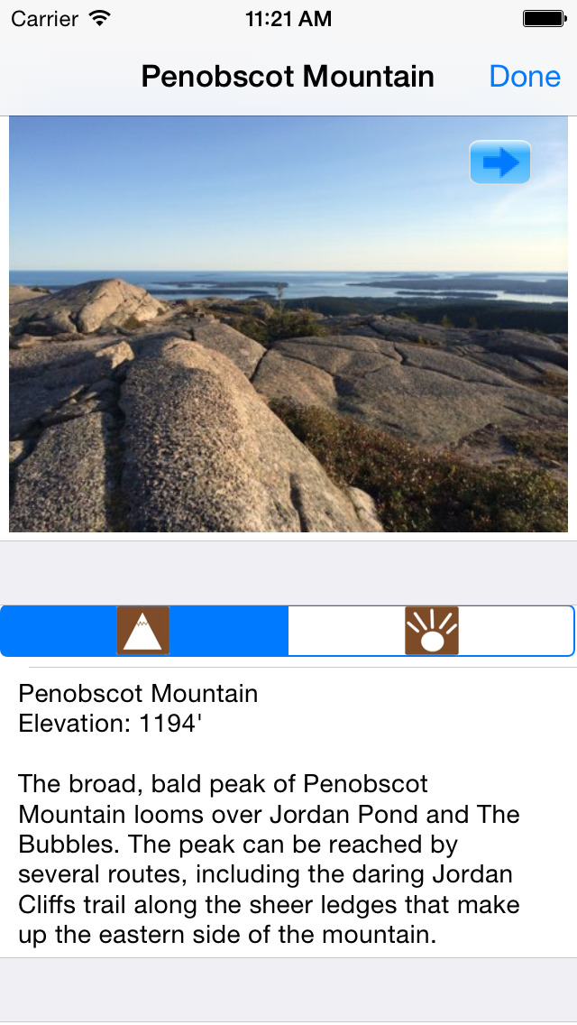
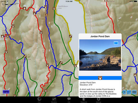
-See photos and descriptions of points of interest all over the island, from mountains and cliffs to coves, waterfalls, and more!
-Share notes about each point of interest with other app users with the waypoint’s Comments section.
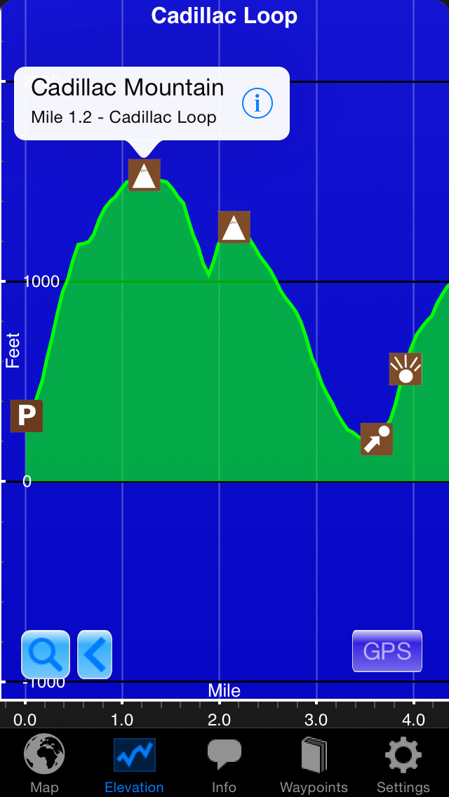
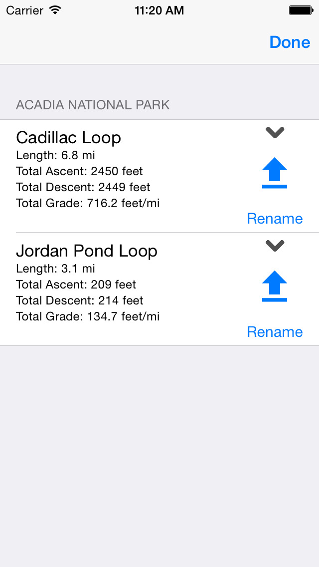
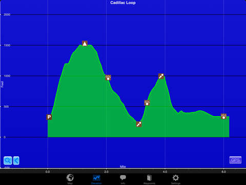
-Draw your own hiking route to create a mileage chart and elevation profile to estimate the difficulty of your hiking trip. (Also GPS enabled, so you can see your location on the elevation profile)
With over 150 miles of trails, hundreds of points of interest, and thousands of photos, Acadia National Park Hiker is a treasure trove of information for hikers in one of the country’s premier National Parks.
iPhone Screenshots
(click to enlarge)

iPad Screenshots
(click to enlarge)

App Changes
- July 02, 2015 Initial release
- March 23, 2016 New version 5.0.2
- August 20, 2016 New version 5.1
- November 24, 2016 New version 5.2
Other Apps From Guthook Hikes, LLC