
What's New
Minor bug fixes, and some preparations for a larger update coming in a few months.
App Description
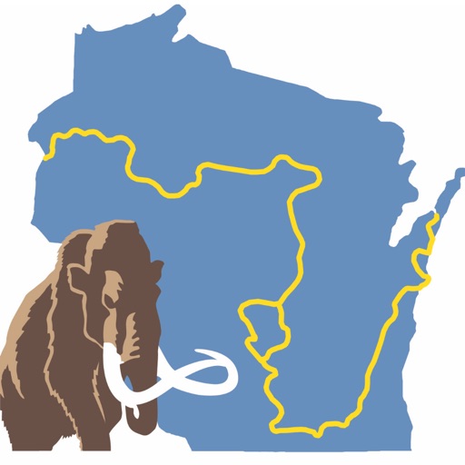
Mammoth Tracks is the official app for the Ice Age National Scenic Trail, built through a collaboration of the Ice Age Trail Alliance and the creators of Guthook's Guides hiking guide apps.
The Mammoth Tracks app is a GPS- and map-based guide for your Ice Age Trail hiking experience. Whether you're backpacking, or in search of IATA's Cold Caches, this app will help you plan your trip and check your location on the trail.
NO MOBILE OR INTERNET service is required to use it after the initial setup.
Features:
*GPS-enabled map of the Ice Age Trail with waypoints
*Offline topo maps and satellite imagery.
*Hundreds of waypoints along or near the trail, including all of IATA's Cold Caches.
*GPS-enabled elevation profile with waypoints
*GPS-enabled data book listing of all waypoints
iPhone Screenshots
(click to enlarge)


iPad Screenshots
(click to enlarge)


App Changes
- July 11, 2016 Initial release
- August 21, 2016 New version 5.1
- November 24, 2016 New version 5.2
Other Apps From Guthook Hikes, LLC