
What's New
Minor bug fixes, and some preparations for a larger update coming in a few months.
App Description
Brought to you by Sandra Friend and John Keatley at FloridaHikes.com, authors of The Florida Trail Guide, the Florida Trail Guide App is the perfect electronic companion to the guidebook for the 1,400-mile Florida National Scenic Trail, America's top winter backpacking destination.
The App uses a combination of your phone's GPS, downloaded topo maps, and the Apple Maps interface to accurately locate your position on the trail. No phone service? Not a problem -- your phone's GPS pinpoints your location on top of topo maps downloaded as part of the app.
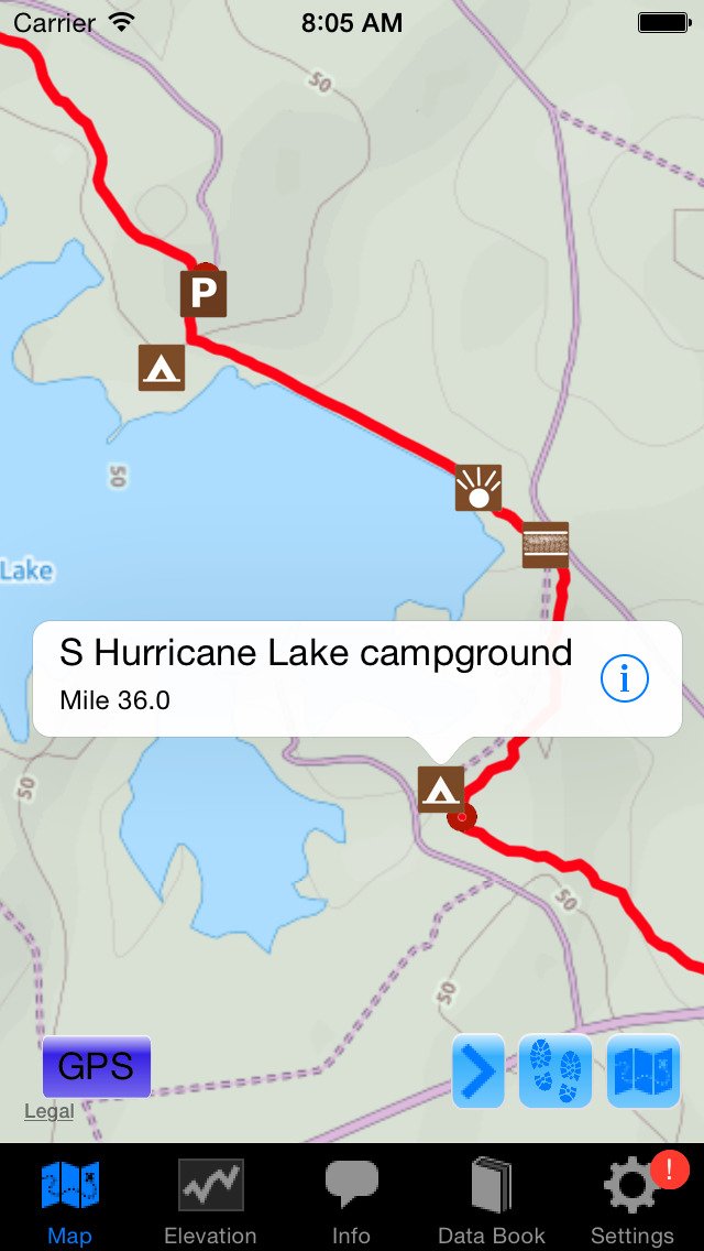
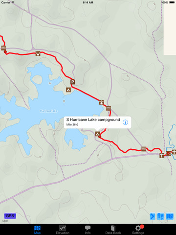
A bright red line indicates the location of the main trail on the map. Side trails and detours are indicated in blue. Waypoints of interest to the hiker are plotted on the map. There are also markers on the map every mile or kilometer of the trail track.
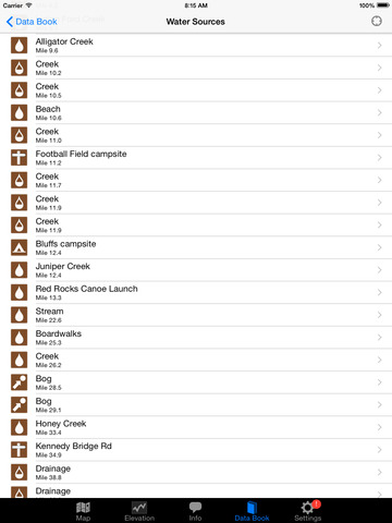
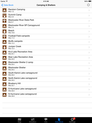
Each waypoint includes a detail page, providing further details about that particular waypoint. Details include the waypoint's mileage point and elevation, photographs of the waypoint, distance northbound and southbound to the next water source, a Trail Register where you may post comments and read other users' comments, and other details that will help you during your hike, and help you plan your hike. Enjoy!
iPhone Screenshots
(click to enlarge)


iPad Screenshots
(click to enlarge)

App Changes
- November 14, 2014 Initial release
- February 06, 2015 New version 4.0
- February 26, 2015 New version 4.1
- April 27, 2015 New version 4.2
- May 04, 2015 New version 4.3
- May 08, 2015 New version 4.4
- July 08, 2016 New version 5.0.6
- August 21, 2016 New version 5.1
- November 24, 2016 New version 5.2
Other Apps From Guthook Hikes, LLC