
What's New
Minor bug fixes, and some preparations for a larger update coming in a few months.
App Description
Arizona Trail is the official navigation app for the Arizona National Scenic Trail, built through a collaboration of the Arizona Trail Association and the creators of Guthook's Guides hiking guide apps. The Arizona Trail app is a GPS- and map-based guide for your Arizona Trail hiking, equestrian or mountain biking trip. NO MOBILE OR INTERNET service is required to use it after the initial setup. The free demo is a fully functional version of the app that includes the 36-mile San Francisco Peaks Passage (Passage 34) of the Arizona Trail near Flagstaff and Snowbowl. The entire 800-mile Arizona Trail is available as an in-app purchase.
Features:
*GPS-enabled map of the Arizona Trail with waypoints
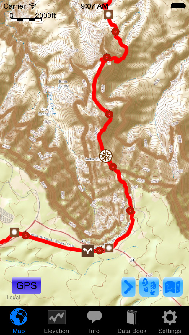
*Offline topo maps, satellite imagery, and photos
*Full app waypoints: more than 1100 waypoints along or near the trail
*Demo app waypoints: 50+ waypoints on Passage 34, near Flagstaff and Snowbowl
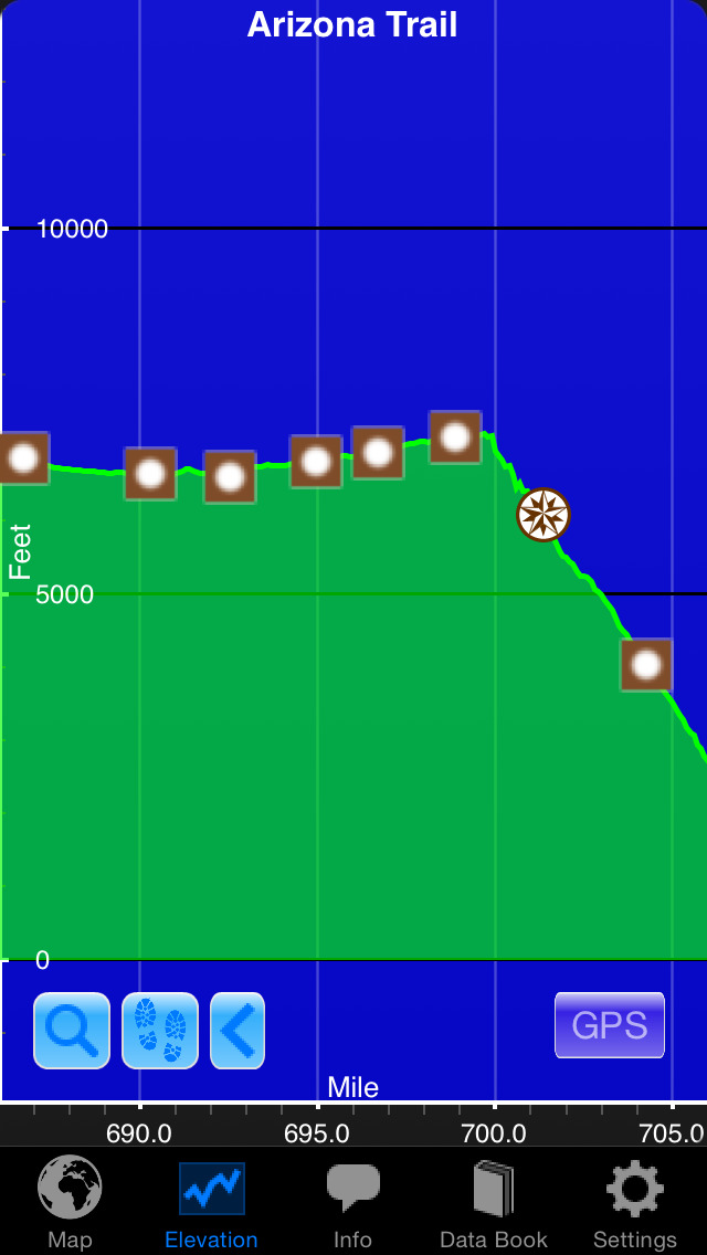
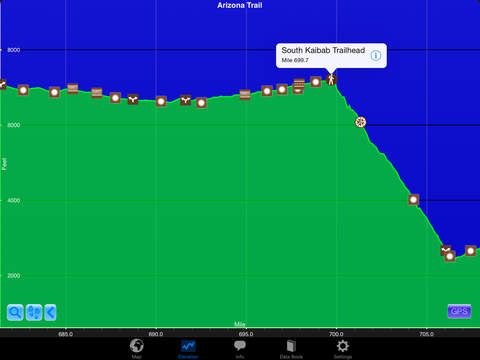
*GPS-enabled elevation profile with waypoints
*GPS-enabled data book listing of all waypoints
*Comprehensive water information
*Comprehensive town and resupply information
*Trailhead information
*Detail page for each waypoint
*Text or email your location
Types of Waypoints:
*Water sources (on-trail and off-trail)
*Trailheads and parking areas
*Resupply towns/services
*Trail junctions
*Road crossings
*Fences, gates, powerlines, toilets
*Other landmarks and points of interest
iPhone Screenshots
(click to enlarge)


iPad Screenshots
(click to enlarge)


App Changes
- August 01, 2015 Initial release
- July 12, 2016 New version 5.0.4
- August 13, 2016 New version 5.1
- November 24, 2016 New version 5.2
Other Apps From Guthook Hikes, LLC