
What's New
Automatically save job data after user has added a new Feature.
App Description
“Landscape & Stakeout” is an iPAD app that helps you create geo-referenced land feature shapes and landscape layout designs. You could use it to layout a farm, a golf course, a resort area or a large backyard. A typical scenario of using this app involves the following steps:
1. Import the boundary shape or digitize it within this app.
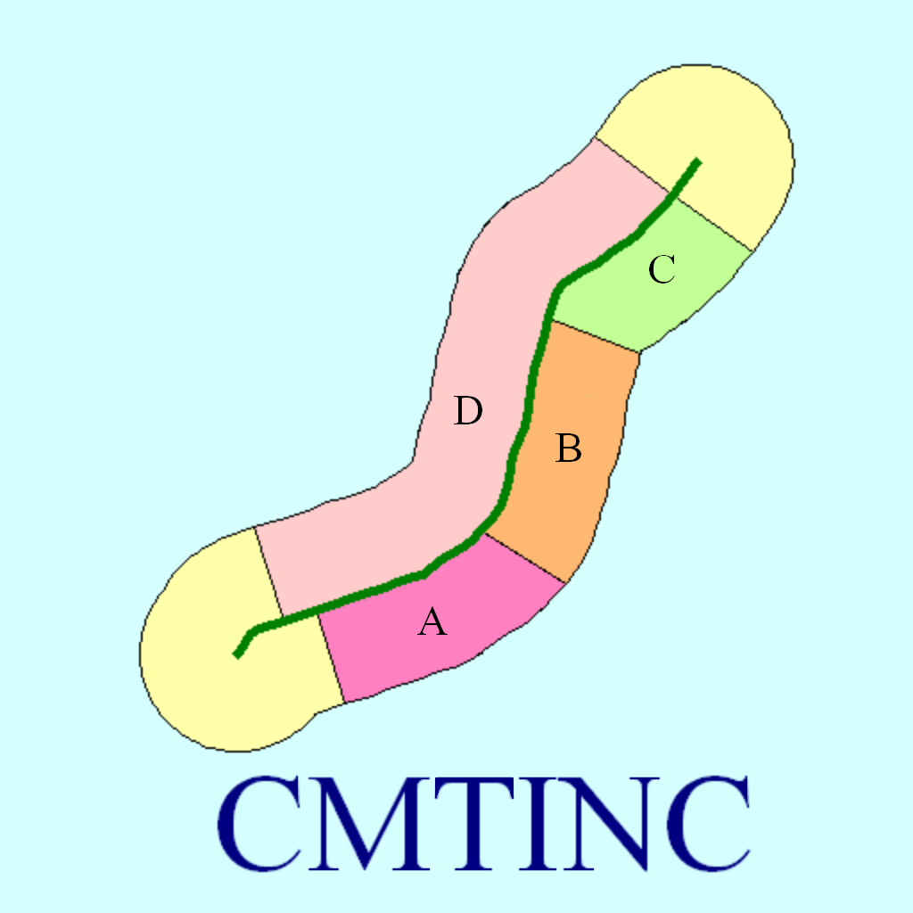
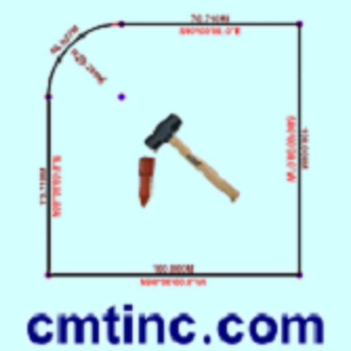
2. Add Landscape Shapes to the landscape mapping job. Reposition and/or resize the landscape shapes as necessary.
3. Layout pipes and sprinklers.
4. Export the completed layout design to a PDF file or a DXF file.
5. Use the stakeout functions to help you get to the actual locations on the ground to install the layout per the design.
The function highlights of this app are:
* Import Feature shapes from Shapefiles or a DXF file.
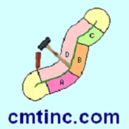
* Draw various types of scalable Landscape Shapes.
* Move landscape shapes to desired locations on the drawing.
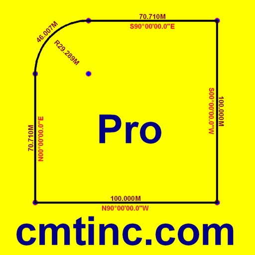
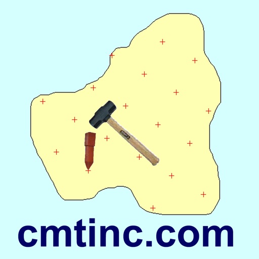
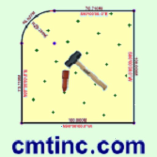
* Precisely digitize Point, Line and Area Features over the built-in Map.
* Move existing nodes to fine-tune the map drawing.
* Tag the regular Features with pre-defined Attribute/Values.
* Attach one or more photos to the selected Feature or Landscape Shape.
* Create grid points or grid lines over an Area Feature.
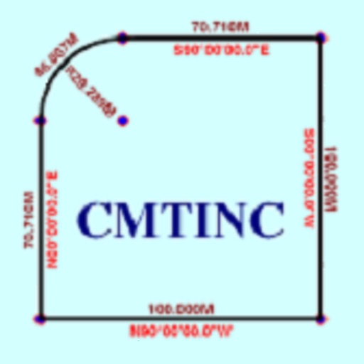
* Label the Line Features with segment lengths and directions as well as corner angles.
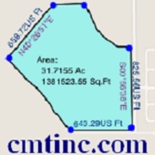
* Label the Area Features with size in acres and square feet or hectares and square meters.
* Measure distances and areas without saving the shapes.
* Create a Point from the entered address or coordinates.
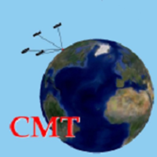
* Create a Point or record a node by picking the GPS location.
* Export the Feature data to DXF.
* Output the drawing and the coordinates to PDF.
* Email the job data files and the PDF files to your colleagues.
* Use GPS to stake out Points or nodes on a Line or Area.
* Use GPS to guide you along a specified Line or Area boundary.
Please note: The accuracy of the location data depends on the GPS receiver used. Continued use of GPS running in the background can dramatically decrease battery life. The app lets you easily toggle the GPS on or off.
This app comes with a built-in help document.
iPad Screenshots
(click to enlarge)


App Changes
- August 05, 2014 Initial release
- October 24, 2014 New version 1.0.1
- August 07, 2015 New version 1.0.2
- June 13, 2019 New version 1.0.3
- June 13, 2019 Price increase: $24.99 -> $44.99
- June 13, 2019 Price increase: $24.99 -> $44.99
- June 14, 2019 Price increase: $24.99 -> $44.99
- June 14, 2019 Price increase: $24.99 -> $44.99
- June 15, 2019 Price increase: $24.99 -> $44.99
- June 15, 2019 Price increase: $24.99 -> $44.99
- June 16, 2019 Price increase: $24.99 -> $44.99
Other Apps From Corvallis Microtechnology, Inc.