What's New
Fixed Bugs:
The PDF Print icon doesn't work on iPad.
Pick Point Feature on the Gauge screen doesn't work.
App Description
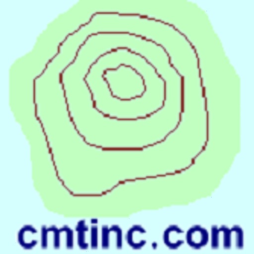
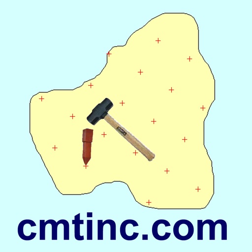
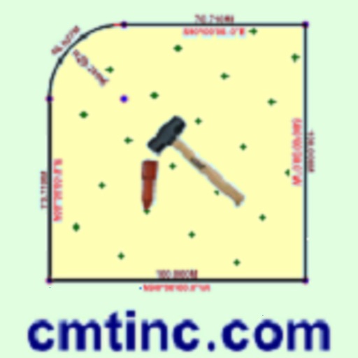
“Forester GPS GIS” for the iPAD provides many useful GIS functions for mapping forest lands and estimating basal area per acre for a timber stand. It will let you easily create a timber tract or any other land parcel by importing data in Shapefile or DXF format, by precise digitization or by entering deed calls. The acreage and perimeter will be promptly computed. You could add grid lines to define the plots for plot sampling. Or, you could create a grid of cruise points over a timber stand then use the built-in angle gauge to select the sample trees for point sampling. If your device has GPS capability, the Point Stakeout function can help you locate the cruise points. There is also a Line Stakeout function that can help you stay on a cruise line. If you don't care for hearing the navigation beeps, you may turn it off in the Stakeout Setting screen.
You will be able to record attribute information for each timber stand as well as for each cruise point. You will be able to record the Tree Tally and have the Basal Area per Acre automatically computed and recorded for each point for point sampling. You will also be able to enter formulas to compute values derived from the recorded data. For example, when you enter the expenses for cruising a timber stand, the cost per acre can be automatically calculated based on the acreage of the plot.
Please note: The accuracy of the location data depends on the GPS receiver used. Continued use of GPS running in the background can dramatically decrease battery life. The app lets you easily toggle the GPS on or off.
Detailed Function List:
* Import the shapes from Shapefile or DXF file.
* Precisely digitize Points, Lines and Areas over the built-in Map.
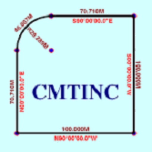
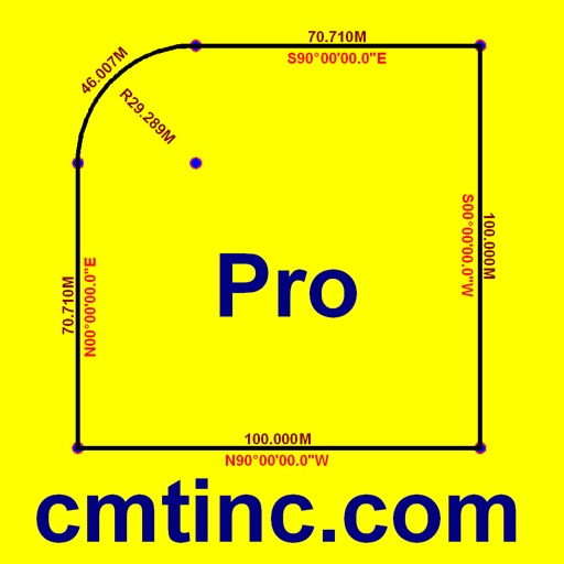
* Create a Line or an Area by entering Deed Calls.
* Move existing points or nodes to fine-tune the map drawing.
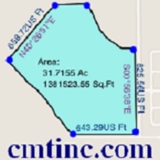
* View position, length and area values for the Features.
* Work with Metric and English units and BAF values.
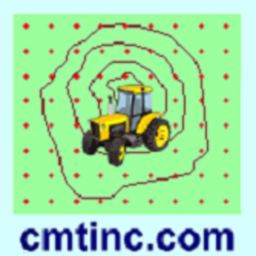
* Create grid points or grid lines over an Area Feature.
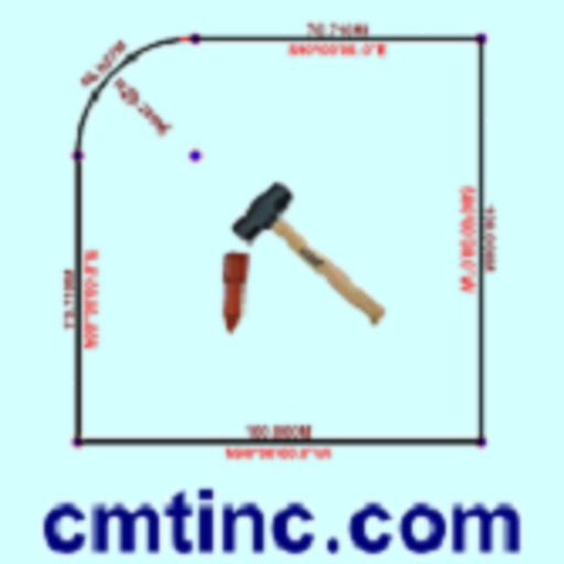
* Use the built-in angle gauge to select trees for point cruise.
* Check borderline trees based on limiting distance calculation.
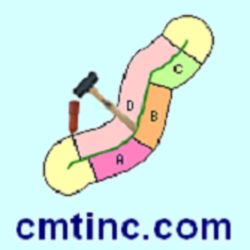
* Calculate the actual stem length of a leaning tree.
* Convert between horizontal distance and slope distance.
* Create multiple attribute tables (Feature Lists).
* Tag the Features with pre-defined Attribute/Values.
* Enter a formula for an Attribute based on other Attributes.
* View or edit Attribute Values in a spread-sheet display.
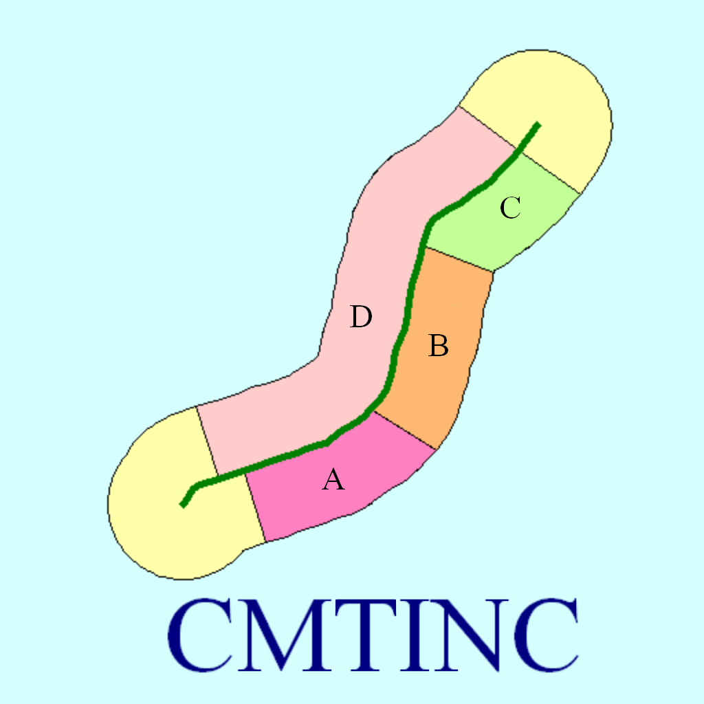
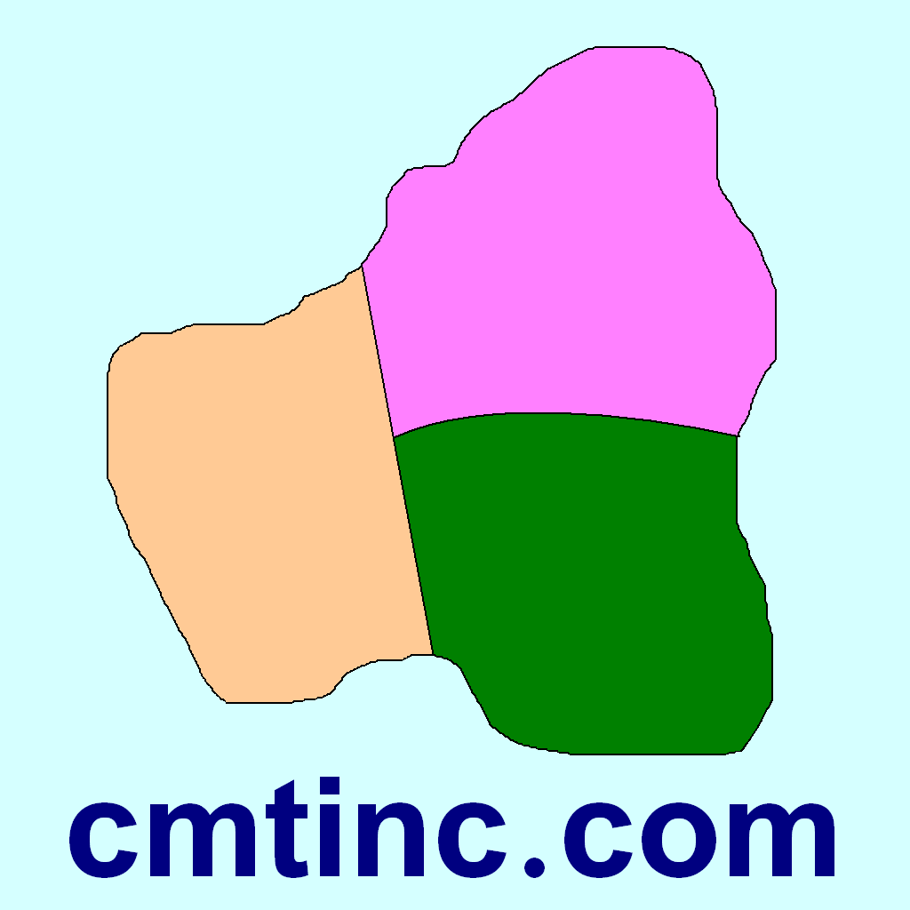
* Sub-divide an Area.
* Combine two adjacent Areas into one Area.
* Create buffer zones around a Line or Area Feature.
* Label the Features with ID and Attributes.
* Label the Lines with segment lengths and directions as well as corner angles.
* Label the Areas with size in acres and square feet or hectares and square meters.
* Measure distances and areas without saving the shapes.
* Create a Point from the entered address or coordinates.
* Create a Point or record a node by picking the GPS location.
* Use GPS to stake out Points or nodes on a Line or Area Feature.
* Use GPS to stake out a Line or Area boundary.
* Save the job data file for later use.
* Output the drawing and the coordinates to PDF.
* Email the job data files and the PDF files to your colleagues.
This app comes with a built-in help document.
iPad Screenshots
(click to enlarge)


App Changes
- April 09, 2013 Initial release
- June 12, 2013 New version 1.0.1
- October 24, 2013 New version 1.0.2
- November 08, 2013 New version 1.0.3
- June 27, 2014 New version 1.0.4
- July 18, 2014 New version 1.0.5
- October 08, 2014 New version 1.0.6
- November 04, 2014 New version 1.0.7
Other Apps From Corvallis Microtechnology, Inc.