
What's New
Bug fix.
App Description
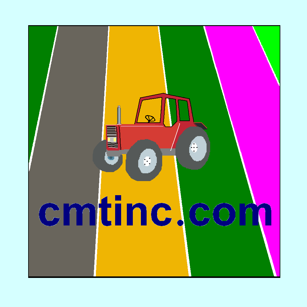
A popular application of the handheld devices is to make use of the built-in Map to measure distances and areas. You may have been resigned to accepting the rough results for the lines and areas you digitize by using your finger tip or a capacitive stylus. Now, you can experience exciting digitization precision with the “Area - Distance” app. You will be able to do the following using the Area - Distance app on your iPAD, iPhone or iPod touch:
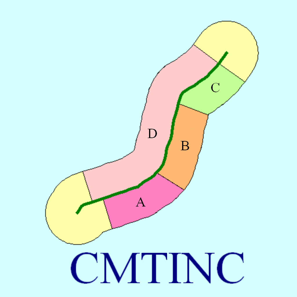
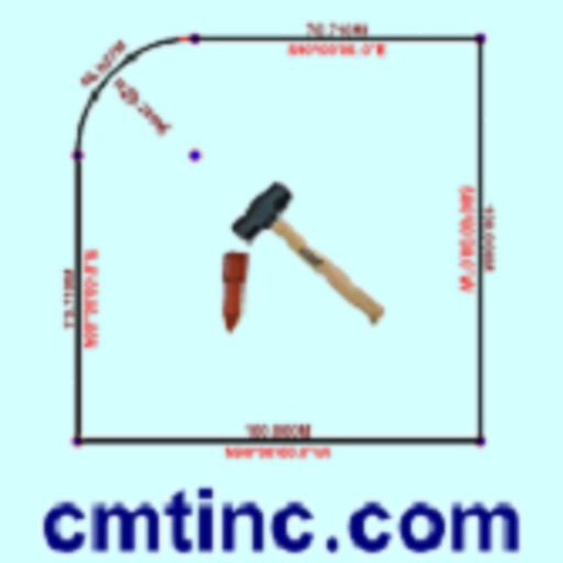
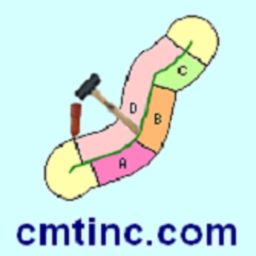
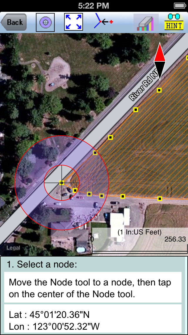
* Precisely digitize Points, Lines and Areas and save them as Features.
* View position, length or area values for the saved Features.
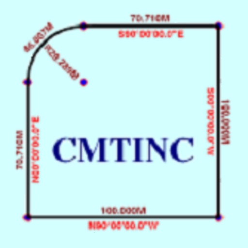
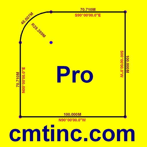
* Label the Lines with segment lengths and directions as well as corner angles.
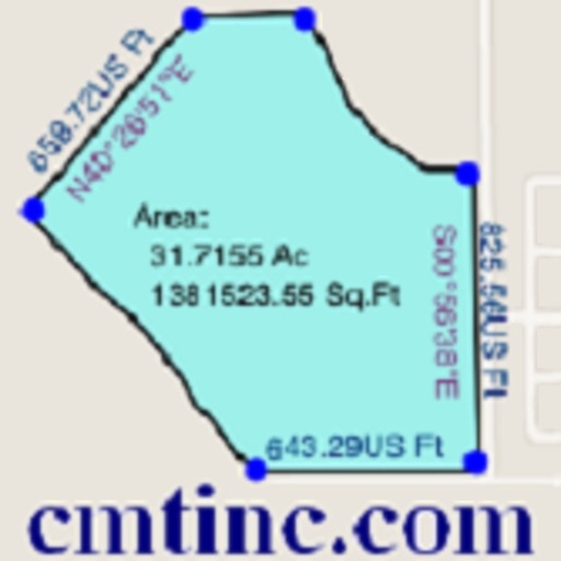
* Label the Areas with size in acres and square feet or hectares and square meters.
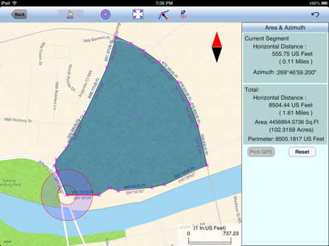
* Measure distances and areas without saving the shapes.
* Move existing nodes to fine-tune the map drawing.
* Create Points from entered coordinates.
* Create Points from an imported text file.
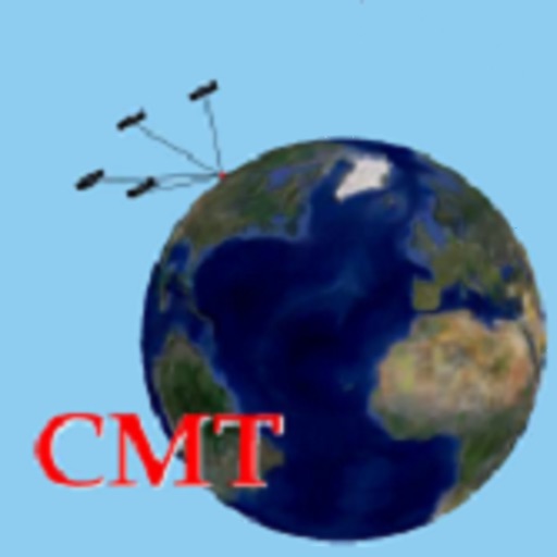
* Create a Point or record a node by picking the GPS location.
* Search a location by address or by coordinates.
* Save the job data file for later use.
* Output the drawing and the coordinates to PDF.
* Email the job data files and the PDF files to your colleagues.
The Area - Distance app comes with a detailed built-in help document.
Please note: Location data depends on the GPS receiver used. Continued use of GPS running in the background can dramatically decrease battery life. This app will let you easily toggle the built-in GPS on or off.
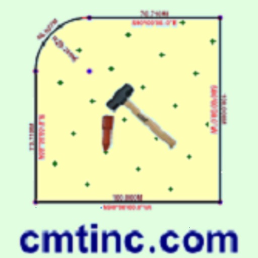
iPhone Screenshots
(click to enlarge)


iPad Screenshots
(click to enlarge)


App Changes
- November 07, 2012 Initial release
- November 05, 2014 New version 1.0.1
- July 11, 2015 Price decrease: $9.99 -> FREE!
- September 01, 2015 Price increase: FREE! -> $9.99
- June 14, 2019 New version 1.0.2
- August 06, 2021 New version 1.0.3
Other Apps From Corvallis Microtechnology, Inc.