
App Description
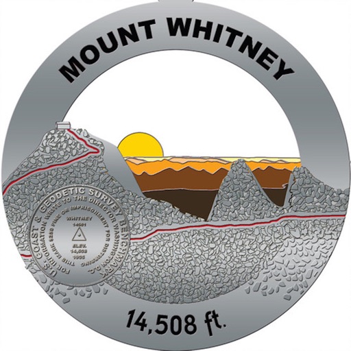
The Mount Whitney Trail is a trail that climbs Mount Whitney. It starts at Whitney Portal, 13 miles (21 km) west of the town of Lone Pine, California. The hike is about 22 mi (35 km) round trip, with an elevation gain of over 6,100 feet (1,860 m). It is an extremely popular trail, and its access is restricted by quotas from May to October.
A hiker companion for the Mount Whitney Trail . Includes the offline features in case you don’t have a data plan or connection. The device will display the trail without the base map. The user can change the map depending on the connection. The cheapest and most complete Mount Whitney Trail app, always up to date, offline data without hidden fees.
All the offline maps per section are included.
All the campsites information and route for Mount Whitney Trail is now available for you including when you are offline. You’ll never be lost again in the Mount Whitney Trail.
A must have simple app if you planning to hike or section hike.
It's very important that every hiker knows where the next campsite is as the trail weather can change at any time. This app will give you the information to keep you safe.
iPhone Screenshots
(click to enlarge)


App Changes
- May 01, 2019 Initial release
Other Apps From Albert Pascual