
App Description
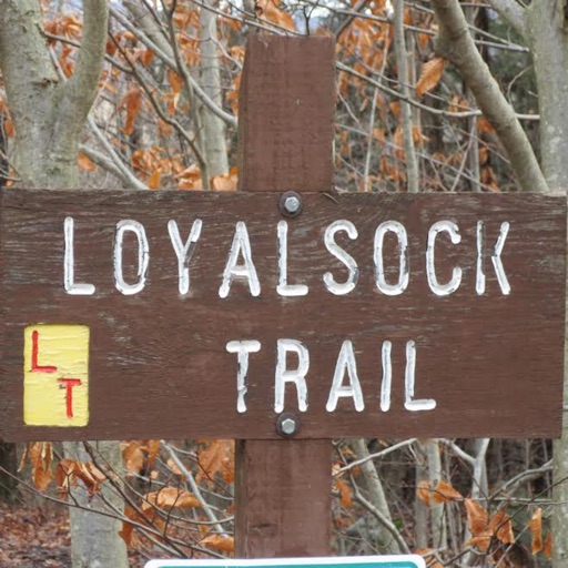
The Loyalsock Trail (LT) is a 59.2 mi (95.3 km) hiking trail along Loyalsock Creek in Lycoming and Sullivan counties in north central Pennsylvania in the United States.
A hiker companion for the Loyalsock Trail. Includes the offline features in case you don’t have a data plan or connection. The device will display the trail without the base map. The user can change the map depending on the connection. The cheapest and most complete The Loyalsock Trail app, always up to date, offline data without hidden fees.
All the offline maps per section are included.
All the campsites information and route for The Loyalsock Trail is now available for you including when you are offline. You’ll never be lost again in the Loyalsock Trail.
A must have simple app if you planning to hike or section hike.
It's very important that every hiker knows where the next campsite is as the trail weather can change at any time. This app will give you the information to keep you safe.
iPhone Screenshots
(click to enlarge)


App Changes
- April 24, 2019 Initial release
Other Apps From Albert Pascual