
App Description
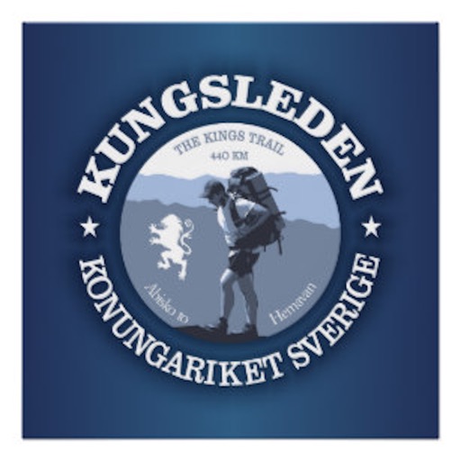
Kungsleden (King's Trail) is a hiking trail in northern Sweden, approximately 440 kilometers (270 mi) long, between Abisko in the north and Hemavan in the south. It passes through, near the southern end, the Vindelfjällen Nature Reserve, one of the largest protected areas in Europe. In the winter Kungsleden is a ski trail with approximately the same route.
A hiker companion for the Kungsleden Trail. Includes the offline features in case you don’t have a data plan or connection. The device will display the trail without the base map. The user can change the map depending on the connection. The cheapest and most complete The Kungsleden Trail app, always up to date, offline data without hidden fees.
All the offline maps per section are included.
All the campsites information and route for The Kungsleden Trail is now available for you including when you are offline. You’ll never be lost again in The North Country Trail.
A must have simple app if you planning to hike or section hike.
It's very important that every hiker knows where the next campsite is as the trail weather can change at any time. This app will give you the information to keep you safe.
iPhone Screenshots
(click to enlarge)


App Changes
- April 11, 2019 Initial release
Other Apps From Albert Pascual