
What's New
Compatible to iOS 13
Minor bug fixed.
User interface menu position updated based on iOS 13 maps.
App Description
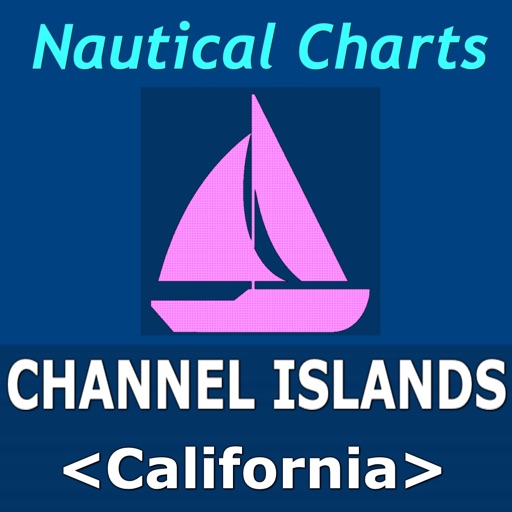
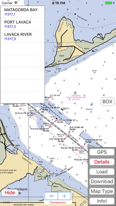
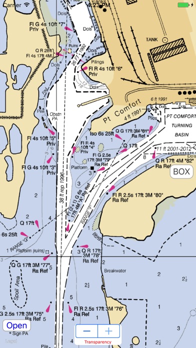
Nautical Charts map is a boating charts viewer which provides un-quilted NOAA nautical charts. These charts contain crucial information for sailors and boaters. These charts are representation of navigational features such as land areas, water depths, contours, dredged areas, un-surveyed areas, obstructions, anchoring areas, buoys, beacons, lights, signal stations, rocks, wrecks, port & harbour channels, seabeds, pile points, under water power & pipelines, radar stations, marinas, towers, silos and hundreds of standard navigation symbols and aids that are useful for navigation as reference.
• Download & Store desired charts for any region.
• Charts available for full NOAA coverage.
• View stored Nautical charts Offline.
• Load multiple charts at once.
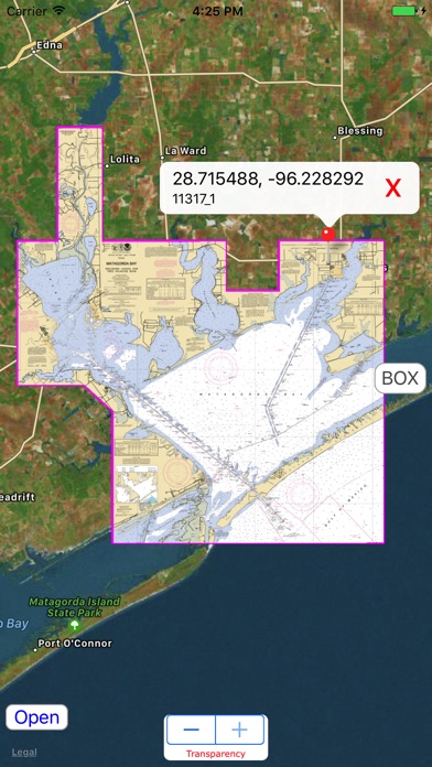
• Auto assigns seamless boundary for all loaded charts.
• Get details of Nautical charts.
• Draw Waypoints Route. Move, Save, Reload & Email options.
• Zoom to any loaded chart with a finger click.
• Set Transparency and compare Map & Nautical chart overlay.
• Background downloading for larger sized charts.
• Search Nautical charts by name or chart number if user is aware.
• Chart Sequence reference. Highlights Selected Charts.
• Manage desired colour to chart sequence for visibility.
• Turn On/Off chart boundaries at user convenience.
• Get list of chart names covered on a finger tap location.
• Get co-ordinate of any map point.
• Map user guide and disclaimer.
• Set desired Map Type for chart overlays.
• GPS to show and update user current location.
• Update to latest charts without app. update.
iPhone Screenshots
(click to enlarge)


iPad Screenshots
(click to enlarge)


App Changes
- October 24, 2017 Initial release
- June 20, 2019 New version 3.0
- July 03, 2019 Price increase: $1.99 -> $2.99
- August 29, 2019 Price decrease: $2.99 -> $1.99
- December 24, 2019 New version 3.5
Other Apps From Vishwam B