
What's New
Compatible to iOS 13.
App Description
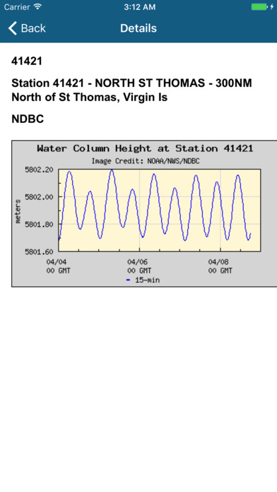
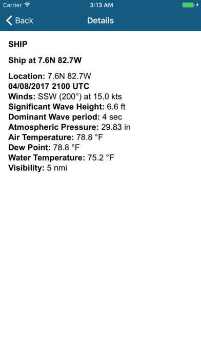
The NOAA Buoy Stations and Ships Pro map is a unique app that allows sailors and boaters to retrieve weather & Tide (Water Level) observations data from NOAA's National Data Buoy Centre (NDBC).
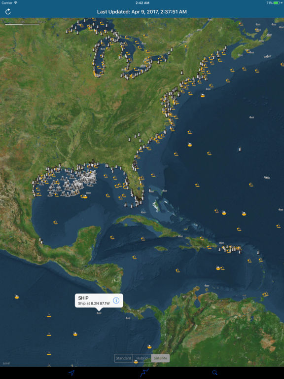
This Map displays Real Time Observations data for Moored Buoys, TAO, Tsunami, Fixed Platforms, Oil & Gas Platforms and Ships.
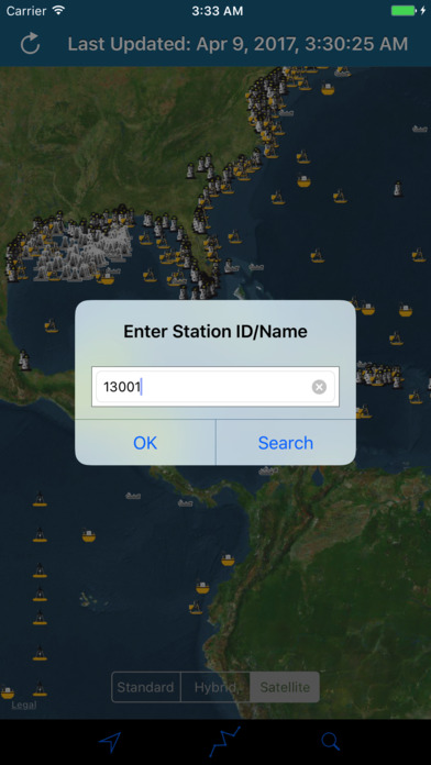
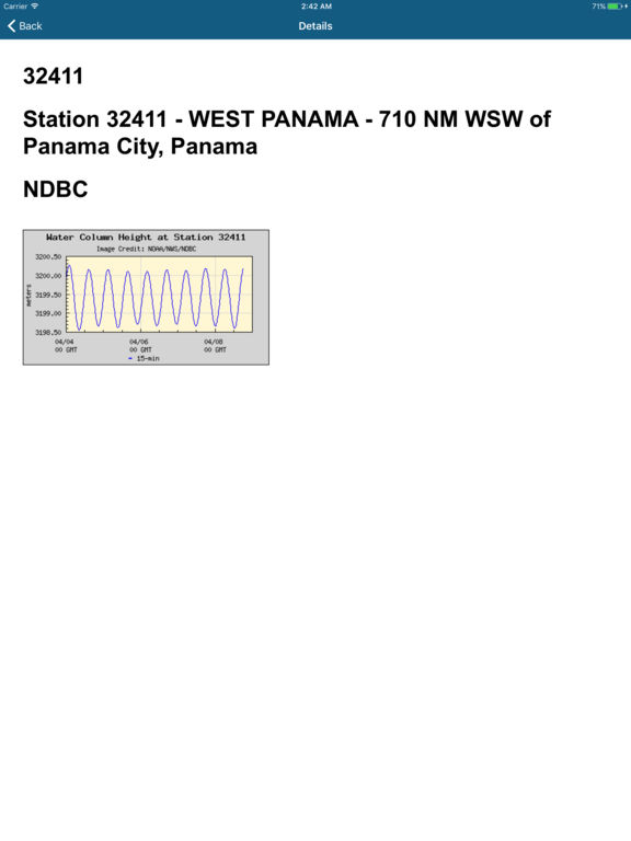
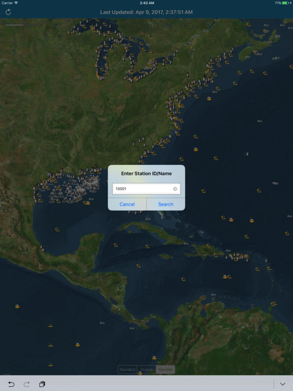
Search your known Buoy Stations and get all the NOAA information for Wind Speed, Wind Direction, Tide Table, Wind Gust, Air Temperature, Water Temperature, Dew Point and more parameters…
All Buoy Stations are displayed on the maps (Street, Hybrid, Satellite).
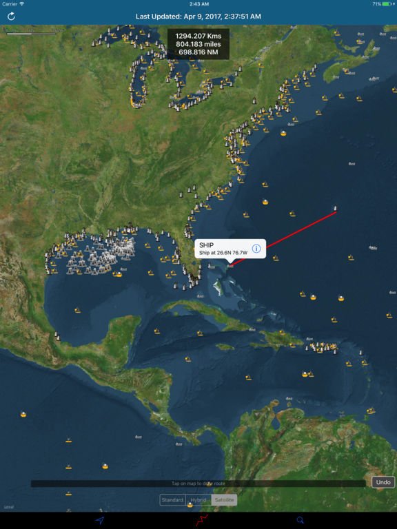
Draw Route and Measure Tool to calculate Sea Route on Map.
Note:
1) Internet connection is required to fetch data for the First Time and Every Update further.
2) Tsunami Water Level Charts will not be available in Offline Mode.
3) Observations derived and presented from NOAA (National Data Buoy Centre) are for reference purpose only and Not For Navigation.
iPhone Screenshots
(click to enlarge)


iPad Screenshots
(click to enlarge)

App Changes
- April 11, 2017 Initial release
- June 14, 2019 New version 3.0
- December 17, 2019 Price decrease: $1.99 -> $0.99
- December 24, 2019 New version 3.5
Other Apps From Vishwam B