
What's New
Compatibility to iOS 13
App Description
Best map for Boaters, Sailors, Fishermen, Divers!
New feature shows nautical miles coverage radius circle and buoy stations and ships with in it.
Custom search allows get buoys data for any desired region (Long press on map along the coast to get buoy stations or available ships data).
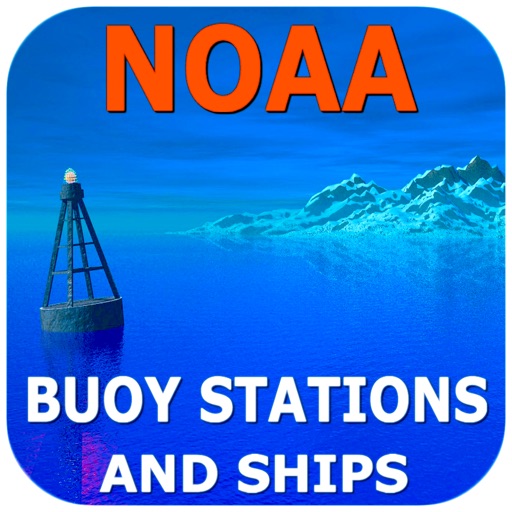
The NOAA Buoys Stations and Ships map is a unique app that allow you to retrieve weather data and real time ship positions data from NOAA's National Data Buoy Centre based on your current GPS location.
All Buoy Stations and Ships are displayed on the maps (Street, Hybrid, Satellite)
Search Nearest Stations and get all the NOAA information for Wind Speed, Wind Direction, Wind Gust, Air Temperature, Water Temperature, Dew Point and more parameters…
Please note that Internet connection is required to access data from NOAA NDBC.
iPhone Screenshots
(click to enlarge)


iPad Screenshots
(click to enlarge)


App Changes
- December 21, 2015 Initial release
- November 08, 2016 New version 2.0
- June 14, 2019 New version 3.0
- January 14, 2020 New version 3.5
Other Apps From Vishwam B