What's New
- Minor Bugfixes
App Description
The indispensable app for all mountain biking enthusiasts in Switzerland’s Graubünden region:
•Bike tours: A steadily increasing number of tours with 1:25,000 topo maps – and the ability to also use the maps offline
•Altitude metre collector: A game for all "altitude metre eaters". When you reach 500 altitude metres you can take part in the competition draw.
•Tour planner: Easily plan individual tours on the 1:25,000 topo map – with automatic routing on the trail network.
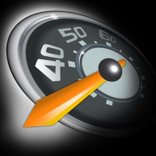
•Tachometer: How fast am I traveling? How many metres in altitude have I gained? These and other questions are answered by the Graubünden mountain biking app’s configurable tachometer.
•Peak finder: What was that striking peak in the background again? Easily find the answer with the peak finder – simply point with your smartphone and the name will appear.
Important note:
Using the app in the background with GPS reception activated may drastically shorten your battery life.
iPhone Screenshots
(click to enlarge)


App Changes
- June 08, 2014 Initial release
- July 20, 2014 New version 1.2
- May 02, 2015 New version 2.0
- June 27, 2015 New version 2.1
Other Apps From Outdooractive GmbH & Co. KG