

What's New
New detail views of the Ala Kahakai trail, Volcanoes national park and South Point. Also, a new trail list.
App Description
YouHike - Hawaii - The Big Island is an app that provides zoomable trail maps of the most popular hiking trails on the Big Island of Hawaii.
YouHike - Hawaii - The Big Island will show your location even if you are out of cell phone range. All maps are included so you are not bandwidth dependent for any data.
With YouHike -Hawaii The Big Island you can:
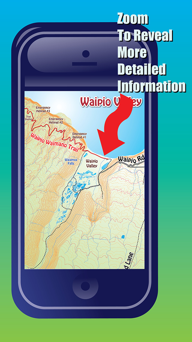
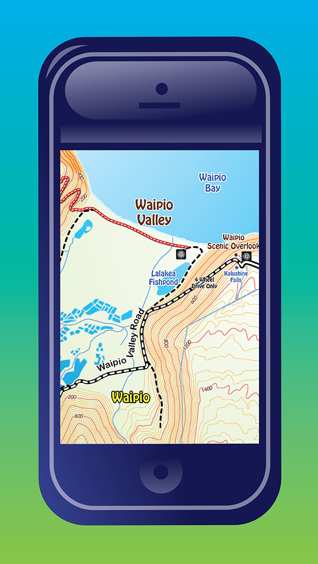
- zoom in on each map to get additional information including parking and camping info
- customize your location graphic with 36 different location graphic icons
- log your miles and save or email your stats
Over 60 trails are covered by these maps including the Ala Kahakai Trail, Byron Ledge Trail, Captain Cook Monument Trail, Halema'uma'u Trail, Ka'u Desert Trail, Kalopa State Park Trails, Kilauea Caldera Trails, Kilauea Iki Trail, Mahukona Trails, Mauna Kea/Mauna Kea Summit Trails, Mauna Loa/Mauna Loa Summit Trails, Mo'okini Heiau, Muliwai Trail, Napau Crater Trail, Pololu Valley Trails, Puu OO Trail, South Point Trails, Volcanoes National Park, Waimanu Valley Trail, Waipi'o Valley Trail.
For free printable maps and additional information check out www.youhikeapps.com
**Continued use of GPS running in the background can dramatically decrease battery life.
iPhone Screenshots
(click to enlarge)


App Changes
- November 14, 2014 Initial release
- February 12, 2015 New version 1.1
Other Apps From John Gray