
What's New
This version fixes a problem with the user interface.
App Description
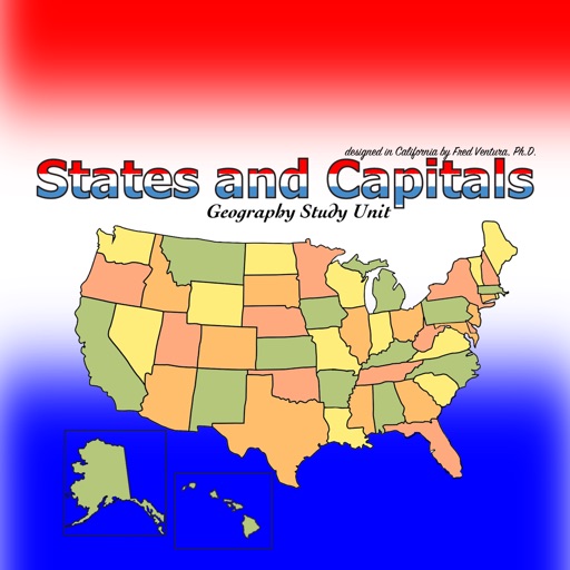
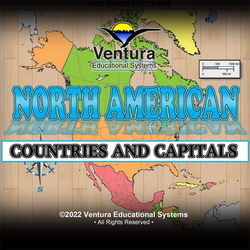
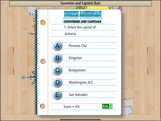
North American Countries and Capitals - Geography Study Unit presents maps of the North America to help students learn the names and locations of the countries and their capitals. This colorful app provides a variety of activities and presents information about each country including abbreviation, highest point, time zone, population, area in square miles and square kilometers, and type of government. A game-like quiz challenges students to match a country with its capital. Another game randomly selects a country and asks the student to locate the capital on a map.
Information presented while using the app:
• Name
• Capital
• Abbreviation
• Highest Point
• Time Zone
• Area Rank
• Area in Square Miles and Square Kilometers
• Population
• Type of Government
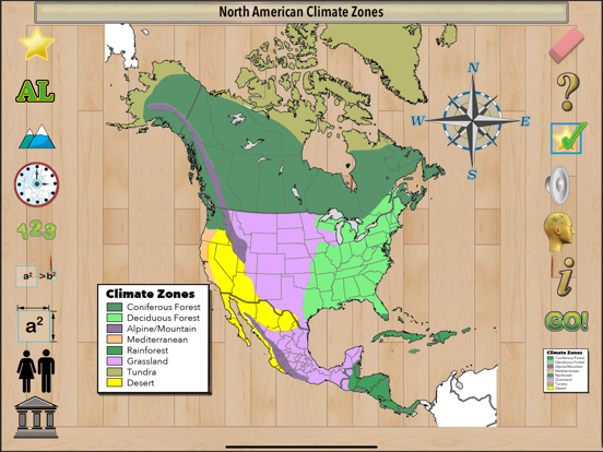
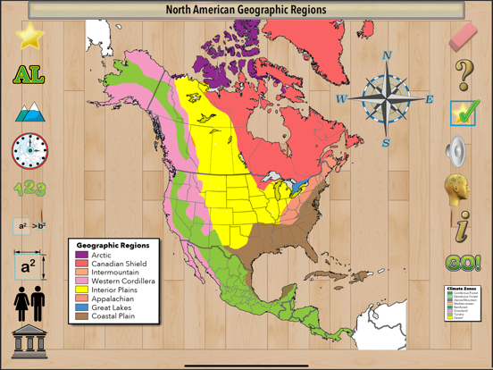
Maps presented in the app:
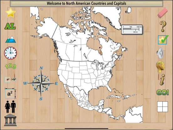
Black Line
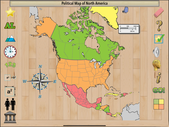
Color Map Showing Countries
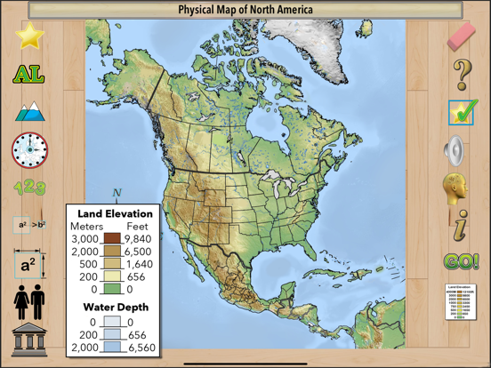
Land Elevation
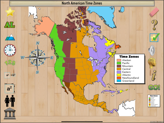
Time Zones
Geographical Regions
Available for iOS.
iPad Screenshots
(click to enlarge)

App Changes
- May 29, 2022 Initial release
- May 31, 2022 New version 1.1
- May 31, 2022 New version 1.0
Other Apps From Ventura Educational Systems