
What's New
Critical update for iOS 16 functionality.
App Description
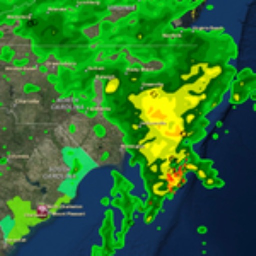
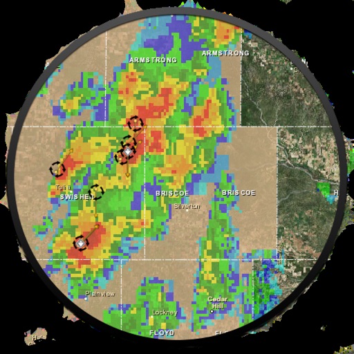
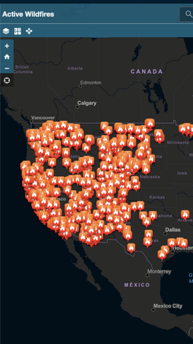
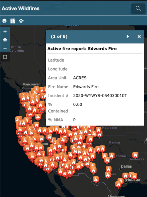
Active Wildfire Tracker Map is an interactive mapping application that tracks the current active wildfires in the US. The data is updated hourly and offer GPS capabilities.
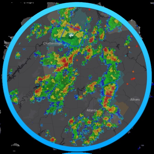
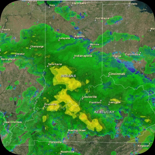
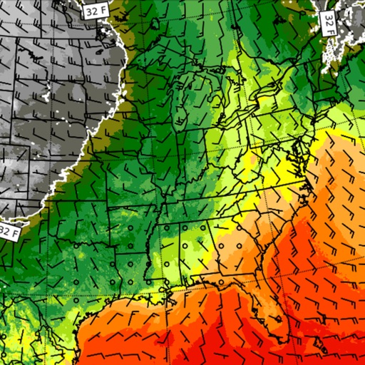
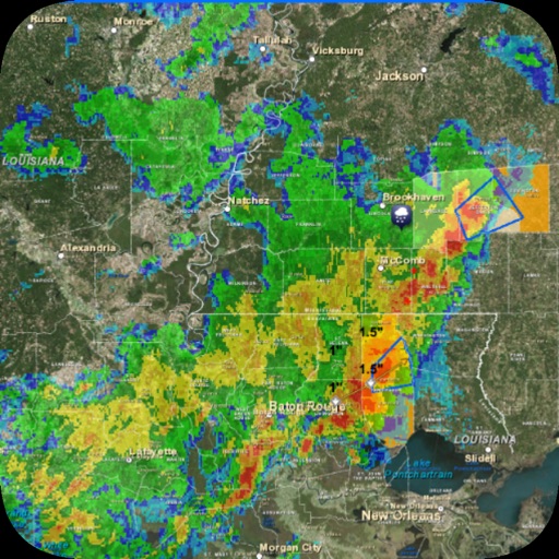
iPhone Screenshots
(click to enlarge)

iPad Screenshots
(click to enlarge)

App Changes
- July 12, 2020 Initial release
- October 22, 2020 New version 1.2
- January 26, 2021 New version 1.3
- October 03, 2023 New version 3.0
Other Apps From corey hoggard