
What's New
Chart update
Latest iOS compatibility
App Description
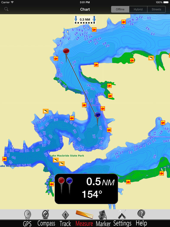
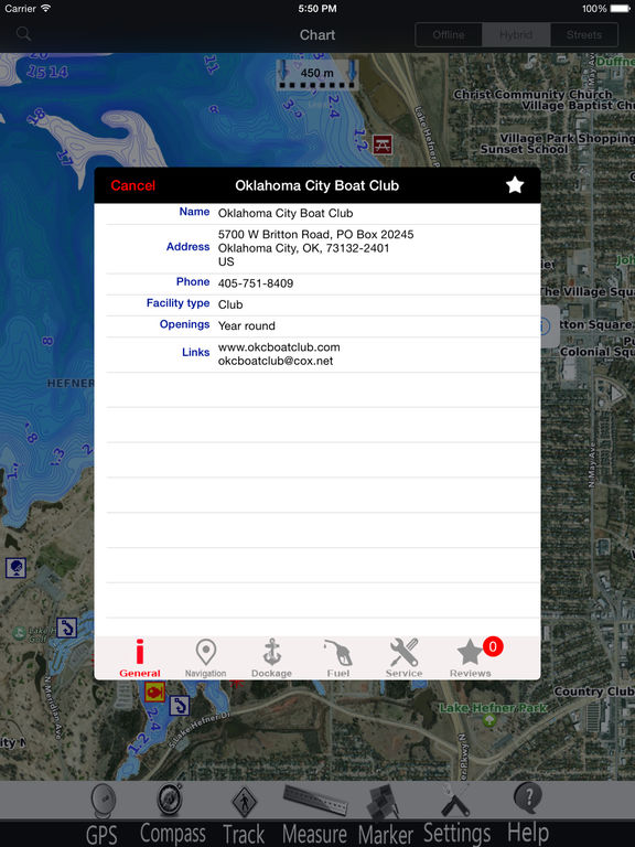
MapiTech launches on the market the best official up-to-date NOAA RNC (raster) combined with S57 nautical charts (digital): marinas, wrecks, fishing spots, boat ramps, POI.
This app displays seamlessly the beauty of NOAA paper charts, a "look and feel" experience combined with S57 data.
You will be impressed how appealing the raster charts look, how easily you pan and zoom and ..there's much more you will like about Mapitech App.
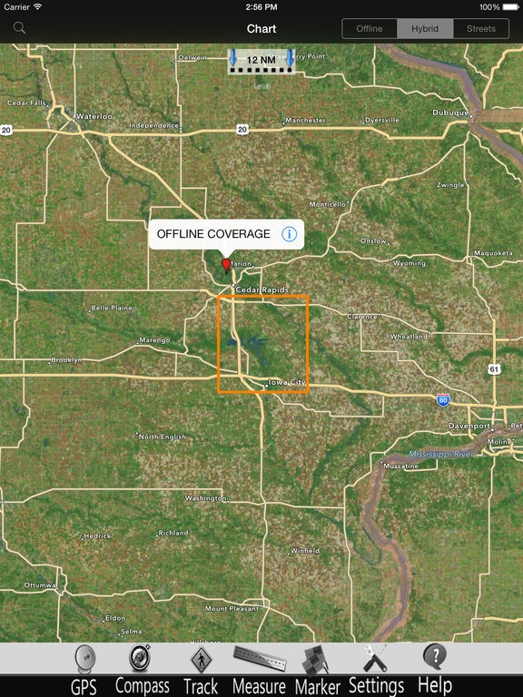
The interactive menu is very intuitive, the maps are downloaded to the device itself, it works in OFFLINE mode. No need of Internet connection.
Chart details and performances of a professional GPS chart plotter at a minimal cost.
At glance:
•It works without mobile coverage (OFFLINE)
•Powerful search
•Multiple overlays for different use (fishing, sailing or cruising)
•ActiveCaptain community integration
•KML data shareable
•Very detailed and updated charts
•Unlimited Waypoints
•Markers & Favorites
•Multiple tracks: Record your track, instant speed time, COG - course over ground
•Geo - tagged photo management
•Distance measure
•Compass
•GPS window with very detailed info
•User friendly on latest IOS
▶ What’s New :
Chart update
Latest iOS compatibility
Continued use of GPS running in background can decrease battery life. This only applies if background recording is enabled
iPad Screenshots
(click to enlarge)


App Changes
- October 17, 2016 Initial release
- June 14, 2019 New version 5.0
Other Apps From MAPITECH LTD