
What's New
Updated for iOS 15!
App Description
No Touch Aviation Weather!
I designed this app for my own use but my flying buddies wanted it too. Something simple. No map scrolling or typing!
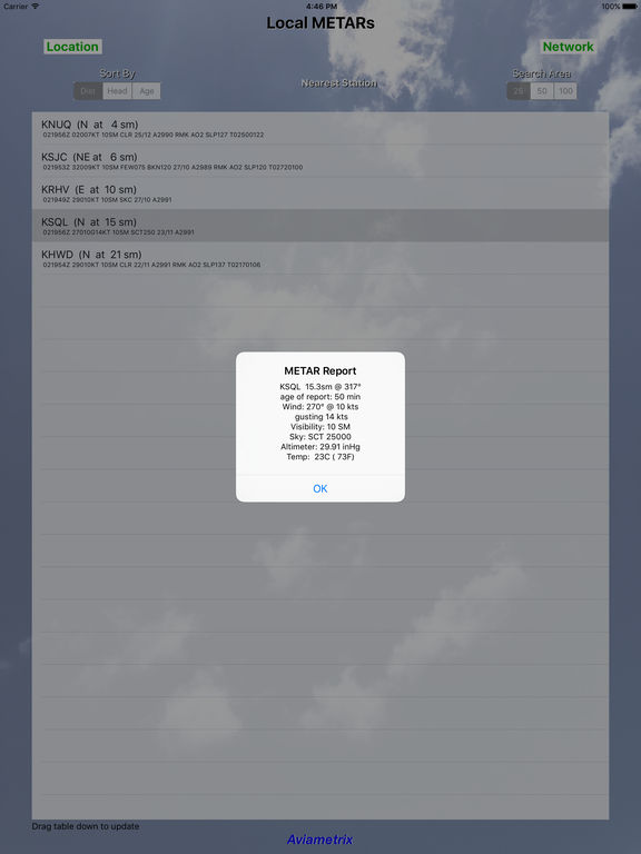
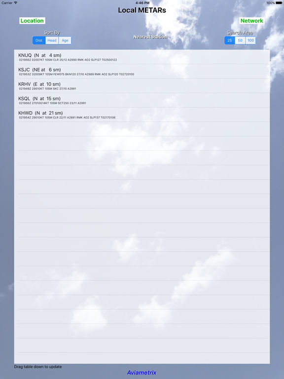
Run the app and up pops a detailed, translated METAR report from the closest station. Of course, you get all the nearby METAR reports, sorted by Distance or Bearing from your current location, or by age of the report. The app will fetch the last hour's reports, so you can look for trends at the Stations you are interested in. Press a button and the reports get filtered to show only the latest report from each station.
You can limit the reporting stations to 25, 50, or 100 statute miles. Want to fly cross-country? Sort the METARs by Heading and you can get a quick idea of what lies ahead.
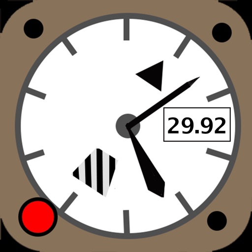
Tap any of the station reports in the table and you will get a clear, legible translation of the METAR, plus the calculated Relative Humidity, the estimated Cloud Base (from the standard lapse rate), the Station Elevation, and the estimated Density Altitude at the station.
These reports come straight from the National Weather Service and reports are updated every few minutes. Drag down on the Table of reports and the app will pull a fresh update from the server.
This app requires a Wifi or Cell data connection to fetch METARs.
iPhone Screenshots
(click to enlarge)


iPad Screenshots
(click to enlarge)
App Changes
- September 10, 2016 Initial release
- November 07, 2016 New version 1.0.1
- June 14, 2019 New version 1.1
- September 28, 2019 New version 1.2
- July 15, 2020 New version 1.3
- September 16, 2023 New version 1.4
Other Apps From Aviametrix, LLC