
App Description
Recreational Boating is a popular leisure activity around the World. Our app helps you find out more about the safety information to navigate in the water.
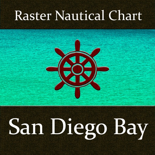
Map is integrated with NOAA Raster Nautical Charts, accurately overlaid charts on map which makes it easy for chart readability and smooth navigation.
OFFLINE map support (works without internet connection)!
Compass for easy directions (True/Magnetic)!
GPS for locating user position on map!
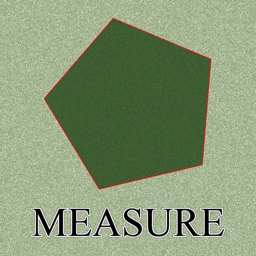
Measure Distance between any two points on map!
Add un-limited Markers on map & ability to email them!
Interactive Map Modes!
Easy to use map interface!
Enjoy Great Boating adventures!
iPhone Screenshots
(click to enlarge)


iPad Screenshots
(click to enlarge)


App Changes
- March 28, 2016 Initial release
Other Apps From Ramanand Chary