
App Description
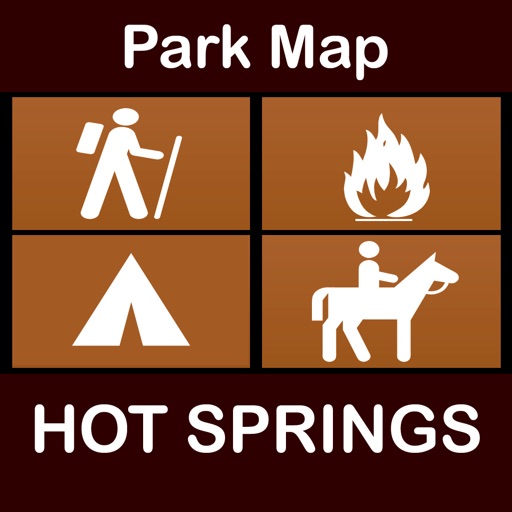
Easy to navigate National Park Map includes all Hiking, Biking, Self-guiding, Interpretive, Wheelchair accessible Trails, Campgrounds, Picnic Areas, Attractions, Restrooms, Parking areas and many point of interests which are integrated into the map.
Professional look ’n’ feel and all necessary map features. Map is designed to make national park navigation more easier than ever.
Get un-interrupted national park navigation with our new offline mode map support.
Find everything you need without internet connection.
Map Features:
- Full Offline map support.
- Insert Un-Limited Map Favorited (Geo-Tagged). Allows to update and email Favorites.
- Measure distance between any two points on map.
- Geo-Location updates even when in Offline mode.
- Dynamic user-interface.
- Explores all park Point-of-Interests on map.
- Compass Support (True and Magnetic Directions)
- Interactive Map Modes (Online & Offline)
Park map is most advanced offline navigation tool with all the information collected from National Park Service and local sources. Map covers all trails, rivers, lakes with in the park. National park boundary is as per NPS. All roads and railways are from TIGER.
This map will be fun friendly in discovering the national park & covers everything of the park features.
iPhone Screenshots
(click to enlarge)


iPad Screenshots
(click to enlarge)


App Changes
- March 11, 2016 Initial release
Other Apps From Ramanand Chary