
What's New
Support added on iOS 9 and above for 3D satellite views in areas supported by Apple (examples include London, Lake District)
If you like the app then please leave a review comment on the App Store.
In App Purchasing was recently added. Initially available purchases focus on British National Parks at 1:25K scale. The maps are supplied by Ordnance Survey, with addition of extensive footpaths from @OpenStreetMap contributors.
The following 1:25K map In App Purchases are available at competitive prices: -
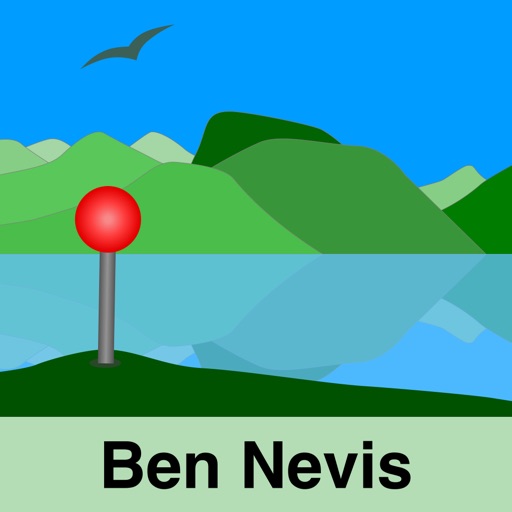
- Ben Nevis & Glen Coe
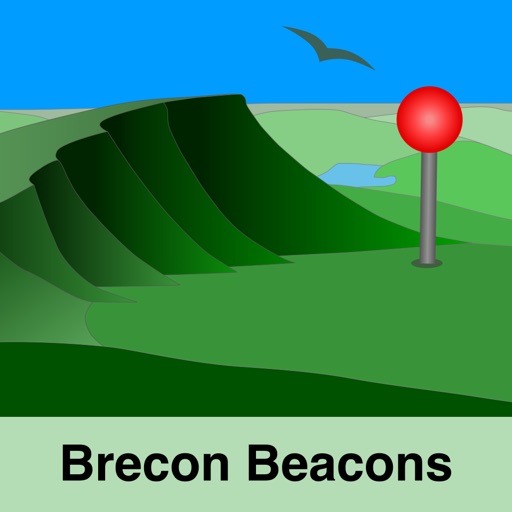
- Brecon Beacons
- Cairngorms
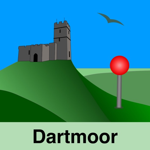
- Dartmoor
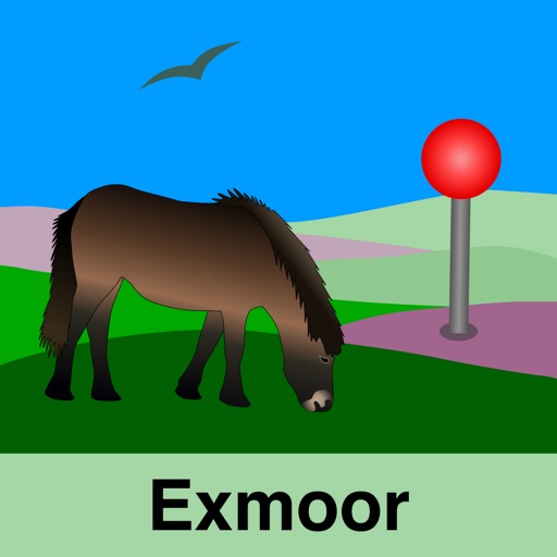
- Exmoor
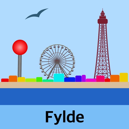
- Fylde (Free)
- Lake District
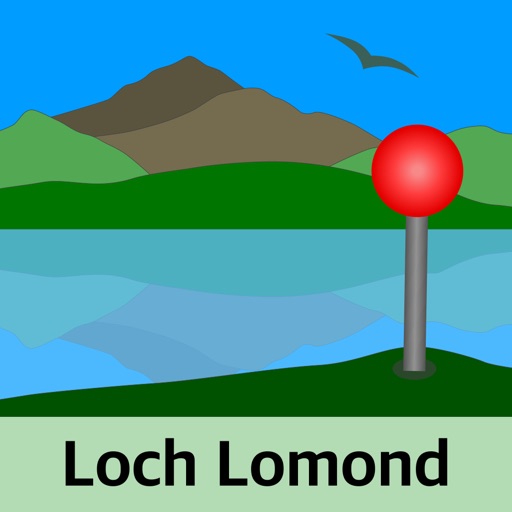
- Loch Lomond
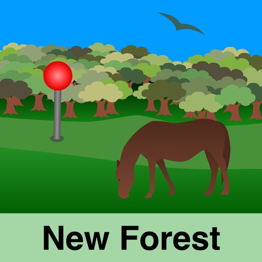
- New Forest
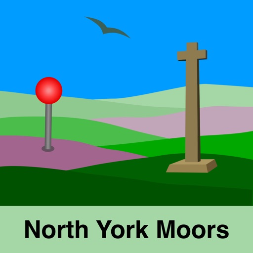
- North York Moors
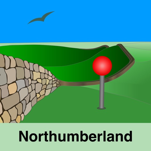
- Northumberland (National Park)
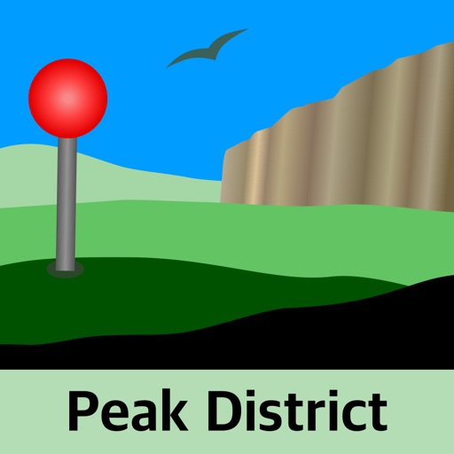
- Peak District
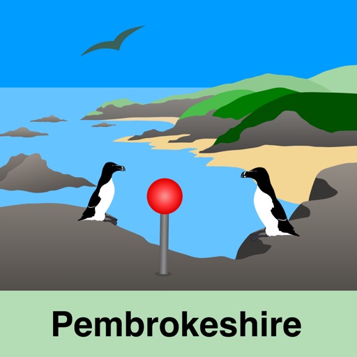
- Pembrokeshire
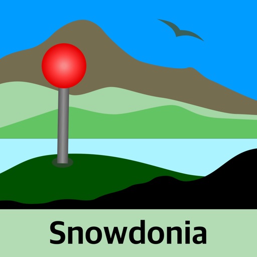
- Snowdonia
- South Downs
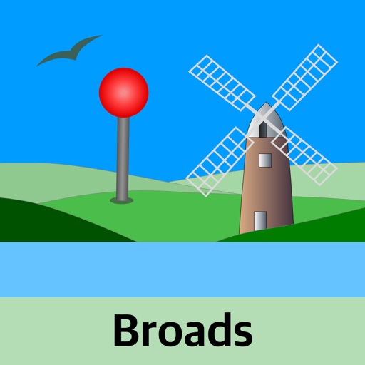
- The Broads
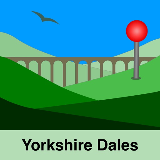
- Yorkshire Dales
The map regions of the more detailed maps cover a rectangular region around the national park boundaries (ref. http://jomosolutions.com/Maps)
- Contours with height information and annotated height points
- Extensive footpaths from ©OpenStreetMap contributors
- National Park boundary demarkation
Check out our revised App Preview video and screen shots on the App Store.
App Description
Beautifully detailed maps supplied by Ordnance Survey.
As featured in Ordnance Survey's OS OpenData innovative application showcase.
A 1:250K scale map of GB is included with the app.
The following 1:25K map In App Purchases are available at competitive prices: -
- Ben Nevis & Glen Coe
- Brecon Beacons
- Cairngorms
- Dartmoor
- Exmoor
- Fylde (Free)
- Lake District
- Loch Lomond
- New Forest
- North York Moors
- Northumberland (National Park)
- Peak District
- Pembrokeshire
- Snowdonia
- South Downs
- The Broads
- Yorkshire Dales
The map regions of the more detailed maps cover a rectangular region around the national park boundaries (ref. http://jomosolutions.com/Maps)
- Contours with height information and annotated height points
- Extensive footpaths from ©OpenStreetMap contributors
- National Park boundary demarkation
App
- Offline access to Ordnance Survey (OS) Great Britain (GB) maps published in 2014/2015. (No data connection required)
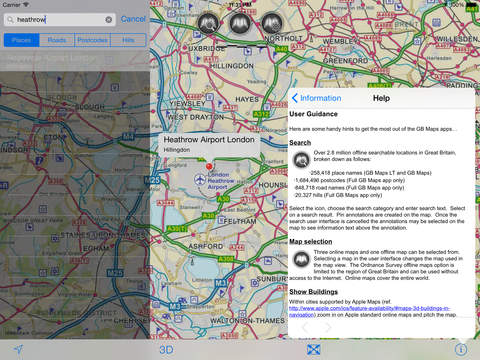
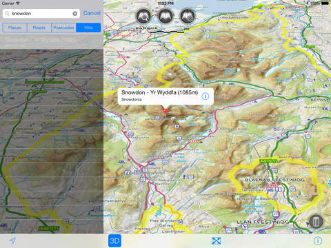
- Offline search functionality with over 2.8 million GB searchable locations (places, roads, post codes and hills). No data connection required.
-258,418 place names
-1,684,496 post codes
-848,718 road names
-20,327 hills
For the place name search the location's latitude and longitude are accurate to 0.1 of a minute of the centre point of the National Grid square (1 km by 1 km) in which the name falls.
- Detailed hill information, including height, location, classification with hill specific links to Streetmap, Geograph and Hill Bagging web sites.
- Online access to worldwide Apple Standard, Satellite and Hybrid maps.
- Apple 3D Buildings are displayed on Apple Standard maps.
- Apple maps contain Points of Interest.
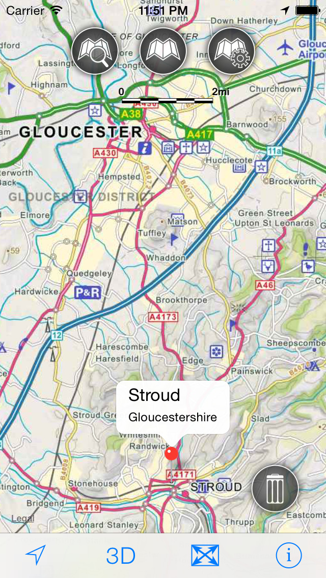
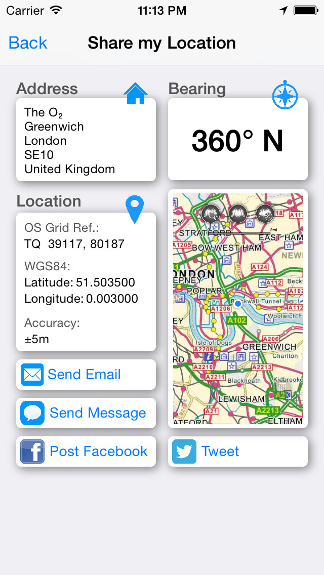
- Display of current location information (optionally as a GB Ordnance survey grid reference)
- User location can be tracked with or without heading on all online and offline maps (GPS capable devices only)
- "Share My Location" allowing users to share an image of their current location and location references. Buttons are provided to share location information by Facebook, Twitter, iMessage/SMS and e-mail.
- Display of scale bar in either metric or imperial units.
- Display of current speed.
- Zoom, pan, rotation of all maps.
- Pitch of Apple standard and Ordnance Survey maps.
- Selection of current location annotation for display of speed and location data.
- User setting for speed display in Miles per Hour (mph) or Kilometers per Hour (kph)
- User setting for display of current GPS position as Ordnance Survey Grid Reference or WGS84 latitude and longitude.
- Selection of search result pin annotations to display location information.
- Collective deletion of search result annotation pins.
- A user guide is provided within the app.
The 1:250 000 scale map was published by OS in Jan 2014. It clearly shows the landscape features relevant to its scale, including relief, cities, towns, many villages, motorways, A and B class roads, railways, rivers and some woodlands.
The OS search data was published by Ordnance Survey in 2014.
Extracts from "The Database of British and Irish Hills" v14 published 22/04/2014 (ref. http://www.hills-database.co.uk/index.html )
No warranty
The data is supplied by Apple, Ordnance Survey, contributors to OpenStreetMap and Database of British and Irish Hills.
The Information is licensed 'as is' and the Information Provider and/or Licensor excludes all representations, warranties, obligations and liabilities in relation to the Information to the maximum extent permitted by law.
The Information Provider and/or Licensor are not liable for any errors or omissions in the Information and shall not be liable for any loss, injury or damage of any kind caused by its use.
This app is not a substitute for a paper map and compass.
iPhone Screenshots
(click to enlarge)


iPad Screenshots
(click to enlarge)


App Changes
- February 20, 2015 Initial release
- February 23, 2015 Price decrease: $1.99 -> FREE!
- February 26, 2015 Price increase: FREE! -> $1.99
- March 06, 2015 New version 1.1.0
- August 02, 2015 Price decrease: $1.99 -> FREE!
- August 03, 2015 Price increase: FREE! -> $1.99
- September 15, 2015 Price decrease: $1.99 -> FREE!
- October 04, 2015 Price increase: FREE! -> $0.99
- December 01, 2015 Price increase: $0.99 -> $1.99
- February 07, 2016 Price decrease: $1.99 -> FREE!
- February 15, 2016 Price increase: FREE! -> $1.99
- July 03, 2016 New version 1.2.1
- July 03, 2016 Price decrease: $1.99 -> FREE!
- July 15, 2016 New version 1.3.0
- August 05, 2016 New version 1.4.0
Other Apps From JOMO Solutions Ltd.