
What's New
- Works now within 500 main cities
- optimized also for children, those who can't read maps etc.
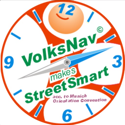
- attention: the icon and the logo changed in favor of the additional target groups
App Description
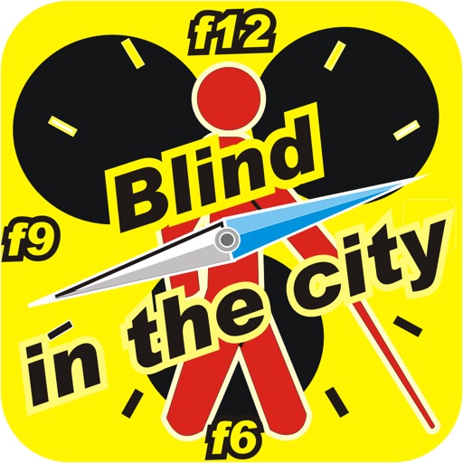
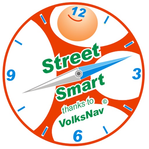
Blind in the City / free in Berlin is a navigation tool based on the Munich Orientation Convention.
It divides Berlin and other German cities like a cake into 12 sectors and also lets you know location codes, making it easier to answer the question "where?" than with names, post codes, lat/lon or “here” on maps.
This app works with GPS and VoiceOver, includes a compass and also lets know the direction to the centre of town. With this, anyone can VolksNavigate(c), that means, guide himself around the centre as elegantly as in Rio de Janeiro around the Statue of Christ: inwards/outwards and clockwise/counter clockwise.
Blind in the city is suitable for all those who can't or don’t like to read maps and/or prefer to deal with 12 instead of 360 directions. The main benefits are a higher awareness for locations, directions, distances and angles, a common language for all nations and a self-guiding in many cases.
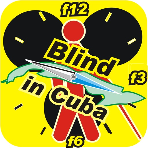
Other apps for cities acc. to www.volksnav.de/mapplet will be released.
iPhone Screenshots
(click to enlarge)

App Changes
- August 31, 2014 Initial release
- October 03, 2014 New version 2
- May 02, 2015 New version 3
- May 21, 2015 New version 3.1
- June 15, 2019 New version 4
Other Apps From Henrique Kohler