
What's New
Improved app speed and responsiveness
Updated map data and points of interest
App Description
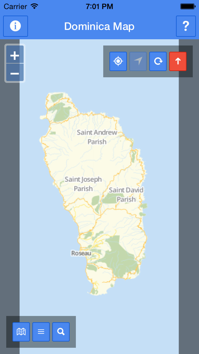
Dominica map provides a detailed and easy-to-use map based on data from OpenStreetMap project, a publicly available geographic database with global coverage.
The application has the following features:
* high detail map of the island
* street search: you can search a street by name
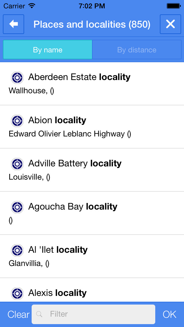
* beaches, places and localities, tourism related points of interest and many more useful categorized spots that you can easy show or hide on the map
* browsing of points of interest by category
* full offline browsing
* display of your current position
* the map can rotate and optionally auto-rotate to follow your current heading
Check out www.openstreetmap.org for more information and to contribute to the project.
The map covers the box ranging from (-61.50440751533205, 15.168897461431612) to (-61.18923722724611, 15.66733202452211) - WGS84 coordinate projection system.
The data displayed has been updated on 2015-03-27.
Map data © OpenStreetMap contributors.
OpenSteetMap data is available under the Open Database Licence: www.opendatacommons.org/licenses/odbl.
You can find the full information about OpenStretMap data licensing at this page: www.openstreetmap.org/copyright
iPhone Screenshots
(click to enlarge)


iPad Screenshots
(click to enlarge)


App Changes
- July 28, 2014 Initial release
- July 30, 2014 Price increase: FREE! -> $0.99
- August 05, 2014 New version 1.2.0
- April 14, 2015 New version 1.4
Other Apps From INMAGIK SRL