
What's New
- Fixed Visibility and temp/dewpoint translation for METARs and TAFs
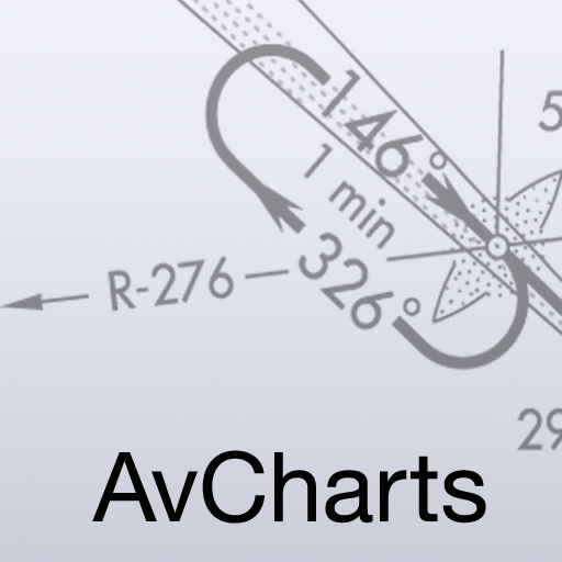
App Description
Aviation weather for Pilots. Retrieve METARs, TAFs, and Weather Charts for airports in the US. Also includes access to sectional charts and displays a list of nearest airports to your location.
Features:
-METARs, TAFs, PIREPs, NOTAMs, and Winds Aloft
-Nearest Airports using GPS
-Search by City/State, name or Airport Identifier
If you have any other questions or problems please contact support at [email protected]
iPhone Screenshots
(click to enlarge)


iPad Screenshots
(click to enlarge)


App Changes
- November 18, 2011 New version 2.3.1
- July 07, 2012 New version 2.3.2
- April 24, 2013 Price increase: $9.99 -> $14.99
- April 30, 2013 New version 2.3.3
- May 04, 2013 New version 2.3.4
- July 16, 2016 Price decrease: $14.99 -> $4.99
- November 05, 2016 Price increase: $4.99 -> $19.99
- January 05, 2017 New version 3.0
- January 05, 2017 Price decrease: $19.99 -> $4.99
- January 06, 2017 New version 3.0.1
- June 14, 2019 New version 3.4
Other Apps From Mobile Dev Group LLC