
App Description
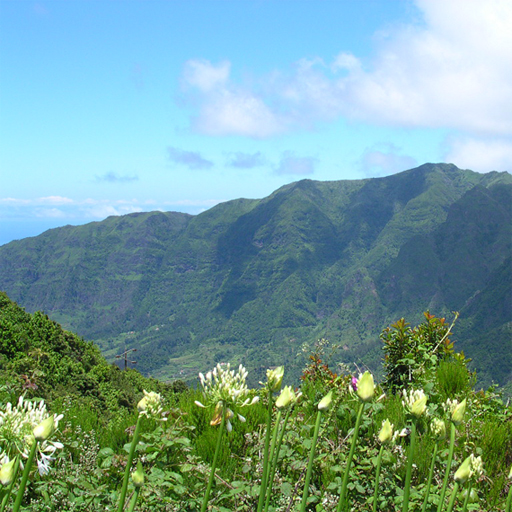
“Caminho Real” or "Royal path", is the designation given to the mainland roads built before the establishment of the Portuguese Republic. In Madeira Island, most arose on the initiative of the governors or general captains, functioning as an alternative and complement to the existing maritime connections.
The walks are organized by the Caminho Real Association and support hikers, who must make long journeys through unmarked trails. The information is maintained on its website: http://caminhoreal.pt.
The Caminho Real da Madeira Application aims to provide hikers with information about the routes and the different options they may have when they decide to take them, seeking to improve the experience that is lived when carrying out each of the routes or all of them.
The features developed and supported in the application are the following:
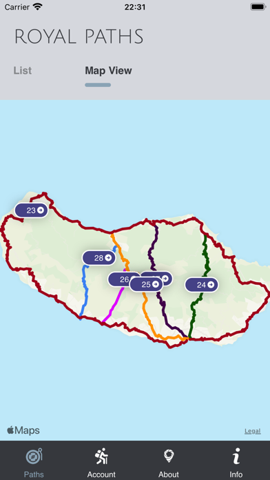
- Maps of the various Royal Paths in Madeira Island.
- Tour recommendations on various factors (time, starting point, points of interest, among others).
- Includes points of cultural, natural, historical, architectural, and ethnographic interest.
- Assessment by hikers on suggested routes.
- Photographic content about the various routes.
The application was developed within the scope of the SMARTDEST project (MAC/1.1b/133), for the enhancement of technological solutions for Smart Tourist Destinations and collaboration between them, financed by the POMAC 2014-2020 program. The development was a partnership between the University of Madeira, the Caminho Real Association, and the company WOW Systems.
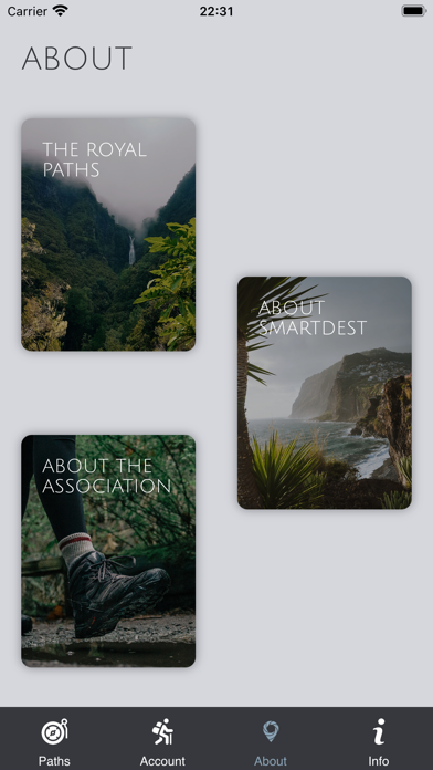
iPhone Screenshots
(click to enlarge)


App Changes
- May 31, 2022 Initial release
Other Apps From Wowsystems - Inform�tica Lda.