
What's New
Bug fixing and performance improvement
App Description
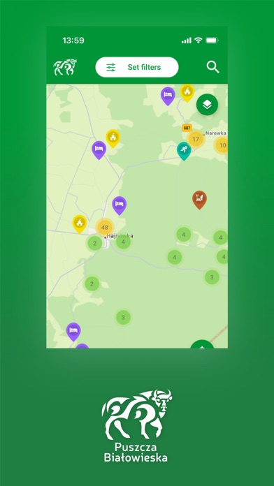
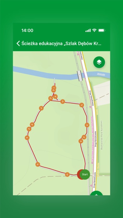
Routes are designated in three categories: hiking, biking, Nordic walking.
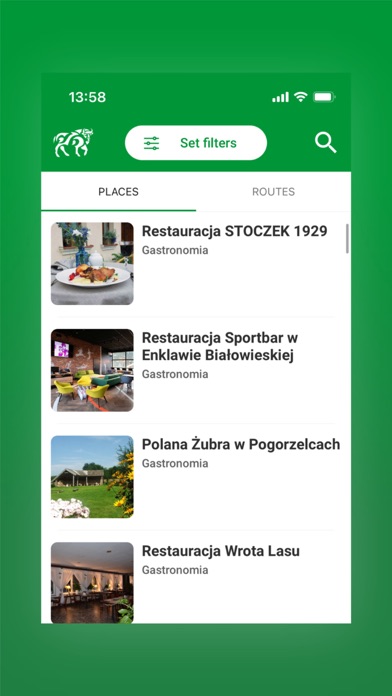
The map shows the most important tourist attractions with photos and descriptions, as well as resting places (shelters, MORs).
Additionally, the users can report obstacles, impassable routes, lack of signposting, damages and suggestions for improvements.
The application allows you to save and share the route with other users and download the gpx track directly to your phone.
Białowieża Primeval Forest tourist trails have also their own web version in a form of map portal www.mapa.bialowieza.travel.
We invite you to download and try the Bialowieza Forest Trails application.
The project was realized with the financial support of the Ministry of Development and Technology, Podlaskie Voivodeship
iPhone Screenshots
(click to enlarge)


iPad Screenshots
(click to enlarge)


App Changes
- September 15, 2023 Initial release
Other Apps From Mapotic s.r.o.