
App Description
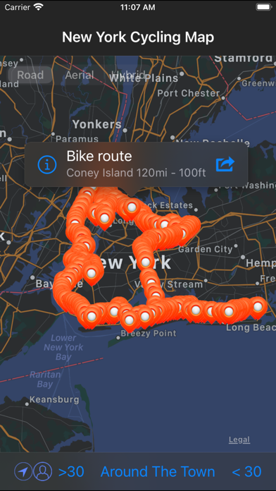
New York is one of the most walkable cities in the world, thanks in part to Manhattan’s grid-pattern layout. But with more than 1,200 miles of bike lanes and routes—many of which have been added in the past decade—it’s also quite bike-friendly. Two-wheeled transit is an increasingly popular and accessible way to navigate the City while taking in some extraordinary vistas on your way. Bonus for visitors: you can squeeze in more sightseeing in a shorter amount of time.
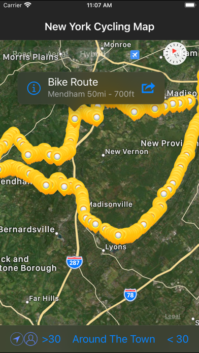
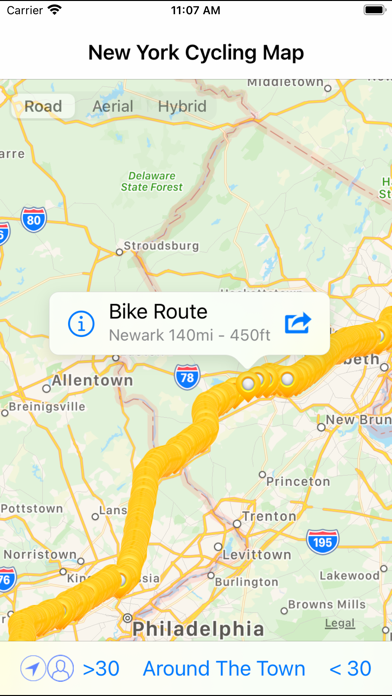
In this application you will find:
•more than 1000 km cycle routes
•current and complete cycle ways
•maps and routes
•showing cycle route locations
•showing user's location
•tips for riding safely
•advices for new riders
•sharing map location and information
•sharing map routes
•Facebook and Twitter integration
•display a Map in different styles (Road, Aerial, Hybrid)
iPhone Screenshots
(click to enlarge)

iPad Screenshots
(click to enlarge)


App Changes
- May 04, 2021 Initial release
Other Apps From Zuzana Hunadyova