What's New
- bug fixes
App Description
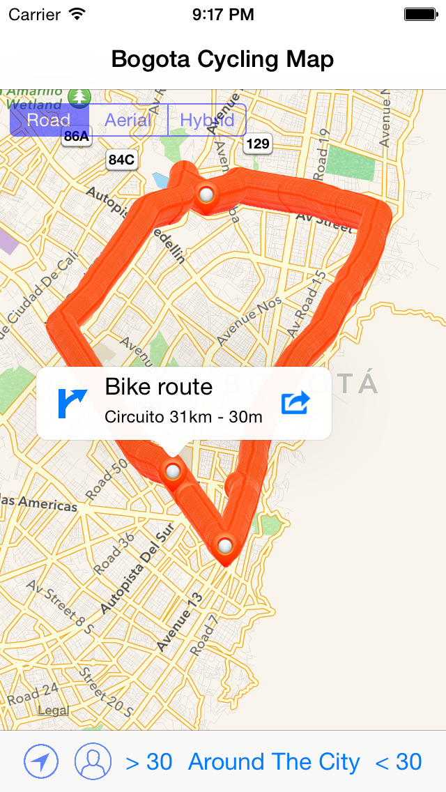
Bogotá is the Colombian city with the most extensive and comprehensive network of bike paths. Bogotá’s bike paths network or Ciclorutas de Bogotá in Spanish, designed and built during the administration of Mayors Antanas Mockus, Enrique Peñalosa and Samuel Moreno, is also one of the most extensive in the world, with a total extension of 376 kilometres (234 miles). It extends from the north of the city, 170th Street, to the south, 27th Street, and from Monserrate on the east to the Bogotá River on the west.
The design of the network was made taking into consideration the morphology and topography of the city. This is, from north to south the city has a flat topography and from east to west the city has varying degrees of inclination.
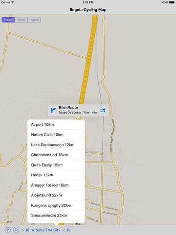
Intent of this application is to help you to find various locations where you could spend some time either with your bicycle or family or dog eventually with everything altogether.
In this application you will find:
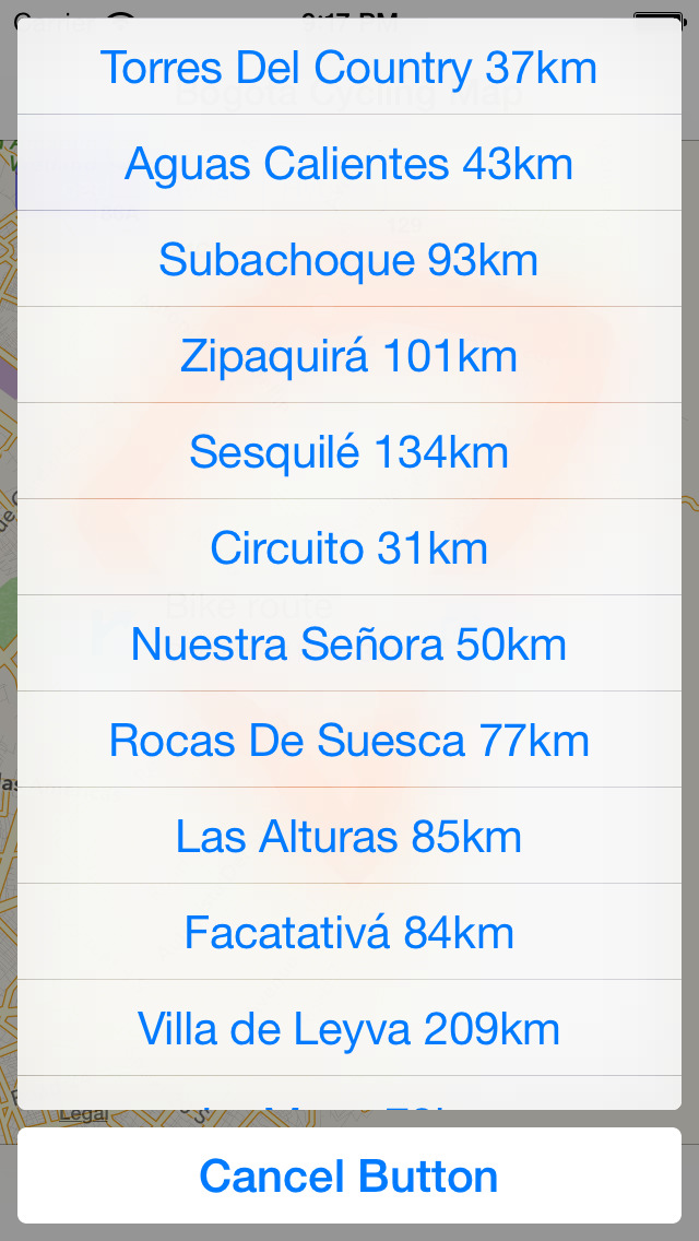
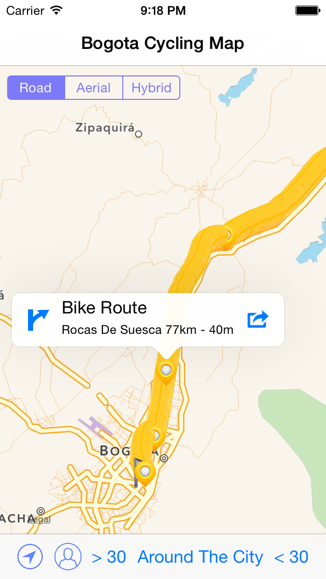
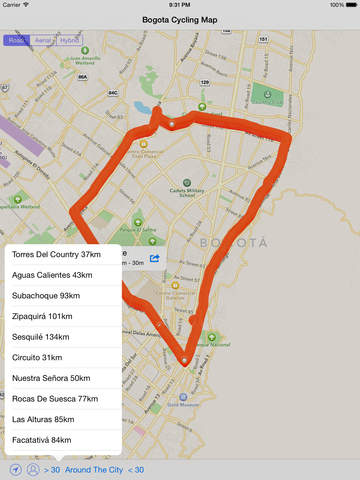
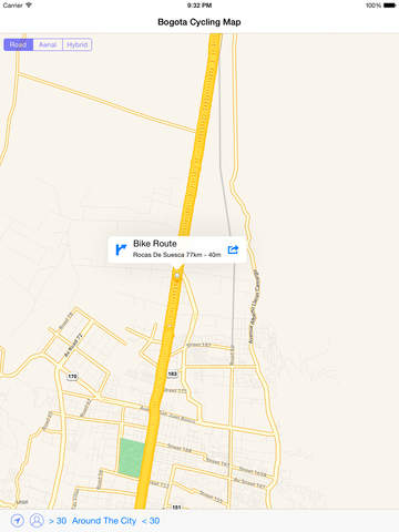
• current and complete cycle ways
• maps and routes
• showing cycle route locations
• showing user's location
• tips for riding safely
• advice for new riders
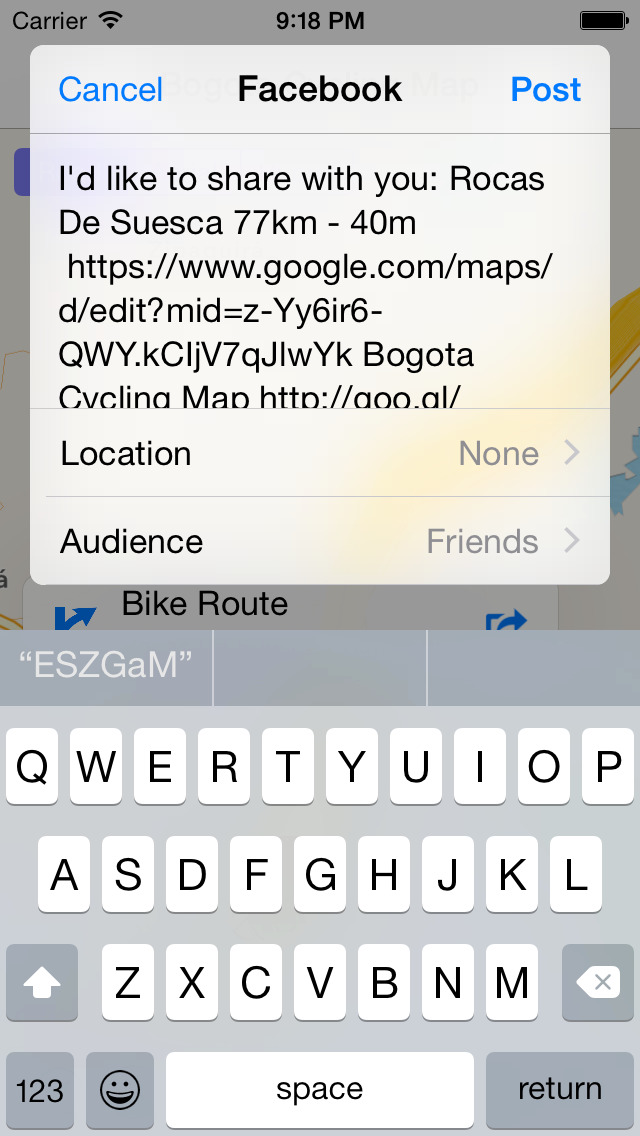
• sharing map location and information
• sharing map routes
iPhone Screenshots
(click to enlarge)

iPad Screenshots
(click to enlarge)


App Changes
- January 28, 2015 Initial release
- June 13, 2019 New version 1.1
- May 06, 2021 New version 1.2
Other Apps From Zuzana Hunadyova