App Description
App Video Link : https://youtu.be/JRpMabLAexA
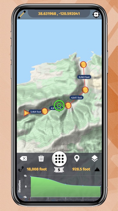
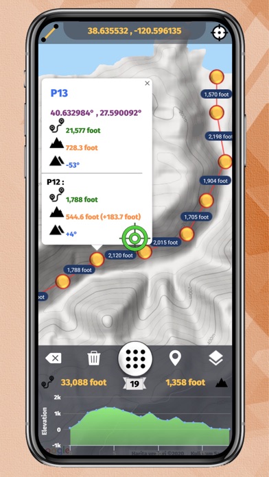
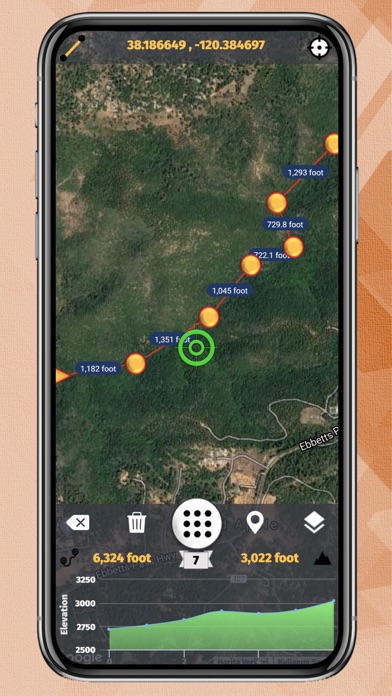
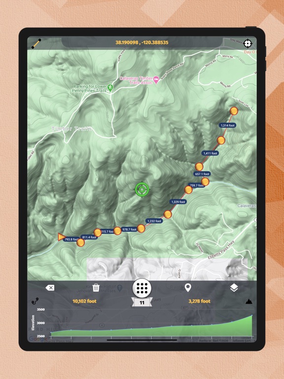
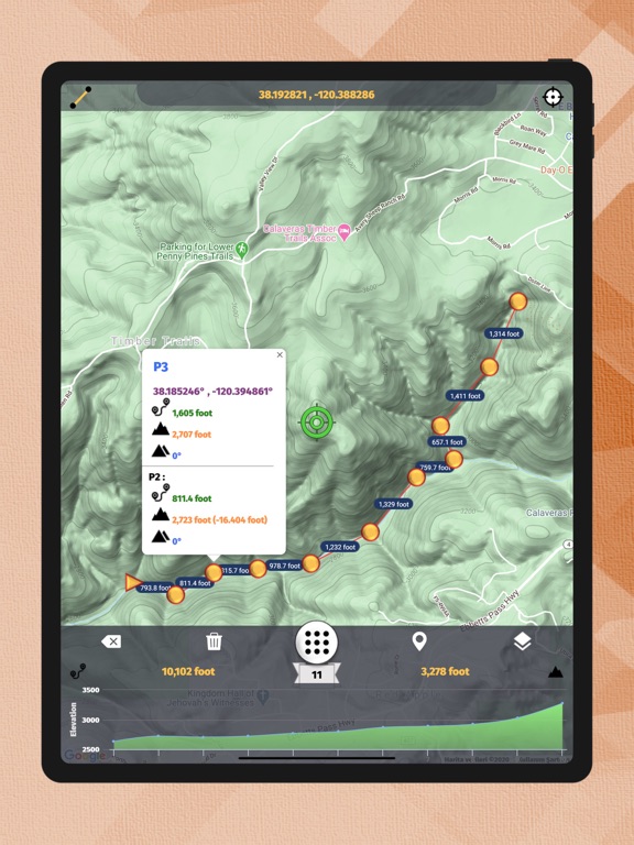
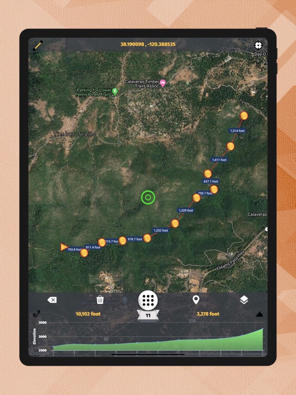
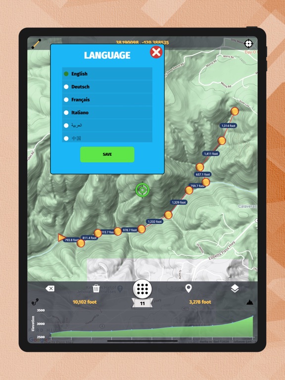
The application displays all elevation/altitude on the route determined instantly with high precision graphically. It also gives the slope, distance and height changes at each point. The distance and angle of the current point from the starting point are given.
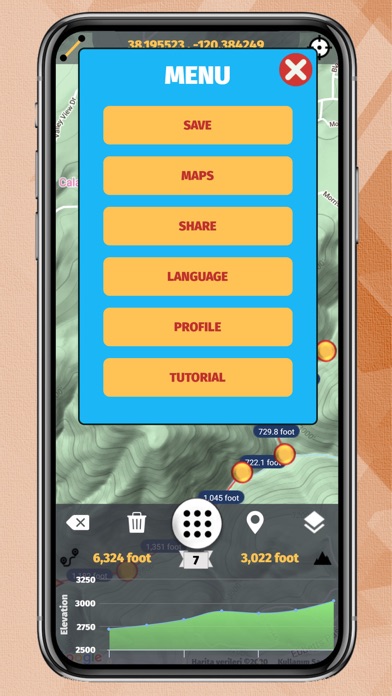
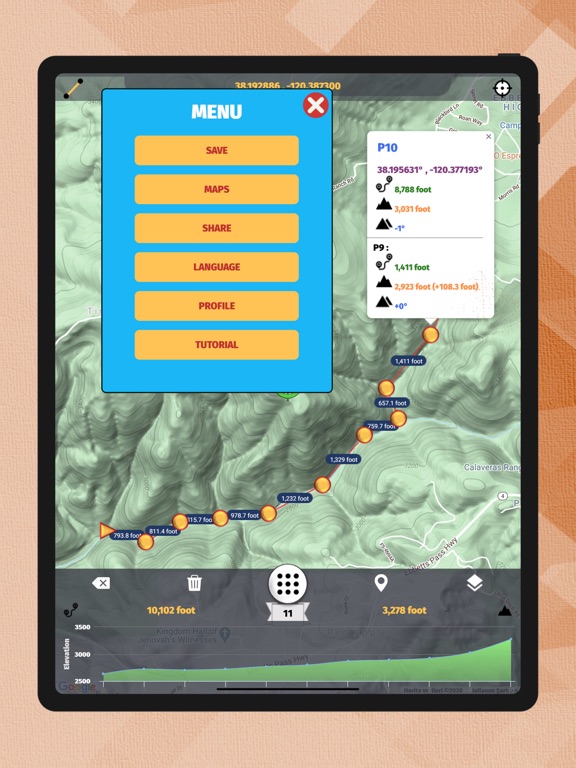
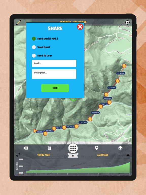
Unlimited route is created and saved through the application. If requested, the created route is shared as E-Mail and KML.
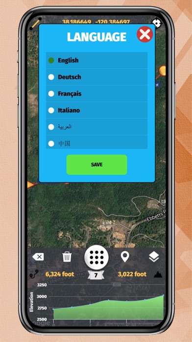
The application allows you to use the application in your own language with a total of 50 different language support.
You can use Metric and Imperial units in the application.
You can save, reload and share route and path.
It tracks you instantly on the map with Tracking Mode and shows you where you are.
iPhone Screenshots
(click to enlarge)

iPad Screenshots
(click to enlarge)
App Changes
- July 14, 2020 Initial release
Other Apps From Oceanic Software