

What's New
fix for landscape orientation
App Description
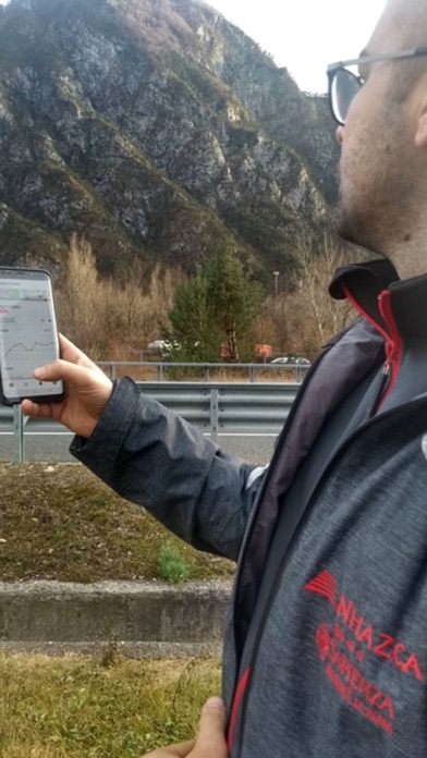
INSarPECT is the tool developed by NHAZCA for a quick view of satellite InSAR results on map. INSarPECT supports the field surveys as you can combine and superimpose satellite InSAR data with your collected field data, simply through your mobile devices. Your field teams can then collect records including geo-referred information such as text, photos, videos, vocal notes, and more. This ensure that any inspection report is linked exactly to the location where issues were found. No more pen and paper needed. Everything will be recorded as is and synchronized with the server and all other linked mobile devices. INSarPECT also assures that InSAR results are used to their maximum potential, closing the loop between satellite and field work.
iPhone Screenshots
(click to enlarge)

App Changes
- August 16, 2019 Initial release
- September 11, 2019 New version 1.2.1
Other Apps From Pixelfield, s.r.o.