
What's New
Bug fixing
App Description
A detailed guide to the Kruger National Park Kruger North: This app covers the area from Bobbejaankrans and Satara, north, up to and including Crooks Corner.
Information includes:
-Meaning of place names
-Easy tree identification
-Geology of points of interest
-History relating to points of interest
-GPS Co-ordinates
-Tourist information
-Names of animals, birds and trees in English, Latin, Afrikaans and German
Rich Content:
-56 detailed, interactive map pages
-164 points of interest describing camps, water holes, historical sites, bird hides, picnic places and viewpoints.
-Over 200 photos of the waypoints above.
-106 photos of common birds found in the Park
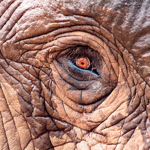
-60 photos and interesting facts of the common animals found in the Park
Interface:
-Two "scrollable" pages highlighting 12 major categories
-Each category has further "scrollable" pages with alphabetical index
-Search facility for all content in app
-Interactive Animal Count Table allowing visitors to record the numbers of animals of each species seen on each day in the Park.
-Interactive Bird Checklist Table
-Not Internet dependent
iPad Screenshots
(click to enlarge)


App Changes
- June 14, 2018 Initial release
- June 14, 2019 New version 1.1
Other Apps From Peter Derichs