
What's New
Spring 2024
Updates: Contains the latest data by the National Park Service (NPS), Bureau of Land Management (BLM), United States Forest Service (USFS) and recreation.gov.
App Description
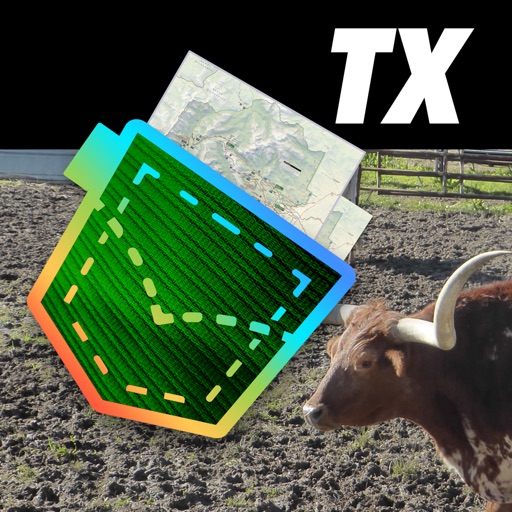
Be prepared! Plan your next trip to one of the great Texas parks. Download maps and guides before you venture into the Wi-Fi free wilderness.
Discover
- 110+ national parks, state parks, monuments, forests
- 90+ neatly folded maps by the National Park Service, Bureau of Land Management, United States Forest Services, and other agencies.
- Motor Vehicle Use Maps (MVUM), Motor Vehicle Travel Maps (MVTM) and visitor maps for Texas national forests.
- 800+ campgrounds and campsites
- 1,800+ trails and trailheads
- 130,000+ points of interests
Plan
- Download maps, park brochures, and newspapers. These downloads are ready when you are offline and off the grid in the great outdoors.
- Download arbitrary map sections as offline packs.
- Photo galleries, panorama views.
- Share links to parks and maps with friends
Have fun
- GPS and GPX support: record your hikes, import GPX routes, tracks and waypoints for your hiking trails.
- Detailed national park information: alerts, news, visitor centers, campgrounds, driving directions, weather.
- Open your favorite maps app to get a route to the selected park.
- Current weather conditions, easy access to multi-day forecasts, sunrise and sunset times.
- Push notifications for park alerts, park news, weather warnings
So download maps and guides for:
- Abilene, Alibates Flint Quarries, Amistad, Anahuac, Angelina, Aransas, Atlanta, Attwater Prairie Chicken
- Balcones Canyonlands, Balmorhea, Bastrop, Bentsen-Rio Grande Valley, Big Bend, Big Bend Ranch, Big Bogggy, Big Spring, Big Thicket, Blanco, Bonham, Brazoria, Brazos Bend, Buescher, Buffalo Lake
- Caddo, Caddo Lake, Caprock Canyons, Carlsbad Caverns, Cedar Hill, Chamizal, Chickasaw, Choke Canyon, Cleburne, Colorado Bend, Cooper Lake, Copper Breaks
- Daingerfield, Davis Mountains, Davy Crockett, Devils River, Devil's Sinkhole, Dinosuar Valley
- Eisenhower, El Camino Real de los Tejas, El Camino Real de Tierra Dentro, Enchanted Rock, Estero Llano Grande
- Fairfield Lake, Falcon, Fort Davis, Fort Parker, Franklin Mountains
- Garner, Government Canyon, Grulla, Guadalupe Mountains
- Hagerman, Hill Country, Hueco Tanks, Huntsville
- Inks Lake
- Kickapoo Cavern
- Laguna Atascosa, Lake Bob Sandlin, Lake Brownwood, Lake Colorado City, Lake Meredith, Lake Mineral Wells, Lake Tawakoni, Lake Whitney, Longhorn Cavern, Lost Maples, Lower Rio Grande Valley, Lyndon B Johnson
- Martin Creek Lake, McFaddin, Mission Tejas, Monahans Sandhills, Muleshoe, Mustang Island
- Neches River
- Padre Island, Palo Alto Battlefield, Palo Duro Canyon, Pedernales Falls, Posssum Kingdom, President William Jefferson Clinton Birthplace Home, Purtis Creek,
- Ray Roberts Lake, Resaca de la Palma, Rio Grande
- Sabine, Sam Houston, San Angelo, San Antonio Missions, San Bernard, Santa Ana, Sea Rim, Somerville Lake, South Llano River
- Texas Point, Trinity River
- Waco Mammoth, Washita Battlefield, White Sands
- FULL ACCESS is available for a for $3.49/three month (after a free 3-days trial period) or $2.49/two months or $7.49/year. You can subscribe and pay through your iTunes account. The account will be charged for renewal within 24-hours prior to the end of the current period, and identify the cost of the renewal. Your subscription will automatically renew unless canceled at least 24 hours before the end of the current period. Auto-renew can be turned off anytime by going to your Account Settings in iTunes after purchase.
- Continued use of GPS running in the background can dramatically decrease battery life.
LEGAL
Terms of Use: https://www.icoat.de/pocketmaps/terms
Privacy Policy: https://www.icoat.de/pocketmaps/privacy
iPhone Screenshots
(click to enlarge)


iPad Screenshots
(click to enlarge)


App Changes
- June 17, 2019 Initial release
- August 17, 2019 New version 2.0
- October 15, 2019 New version 2.3
- December 31, 2019 New version 2.5
- July 15, 2020 New version 3.0
- October 28, 2020 New version 3.2
- November 12, 2020 New version 3.4
- September 16, 2023 New version 5.9
- November 15, 2023 New version 6.0
- April 25, 2024 New version 6.3
Other Apps From Alex Gugel