
What's New
This app has been updated by Apple to display the Apple Watch app icon.
App Description
Please see the full map at http://RobLabs.com/ntier
What to see
— Featured locations from Ely, Minnesota to Prairie Portage
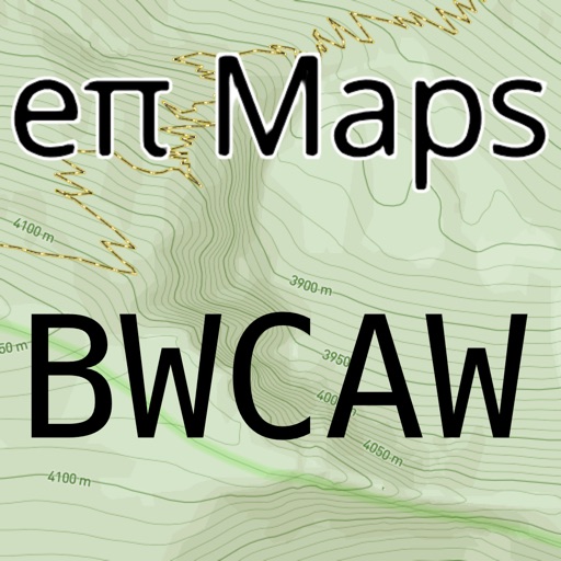
- Topographic map of the Boundary Waters Canoe Area Wilderness and Superior National Forest
The map is based on US Forest Service 7.5 quadrangles.
Your privacy, your trip
— After the initial download from the Apple App Store, no server is necessary
— We don't track your location
— We don't have analytics in our app
— We don't care where you go, we just want you to enjoy yourself safely
eπ Maps is powered by Open GL with high performance vector based maps built with Open Map Tiles, and high performance raster maps built with GDAL and WebP.
Usage
— Pan to move
— Pinch to zoom
— Use two fingers to rotate
— Double-tap to zoom in one level
— Two-finger single-tap to zoom out one level
— Double-tap, long-pressing the second, then pan up and down to "quick zoom" (one hand mode)
Legal
— Publisher assumes no liability for safety or condition of roads or trails. Map is not intended for navigational use and is not represented to be correct in every aspect. Consult federal, state, and local laws for current regulations.
— © OpenStreetMap contributors
— © Open DEM, Open Database License (OdBL)
— Please see the full terms and conditions at http://RobLabs.com/Legal
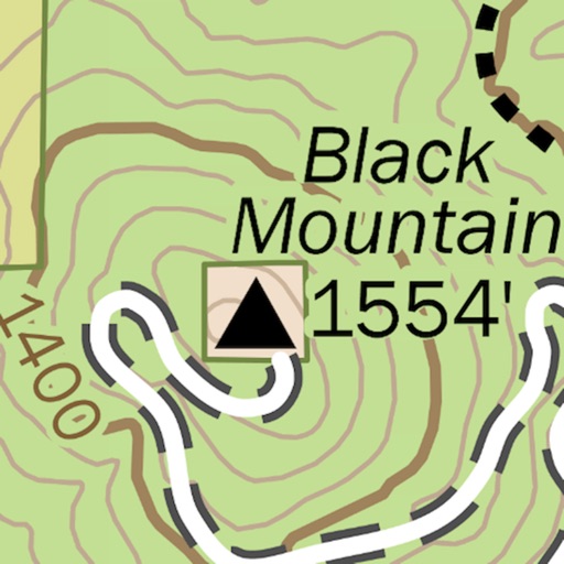
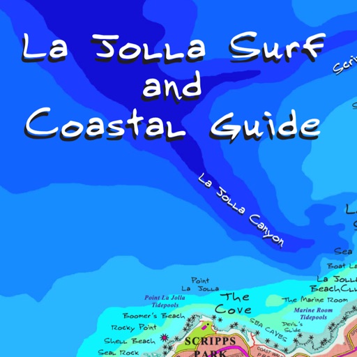
iPhone Screenshots
(click to enlarge)


iPad Screenshots
(click to enlarge)


App Changes
- June 16, 2019 Initial release
Other Apps From ePi Rational, Inc.