
App Description
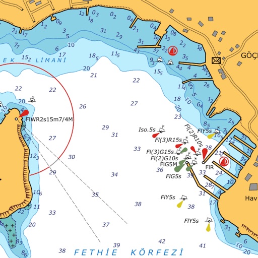
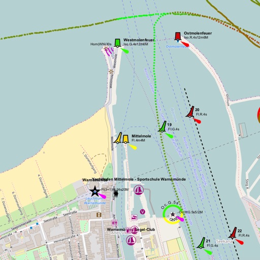
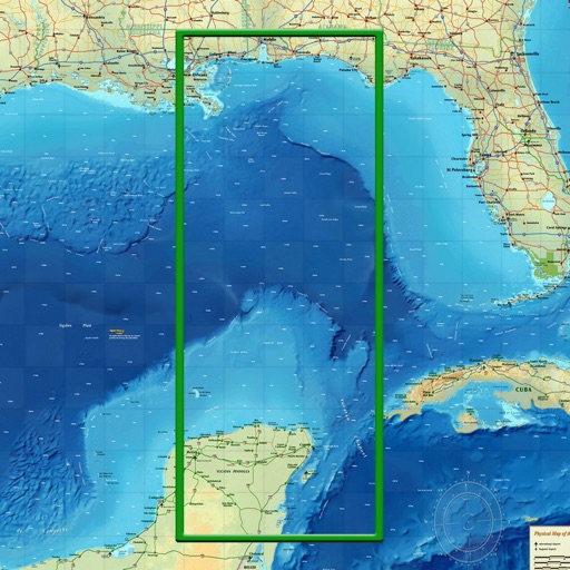
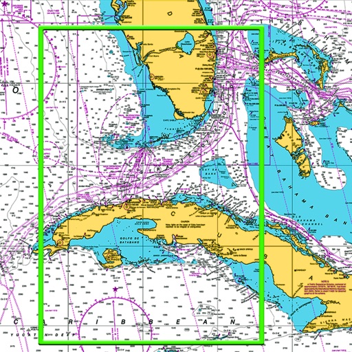
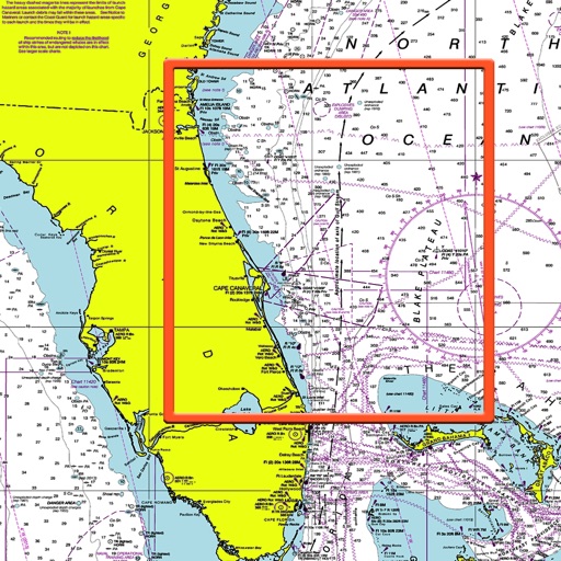
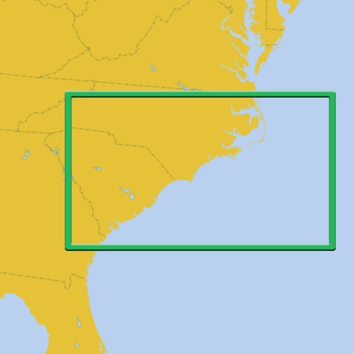
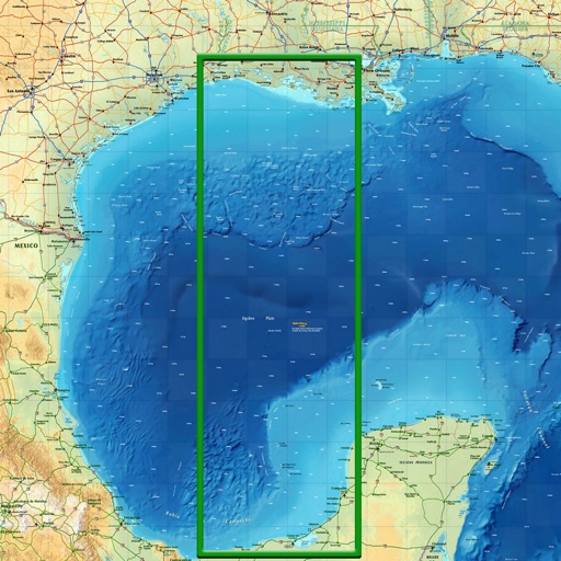
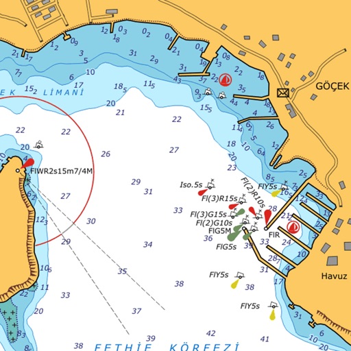
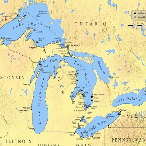
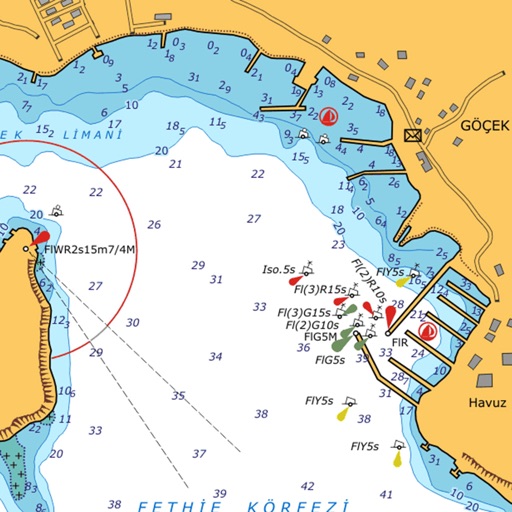
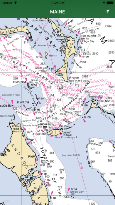
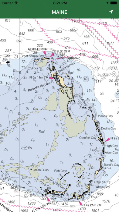
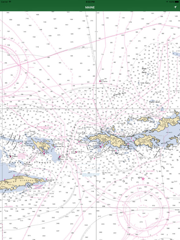
This App offers offline GPS nautical charts, marine navigation maps for fishing, kayaking, boating, yachting, diving, cruising & sailing.
Chart Tiles are created from the latest available NOAA RNCs
This app is most advanced with latest Nautical charts for easy navigation on the sea. Seamless charts display make it easier for sailing.
The Following information is available:
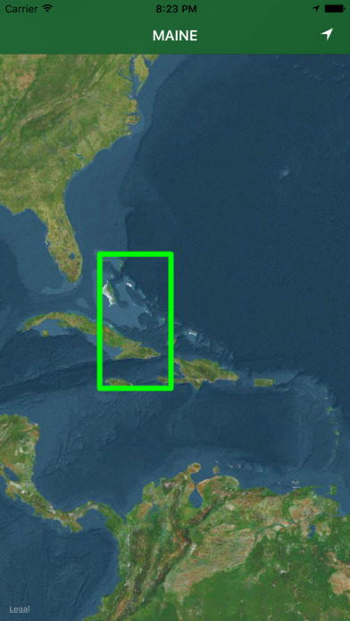
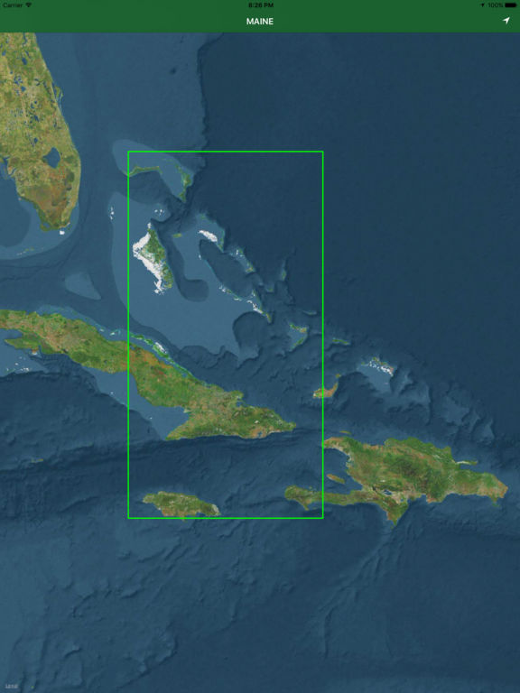
The Bahamas, Cuba, Jamaica and Puerto Rico coverage
Seamless chart quilting for continuous navigation
Map details from Coastal, Approaches, Harbour & Inland
Interactive Compass to find right directions
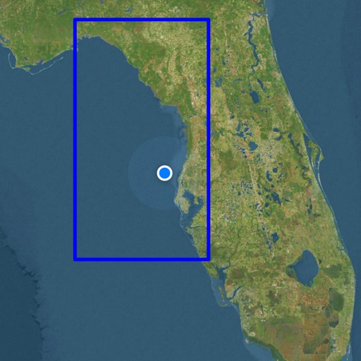
GPS location tracking on Offline map
iPhone Screenshots
(click to enlarge)


iPad Screenshots
(click to enlarge)


App Changes
- May 18, 2017 Initial release
- June 14, 2019 Price decrease: $2.99 -> $1.99
- June 16, 2019 Price decrease: $2.99 -> $1.99
- December 09, 2019 Price decrease: $1.99 -> $0.99
Other Apps From YANALA REDDY