
App Description
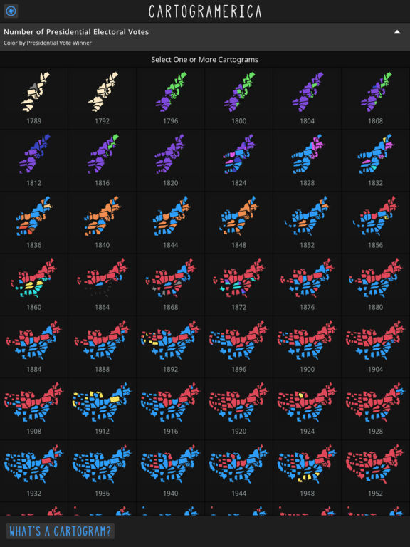
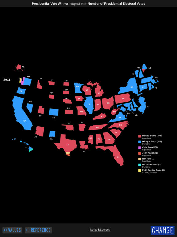
Cartogramerica is an atlas of the United States told through in cartograms. The app includes map series that span from 1790 through 2016, covering total population and presidential elections.
Includes these Map Series:
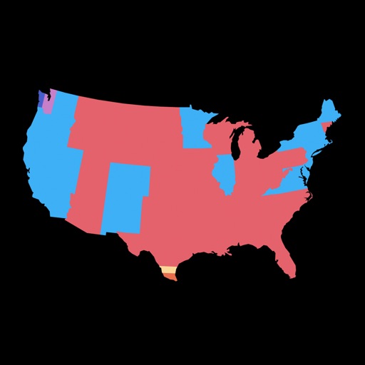
•Presidential Electoral Votes (58 maps)
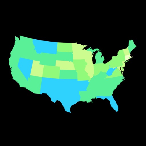
•Number of People (23 maps)
•Pounds of Tobacco (7 maps)
•Bushels of Corn (7 maps)
•Tropical Cyclone Landfalls (7 maps)
•Tornadoes (6 maps)
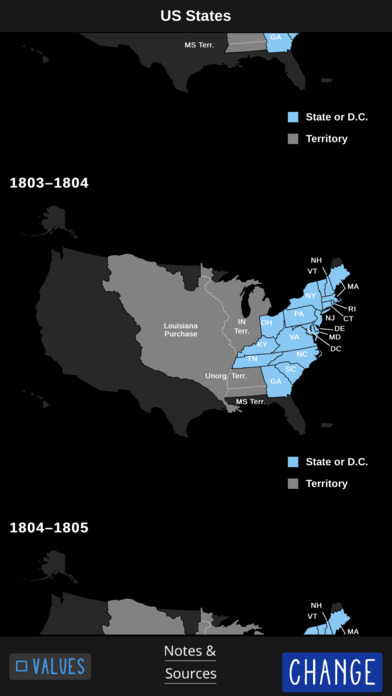
•US Territorial Expansion for Reference (51 maps)
iPhone Screenshots
(click to enlarge)


iPad Screenshots
(click to enlarge)


App Changes
- January 05, 2017 Initial release
Other Apps From James Miller