
What's New
Pixavego - Grand Teton National Park Edition has been updated to support new iOS releases and now supports new iOS devices.
App Description
Pixavego® - Grand Teton National Park Edition is an interactive tool to help guide you to the best photographic locations in Grand Teton National Park. This app provides detailed geographic location information with photographic suggestions and beautiful example photographs to help you select the best locations in the park for sunrise, midday, and sunset pictures. This curated material has been compiled over the last 19 years by a professional wildlife and landscape photographer to provide you with a terrific advantage in finding great photos during your visit to the park.
Pixavego is a self-contained app and is designed to provide location information without an active Internet connection. So you can use Pixavego in areas without cell phone or Wi-Fi service!
Pixavego will also compute driving distances between your current location and each photo location when you are within the local vicinity of the park. Outside the park vicinity, Pixavego will default to providing straight-line GPS distances to each photo location. These features provide you with real-time information to help you decide the best photo location closest to you — all without an Internet connection!
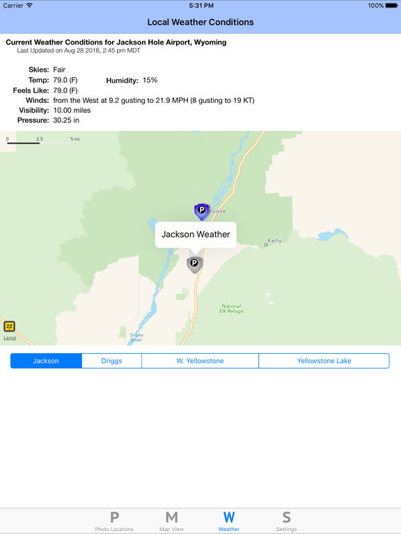
As a bonus feature, Pixavego also provides local weather conditions and sunrise and sunset times around the park if you do have an active Internet connection.
Key Pixavego features include:
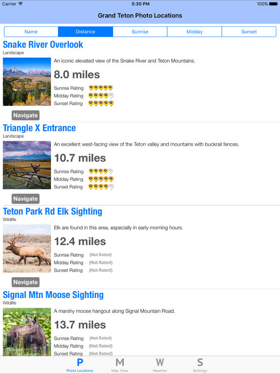
* Photo locations can be sorted by name, distance, and rating to help you find a photo location that best suits your interests.
* A cool map view of the photo locations shows your position relative to all the photo locations to help you find a nearby spot.
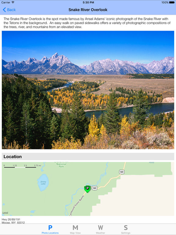
* Each photo location has detailed description information and photographic suggestions.
* Professional photographic examples are shown for each photo location to preview the spot and give you a sample photographic composition for your own photography.
* Photo locations have sunrise, midday, and sunset ranking information to help you find the best location for the time of day.
* Detailed location information is provided for each photo spot, including GPS coordinates, elevation, and mile marker information to help you find the spot quickly.
* Pixavego can help you navigate to a photo location easily by linking to the Apple Maps navigation features.
* Local weather conditions are available if you have an Internet connection to help you plan your photography around weather conditions.
* Sunrise and sunset times are provided to help you plan your photographic schedule.
Enjoy using Pixavego in Grand Teton National Park, and I wish you the best in your outdoor photographic pursuits!
iPhone Screenshots
(click to enlarge)


iPad Screenshots
(click to enlarge)


App Changes
- November 06, 2016 Initial release
- June 14, 2019 New version 1.3.1
- June 14, 2019 Price increase: $0.99 -> $1.99
- June 16, 2019 Price increase: $0.99 -> $1.99
- August 05, 2021 New version 1.5
- August 05, 2021 Price increase: $1.99 -> $2.99
Other Apps From Cam & Sprocket, LLC