

What's New
Performance improved.
App Description
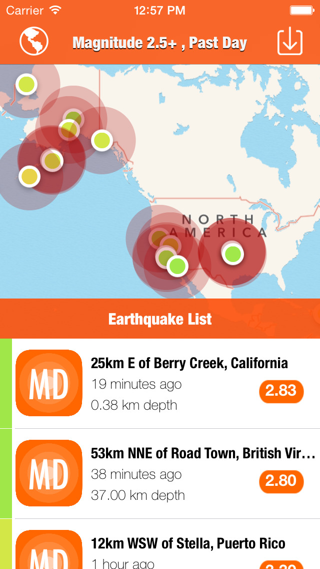
Native App to monitor the earthquakes using a feed hosted by the USGS.
NO Ads, NO IAP, NO background refresh, NO function limitation.
A Map-List application showing worldwide earthquakes.
The data feeds are from USGS website.
In the Map View, users can click a marker on the map to show the earthquake place and magnitude.
In the List View, users can swipe left and click more to navigate to summary page of the earthquake on USGS website.
You can get the latest data feeds:
1. Past Hour
2. Past Day
3. Past 7 Days
4. Past 30 Days
The earthquakes data include:
1. Significant Earthquakes
2. M4.5+ Earthquakes
3. M2.5+ Earthquakes
4. M1.0+ Earthquakes
5. All Earthquakes
iPhone Screenshots
(click to enlarge)


iPad Screenshots
(click to enlarge)


App Changes
- June 21, 2015 Initial release
- October 31, 2015 New version 1.1
- June 14, 2019 New version 1.2
Other Apps From Jian Li