
What's New
Added support for PSD and PNG files.
Minor bug fixes and app enhancements.
App Description
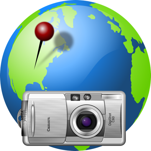
Photo GeoTag allows you to geotag JPEG, PNG, PSD and TIFF files, or change the existing geotag information. It’s a great way to add or correct the GPS properties of any JPEG, PNG, PSD or TIFF file! Have a lot of photos with no GPS values? Now you can easily geotag them. Have photos with an incorrect GPS location? Now you can easily correct the GPS location.
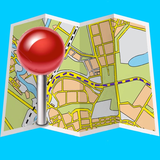
When you open a JPEG, PNG, PSD, TIF or TIFF image file with Photo GeoTag, the image and a map are displayed on a single window. If the image has GPS properties, a map pin is placed on the map representing the GPS location. To change the latitude and longitude GPS properties, simply drag the map pin to a new location. To add the latitude and longitude GPS properties, either specify the address, or the latitude and longitude values, or simply shift-click the map and a pin is dropped on the location you clicked. It’s that easy! To update the altitude, click the altitude button. No changes are made to the file until you save your changes.
A batch mode is also available for assigning the same location to multiple files.
Major features include
- Change the existing latitude and longitude location of a JPEG, PNG, PSD or TIFF geotagged file.
- Add latitude and longitude location values to a JPEG, PNG, PSD or TIFF file that has not been geotagged.
- Add or update the altitude to a geotagged JPEG, PNG, PSD or TIFF file.
- Import GPX track and waypoint data for reference only (to automatically set the photo location according to timestamps from GPX data see our app “GPX Photo Geotagger”).
- Inspector drawer shows image metadata.
- Send the location to Apple Maps.
- Choose OpenStreetMap as the map source.
- Image is no longer recompressed.
- Batch mode for processing multiple files at once.
- Displays file metadata.
- Export file metadata.
- Show satellite view of location.
- Edit or add photo creation date.
- Export screenshot of map.
Important Note:
You cannot edit photos directly within the Photos library (this is also true with other apps such as Preview). You must export the photos, geotag them, and then import them back into Photos.
For troubleshooting and more info, please click the Support button or visit http://geotag.modesittsoftware.com
iPhone Screenshots
(click to enlarge)


App Changes
- September 12, 2015 Initial release
- September 19, 2015 New version 1.7.5
- October 03, 2015 Price decrease: $3.99 -> $1.99
- December 22, 2015 New version 1.8
- January 09, 2016 New version 1.9
- February 03, 2016 New version 1.9.1
- February 13, 2016 Price increase: $1.99 -> $2.99
- February 19, 2016 New version 1.9.2
- February 19, 2016 Price increase: $2.99 -> $3.99
- February 24, 2016 New version 1.9.3
- June 21, 2016 New version 1.9.4
- June 14, 2019 New version 1.9.82
- September 10, 2019 New version 1.9.83
- November 11, 2019 New version 1.9.84
- November 26, 2019 Price decrease: $3.99 -> $1.99
- July 14, 2020 New version 1.9.85
Other Apps From William Modesitt